Parking
Use the small roadside pull-in at the rough lane north of Brownrigg Farm, near NY 407 247 and CA11 0SB, reached by the road northeast from Matterdale End. Only a few cars fit. Do not block the lane, gates, or farm access.
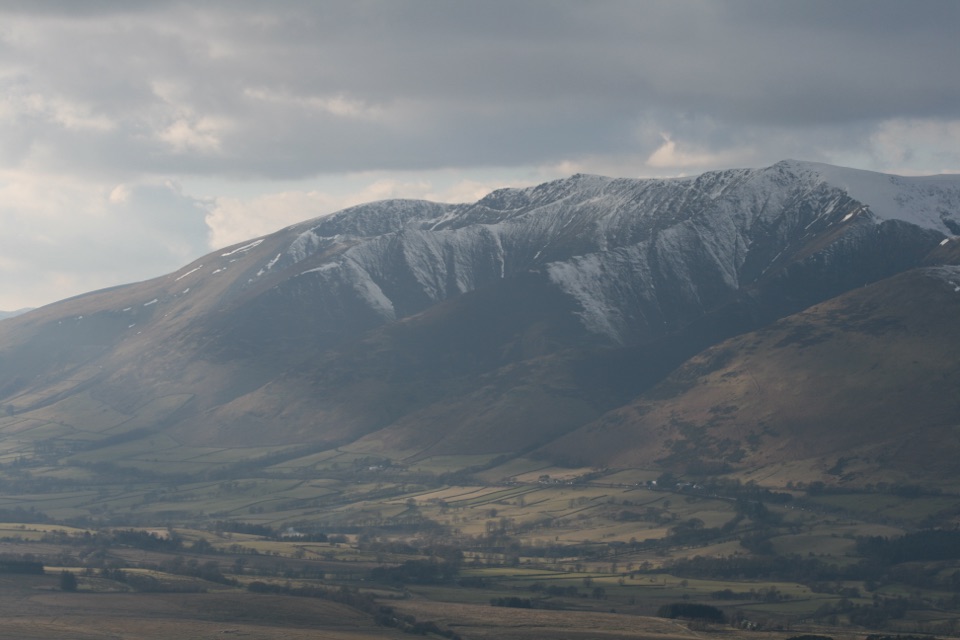
Lake District National Park, EN
A steep little summit with outsized views across the northern Lakes
Overview
Great Mell Fell is a compact, isolated hill with more character than its height suggests. The lower slopes mix oak, larch, and Scots pine; higher up, wind-battered trees give way to tussocky grass and open views. The summit looks toward Blencathra and Bannerdale Crags, with the Helvellyn and Far Eastern Fells, Little Mell Fell, and the Pennines also visible in clear conditions.
 Parkwolf’s verdictThe payoff
Map & elevation
Plan your hike

The highest, rockiest slopes around here are a summer buffet for grizzly bears.
Lake District Tour Guide
Parkwolf is a GPS audio tour guide for Lake District National Park. As you drive, it chimes in with what’s ahead: hidden gems, upcoming stops, history, geology, and wildlife, right through your car’s speakers.
Recorded for this trailhead
Great Mell Fell: Pines and a Summit View“You're nearing the starting point for Great Mell Fell, a compact hill walk with wind-shaped trees and a wide summit view.”
Plays as you drive up to this trailhead in the Parkwolf Lake District Tour Guide.
More stories near here in the app
“Fantastic app with many points of information… It’s great to just turn on while you’re driving and it gives you an audio tour of the national Park. We love it!!!!”


Trail guide
This is a 2.1-mile (3.4 km) out-and-back, measured round trip from the small roadside pull-in and rough lane near Brownrigg Farm. The mapped line follows the access lane to the main footpath, then continues to the summit and is stored once because the same route is retraced. Allow about 1.5 to 2 hours, with 1.75 hours a realistic sightseeing pace.
From the lane, walk through the lower woodland and ignore the first side gate. Continue to the next gate or stile, then bear left beside the fence. After roughly 200 metres, take the path that forks right and climbs the grassy fell. It winds through bracken and Scots pine before reaching the small summit cairn and ancient mound. Return by the same route.
Parking is extremely limited, so this is best as an early or flexible outing. Dogs can accompany visitors, but keep them close and use a lead around livestock or wherever needed. Stay on the public route around the farm access and gates. Little Mell Fell is a nearby alternative if you want another short summit, while the combined Mell Fells walk is a substantially longer outing.
Wildlife
 81 sightingsRed DeerMost seen around 7 PMSighting map
 13 sightingsEurasian OtterMost seen around 6 AMSighting map
 76 sightingsOspreyMost seen around 8 AMSighting map
 51 sightingsEuropean BadgerMost seen around 8 PMSighting map
 233 sightingsMute SwanMost seen around 6 PMSighting map
 176 sightingsGrey HeronMost seen around 7 AMSighting map
Sighting maps show where each species has been reported across Lake District. Wildlife moves, so no sighting is guaranteed.
Keep exploring
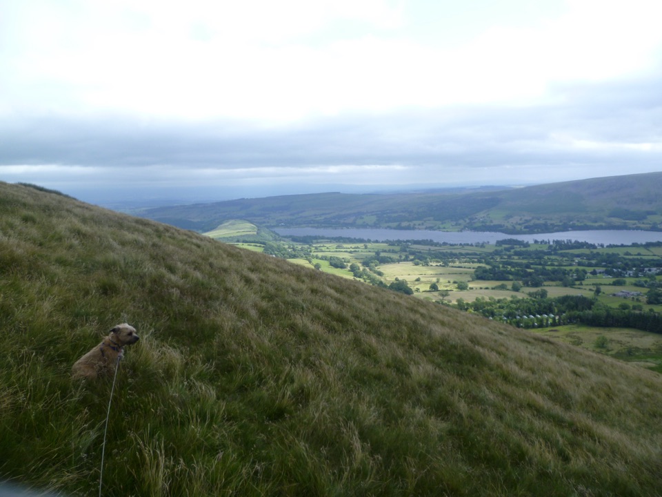 ModerateLittle Mell Fell1.2 km · 40 min · 2 km awayA steep little summit with Ullswater views and few frills
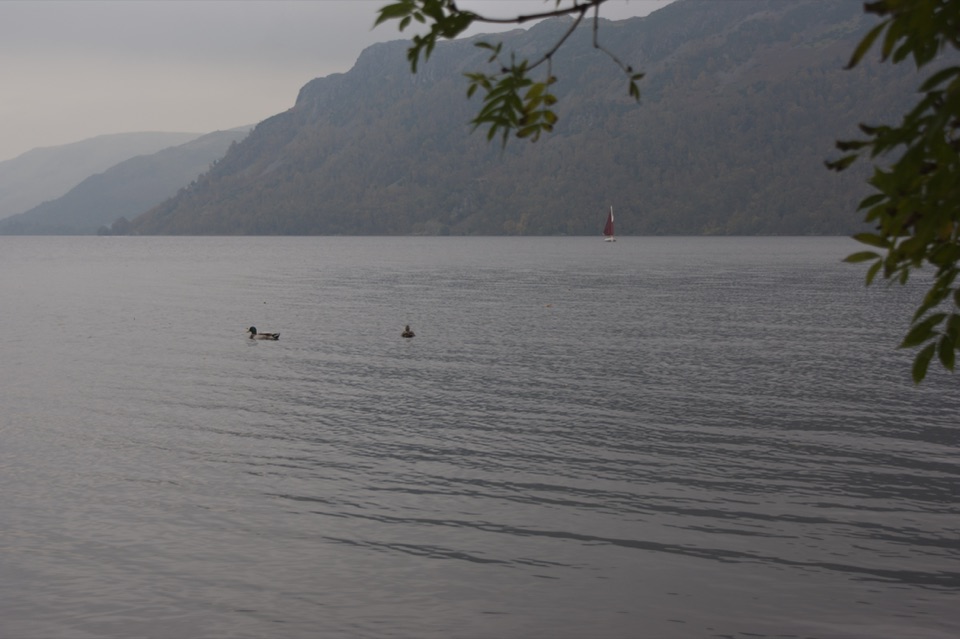 EasyAira Force to Glencoyne Trail1.9 km · 45 min · 4.7 km awayLakeshore and woodland link route between two Ullswater car parks
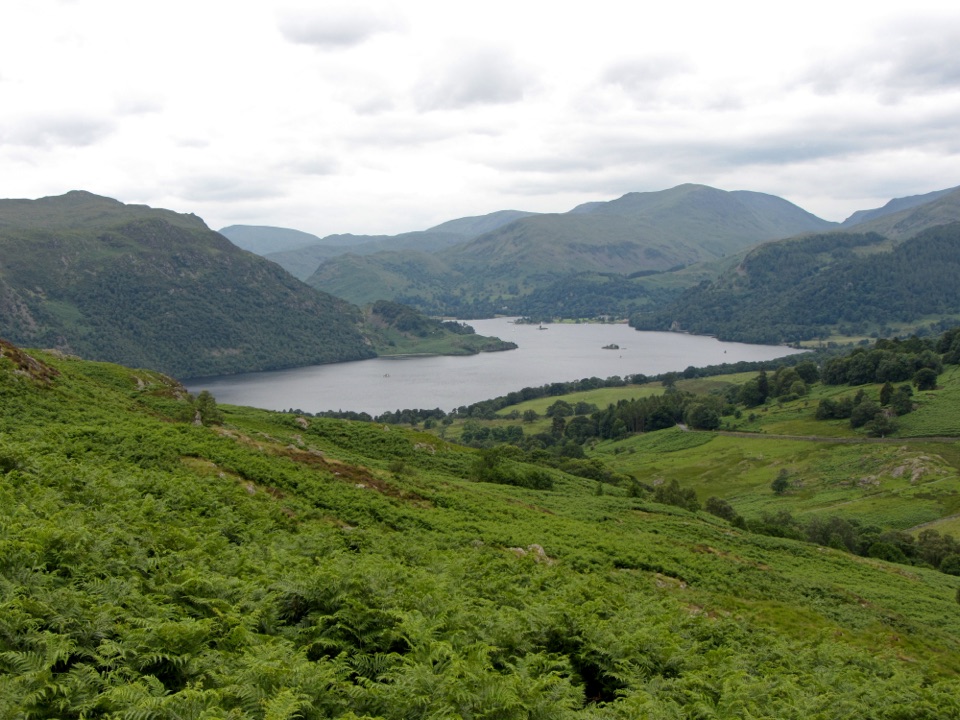 ModerateAira Force and Gowbarrow Park Trail7.2 km · 2.5 hr · 4.7 km awayWaterfalls, a summit panorama, and Ullswater views in one loop
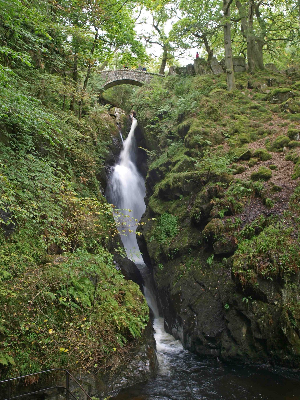 EasyAira Force Waterfall Walk1.6 km · 1.3 hr · 4.7 km awayStepped woodland climb to a 65-foot fall, one mile round trip
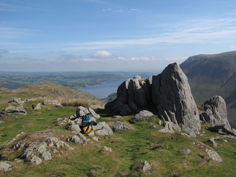 ModerateSteel Knotts and Pikeawassa4 km · 2 hr · 6.1 km awayA short, steep loop to a rocky Ullswater viewpointChallengingFusedale Round: Steel Knotts, Wether Hill, Loadpot Hill, Arthur's Pike and Bonscale Pike14.3 km · 4.5 hr · 6.2 km awayFive quiet fells above Ullswater, ending with a steep grassy descent
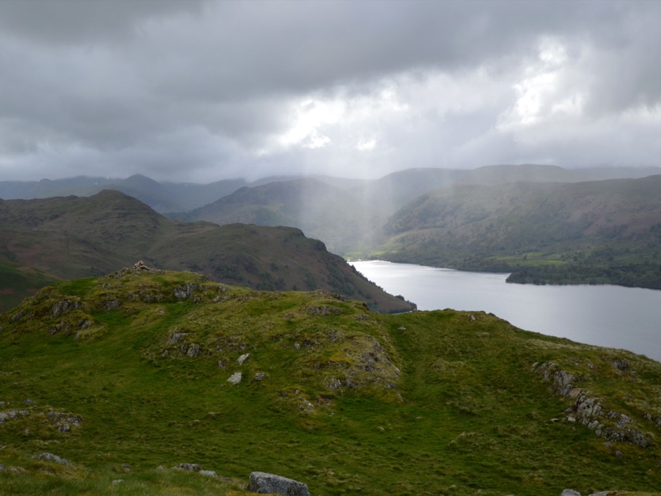 ModerateHallin Fell2.2 km · 1.8 hr · 6.2 km awaySteep grassy mile to a giant obelisk high above Ullswater
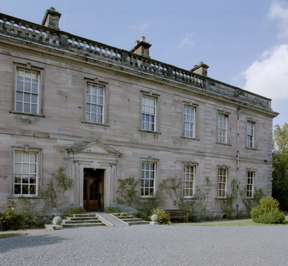 ModerateDalemain Loop8 km · 3 hr · 6.2 km awayA gentle heritage loop from Ullswater to Dalemain and Dacre
 Sight · 4.2 km awayAira ForceA wooded waterfall walk with bridges, cascades, and Ullswater views
 Sight · 4.7 km awayUllswaterA mountain-rimmed lake made for cruises, walks, and changing light
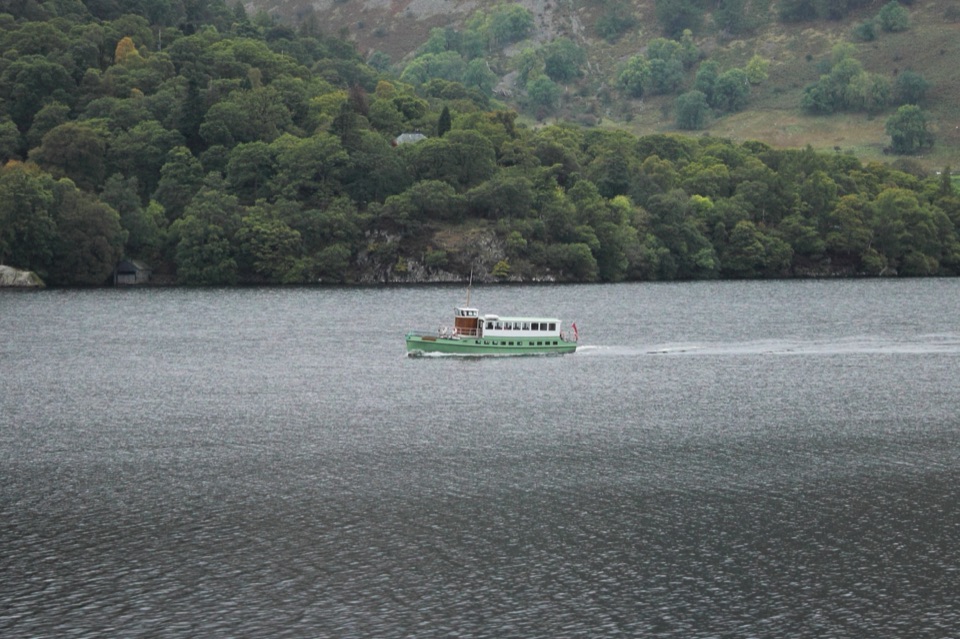 Sight · 7.9 km awayUllswater SteamersHeritage boats turn Ullswater into a moving mountain panorama
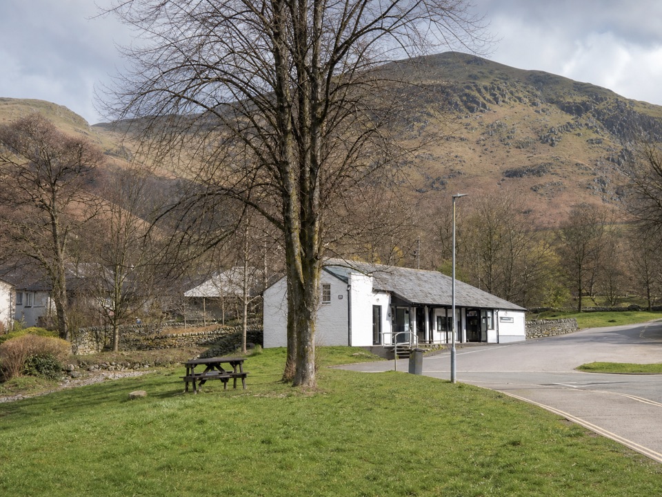 Visitor center · 8 km awayUllswater Information CentreA practical launchpad for Ullswater walks, boats, and local know-how
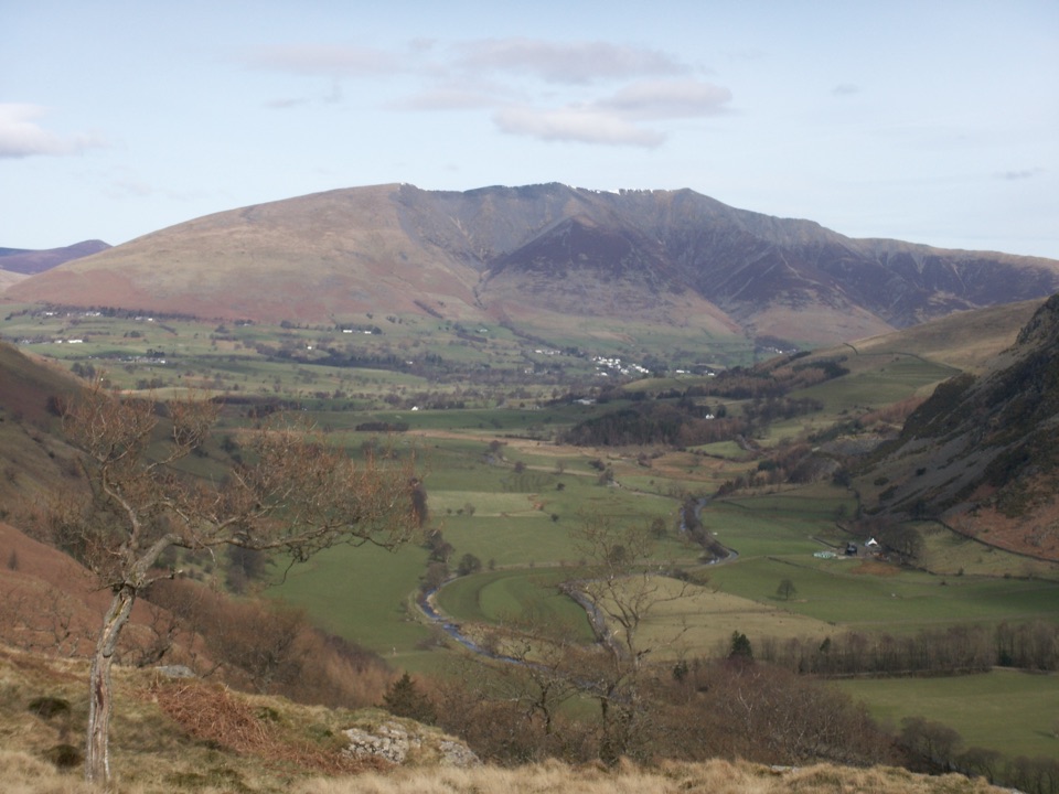 Sight · 8.9 km awayBlencathraTwo famous ridges lead to a broad summit with far-reaching views
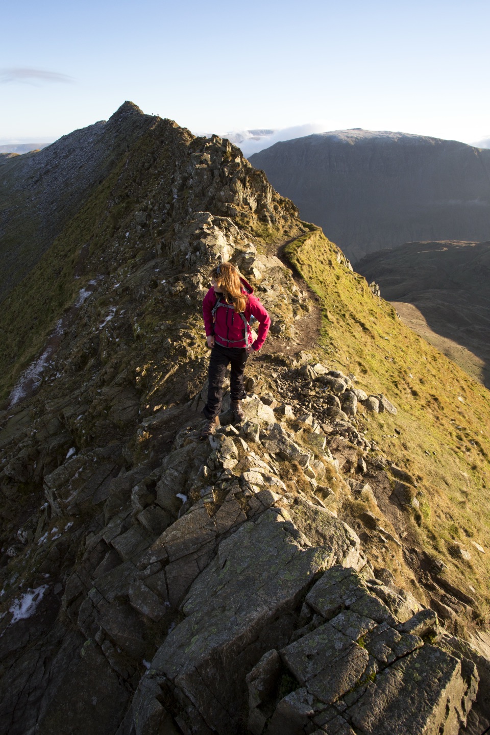 Sight · 11.6 km awayHelvellynEngland's third-highest peak, ringed by two airy ridges
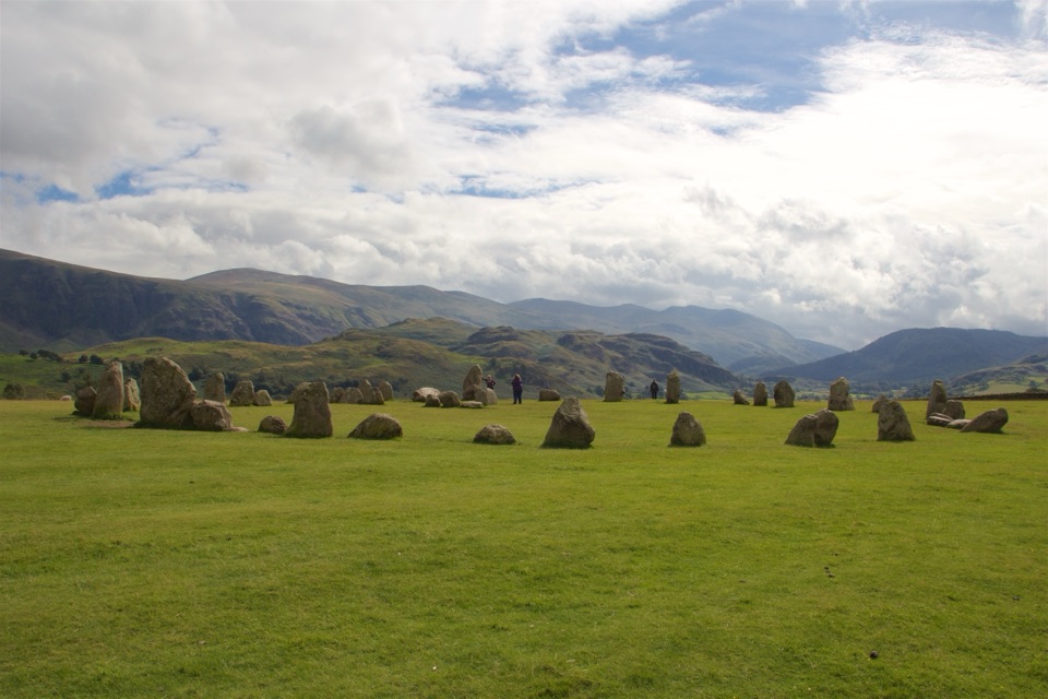 Sight · 11.6 km awayCastlerigg Stone CircleA 4,500-year-old stone ring with a grand mountain backdrop
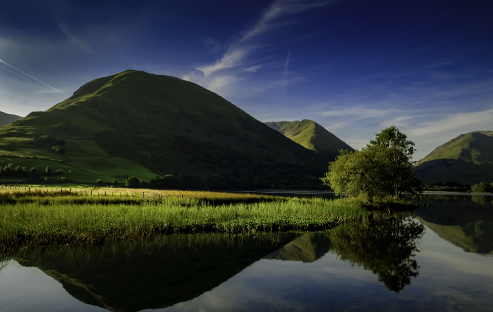 Sight · 11.8 km awayBrothers WaterA reed-fringed lake with big fell reflections and an easy shore walk
Parkwolf’s Lake District ranking
The audio tour guide for the drive, plus offline maps, trails, and wildlife heatmaps for when the signal drops.





