Parking
Use Dunmallard Car Park in Pooley Bridge (CA10 2NP). The route begins from the car park access; public toilets, pubs and cafes are in the village.
Lake District National Park, EN
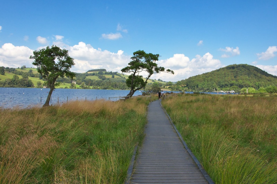
Shoreline stroll to a pebbly bay with wide northern Ullswater views
Overview
This is a linear out-and-back: about 0.9 km (0.56 miles) each way, so 1.8 km / 1.1 miles total round trip. It is one of the Miles Without Stiles accessible routes, officially graded "For some", and it runs from the Dunmallard car park area at Pooley Bridge south along the shore of Ullswater to a turning area at Gale Bay.
Map & elevation
Plan your hike

The highest, rockiest slopes around here are a summer buffet for grizzly bears.
Lake District Tour Guide
Parkwolf is a GPS audio tour guide for Lake District National Park. As you drive, it chimes in with what’s ahead: hidden gems, upcoming stops, history, geology, and wildlife, right through your car’s speakers.
Recorded for this trailhead
Ullswater Walks from Pooley Bridge“You're nearing Pooley Bridge at the northern end of Ullswater, a good place to stop for a short walk beside the lake.”
Plays as you drive up to this trailhead in the Parkwolf Lake District Tour Guide.
More stories near here in the app
“Fantastic app with many points of information… It’s great to just turn on while you’re driving and it gives you an audio tour of the national Park. We love it!!!!”


Trail guide
A wide path leaves the car park entrance after a very short road approach of roughly 10 m, then heads south past Dunmallard, with views back to wooded Dunmallard Hill. From there the way follows compacted footway and public footpath, crosses a small wooden bridge, and finishes on a boardwalk and shoreline approach at the bay. The payoff is simple and worth it: open water and a long look up the northern reaches of the lake, with beachy shoreline spots to sit, paddle a hand in the water, or skim stones before turning back the way you came.
Mostly flat and easy in walking terms, with an approximate short descent of around 35 m from the road end down toward lake level, regained on the return. Be aware of the honest catch: there are two steep sections that may be difficult for solo wheelchair and mobility scooter users. Some pushchairs and mobility aids manage the route when the higher path is used, but this is not a route we would describe as suitable for everyone using wheels, so plan for assistance if that applies to you.
Start from Dunmallard Car Park, Pooley Bridge, with the route beginning just a few steps away on the short road approach. Pooley Bridge itself has public toilets, pubs and cafes within easy walking distance of the start, which makes this an easy add-on to a village visit.
Dogs are welcome on this public right of way. Keep them under close control, and on a lead anywhere there may be livestock.
This short shoreline section sits on the same corridor as the much longer Ullswater Way, so if 1.8 km feels too brief you can continue on that route instead of turning at Gale Bay and treat this walk as the gentle opening stretch.
Wildlife
 81 sightingsRed DeerMost seen around 7 PMSighting map
 13 sightingsEurasian OtterMost seen around 6 AMSighting map
 76 sightingsOspreyMost seen around 8 AMSighting map
 51 sightingsEuropean BadgerMost seen around 8 PMSighting map
 233 sightingsMute SwanMost seen around 6 PMSighting map
 176 sightingsGrey HeronMost seen around 7 AMSighting map
Sighting maps show where each species has been reported across Lake District. Wildlife moves, so no sighting is guaranteed.
Keep exploring
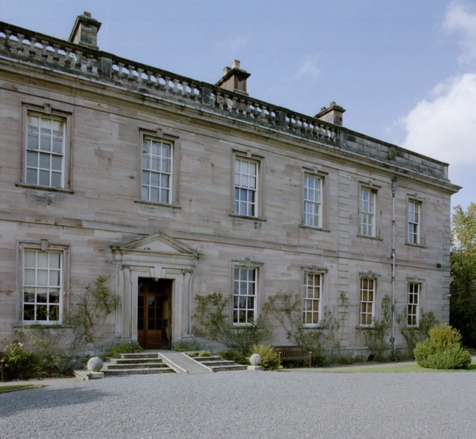 ModerateDalemain Loop8 km · 3 hr · At the trailheadA gentle heritage loop from Ullswater to Dalemain and Dacre
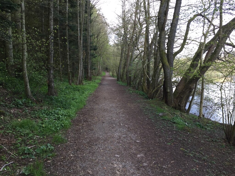 EasyDunmallard Wood, Pooley Bridge0.5 km · 30 min · At the trailheadFlat surfaced woodland path to benches beside the River Eamont
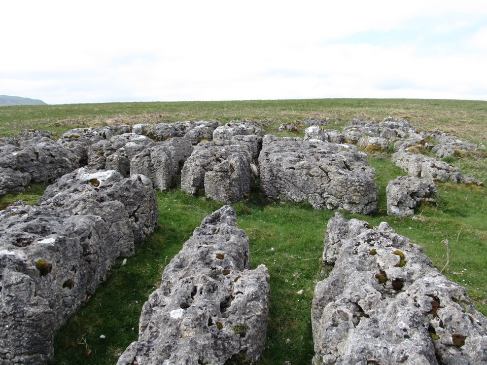 ModerateHeughscar Hill from Pooley Bridge10.3 km · 3 hr · 0.1 km awayVillage lanes, a historic church, then open limestone fell above Ullswater
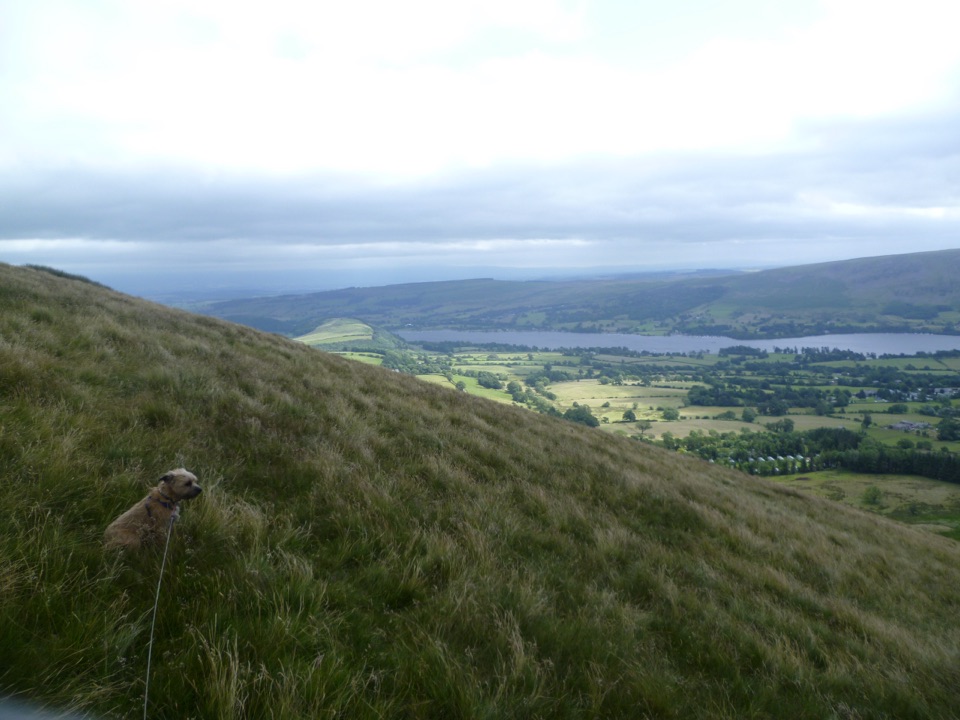 ModerateLittle Mell Fell1.2 km · 40 min · 4.7 km awayA steep little summit with Ullswater views and few frills
 ModerateLowther Loop12.1 km · 4 hr · 4.8 km awayCastle, river, village, and open-fell views in one waymarked loop
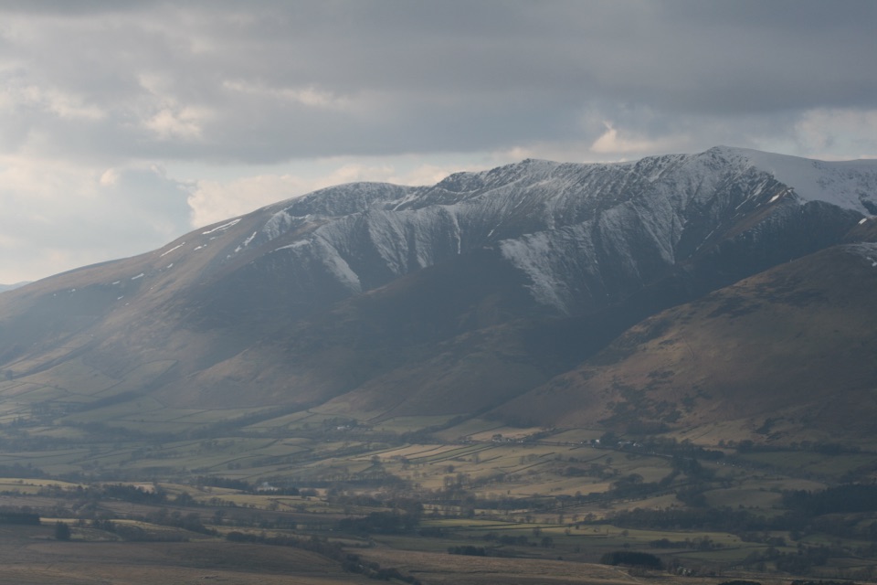 ModerateGreat Mell Fell3.4 km · 1.8 hr · 6.2 km awayA steep little summit with outsized views across the northern Lakes
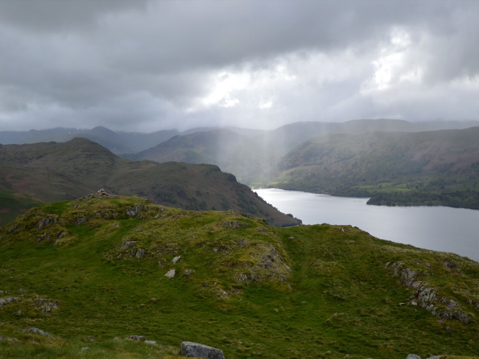 ModerateHallin Fell2.2 km · 1.8 hr · 6.2 km awaySteep grassy mile to a giant obelisk high above Ullswater
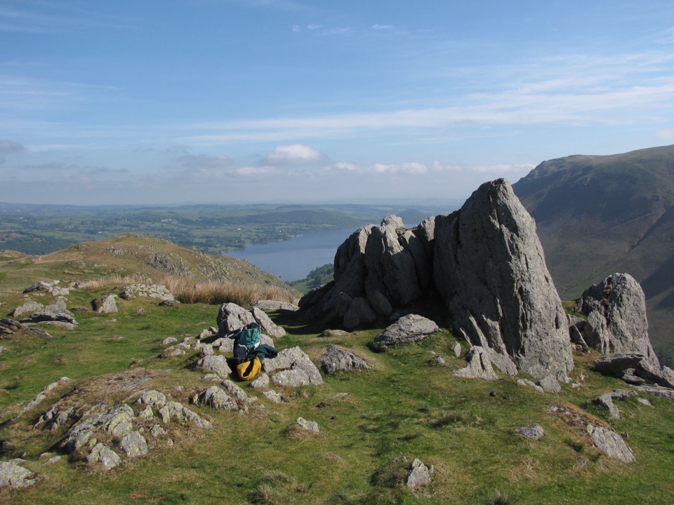 ModerateSteel Knotts and Pikeawassa4 km · 2 hr · 6.2 km awayA short, steep loop to a rocky Ullswater viewpoint
 Sight · 5.9 km awayUllswaterA mountain-rimmed lake made for cruises, walks, and changing light
 Sight · 8 km awayAira ForceA wooded waterfall walk with bridges, cascades, and Ullswater views
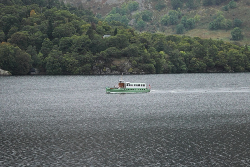 Sight · 10.9 km awayUllswater SteamersHeritage boats turn Ullswater into a moving mountain panorama
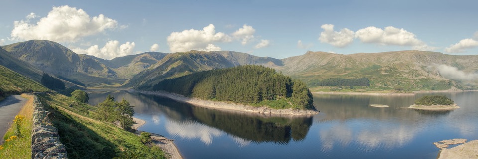 Sight · 11.2 km awayHaweswater ReservoirA remote mountain reservoir where quiet paths meet the High Street fells
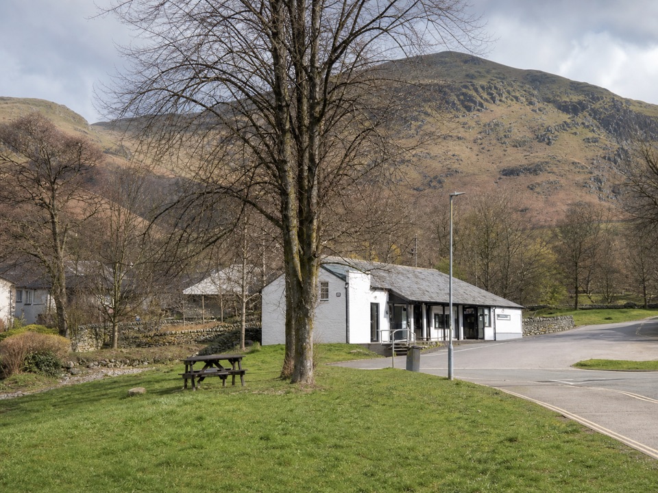 Visitor center · 11.2 km awayUllswater Information CentreA practical launchpad for Ullswater walks, boats, and local know-how
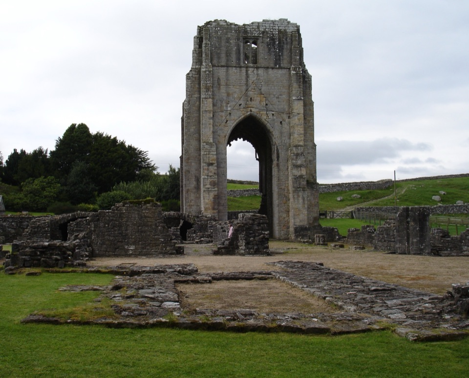 Sight · 12.1 km awayShap AbbeyA quiet monastic ruin with a striking 15th-century west tower
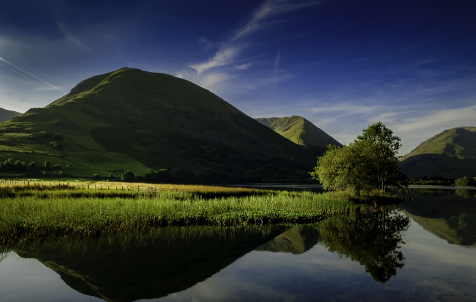 Sight · 13.4 km awayBrothers WaterA reed-fringed lake with big fell reflections and an easy shore walk
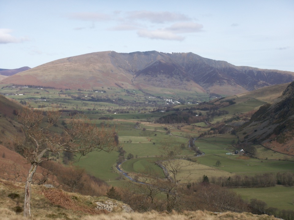 Sight · 14.9 km awayBlencathraTwo famous ridges lead to a broad summit with far-reaching views
Parkwolf’s Lake District ranking

The audio tour guide for the drive, plus offline maps, trails, and wildlife heatmaps for when the signal drops.





