Loweswater in Lake District National Park

Lake District National Park, EN

Loweswater

Level lakeshore track to a quiet bothy, with an optional steep viewpoint

Photo: Wikimedia Commons
Length
5.2km
Time
1.5hr
Elev. change
86m
Difficulty
Easy
  • Dogs allowed
  • High point 207 m
  • #80 of 265 in Lake District

Hear the audio tour

Loweswater: Holme Wood and Lakeshore

Overview

About Loweswater

This is the Miles Without Stiles Loweswater route from Maggie's Bridge car park, walked as an out-and-back. The core level route is about 4 km / 2.5 miles round trip, roughly 2 km each way. Official information also quotes 5.3 km / 3.25 miles, which includes the optional out-and-back diversion up to a viewpoint. Both figures are correct, so check which one you are following before you set off.

Why go

  • Quiet lakeshore setting
  • Accessible core route

Heads up

  • Very small car park
  • Optional viewpoint spur is steep

Map & elevation

The route

Loading the Lake District map
Full map
Elevation121–207 m
TrailheadMaggie's Bridge car park54.57714, -3.34054
Keep this map with you offline in the Parkwolf app

Plan your hike

Before you go

Parking

Start at Maggie's Bridge car park (CA13 0RU), grid reference NY 13449 21040. There are six to eight spaces and no public transport to the start. From the B5292/B5289 approach, follow signs for Loweswater and turn right at NY 138211, not signposted for Maggie's Bridge.


Best time to go

Walk in daylight and good visibility. Spring and summer bring woodland foliage and wildflowers, while autumn brings colour and lake reflections. For photography, calm early or late light gives the best chance of clean reflections across the water, though still conditions are never guaranteed.

Safety

The optional viewpoint spur reaches a steep 1 in 7 gradient. The main route includes a small stream crossing before the lakeshore.

8 active Lake District alerts

  • ClosureChapel Stile footpath closed for retaining-wall riskPart of Footpath 543030 between Chapel Stile and Baysbrown campsite is closed because a retaining wall beside the path could collapse and material it supports could fall across the footpath.Official details
  • ClosureStanley Ghyll Lower Falls footpath closed for rockfallThe section of Footpath 408037 leading towards Stanley Ghyll Lower Falls is closed because severe rockfall damage has made the path unstable and further rockfall remains a danger.Official details
See all 8 alerts
A park ranger sits on a dash-mounted phone, talking, as Parkwolf’s Tour Guide plays “Army Cutworm Moths: A Grizzly Bear Buffet” on Grand Loop Road below Dunraven Pass in Yellowstone
Parkwolf Tour GuideThe highest, rockiest slopes around here are a summer buffet for grizzly bears.

Lake District Tour Guide

Your drive to Loweswater, narrated.

Parkwolf is a GPS audio tour guide for Lake District National Park. As you drive, it chimes in with what’s ahead: hidden gems, upcoming stops, history, geology, and wildlife, right through your car’s speakers.

Recorded for this trailhead

Loweswater: Holme Wood and Lakeshore
0:00 / 1:18
“Up ahead is Maggie's Bridge, the starting point for a quiet walk beside Loweswater and through Holme Wood.”

Plays as you drive up to this trailhead in the Parkwolf Lake District Tour Guide.

More stories near here in the app

  • Loweswater: Mellbreak and Scale Force
  • Lanthwaite Wood: Shore and Hilltop Views
  • Waterend: Burnbank Fell and the Terrace
  • Thackthwaite: Low Fell and Fellbarrow
  • 298 audio storiesacross Lake District’s roads, triggered by GPS as you drive
  • Wildlife heatmapsfor Red Deer, Eurasian Otter, Osprey, and 13 more
  • Works offlinemaps, 265 trails, 89 places, and audio download before you lose signal
  • CarPlay readysimple controls built for the drive
★★★★★
“Fantastic app with many points of information… It’s great to just turn on while you’re driving and it gives you an audio tour of the national Park. We love it!!!!”
JMJamesApp Store review
Download Parkwolf on the App StoreGet Parkwolf on Google Play

4.7 from 8,600+ ratings

Trail guide

Hiking Loweswater

The walk in sequenceFrom the car park, a stone and compacted track leads past Watergate Farm, then through a gate…

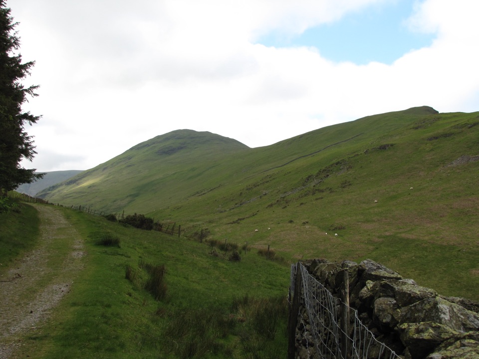
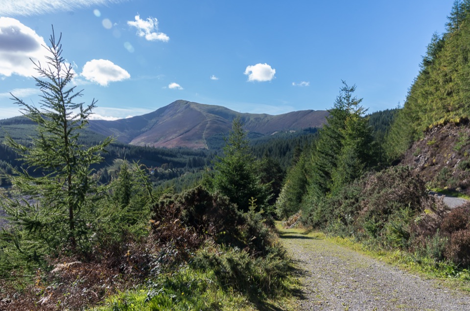
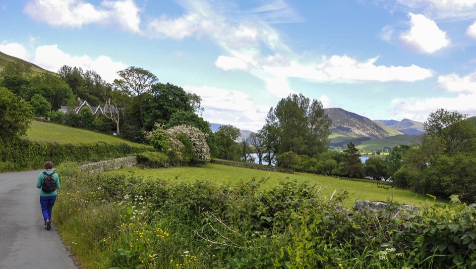
From the car park, a stone and compacted track leads past Watergate Farm, then through a gate into Holme Wood. You cross a small stream, then reach the lakeshore and a small lakeshore bothy, a natural pause point. The path continues beside the water to the official turning point, from where you retrace your steps. The optional spur branches near the lakeshore and climbs to a viewpoint with a picnic bench before returning the same way.

Difficulty and footingThe core route is mostly level and easy, on stone and compacted track, woodland path and…

The core route is mostly level and easy, on stone and compacted track, woodland path and lakeshore path. The lakeshore section is fully wheelchair accessible with accessible gates, and mobility scooters must be class 2 or 3. The optional viewpoint spur is a different matter: it reaches a 1 in 7 gradient and is steep, so the whole optional experience should not be treated as fully accessible. The small stream crossing is the one durable feature to note underfoot on the main route.

Scenery and atmosphereLoweswater sits in a peaceful and relatively quiet corner, and the walk keeps that feeling.

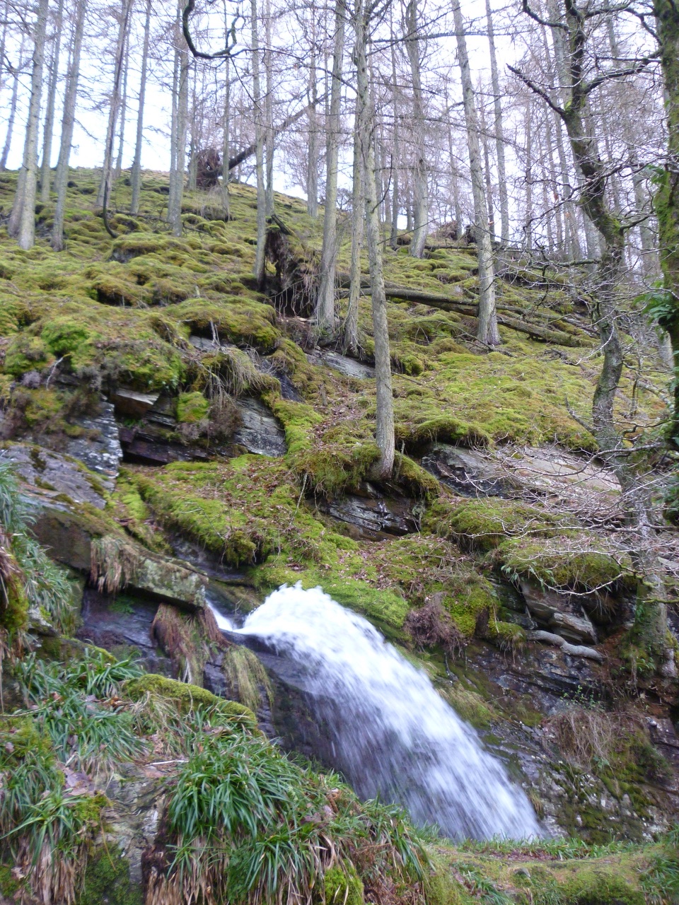
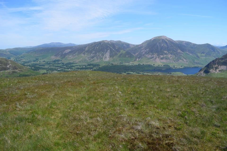
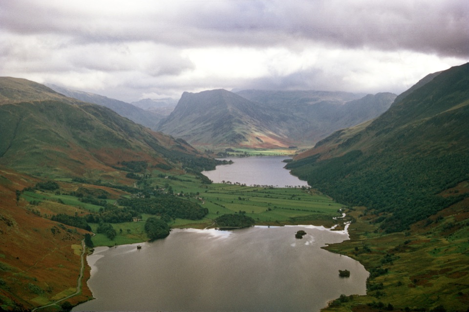
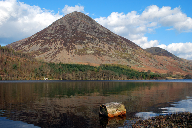
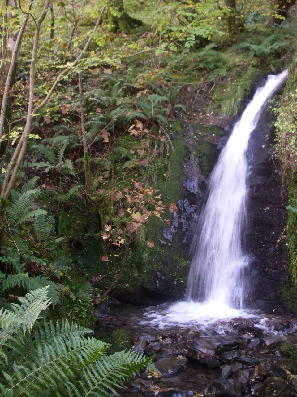
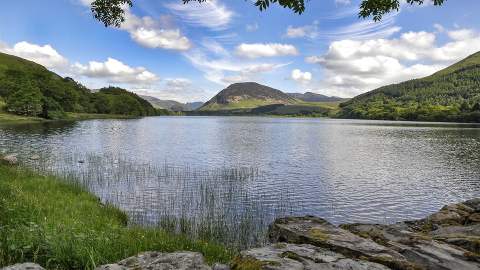
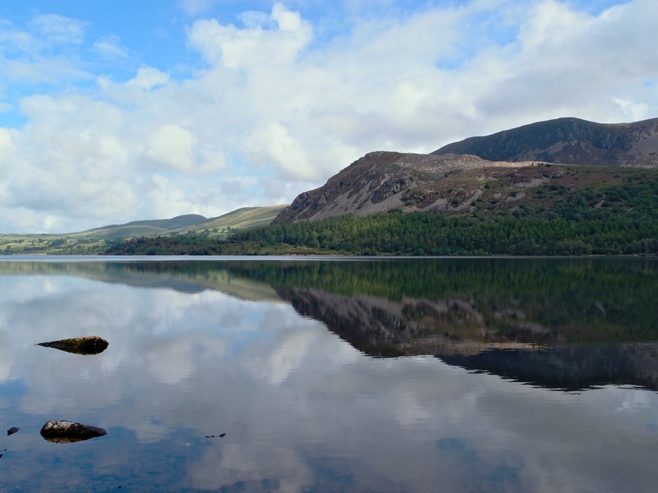
Loweswater sits in a peaceful and relatively quiet corner, and the walk keeps that feeling. Expect woodland, birdsong and wildflowers in season, open views across the lake toward Fellbarrow, and views toward Mellbreak. There is little sense of exposure, with woodland and lakeshore shelter for most of the way.

Parking and accessStart from Maggie's Bridge car park, CA13 0RU, grid reference NY 13449 21040.

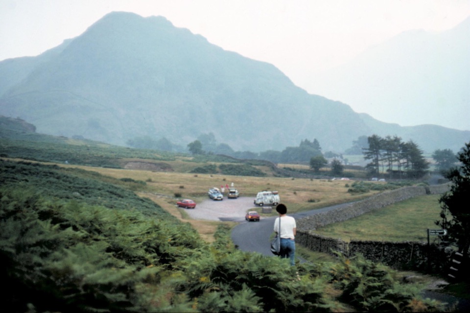
Start from Maggie's Bridge car park, CA13 0RU, grid reference NY 13449 21040. There are only six to eight spaces and it can become busy, so an early start helps. There is no public transport to the start. Drive via the B5292 from Cockermouth and the B5289 through Low Lorton, follow signs for Loweswater, then turn right at NY 138211, which is not signposted for Maggie's Bridge.

Facilities and dogsThere are no facilities on the route.

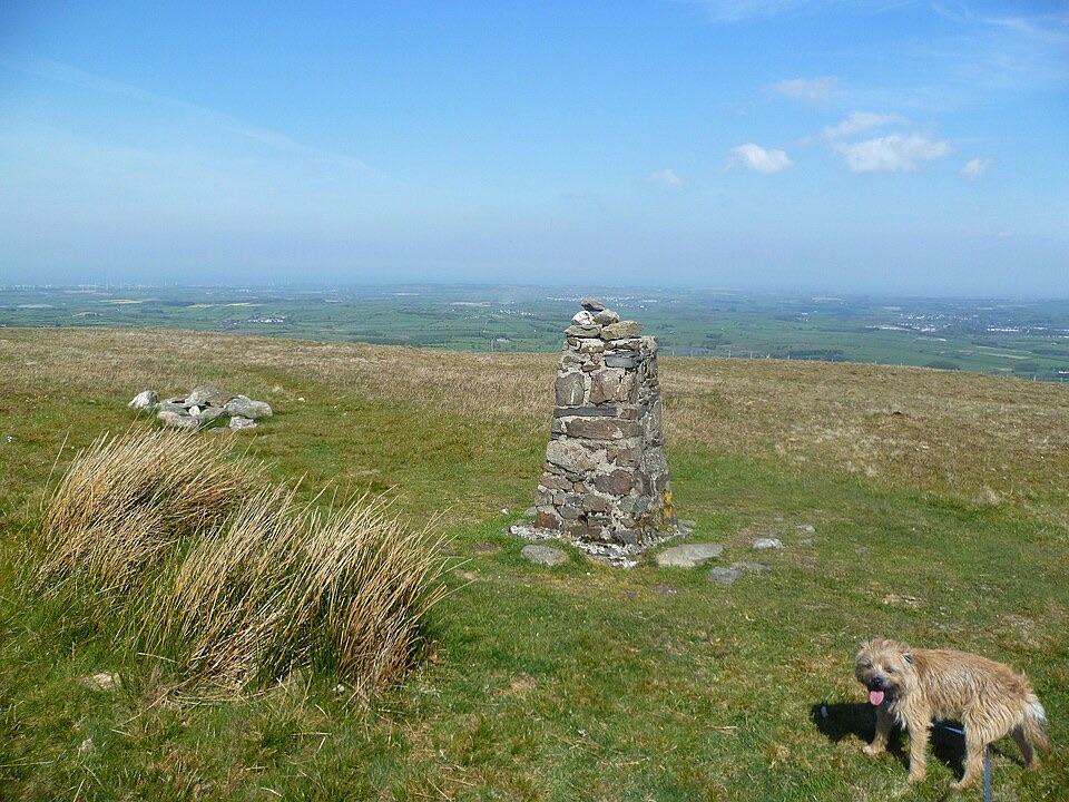
There are no facilities on the route. The nearest toilets and refreshments are at the Kirkstile Inn in Loweswater village, for customers. Dogs are allowed, and they must be on leads anywhere livestock may be present, which includes the farmland section near the start.

If you want moreThis Miles Without Stiles route is designed to be level and accessible.

This Miles Without Stiles route is designed to be level and accessible. A longer circuit in the same area exists as a separate, more strenuous option with rougher ground and greater effort, so treat it as a different walk rather than an extension of this one.

Wildlife

Wildlife in Lake District

All Lake District wildlife maps

Sighting maps show where each species has been reported across Lake District. Wildlife moves, so no sighting is guaranteed.

Keep exploring

Near Loweswater

See it all on the map

Trails that start nearby

Places near the trailhead

Parkwolf’s Lake District ranking

Top-rated trails in Lake District

All 265 trails
  1. 1Scafell Pike via Hollow Stones from WasdaleChallenging · 9 km
  2. 2Helvellyn via Striding Edge and Swirral EdgeChallenging · 12.4 km
  3. 3CatbellsModerate · 6.6 km
  4. 4The Old Man of ConistonChallenging · 9 km
  5. 5Buttermere CircularEasy · 7.6 km
  6. 6The Fairfield HorseshoeChallenging · 17.2 km

Take Parkwolf to Lake District.

The audio tour guide for the drive, plus offline maps, trails, and wildlife heatmaps for when the signal drops.

4.7 from 8,600+ ratings

Download Parkwolf on the App StoreGet Parkwolf on Google Play