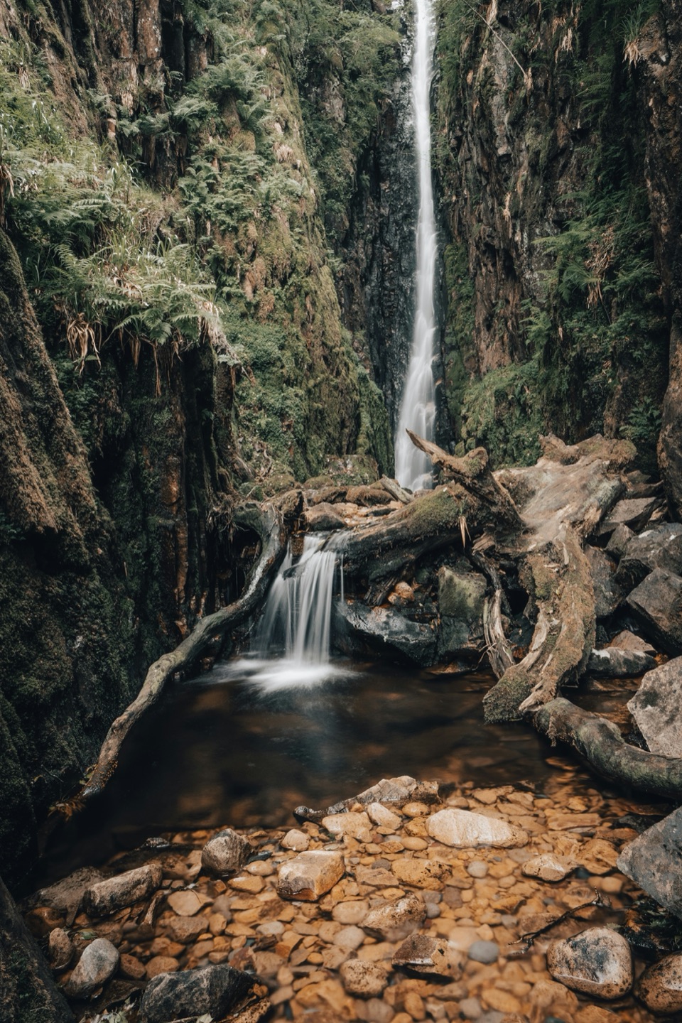
Scale Force in Lake District National Park

Sight · Lake District National Park

Scale Force

The Lakes' tallest single drop thunders through a mossy gorge

Photo: Unsplash License
Type
Sight
Nearest trail
1.8 km
Audio stories
2 nearby
  • Scenic viewpoint

Hear the audio tour

Buttermere: Lakeshore and Village

Overview

About Scale Force

Why stop

  • A towering, echoing waterfall in a genuinely wild gorge
  • Fuller flow after rain makes the falls especially dramatic

Heads up

  • Boggy approach and slick rock in wet weather
  • The upper fall requires a scramble beyond the safer footbridge
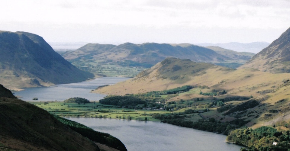
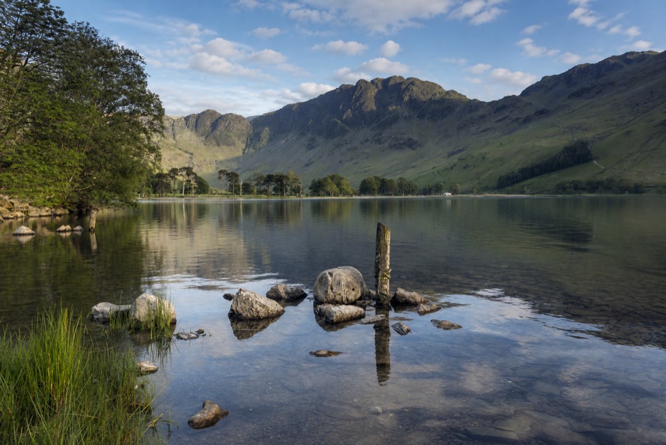
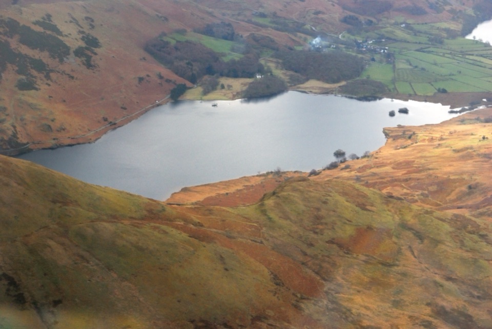
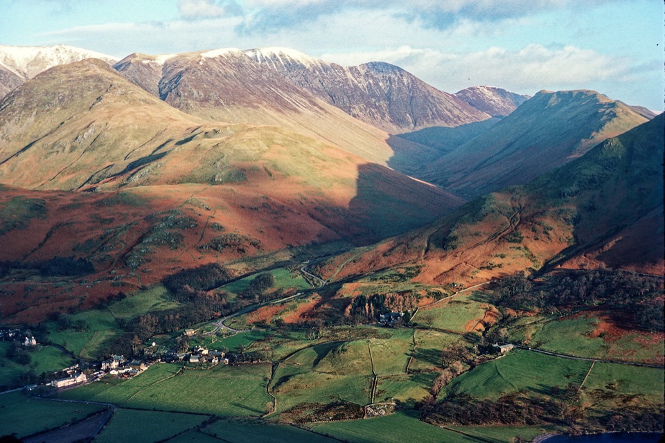
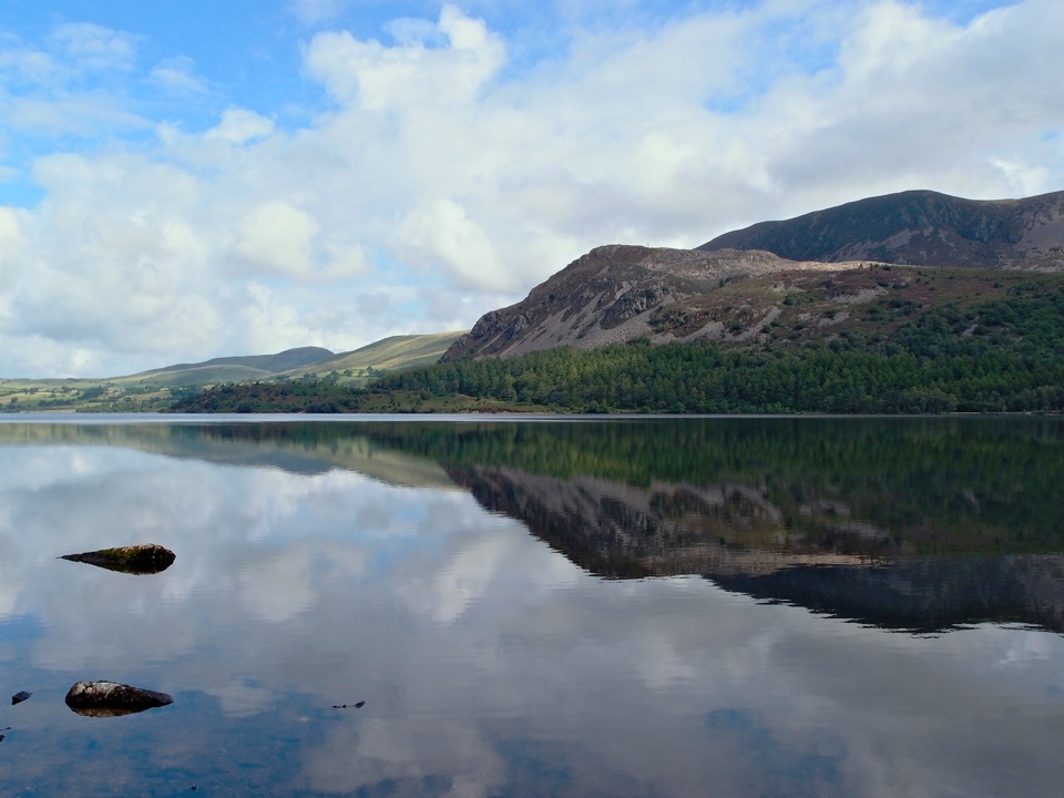
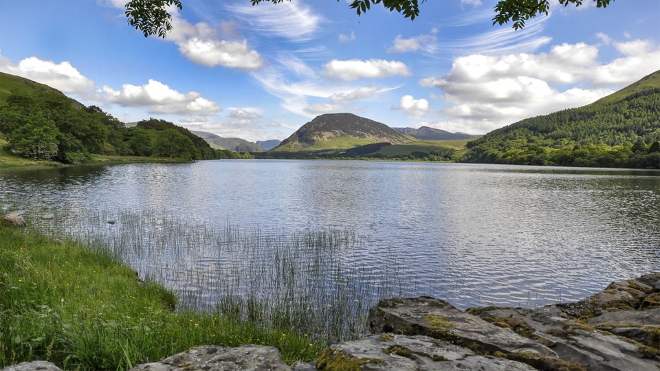
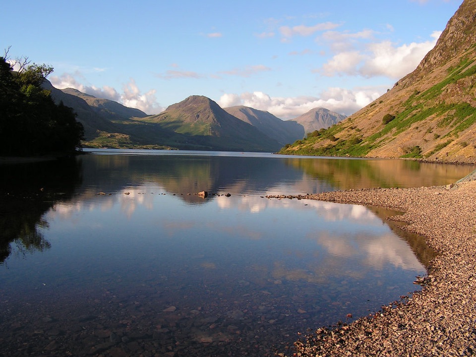
Scale Force is the Lake District's tallest single-drop waterfall, dropping 51.8 metres on the west side of Crummock Water. It is set back in a narrow, tree-lined rock gorge, so the experience is more intimate than a roadside cascade. From the footbridge, the water roars through the cleft and the sound carries well beyond the first view.
Parkwolf’s verdictWhy stop

Map

Where it is

Loading the Lake District map
Full map
SightScale Force54.54181, -3.31464
Keep this map with you offline in the Parkwolf app

Plan your stop

Before you go

Best time to go

The waterfall is usually most impressive after rain, but that is also when the approach is muddiest and the rocks are most slippery. Start early on a weekend or during school holidays if you want a quieter walk and an easier chance of finding parking in Buttermere. A weekday morning is the calmest bet.

The gorge is heavily shaded, so soft overcast light often photographs better than harsh midday sun. Bring a waterproof layer, water, and an offline map. Mobile signal is limited around the valley, and the falls themselves are a remote footpath destination rather than a serviced roadside stop. Plan to use the toilets and other facilities in Buttermere village before setting out.


8 active Lake District alerts

  • ClosureChapel Stile footpath closed for retaining-wall riskPart of Footpath 543030 between Chapel Stile and Baysbrown campsite is closed because a retaining wall beside the path could collapse and material it supports could fall across the footpath.Official details
  • ClosureStanley Ghyll Lower Falls footpath closed for rockfallThe section of Footpath 408037 leading towards Stanley Ghyll Lower Falls is closed because severe rockfall damage has made the path unstable and further rockfall remains a danger.Official details
See all 8 alerts
A park ranger sits on a dash-mounted phone, talking, as Parkwolf’s Tour Guide plays “Army Cutworm Moths: A Grizzly Bear Buffet” on Grand Loop Road below Dunraven Pass in Yellowstone
Parkwolf Tour GuideThe highest, rockiest slopes around here are a summer buffet for grizzly bears.

Lake District Tour Guide

Your drive to Scale Force, narrated.

Parkwolf is a GPS audio tour guide for Lake District National Park. As you drive, it chimes in with what’s ahead: hidden gems, upcoming stops, history, geology, and wildlife, right through your car’s speakers.

Recorded for this place

Buttermere: Lakeshore and Village
0:00 / 1:10
“You're nearing Buttermere village, where a low-level lakeshore walk puts you right beneath the high fells.”

Plays as you drive up to Scale Force in the Parkwolf Lake District Tour Guide.

More stories near here in the app

  • Crummock Water: Cinders and Grasmoor
  • Loweswater: Mellbreak and Scale Force
  • Loweswater: Holme Wood and Lakeshore
  • Newlands Hause: Knott Rigg and Ard Crags
  • 298 audio storiesacross Lake District’s roads, triggered by GPS as you drive
  • Wildlife heatmapsfor Red Deer, Eurasian Otter, Osprey, and 13 more
  • Works offlinemaps, 265 trails, 89 places, and audio download before you lose signal
  • CarPlay readysimple controls built for the drive
★★★★★
“Fantastic app with many points of information… It’s great to just turn on while you’re driving and it gives you an audio tour of the national Park. We love it!!!!”
JMJamesApp Store review
Download Parkwolf on the App StoreGet Parkwolf on Google Play

4.7 from 8,600+ ratings

Guide

More about Scale Force

The walkFrom Buttermere car park, allow about two hours for the return visit.

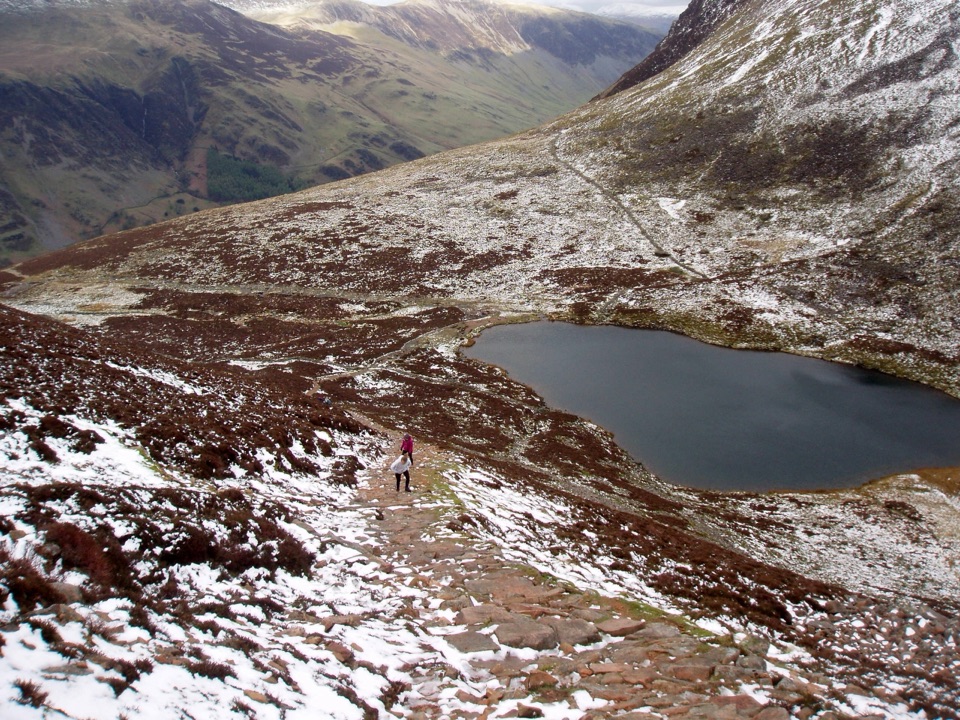
From Buttermere car park, allow about two hours for the return visit. The approach is mostly gentle, following paths around the lower end of Crummock Water before climbing toward the falls. The ground can turn boggy, rocky, and wet, so sturdy boots are worth bringing even in a dry spell.

The footbridge gives you the safer view. Reaching the upper fall means scrambling over a large boulder and other rocks that can be slick with moss. That extra section is not essential to the visit, and it is a poor choice when the rocks are wet or the water is running hard. Keep dogs on leads and take care around the water and uneven ground.

Honest takeScale Force is worth the walk if you want a genuinely atmospheric waterfall, not just a quick…

Scale Force is worth the walk if you want a genuinely atmospheric waterfall, not just a quick photo from the car. The bridge makes the main view worthwhile, but the route is not as easy as the short distance suggests: bog, erosion, and the optional scramble can all slow you down. If you need a flat, step-free attraction, choose another stop in the valley.

Wildlife

Wildlife in Lake District

All Lake District wildlife maps

Sighting maps show where each species has been reported across Lake District. Wildlife moves, so no sighting is guaranteed.

Keep exploring

Near Scale Force

See it all on the map

Trails nearby

More stops nearby

Parkwolf’s Lake District ranking

Top sights in Lake District

All 89 places
  1. 1WindermereSight
  2. 2Scafell PikeSight
  3. 3UllswaterSight
  4. 4DerwentwaterSight
  5. 5Wast WaterSight
  6. 6Aira ForceSight

Take Parkwolf to Lake District.

The audio tour guide for the drive, plus offline maps, trails, and wildlife heatmaps for when the signal drops.

4.7 from 8,600+ ratings

Download Parkwolf on the App StoreGet Parkwolf on Google Play