Parking
Use the small roadside lay-by on the A591 at Dunmail Raise, near NY328116. The trail starts via a short access track; parking is very limited and there are no facilities at the start.
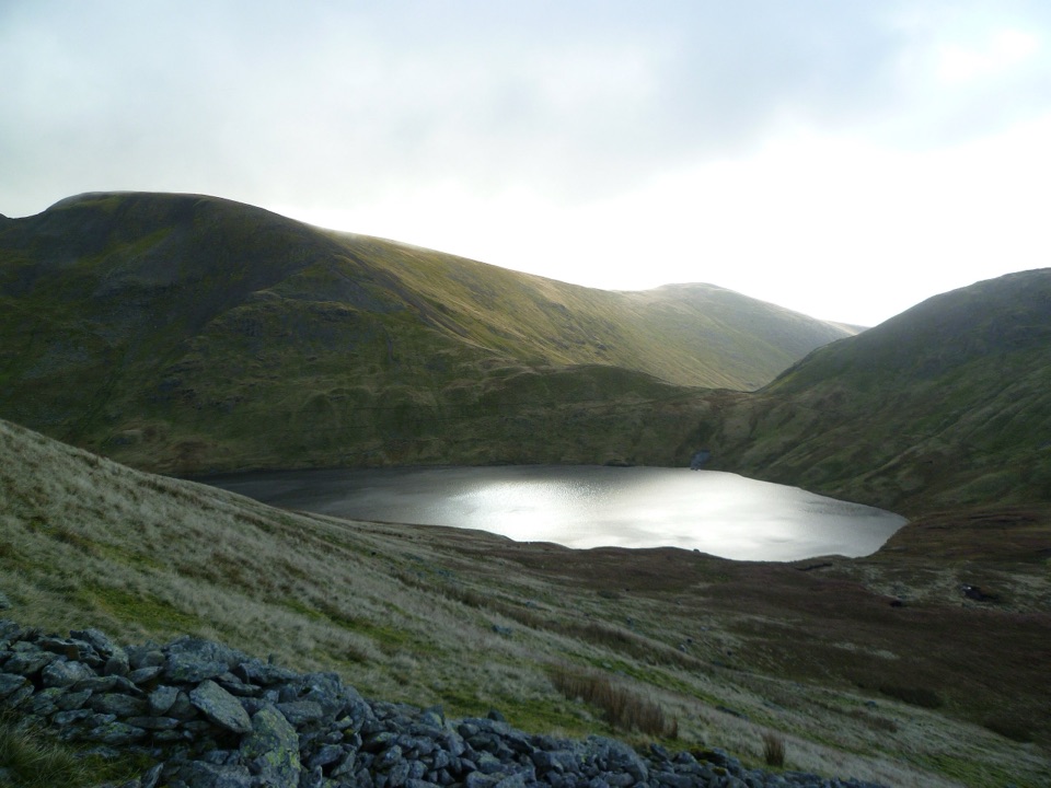
Lake District National Park, EN
Steep beckside climb to a dark tarn ringed by high Lakeland fells
Overview
An out-and-back hike of 4.7 miles round trip, starting from the roadside lay-by on the A591 at Dunmail Raise and finishing at Grisedale Tarn before you retrace the same path down. Most walkers take 3 to 4.5 hours, with about 3.75 hours a fair planning figure. The ascent is substantial, roughly 390 m of climbing, and it comes in a sustained push rather than in gentle stages.
Map & elevation
Plan your hike

The highest, rockiest slopes around here are a summer buffet for grizzly bears.
Lake District Tour Guide
Parkwolf is a GPS audio tour guide for Lake District National Park. As you drive, it chimes in with what’s ahead: hidden gems, upcoming stops, history, geology, and wildlife, right through your car’s speakers.
Recorded for this area
Mill Bridge: Seat Sandal and the Grasmere View“You're coming up to Mill Bridge, the starting area for Seat Sandal, a quieter fell walk with a fine view down toward Grasmere.”
Plays near this trailhead in the Parkwolf Lake District Tour Guide.
More stories near here in the app
“Fantastic app with many points of information… It’s great to just turn on while you’re driving and it gives you an audio tour of the national Park. We love it!!!!”


Trail guide
The payoff is the high mountain setting: an enclosed tarn, steep surrounding slopes, and wide fell views on clearer days. Expect a proper hill walk rather than a level waterside stroll.
Rated 6/10, which in practice feels moderate to hard. There is no scrambling on this route, but the ground demands attention:
Boots with grip and ankle support make a real difference, and poles help on the descent.
Parking is the main constraint. The lay-by at Dunmail Raise is small, sits beside a fast main road, and fills early on busy days. There are no toilets, cafes, or water on the route, so bring what you need and take litter home.
If the climb or the parking sounds like too much, Easedale Tarn from Grasmere is shorter and easier to reach, with a milder valley feel. It is a pleasant tarn walk, but it does not put you in the same steep, enclosed high fell surroundings as Grisedale Tarn.
Wildlife
 81 sightingsRed DeerMost seen around 7 PMSighting map
 13 sightingsEurasian OtterMost seen around 6 AMSighting map
 76 sightingsOspreyMost seen around 8 AMSighting map
 51 sightingsEuropean BadgerMost seen around 8 PMSighting map
 233 sightingsMute SwanMost seen around 6 PMSighting map
 176 sightingsGrey HeronMost seen around 7 AMSighting map
Sighting maps show where each species has been reported across Lake District. Wildlife moves, so no sighting is guaranteed.
Keep exploring
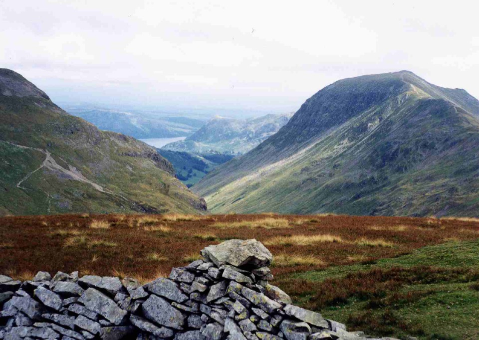 ChallengingSeat Sandal6.9 km · 3.5 hr · At the trailheadSteep Tongue Gill climb to a quiet 737m summit above Grasmere
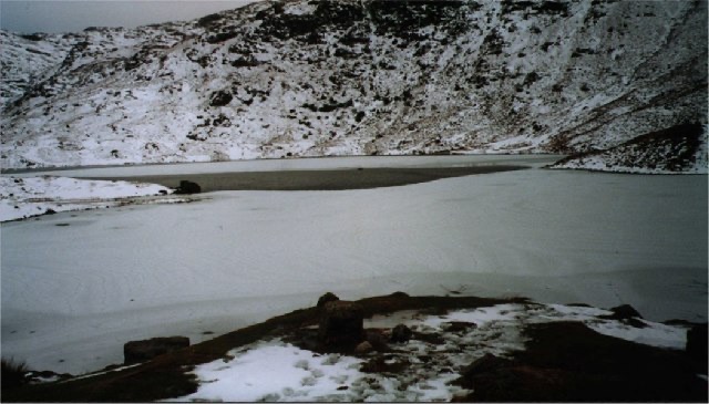 ModerateEasedale Tarn via Sourmilk Gill8.7 km · 3.3 hr · 1.1 km awayA lively waterfall climb to a quiet tarn beneath Tarn Crag
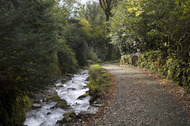 ModerateDig Dig Dig Audio Trail5.6 km · 2.5 hr · 1.4 km awayFollow a rushing gill to Elizabethan lead mine ruins above Grasmere
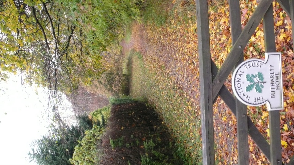 EasyGrasmere Jubilee Walk1.8 km · 1 hr · 1.4 km awayRiverside path, woodland climb and fell views in one village loop
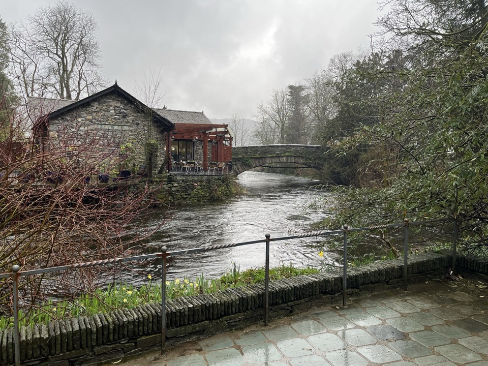 EasyGrasmere Riverside1.8 km · 1 hr · 1.4 km awayRiverside loop to Wordsworth's grave, level paths, an hour at easy pace
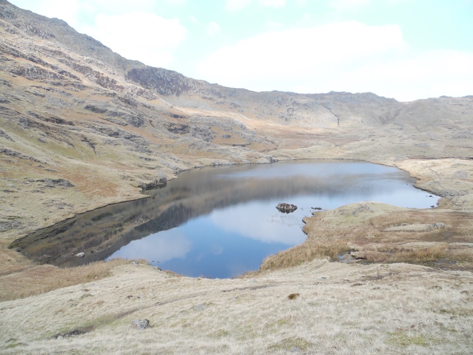 ChallengingEasedale Tarn, Codale Tarn and Tarn Crag13 km · 5.5 hr · 1.5 km awayTwo tarns, a rough scramble and a quiet ridge above Grasmere
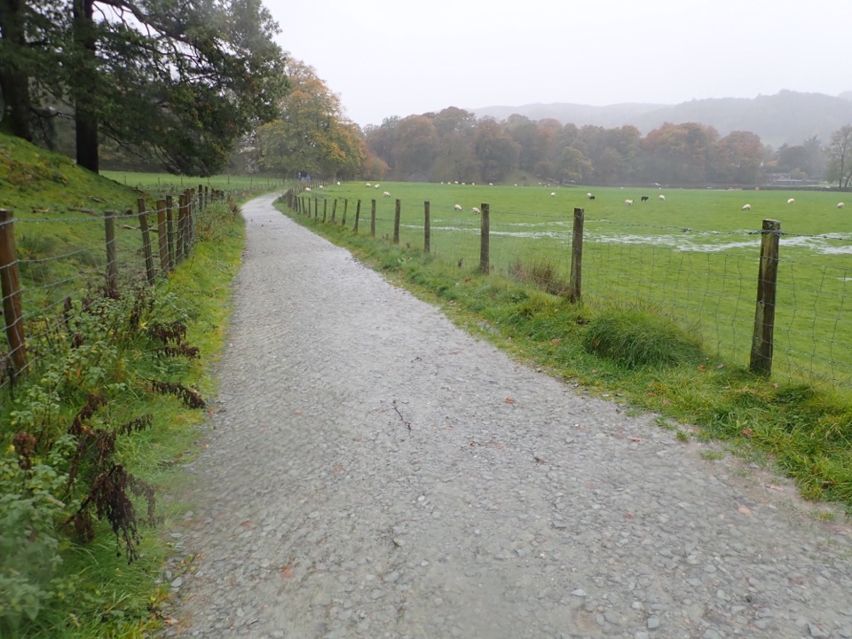 EasyGrasmere Trail8.7 km · 3 hr · 1.5 km awayLakeshore paths and woodland from Grasmere over to Ambleside, one way
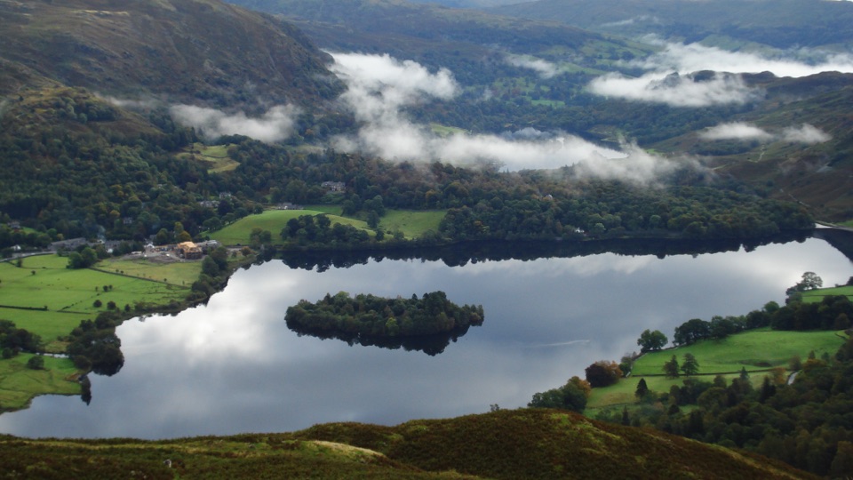 ModerateSilver How4.5 km · 2.3 hr · 1.6 km awayA short, steep climb to wide Grasmere and Langdale views
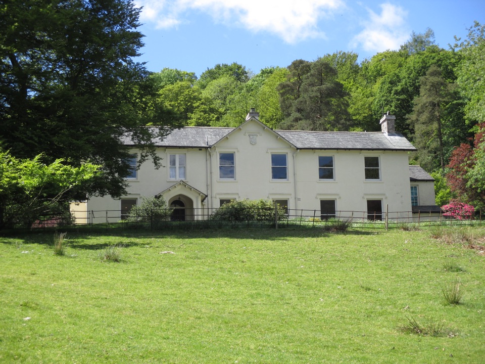 Sight · 1.5 km awayAllan BankWordsworth's villa pairs red squirrels with Grasmere views and woodland
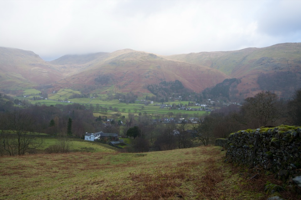 Sight · 1.6 km awayGrasmere VillageA slate-roofed fell village with Wordsworth, gingerbread, and walks
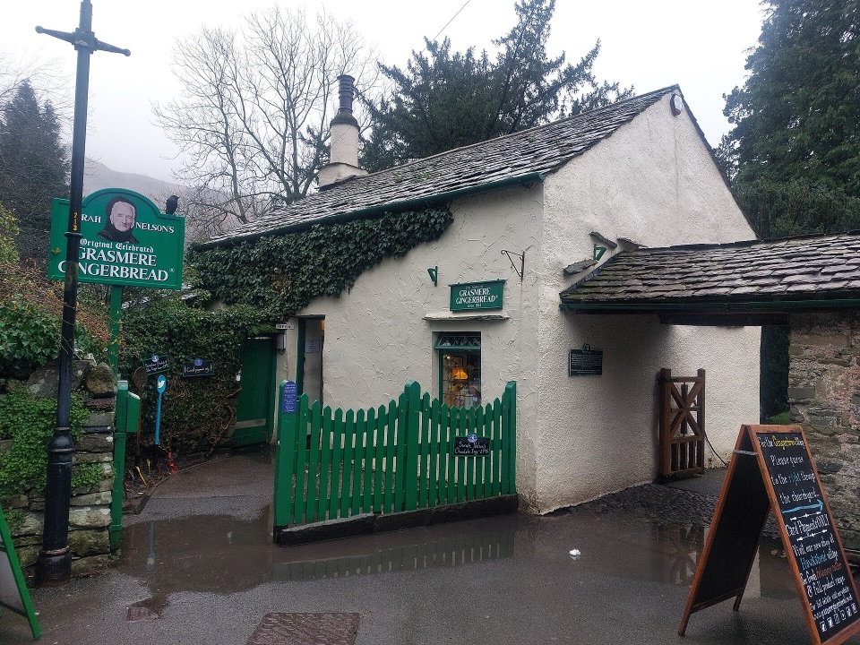 Store · 1.8 km awayGrasmere Gingerbread ShopA 1630 cottage where fresh gingerbread still draws a daily queue
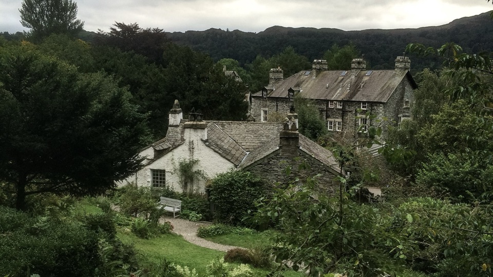 Sight · 2.2 km awayWordsworth GrasmereA poet's cottage, living garden, manuscripts, and wide valley views
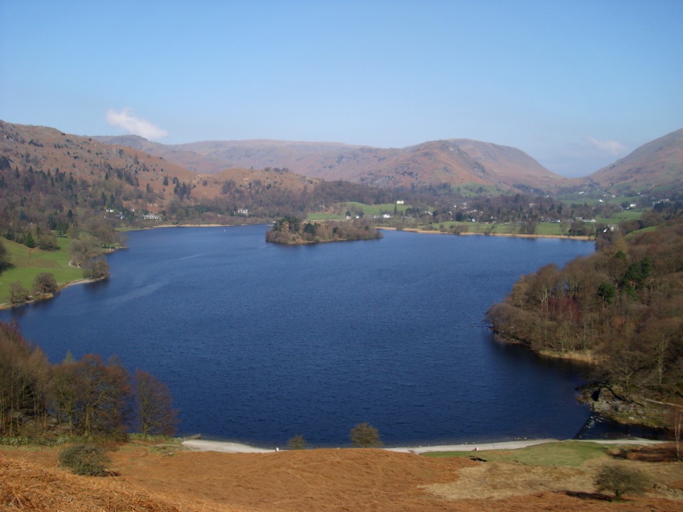 Sight · 2.7 km awayGrasmereA peaceful lake loop beneath the central Lake District fells
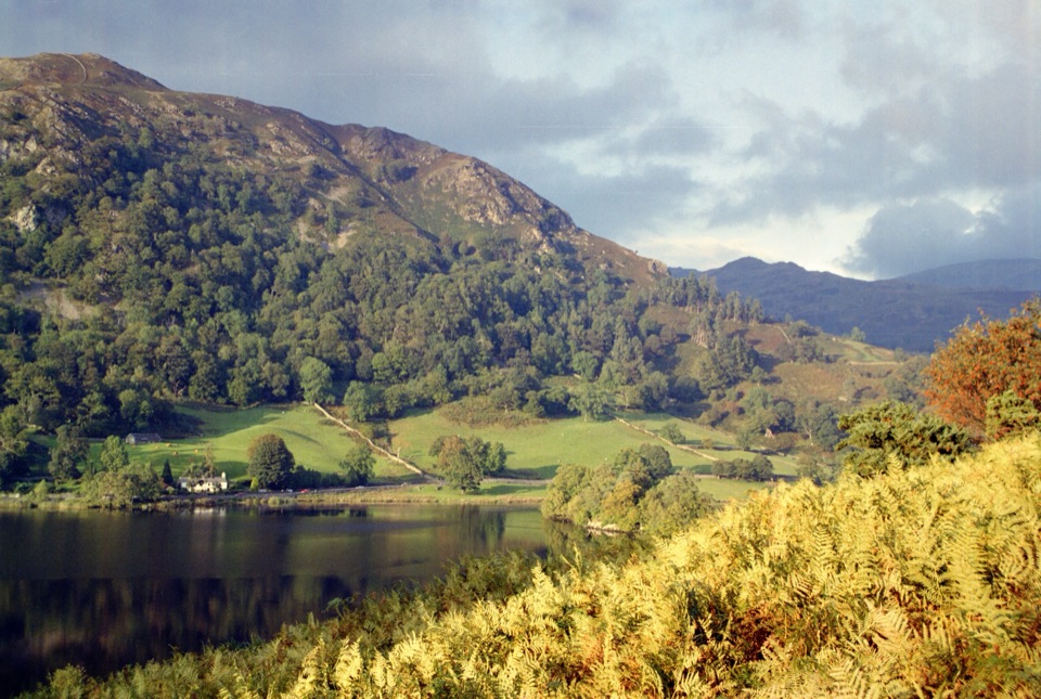 Sight · 3.6 km awayRydal WaterSmall lake, big reflections beneath Loughrigg Fell
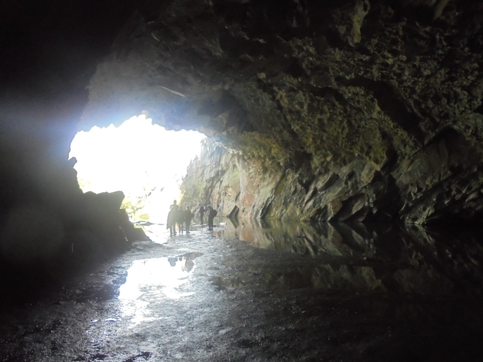 Sight · 3.9 km awayRydal CaveA former slate quarry opens onto water, stone, and fell views
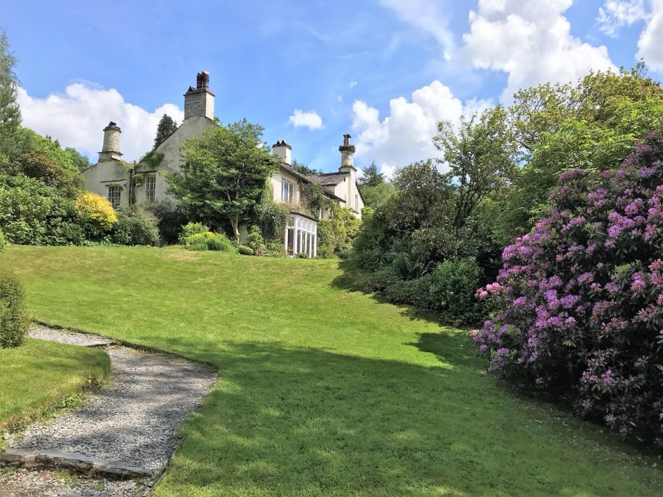 Sight · 4 km awayRydal MountWordsworth's final home, wrapped in five acres of garden and paths
Parkwolf’s Lake District ranking

The audio tour guide for the drive, plus offline maps, trails, and wildlife heatmaps for when the signal drops.





