Parking
Use Dodd Wood Pay on Exit car park (CA12 4QD, NY 235281), across the A591 from Mirehouse. Accessible public toilets and the Old Sawmill tearoom are at the car park. Buses X4 and 555 serve Mirehouse.
Lake District National Park, EN
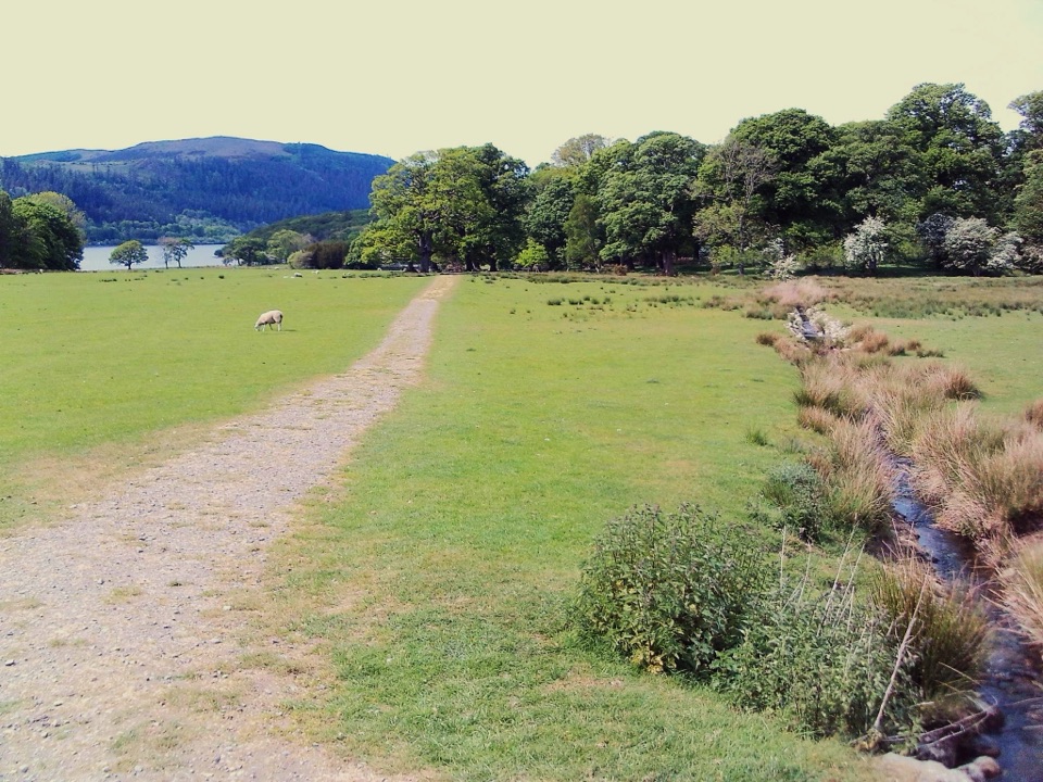
Meadow path to an ancient church with wide Bassenthwaite views
Overview
Map & elevation
Plan your hike

The highest, rockiest slopes around here are a summer buffet for grizzly bears.
Lake District Tour Guide
Parkwolf is a GPS audio tour guide for Lake District National Park. As you drive, it chimes in with what’s ahead: hidden gems, upcoming stops, history, geology, and wildlife, right through your car’s speakers.
Recorded for this trailhead
Dodd Wood and Bassenthwaite Views“You're drawing near Dodd Wood beside Bassenthwaite Lake, where you can choose a climb above the trees or a shorter walk among towering Douglas firs.”
Plays as you drive up to this trailhead in the Parkwolf Lake District Tour Guide.
More stories near here in the app
“Fantastic app with many points of information… It’s great to just turn on while you’re driving and it gives you an audio tour of the national Park. We love it!!!!”


Trail guide
This is a linear out-and-back of 1.55 miles / 2.5 km round trip, roughly 0.75 mi / 1.2 km each way, and you return by exactly the same path. Most walkers take about half an hour for the whole thing, longer if you linger at the church or the lake views.
Start at the Dodd Wood car park, drop steeply down a 1:10 gradient to the road, then cross the A591 with care. On the far side, take the gated public footpath to the left of the roadside cottage. Do not use the private driveway. From there the path passes Mirehouse and its grounds and drive, then follows undulating meadow and parkland to St Bega's Church before you retrace your steps.
St Bega's is an ancient, pre-Norman church standing alone in pasture. Inside are a 13th-century font and a large 14th-century cross. Outside, the ground opens across Bassenthwaite Lake toward Broom Fell and Lord's Seat, with Ullock Pike and Carlside on the other flank. It is a short walk with a genuinely memorable payoff.
Rated about 3/10 and easy for ordinary walkers, but graded For Many rather than For All because of the road crossing, a short grass verge and kerb, and the steep pull back up to the car park. Underfoot you get public footpath, estate drive and track, and undulating meadow. The meadow can be soft and estate paths muddy after heavy rain. Mobility scooters need to be class 2 or 3, and the fast road crossing plus the short verge and kerb are difficult for wheelchair users.
The walk described here follows a public right of way the whole way. Other, gentler paths inside the Mirehouse grounds are private and ticketed, so treat any garden walk as a separate paid visit rather than part of this route.
Park at Dodd Wood Pay on Exit car park (CA12 4QD, grid NY 235281), directly across the A591 from Mirehouse. There are accessible public toilets and the Old Sawmill tearoom at the car park. Buses X4 and 555 serve Mirehouse.
Dogs are welcome, and Mirehouse asks for a short lead at all times in the grounds. The route passes farmland, so keep your dog on the lead and give any livestock a wide berth. Red squirrels, roe deer, foxes, badgers and a good range of birds are possible in and around the grounds, though nothing is guaranteed.
Wildlife
 81 sightingsRed DeerMost seen around 7 PMSighting map
 13 sightingsEurasian OtterMost seen around 6 AMSighting map
 76 sightingsOspreyMost seen around 8 AMSighting map
 51 sightingsEuropean BadgerMost seen around 8 PMSighting map
 233 sightingsMute SwanMost seen around 6 PMSighting map
 176 sightingsGrey HeronMost seen around 7 AMSighting map
Sighting maps show where each species has been reported across Lake District. Wildlife moves, so no sighting is guaranteed.
Keep exploring
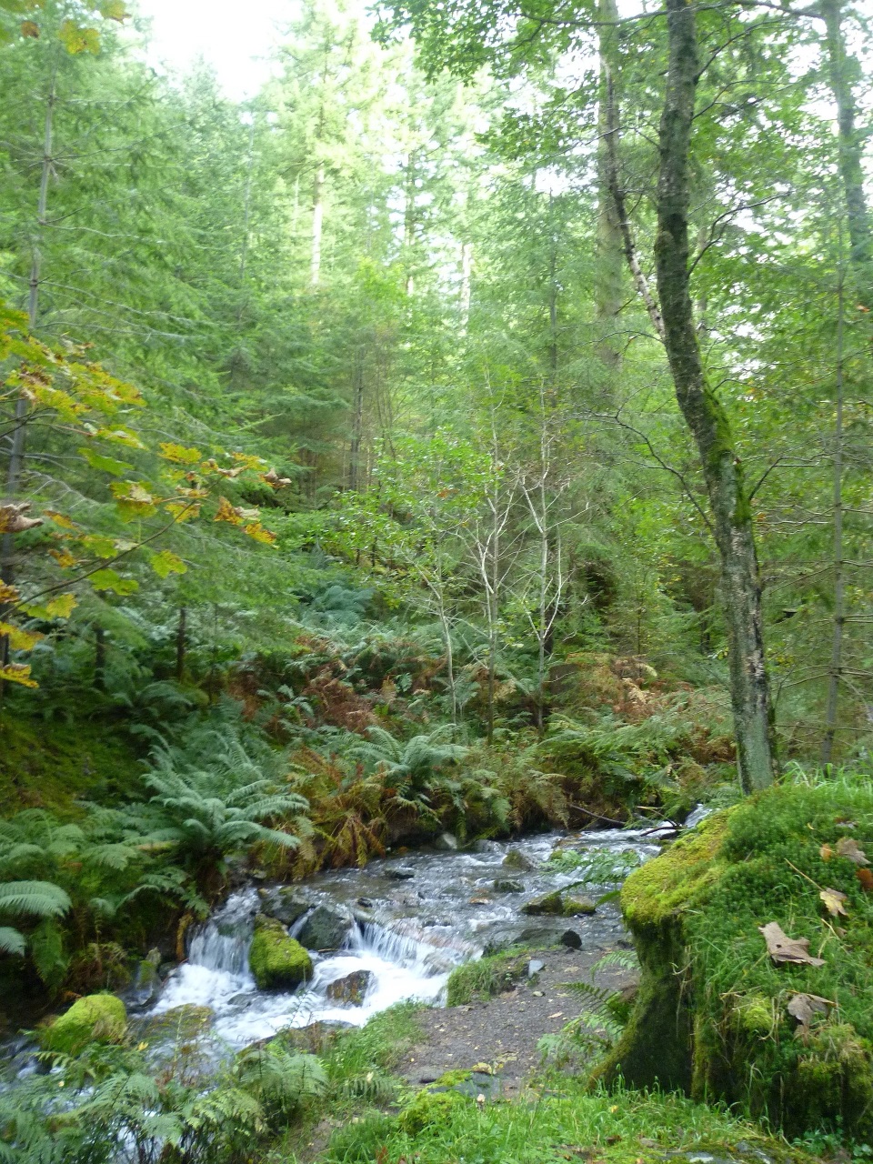 ModerateSkill Beck Trail at Dodd Wood2.4 km · 1.8 hr · At the trailheadA steep red-waymarked loop above Bassenthwaite Lake, back along Skill Beck
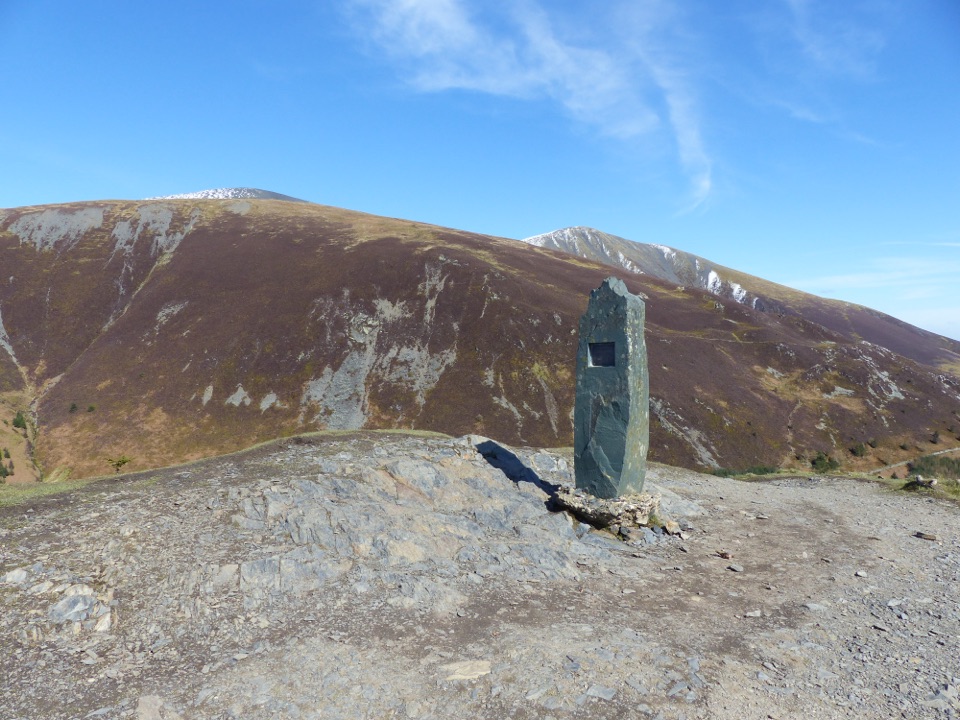 ChallengingDodd Summit Trail6.4 km · 3 hr · 0.1 km awaySteep forest climb to a 502 m fell summit with lake-and-coast views
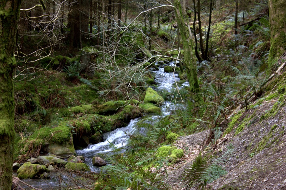 ModerateDouglas Fir Trail1.6 km · 45 min · 0.1 km awayA mile among towering Douglas firs on Dodd Wood's lower slopes
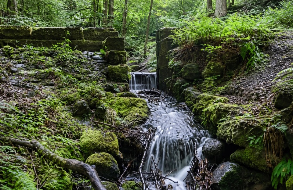 ModerateSandbed Gill Trail3.2 km · 48 min · 0.1 km awayMossy gill crossing and Bassenthwaite views on a short woodland loop
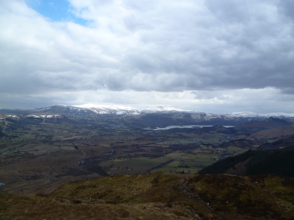 ModerateBarf, Lord's Seat, Ullister Hill and Seat How Loop8 km · 3.3 hr · 2.1 km awayFour summits, steep woodland, boggy tops, and a big Bassenthwaite view
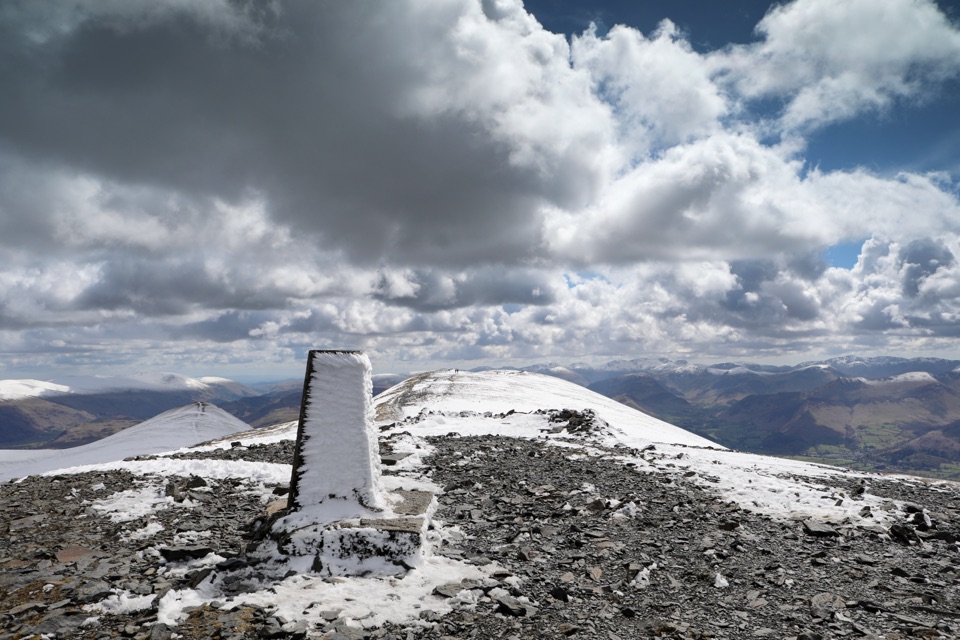 ChallengingSkiddaw via Longside Edge13.4 km · 6 hr · 2.9 km awayWindswept ridge, rough mountain paths, and a hard-earned Skiddaw summit
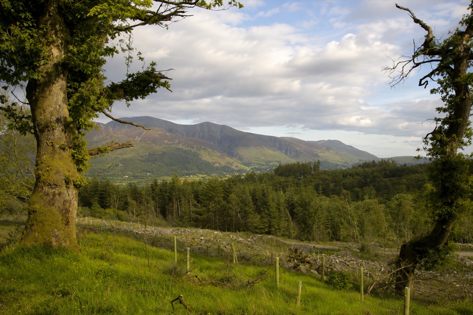 ModerateHeavy Sides Trail2.4 km · 1 hr · 3.8 km awayA short, steep woodland climb to Skiddaw and Bassenthwaite views
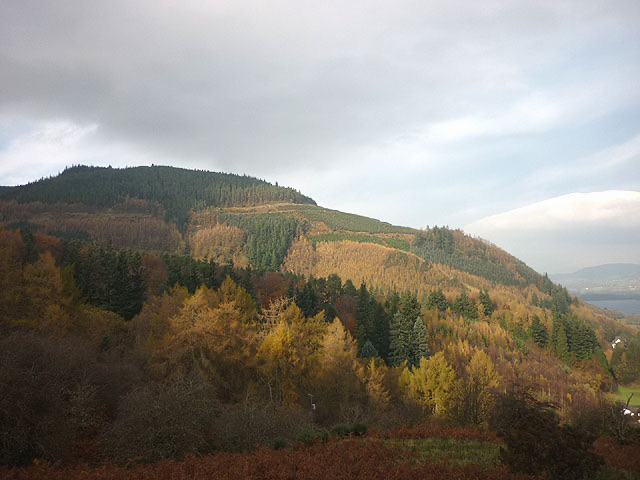 EasyMasmill Beck Trail2 km · 45 min · 3.8 km awayShort ancient-oak loop with a Bassenthwaite Lake view on the return
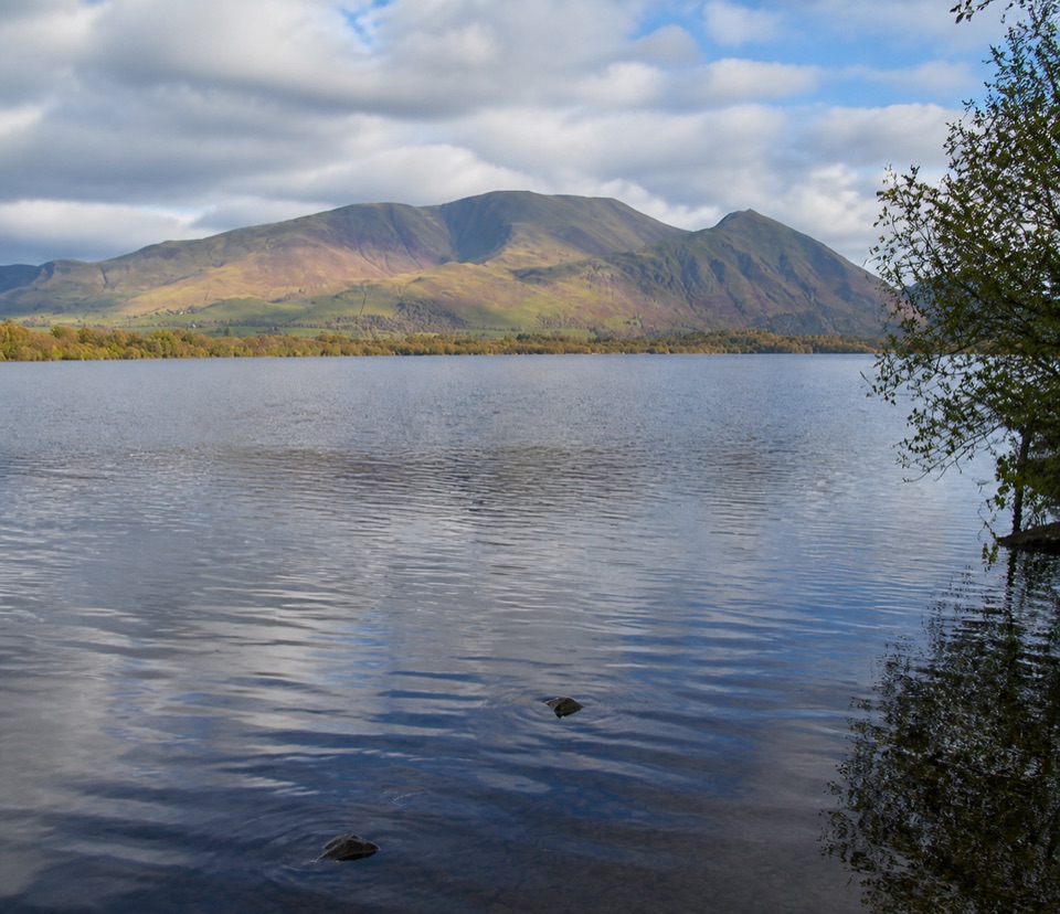 Sight · 2.2 km awayBassenthwaite LakeA quiet wildlife-rich lake beneath Skiddaw
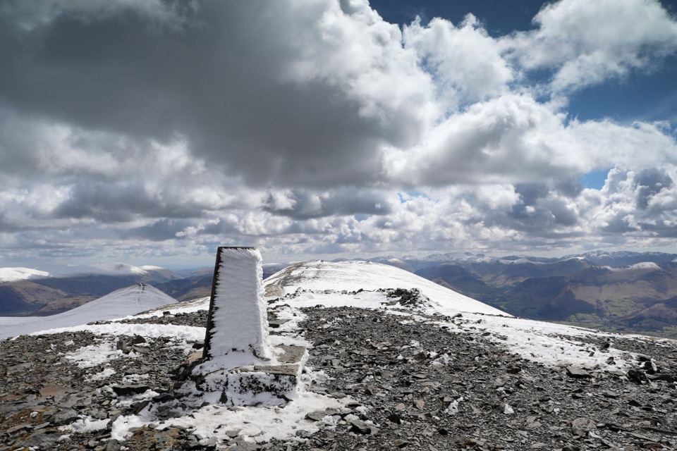 Sight · 2.7 km awaySkiddawA broad, windswept summit with huge views over the northern Lakes
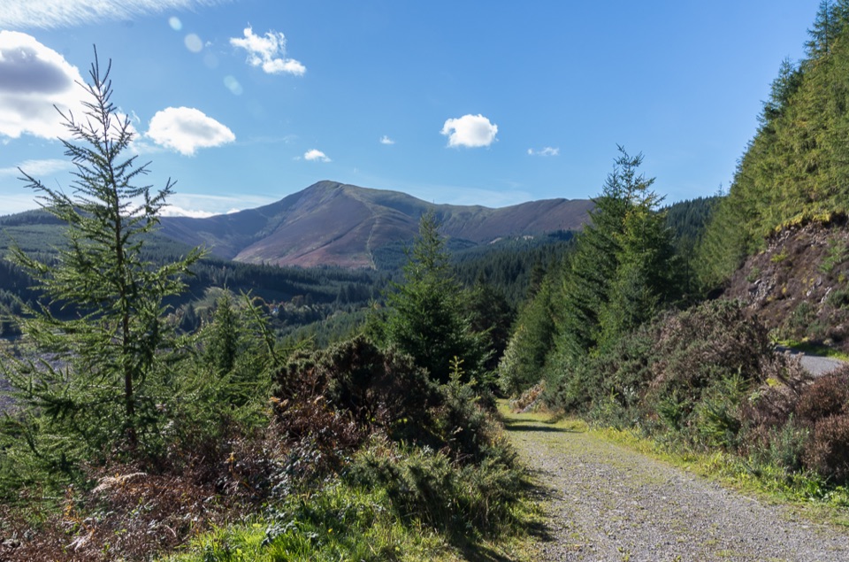 Sight · 4.5 km awayWhinlatter ForestMountain trails, big fell views, and family paths in a working forest
 Sight · 5.6 km awayKeswickA lively market town framed by Derwentwater and mountain walks
 Sight · 6.5 km awayFriar's CragA level lakeside path to Keswick's classic Derwentwater view
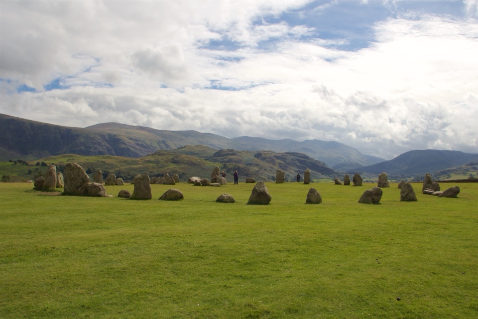 Sight · 7.1 km awayCastlerigg Stone CircleA 4,500-year-old stone ring with a grand mountain backdrop
 Sight · 7.5 km awayDerwentwaterA mountain lake with islands, wooded shores, and classic fell views
 Sight · 8.3 km awayCat BellsA short rocky climb to a huge Derwentwater panorama
Parkwolf’s Lake District ranking

The audio tour guide for the drive, plus offline maps, trails, and wildlife heatmaps for when the signal drops.





