Parking
Start at Dodd Wood car park, CA12 4QE, just off the A591 near Keswick. Parking is pay on exit using automatic number plate recognition.
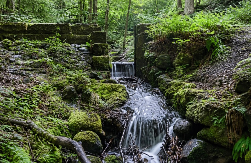
Lake District National Park, EN
Mossy gill crossing and Bassenthwaite views on a short woodland loop
Overview
The narrow, uneven and sometimes wet sections mean this route is not recommended for wheelchairs or all-terrain mobility scooters.
 Parkwolf’s verdictWorth knowing
Map & elevation
Plan your hike

The highest, rockiest slopes around here are a summer buffet for grizzly bears.
Lake District Tour Guide
Parkwolf is a GPS audio tour guide for Lake District National Park. As you drive, it chimes in with what’s ahead: hidden gems, upcoming stops, history, geology, and wildlife, right through your car’s speakers.
Recorded for this trailhead
Dodd Wood and Bassenthwaite Views“You're drawing near Dodd Wood beside Bassenthwaite Lake, where you can choose a climb above the trees or a shorter walk among towering Douglas firs.”
Plays as you drive up to this trailhead in the Parkwolf Lake District Tour Guide.
More stories near here in the app
“Fantastic app with many points of information… It’s great to just turn on while you’re driving and it gives you an audio tour of the national Park. We love it!!!!”


Trail guide
A circular loop of 3.25 km (2 miles) that starts and finishes at the Dodd Wood car park. Reckon on around 86 m of climbing and roughly 45 to 50 minutes of walking, longer if you stop at the viewpoints.
From the car park the yellow waymarkers lead north through a mix of conifer and broadleaved woodland, then bring you across Sandbed Gill, the quiet highlight of the route. Beyond the crossing the trees open up enough for views toward the northern end of Bassenthwaite Lake, and the return leg drops back through semi-natural and mixed woodland to where you started.
Easy to moderate for a short walk. The surface is a mixture of forest roads and surfaced footpaths, but sections are steep, narrow and uneven, and the ground near the gill can stay damp underfoot. Wear shoes with grip rather than anything you mind getting muddy.
All Dodd Wood trails begin at the Dodd Wood car park, CA12 4QE, just off the A591 near Keswick. Parking is pay on exit using automatic number plate recognition, so you drive in, walk, and settle up on the way out.
The appeal here is close-up woodland rather than big open fells: moss and ferns crowding the stream, tall conifers, and glimpses of the lake through the trees. Red squirrels live in these woods, and Bassenthwaite is known for its ospreys, so keep your eyes up and your voice down. Neither is guaranteed on any given visit.
Dogs are welcome on the route and should be kept under control throughout, in line with the forest code.
Wildlife
 81 sightingsRed DeerMost seen around 7 PMSighting map
 13 sightingsEurasian OtterMost seen around 6 AMSighting map
 76 sightingsOspreyMost seen around 8 AMSighting map
 51 sightingsEuropean BadgerMost seen around 8 PMSighting map
 233 sightingsMute SwanMost seen around 6 PMSighting map
 176 sightingsGrey HeronMost seen around 7 AMSighting map
Sighting maps show where each species has been reported across Lake District. Wildlife moves, so no sighting is guaranteed.
Keep exploring
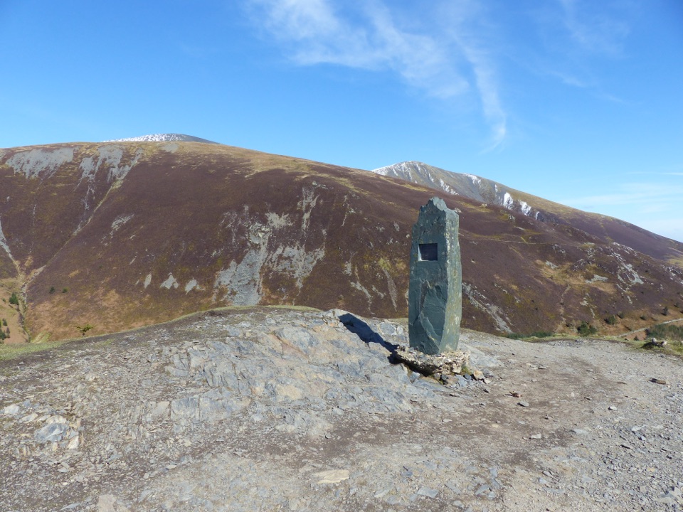 ChallengingDodd Summit Trail6.4 km · 3 hr · At the trailheadSteep forest climb to a 502 m fell summit with lake-and-coast views
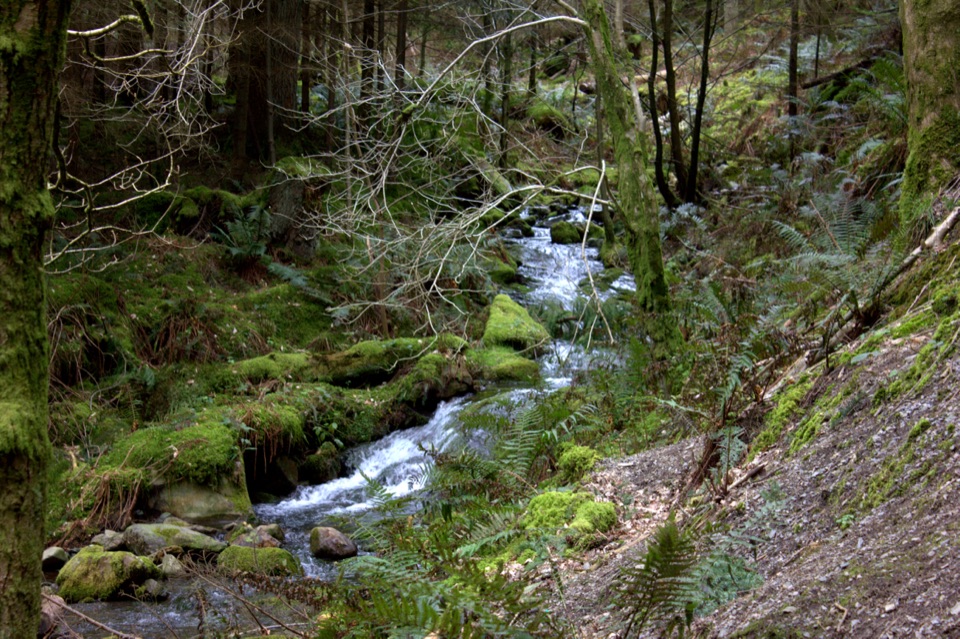 ModerateDouglas Fir Trail1.6 km · 45 min · At the trailheadA mile among towering Douglas firs on Dodd Wood's lower slopes
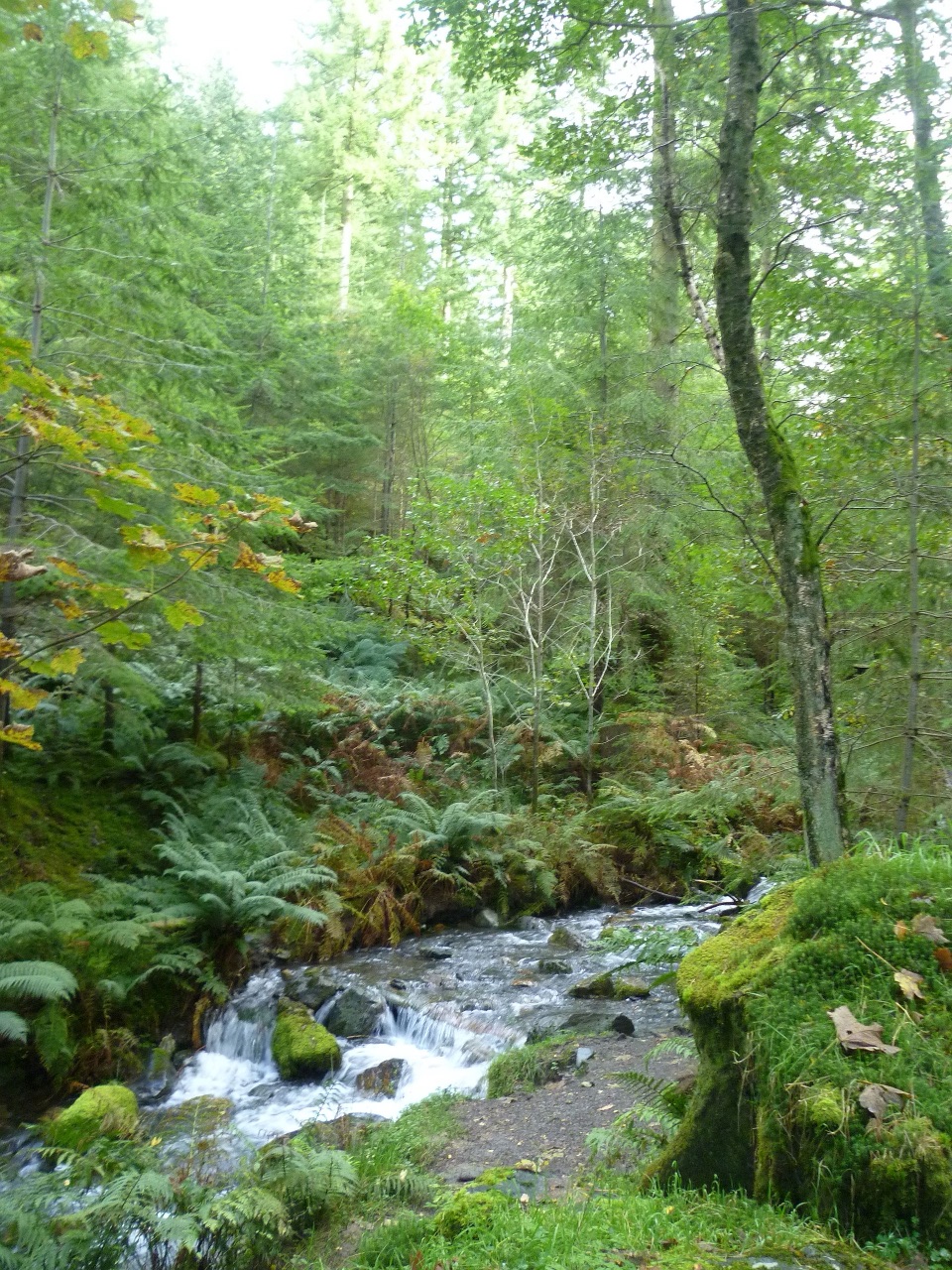 ModerateSkill Beck Trail at Dodd Wood2.4 km · 1.8 hr · At the trailheadA steep red-waymarked loop above Bassenthwaite Lake, back along Skill Beck
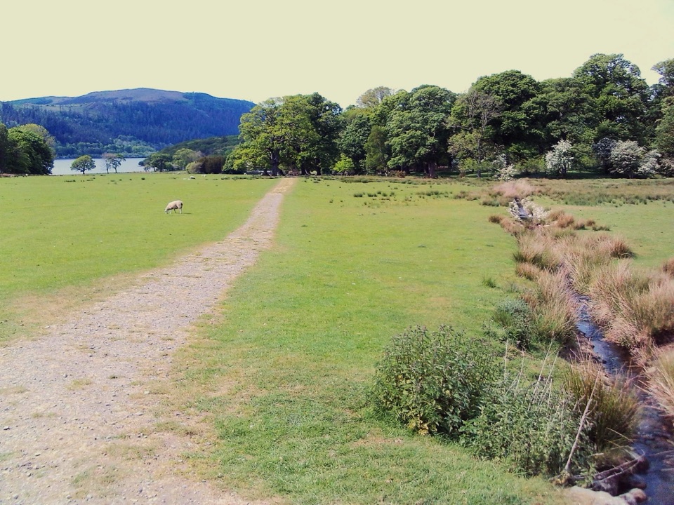 EasyMirehouse to St. Bega's Church2.5 km · 30 min · 0.1 km awayMeadow path to an ancient church with wide Bassenthwaite views
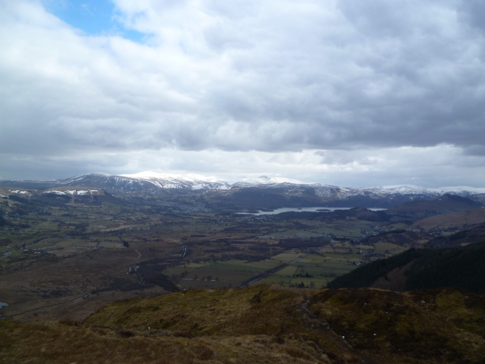 ModerateBarf, Lord's Seat, Ullister Hill and Seat How Loop8 km · 3.3 hr · 2.2 km awayFour summits, steep woodland, boggy tops, and a big Bassenthwaite view
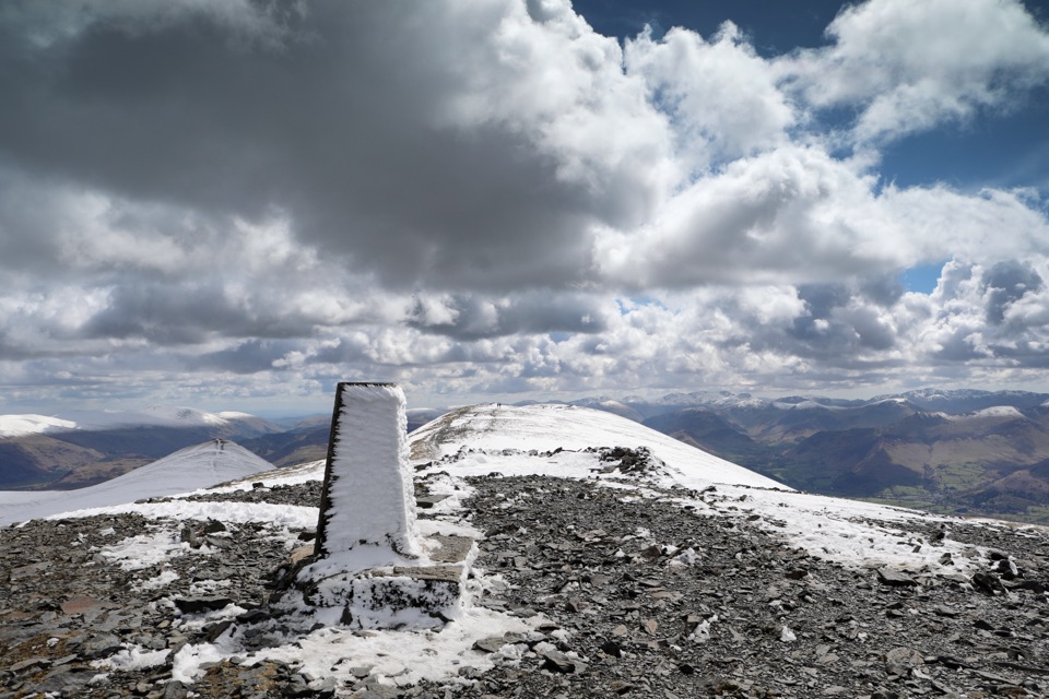 ChallengingSkiddaw via Longside Edge13.4 km · 6 hr · 2.8 km awayWindswept ridge, rough mountain paths, and a hard-earned Skiddaw summit
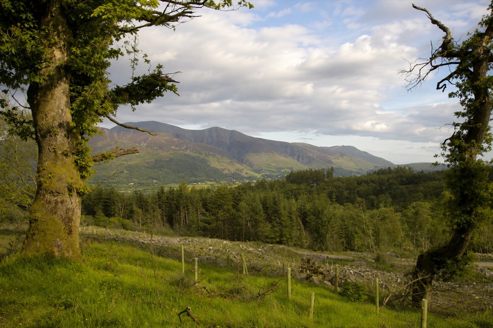 ModerateHeavy Sides Trail2.4 km · 1 hr · 3.9 km awayA short, steep woodland climb to Skiddaw and Bassenthwaite views
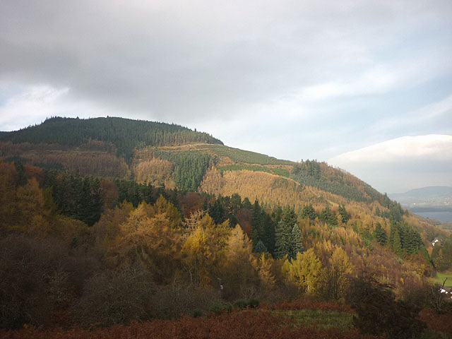 EasyMasmill Beck Trail2 km · 45 min · 3.9 km awayShort ancient-oak loop with a Bassenthwaite Lake view on the return
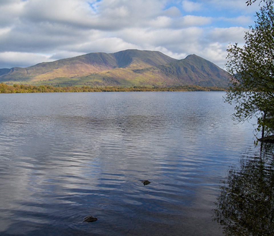 Sight · 2.2 km awayBassenthwaite LakeA quiet wildlife-rich lake beneath Skiddaw
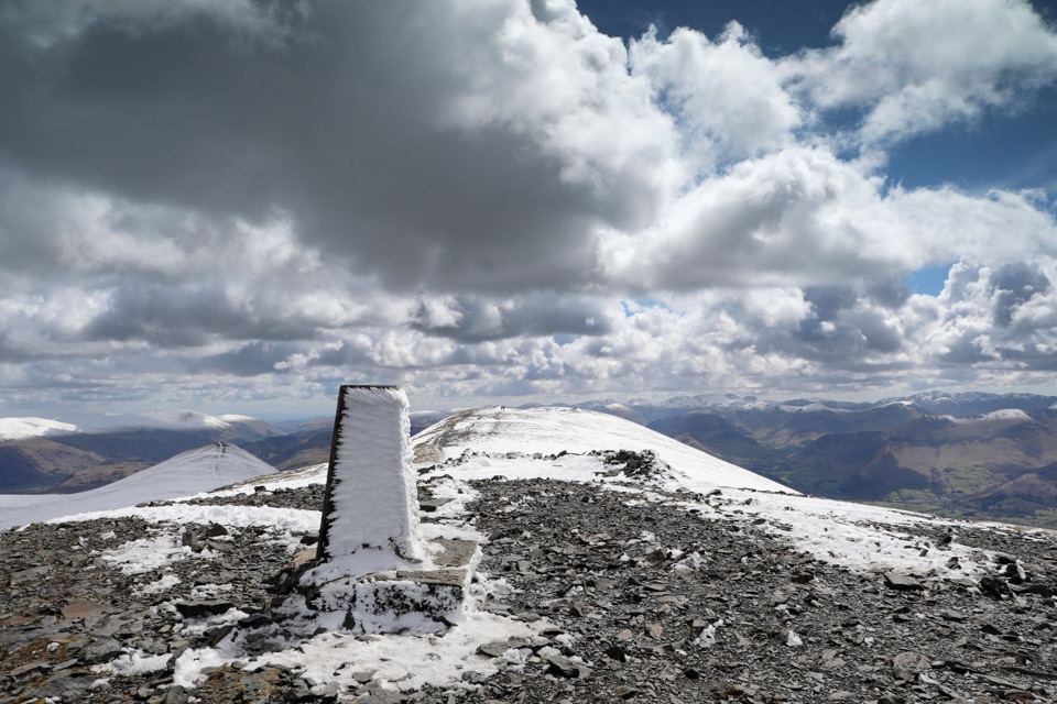 Sight · 2.7 km awaySkiddawA broad, windswept summit with huge views over the northern Lakes
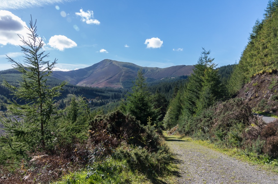 Sight · 4.5 km awayWhinlatter ForestMountain trails, big fell views, and family paths in a working forest
 Sight · 5.6 km awayKeswickA lively market town framed by Derwentwater and mountain walks
 Sight · 6.6 km awayFriar's CragA level lakeside path to Keswick's classic Derwentwater view
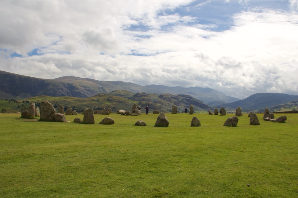 Sight · 7.2 km awayCastlerigg Stone CircleA 4,500-year-old stone ring with a grand mountain backdrop
 Sight · 7.6 km awayDerwentwaterA mountain lake with islands, wooded shores, and classic fell views
 Sight · 8.4 km awayCat BellsA short rocky climb to a huge Derwentwater panorama
Parkwolf’s Lake District ranking
The audio tour guide for the drive, plus offline maps, trails, and wildlife heatmaps for when the signal drops.





