Parking
Start at Staveley Mill Yard, LA8 9LN. This named visitor and business access has on-site parking and a recurring charge system; follow the on-site or online setup when you arrive. Do not rely on village street parking.
Lake District National Park, EN
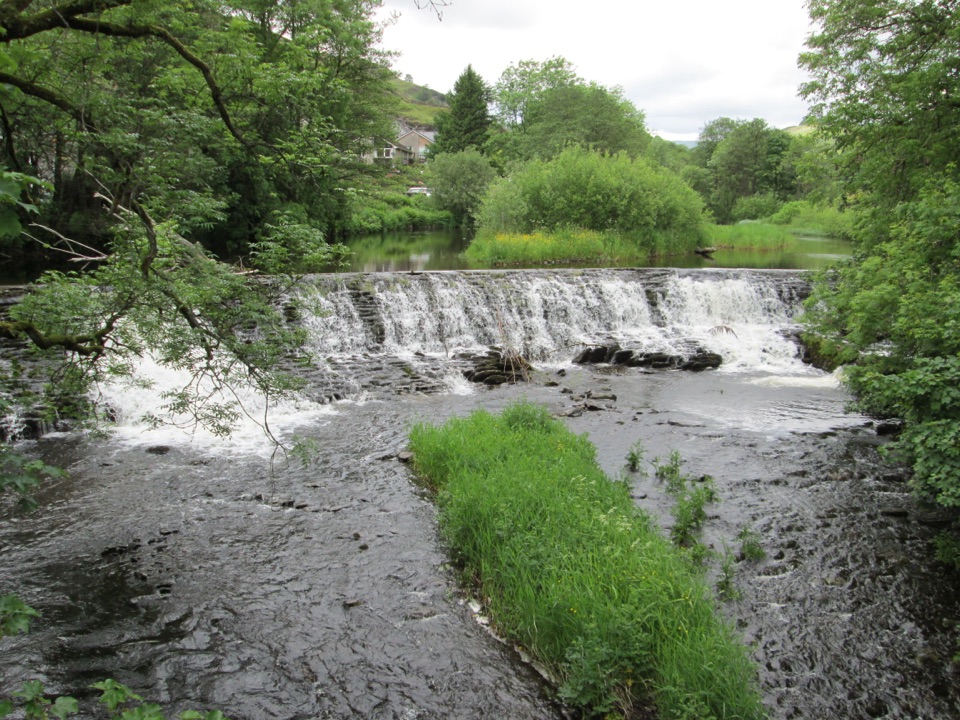
Level riverside mile past an 1853 weir, dippers and mill history
Overview
Map & elevation
Plan your hike

The highest, rockiest slopes around here are a summer buffet for grizzly bears.
Lake District Tour Guide
Parkwolf is a GPS audio tour guide for Lake District National Park. As you drive, it chimes in with what’s ahead: hidden gems, upcoming stops, history, geology, and wildlife, right through your car’s speakers.
Recorded for this trailhead
Staveley: A Short Riverside Loop“You're nearing Staveley, where the riverside walk packs a weir, birdwatching and old mill buildings into a gentle half-hour loop.”
Plays as you drive up to this trailhead in the Parkwolf Lake District Tour Guide.
More stories near here in the app
“Fantastic app with many points of information… It’s great to just turn on while you’re driving and it gives you an audio tour of the national Park. We love it!!!!”


Trail guide
This is a circular loop, and 0.93 miles / 1.49 km is the complete route, usually done in about half an hour. It is flat, stile free, and stays between roughly 97 and 106 metres, so the effort is negligible and the interest is all in the water, the birds and the old mill buildings.
Start at Staveley Mill Yard. The footbridge over the River Kent can be reached either through the Mill Yard itself or from Main Street by St Margaret's Chapel. Cross the bridge, turn left and pass the 1853 weir, then follow the river upstream to a minor road. Continue along that to Barley Bridge, turn left, and left again through the village, returning to your start along Back Lane. It is a simple shape and hard to lose.
For a walk this short, the payoff is generous: the River Kent at close quarters, the weir with its steady wall of white water, and views opening toward the Kentmere Valley. Kingfishers and dippers both use this stretch, so it rewards patience more than pace. The mill on the site dates from around 1825, built for bobbins and reels, and the industrial past still shapes the buildings and the river channel.
Graded for all: very easy, level, and with no stiles, using a wide gate rather than an awkward squeeze. The surface is a level riverside path, then a minor tarmac road and village streets. It suits pushchairs and wheelchairs, and class 2 or 3 mobility scooters can manage it.
Facilities are unusually good for such a small walk. The Mill Yard has a cafe, a pub and toilets, and there are free accessible toilets with baby changing beside the Abbey Square bus stop. The 555 bus serves the village, and there is a railway station, though it has two flights of steps.
The one thing to take seriously here is the river. The Kent is fast flowing, and the water is deeper near the weir. After sustained rain the flow rises and the risk with it, particularly for children who want a closer look and dogs who fancy a swim. Keep well back from the weir lip and the bank edges when the river is up, and treat the whole stretch as water to admire rather than paddle in.
Parking is on site at Staveley Mill Yard, which operates a recurring charge system, so check the arrangements when you arrive. Dogs are welcome on this ordinary public route, kept under close control or on a short lead, especially around other people, riverside wildlife and any livestock on the village edges.
If you want more distance, there are longer walks along the River Kent and up toward Craggy Wood, but those are separate outings with their own character rather than extensions of this loop. Taken on its own terms, this is a satisfying short circuit that packs river, heritage and valley views into under a mile.
Wildlife
 81 sightingsRed DeerMost seen around 7 PMSighting map
 13 sightingsEurasian OtterMost seen around 6 AMSighting map
 76 sightingsOspreyMost seen around 8 AMSighting map
 51 sightingsEuropean BadgerMost seen around 8 PMSighting map
 233 sightingsMute SwanMost seen around 6 PMSighting map
 176 sightingsGrey HeronMost seen around 7 AMSighting map
Sighting maps show where each species has been reported across Lake District. Wildlife moves, so no sighting is guaranteed.
Keep exploring
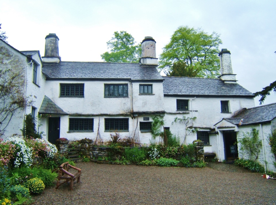 ModerateWindermere to Townend Walk12.9 km · 4.5 hr · 5.7 km awayFell views, a 17th-century farmhouse, and reservoir tracks on a full loop
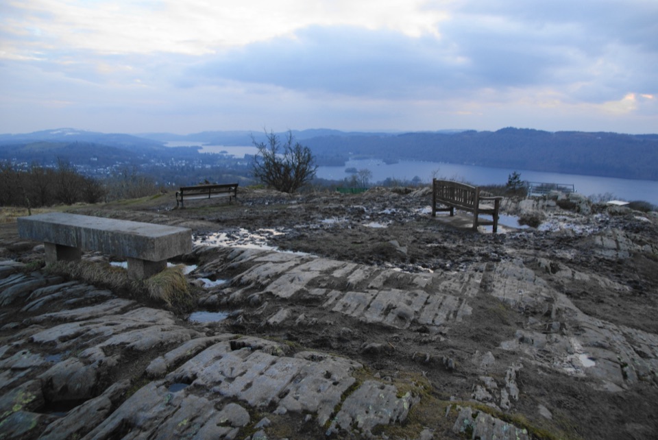 EasyOrrest Head3.5 km · 1.5 hr · 5.9 km awayShort accessible climb to a 360-degree lake and fells panorama
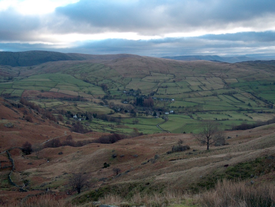 ChallengingThe Kentmere Horseshoe20.6 km · 8 hr · 6.1 km awayEight Wainwright summits ringing a quiet valley on one long ridge day
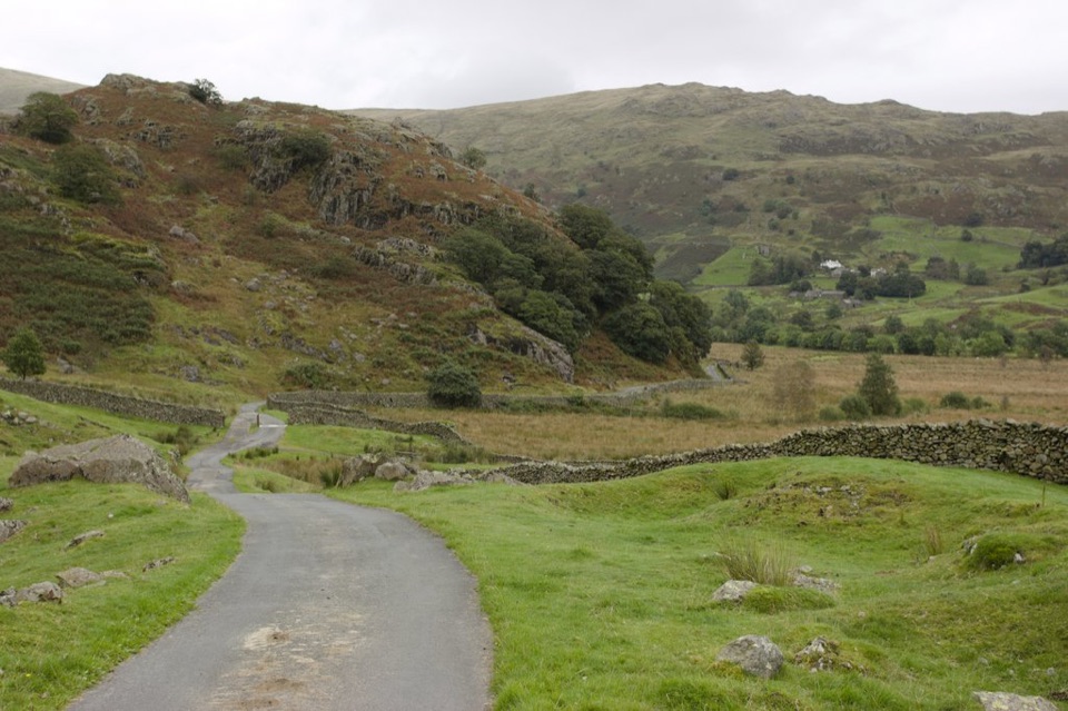 EasyKentmere4.7 km · 2 hr · 6.1 km awaySurfaced lane into the upper Kentmere valley below Horseshoe fells
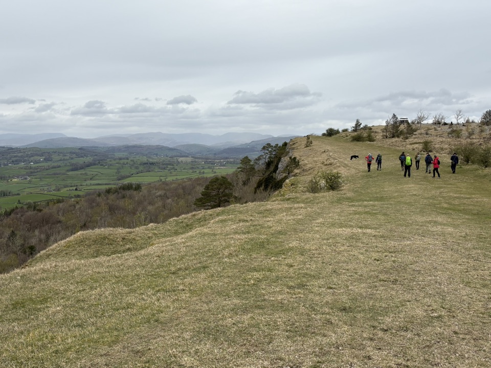 ModerateScout Scar1.8 km · 30 min · 6.1 km awayShort steep climb to a limestone rim with wide fell views
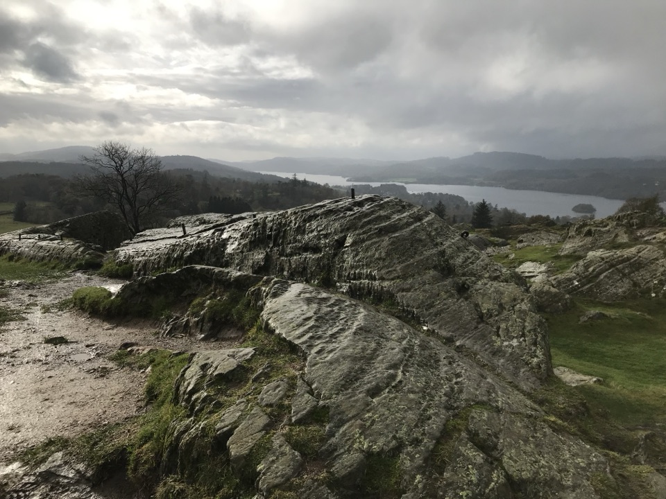 ModerateBrant Fell above Bowness-on-Windermere3.4 km · 1.8 hr · 6.9 km awayA steep 2.1 mile loop from Bowness to big Windermere views
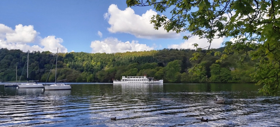 EasyBowness to Cockshott Point1.8 km · 1 hr · 7.2 km awayMostly level lakeshore loop with Belle Isle views, one short steep climb
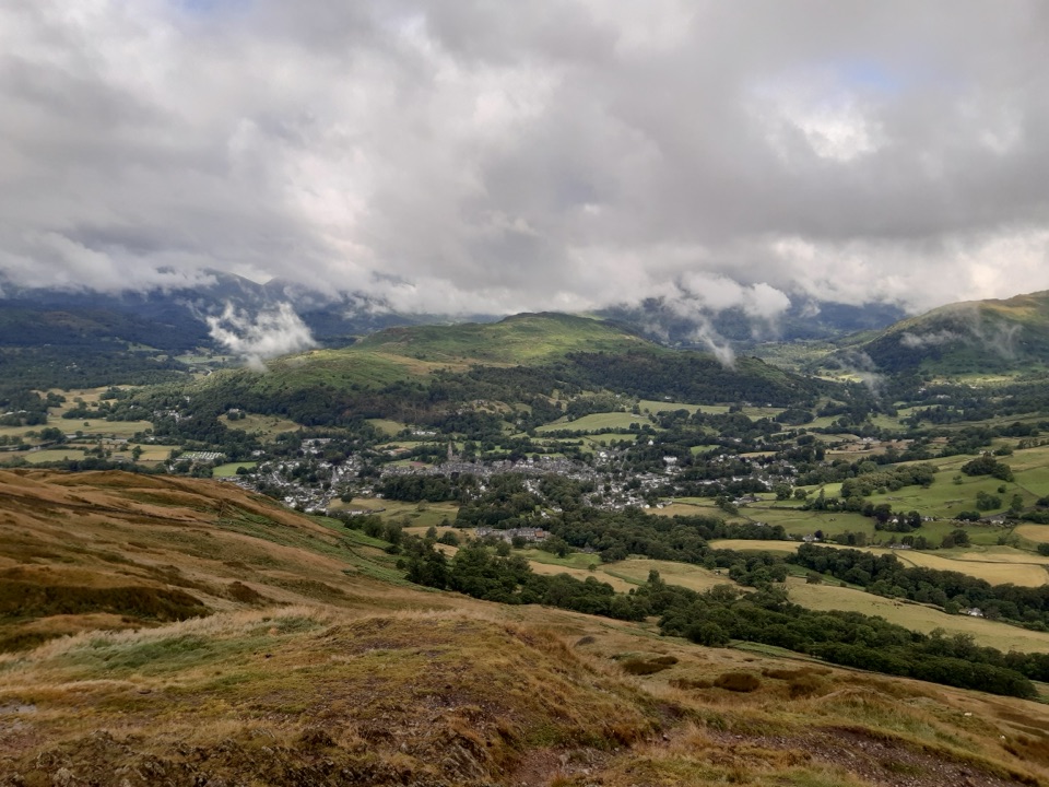 ModerateWansfell Pike and Troutbeck10.1 km · 4 hr · 7.4 km awayHistoric hamlet lanes, a stiff fell climb, wide Windermere viewsSight · 5.8 km awayOrrest HeadA short climb to Windermere's classic lake-and-fell panorama
 Sight · 6.9 km awayThe World of Beatrix Potter AttractionWalk through Beatrix Potter's stories in detailed 3D scenes
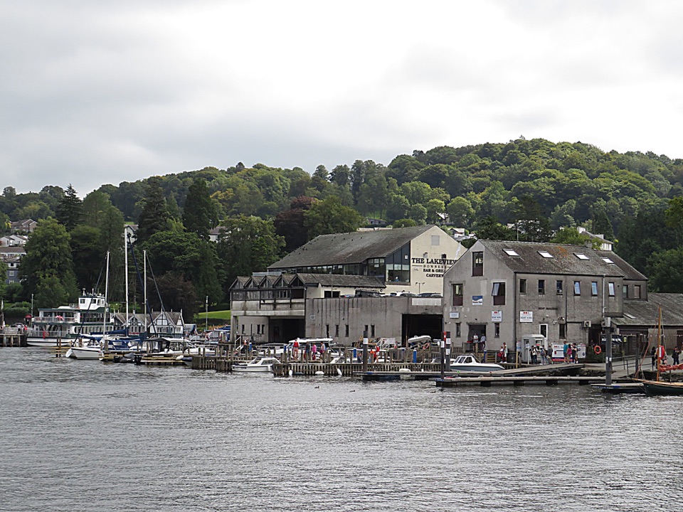 Sight · 6.9 km awayBowness-on-WindermereA lively lakefront town and launch point for Windermere
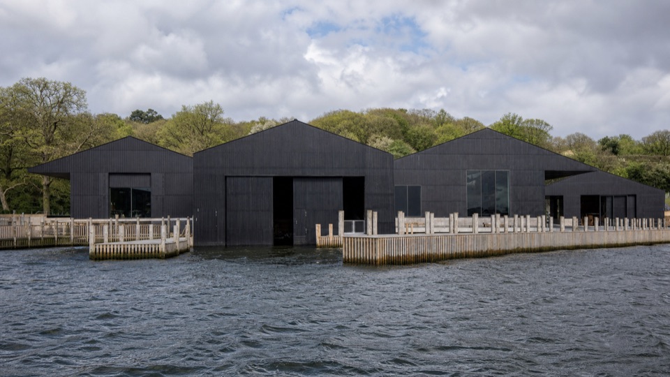 Sight · 6.9 km awayWindermere Jetty MuseumA lakeside museum where Windermere's boats come vividly to life
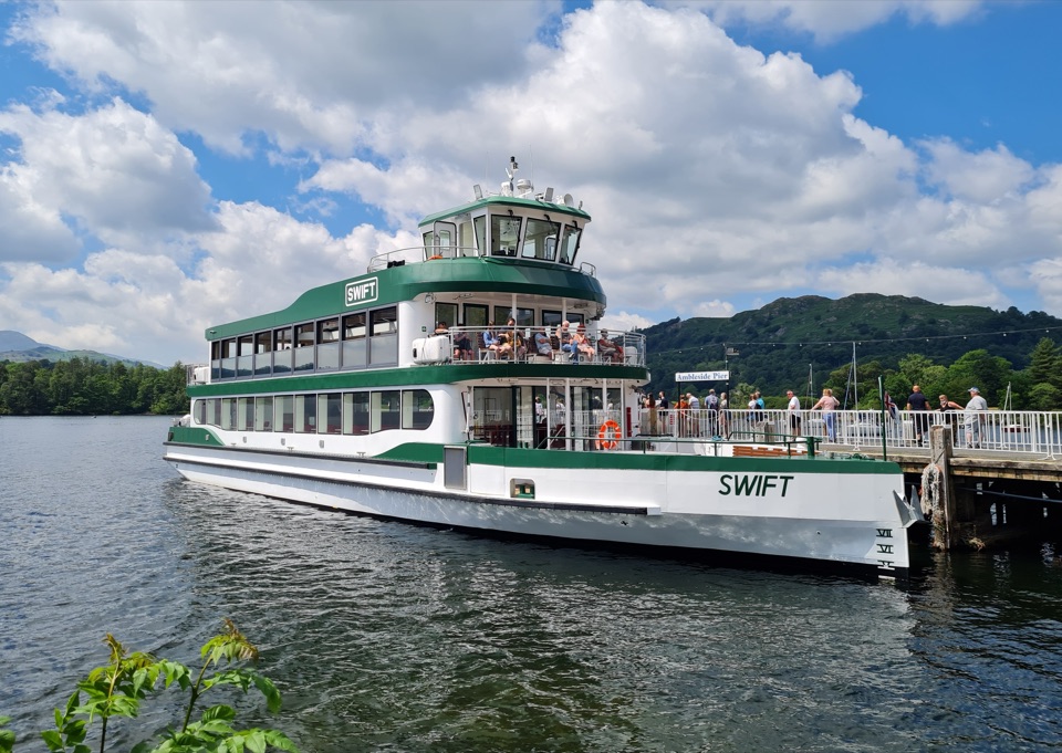 Sight · 7.2 km awayWindermere Lake CruisesClassic cruises turn Windermere into a day-long mountain panorama
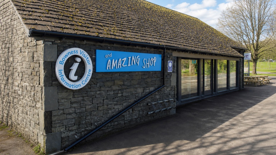 Visitor center · 7.2 km awayBowness on Windermere Information Centre and CaféThe practical lakefront base for Windermere maps, trips, and walks
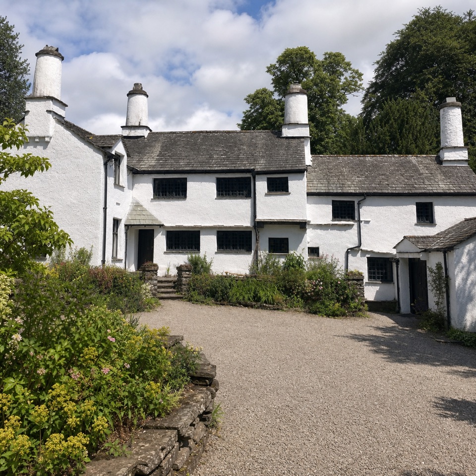 Sight · 7.6 km awayTownendA lived-in farmhouse where 400 years of Browne family life remain.
 Sight · 8 km awayWindermereEngland's longest lake, lined with wooded shores and mountain views
Parkwolf’s Lake District ranking

The audio tour guide for the drive, plus offline maps, trails, and wildlife heatmaps for when the signal drops.





