Parking
Start at the small parking area beside Kentmere Village Hall, also called Kentmere Institute, opposite St Cuthbert's Church. Parking is limited by the church and Institute. Do not park at Hartrigg Farm or the route's upper gateway.
Lake District National Park, EN
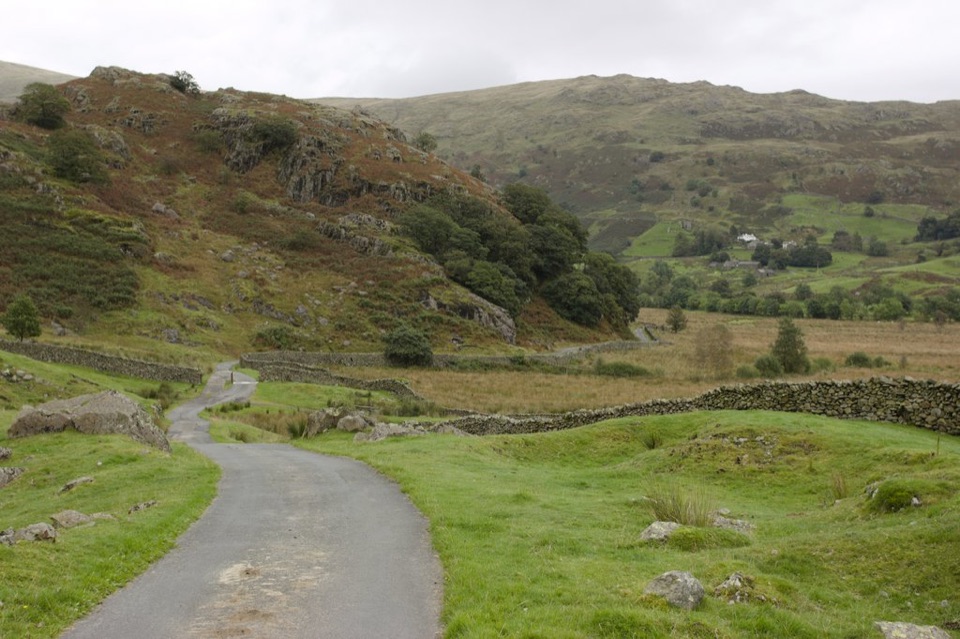
Surfaced lane into the upper Kentmere valley below Horseshoe fells
Overview
Map & elevation
Plan your hike

The highest, rockiest slopes around here are a summer buffet for grizzly bears.
Lake District Tour Guide
Parkwolf is a GPS audio tour guide for Lake District National Park. As you drive, it chimes in with what’s ahead: hidden gems, upcoming stops, history, geology, and wildlife, right through your car’s speakers.
Recorded for this trailhead
Kentmere: Valley Walk or Horseshoe“You're approaching Kentmere village, where you can choose between a walk into the valley and a full day on the ridges above it.”
Plays as you drive up to this trailhead in the Parkwolf Lake District Tour Guide.
More stories near here in the app
“Fantastic app with many points of information… It’s great to just turn on while you’re driving and it gives you an audio tour of the national Park. We love it!!!!”


Trail guide
A linear out-and-back on a surfaced lane into the upper Kentmere valley. The 2.89 miles (4.65 km) is the full round trip, out to Hartrigg Farm and back the same way, and most people take about 2 hours at an unhurried pace.
Start from the small parking area beside Kentmere Village Hall (Kentmere Institute), opposite St Cuthbert's Church. The lane climbs away from the village, then levels out after roughly 200 metres and runs north with the valley opening ahead. The turn point is the end of the tarmac at Hartrigg Farm, where the fells close in around you. Retrace the lane back to the village.
The valley walls rise in craggy slopes, with the ridgeline of the Kentmere Horseshoe peaks above. Watch for buzzards, ravens and peregrine falcons working the crags and updraughts.
Dogs are welcome on this public route. Keep them under close control, and on a lead where livestock is present, since the lane passes working farmland.
The Kentmere Horseshoe is the long, steep ridge circuit from the same village, a full mountain day on rough ground. It shares the starting point but has nothing in common with this route in terms of effort or terrain.
Wildlife
 81 sightingsRed DeerMost seen around 7 PMSighting map
 13 sightingsEurasian OtterMost seen around 6 AMSighting map
 76 sightingsOspreyMost seen around 8 AMSighting map
 51 sightingsEuropean BadgerMost seen around 8 PMSighting map
 233 sightingsMute SwanMost seen around 6 PMSighting map
 176 sightingsGrey HeronMost seen around 7 AMSighting map
Sighting maps show where each species has been reported across Lake District. Wildlife moves, so no sighting is guaranteed.
Keep exploring
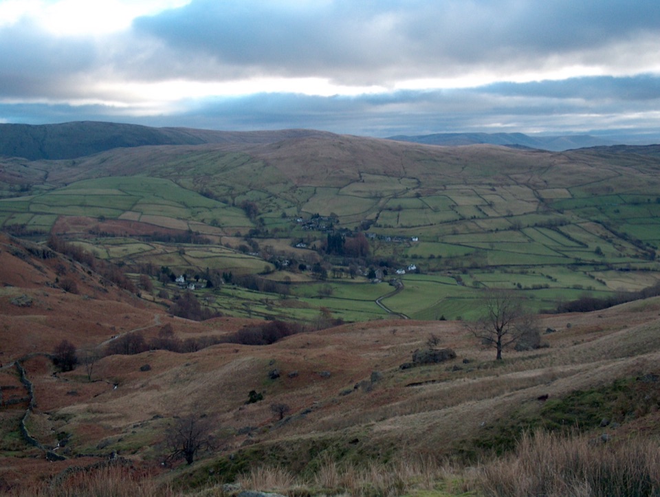 ChallengingThe Kentmere Horseshoe20.6 km · 8 hr · At the trailheadEight Wainwright summits ringing a quiet valley on one long ridge day
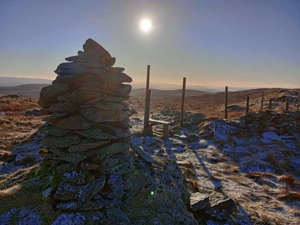 ModerateGrey Crag, Harrop Pike and Tarn Crag11.3 km · 4.5 hr · 3.2 km awayFour summit tops and a boggy, quiet sweep above Longsleddale
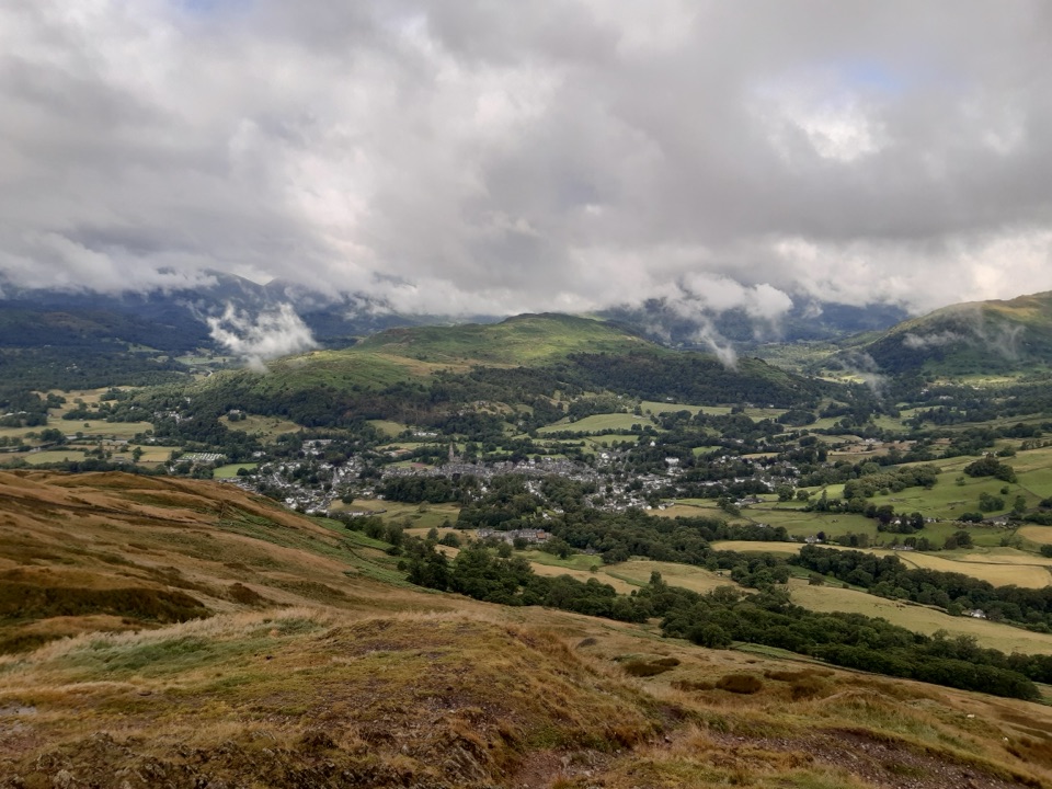 ModerateWansfell Pike and Troutbeck10.1 km · 4 hr · 4.5 km awayHistoric hamlet lanes, a stiff fell climb, wide Windermere views
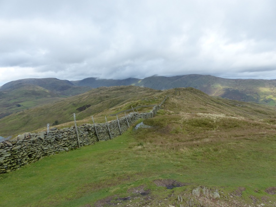 ModerateWansfell from Troutbeck Walk10.1 km · 4 hr · 4.6 km awayA steady climb from stone lanes to ridge views over Windermere
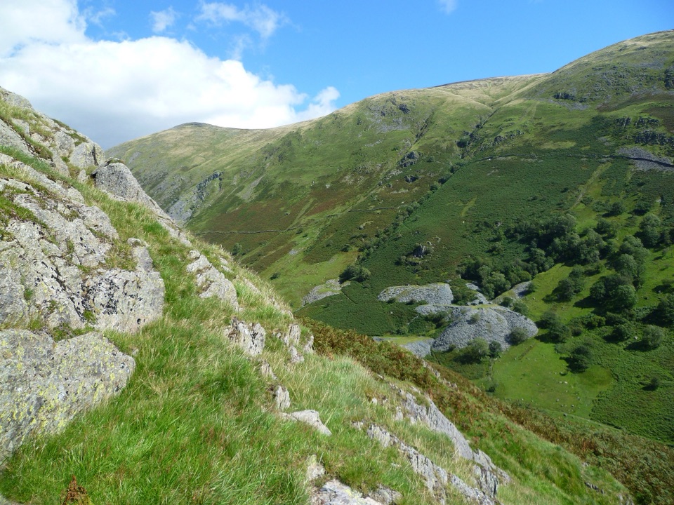 ModerateTroutbeck Tongue12.4 km · 3.3 hr · 4.6 km awayValley lanes, a steep bracken climb, and a pointed summit cairn
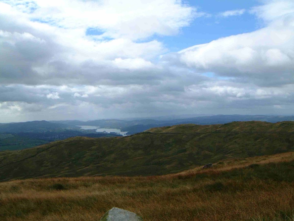 ModerateSour Howes and Sallows8.7 km · 3.5 hr · 4.6 km awayQuiet twin-fell circuit with wide Windermere and Kentmere views
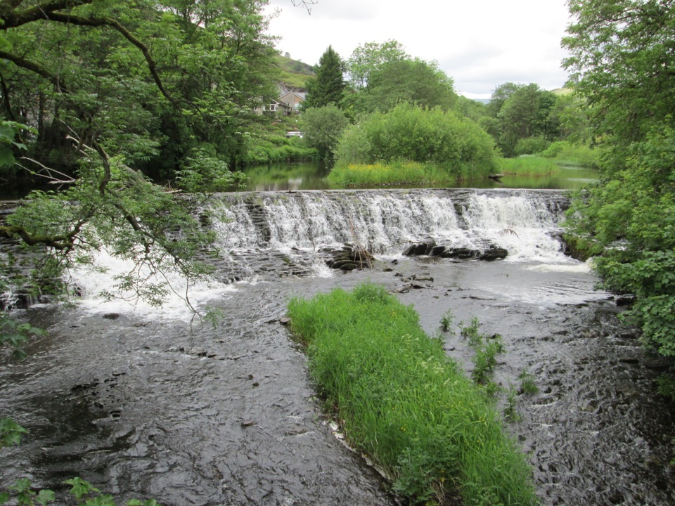 EasyStaveley Riverside1.5 km · 30 min · 6.1 km awayLevel riverside mile past an 1853 weir, dippers and mill history
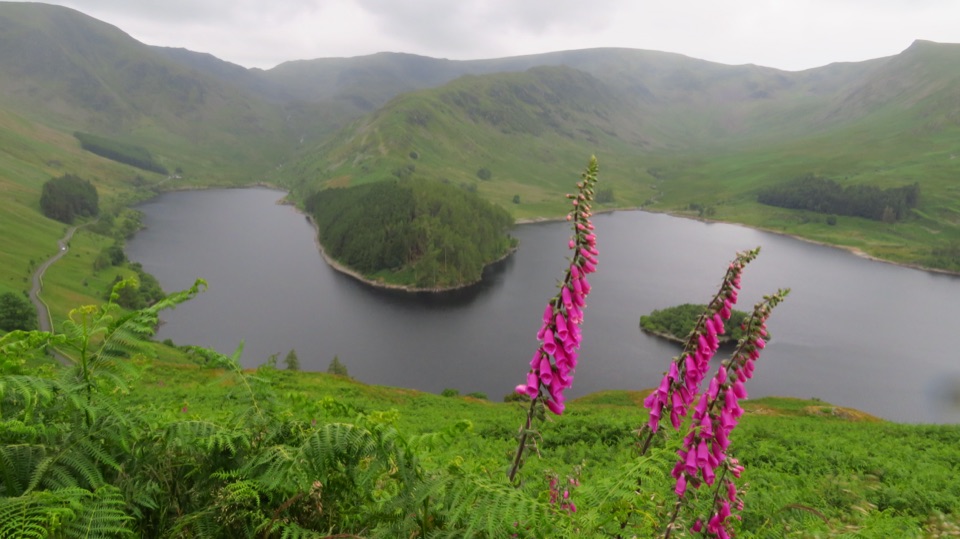 ChallengingBranstree and Selside Pike from Mardale Head9.3 km · 3.5 hr · 6.7 km awaySteep pass climb, boggy ridge, and an old corpse road to Haweswater
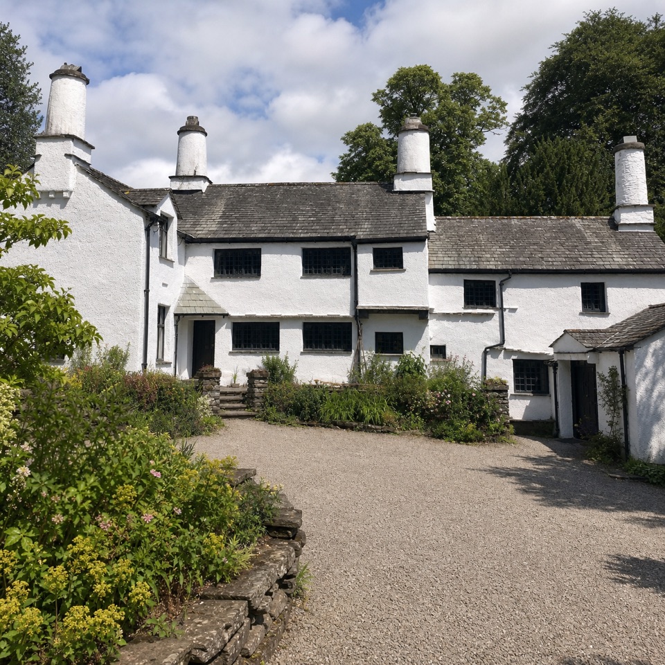 Sight · 5.2 km awayTownendA lived-in farmhouse where 400 years of Browne family life remain.
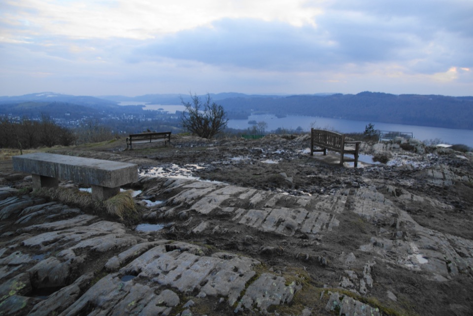 Sight · 6.3 km awayOrrest HeadA short climb to Windermere's classic lake-and-fell panorama
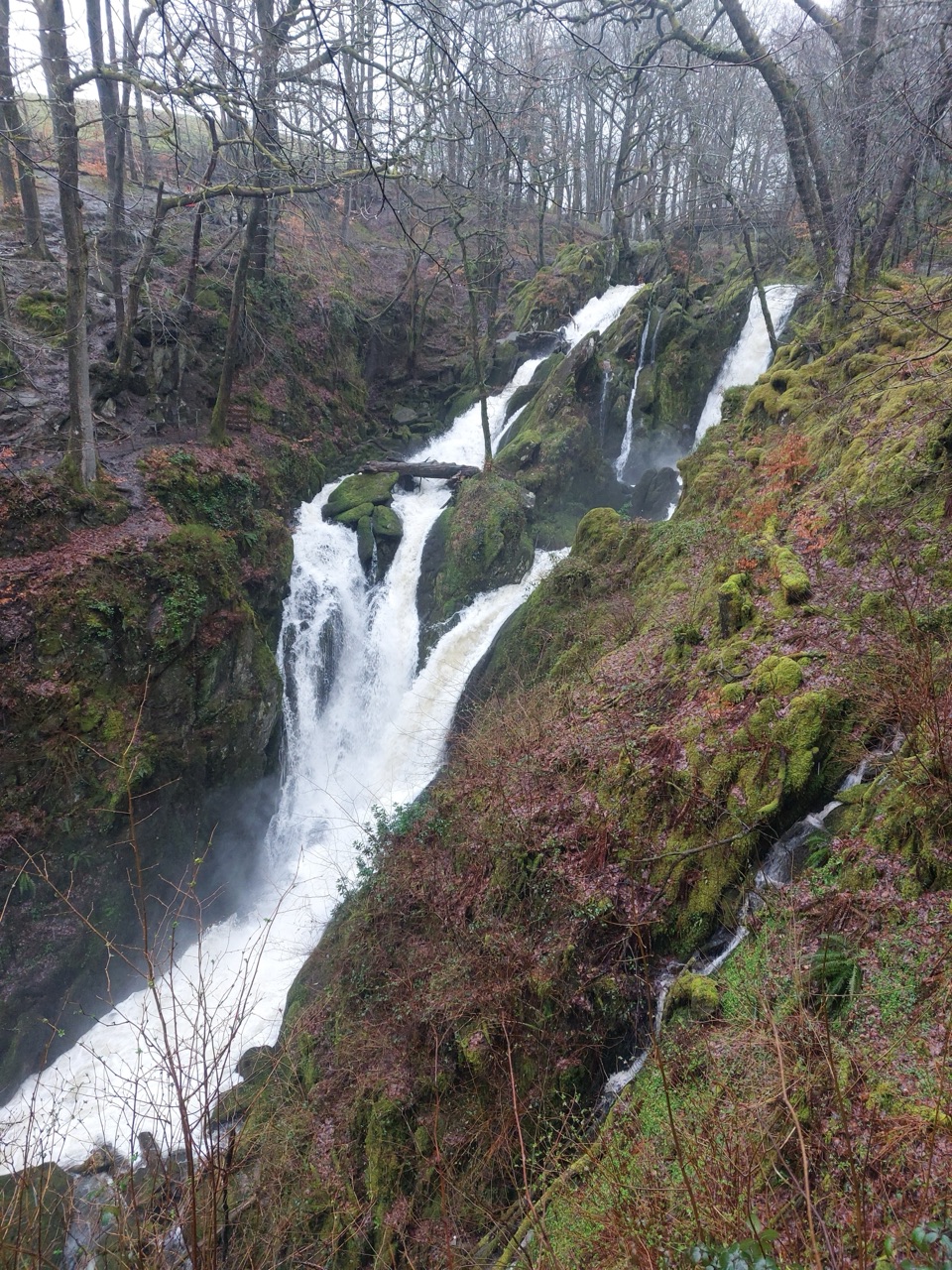 Sight · 7.2 km awayStock Ghyll ForceA short woodland walk to a 70-foot cascade above Ambleside
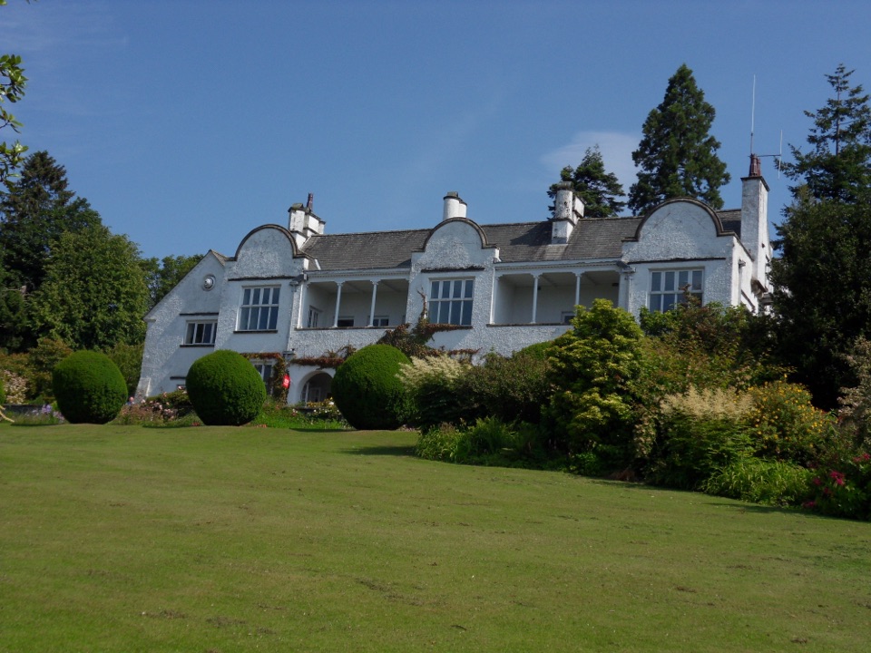 Sight · 7.3 km awayBrockhole on WindermereMawson gardens, woodland, and Windermere shore in one easy stop
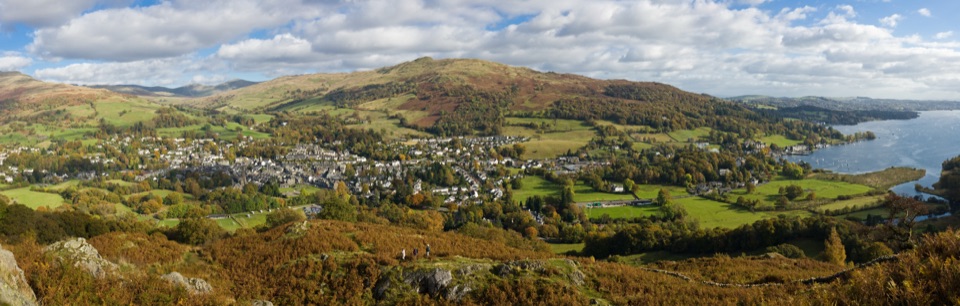 Sight · 7.9 km awayAmblesideOutdoor shops and old slate streets, with Windermere a mile away
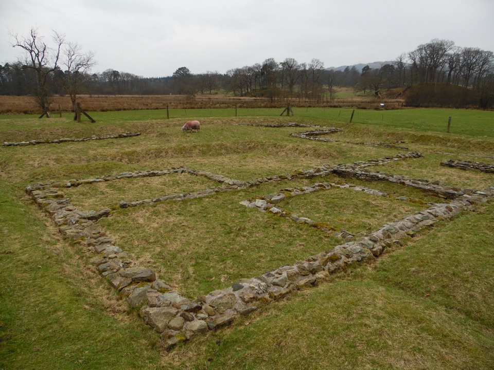 Sight · 8.3 km awayAmbleside Roman FortLow stone foundations make a Roman garrison surprisingly legible
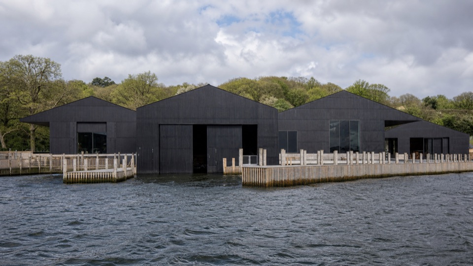 Sight · 8.4 km awayWindermere Jetty MuseumA lakeside museum where Windermere's boats come vividly to life
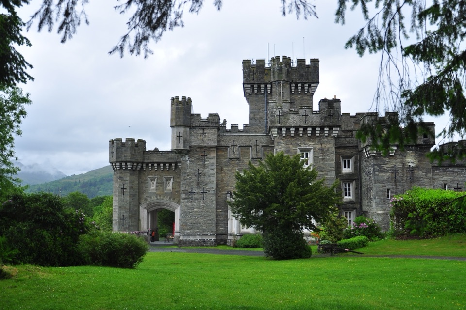 Sight · 8.6 km awayWray CastleA turreted lakeshore estate tied to Beatrix Potter's first visit
Parkwolf’s Lake District ranking

The audio tour guide for the drive, plus offline maps, trails, and wildlife heatmaps for when the signal drops.





