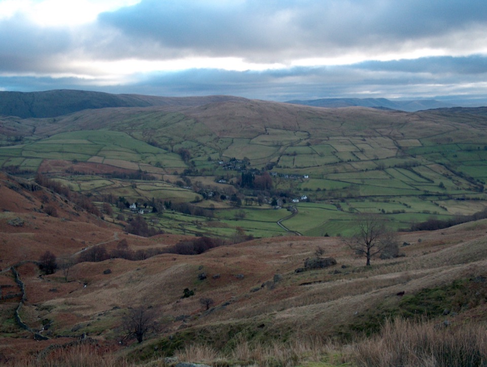
The Kentmere Horseshoe in Lake District National Park

#23 of 265 trails in Lake District

Lake District National Park, EN

The Kentmere Horseshoe

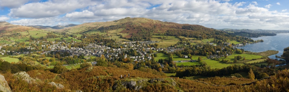
Eight Wainwright summits ringing a quiet valley on one long ridge day

Photo: Wikimedia Commons
Length
20.6km
Time
8hr
Elev. change
584m
Difficulty
Challenging
  • Loop
  • Dogs allowed
  • High point 764 m

Hear the audio tour

Kentmere: Valley Walk or Horseshoe

Overview

About The Kentmere Horseshoe

Why go

  • Eight summits and continuous high-level views
  • Quiet, remote valley setting

Heads up

  • Long, exposed day with limited escape options
  • Very limited parking and no route facilities

Map & elevation

The route

Loading the Lake District map
Full map
Elevation180–764 m
TrailheadKentmere Institute54.42962, -2.84037
Keep this map with you offline in the Parkwolf app

Plan your hike

Before you go

Parking

Start at the Kentmere Institute and village hall, opposite St Cuthbert's Church, Kentmere, LA8 9JL. The small car park has around nine spaces and the lane is narrow single track with passing places. Do not park on the road, in passing places, or across field gateways. A farm field may open for overflow occasionally, but it is not dependable.


Best time to go

The ridges are open and exposed with almost no shelter once you are above Garburn Pass, and Nan Bield is the only realistic escape point back into the valley part way round. In cloud the broad grassy sections near the top of the horseshoe are easy to misjudge, so carry a map and compass and know how to use them. Long daylight and settled conditions make the day far more enjoyable; in winter the tops can hold snow and ice, with boggy ground and short days adding to the commitment.

Safety

High, exposed fell terrain, steep loose rock near Nan Bield and Harter Fell, boggy sections, and serious navigation in cloud. There is no reliable water or shelter on the ridge. Livestock is common, so keep dogs under close control and on a short lead.

8 active Lake District alerts

  • ClosureChapel Stile footpath closed for retaining-wall riskPart of Footpath 543030 between Chapel Stile and Baysbrown campsite is closed because a retaining wall beside the path could collapse and material it supports could fall across the footpath.Official details
  • ClosureStanley Ghyll Lower Falls footpath closed for rockfallThe section of Footpath 408037 leading towards Stanley Ghyll Lower Falls is closed because severe rockfall damage has made the path unstable and further rockfall remains a danger.Official details
See all 8 alerts
A park ranger sits on a dash-mounted phone, talking, as Parkwolf’s Tour Guide plays “Army Cutworm Moths: A Grizzly Bear Buffet” on Grand Loop Road below Dunraven Pass in Yellowstone
Parkwolf Tour GuideThe highest, rockiest slopes around here are a summer buffet for grizzly bears.

Lake District Tour Guide

Your drive to The Kentmere Horseshoe, narrated.

Parkwolf is a GPS audio tour guide for Lake District National Park. As you drive, it chimes in with what’s ahead: hidden gems, upcoming stops, history, geology, and wildlife, right through your car’s speakers.

Recorded for this trailhead

Kentmere: Valley Walk or Horseshoe
0:00 / 1:11
“You're approaching Kentmere village, where you can choose between a walk into the valley and a full day on the ridges above it.”

Plays as you drive up to this trailhead in the Parkwolf Lake District Tour Guide.

More stories near here in the app

  • Sadgill: Grey Crag and Tarn Crag
  • Kentmere: The Lake That Came Back
  • Troutbeck: Wansfell Pike and Baystones
  • Goosanders: Peering Below the Surface
  • 298 audio storiesacross Lake District’s roads, triggered by GPS as you drive
  • Wildlife heatmapsfor Red Deer, Eurasian Otter, Osprey, and 13 more
  • Works offlinemaps, 265 trails, 89 places, and audio download before you lose signal
  • CarPlay readysimple controls built for the drive
★★★★★
“Fantastic app with many points of information… It’s great to just turn on while you’re driving and it gives you an audio tour of the national Park. We love it!!!!”
JMJamesApp Store review
Download Parkwolf on the App StoreGet Parkwolf on Google Play

4.7 from 8,600+ ratings

Trail guide

Hiking The Kentmere Horseshoe

The short versionA 12.8 mile (20.

A 12.8 mile (20.7 km) loop around the head of the Kentmere valley, starting and finishing in the village and taking in eight Wainwright fells on a near continuous high ridge. Expect roughly 1,085 to 1,200 m of ascent and around 8 hours at a steady walking pace. Some parties quote 6 to 8 hours, fit runners and fast walkers manage closer to 5 to 6, but plan for the longer end.

How the route runsWalked clockwise from the Kentmere Institute, the way climbs the village road and High Lane to…

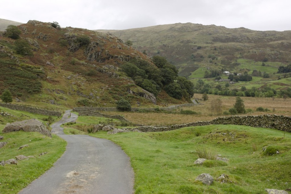
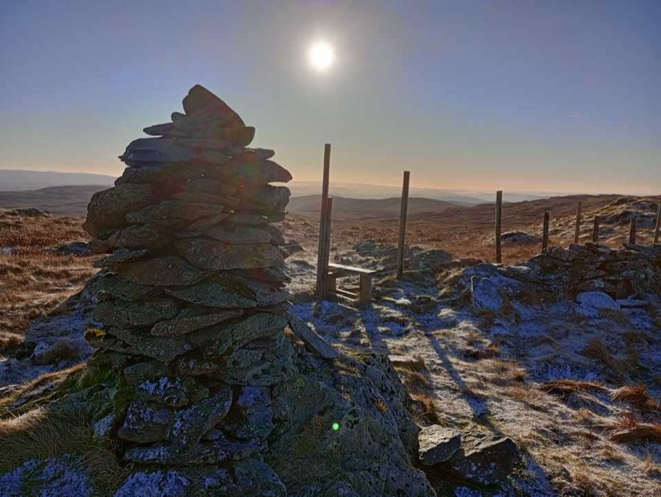
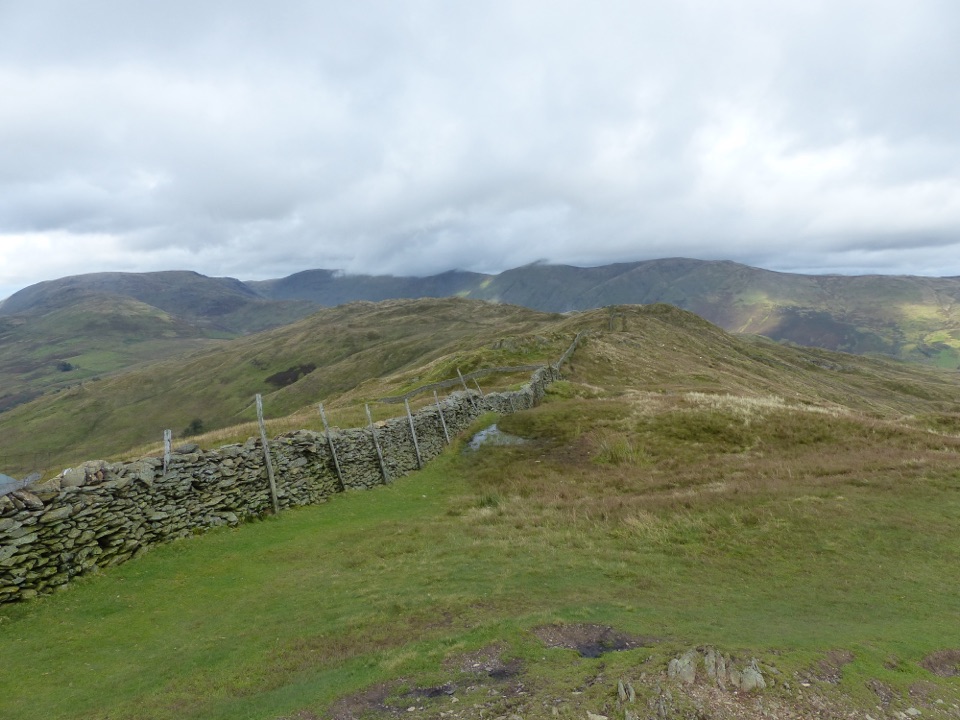
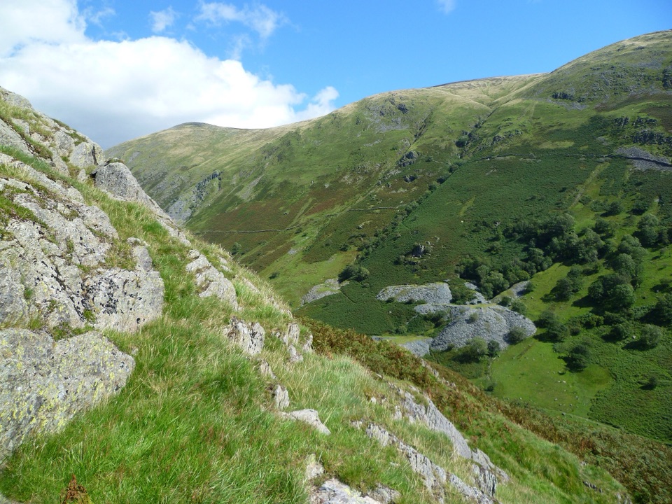
Walked clockwise from the Kentmere Institute, the way climbs the village road and High Lane to Garburn Pass, then turns north along the western arm of the horseshoe over Yoke, Ill Bell and Froswick to the tall beacon on Thornthwaite Crag. From there it contours around the head of Hayeswater Gill to Mardale Ill Bell, drops to the col at Nan Bield Pass, and returns down the eastern arm over Harter Fell, Kentmere Pike and Shipman Knotts, finishing via Wray Crag and High Lane back into the village.

The optional extension onto High Street is a common addition but is not part of this mapped route, so the distance and ascent figures above do not include it.

Difficulty and footingThis is a hard fell day, rated 8 out of 10, mostly for its length, sustained height gain and…

This is a hard fell day, rated 8 out of 10, mostly for its length, sustained height gain and the amount of time spent above the valley rather than for technical climbing. There is no sustained scrambling on the standard line, though a few short rocky steps need hands on the ridges.

  • Road and rough track at the start and finish
  • Wide gravelled and stony paths along the ridges
  • Grass and boggy ground around the high plateau and cols
  • Loose rock on the steeper descents, notably off Harter Fell toward Nan Bield
Water, food and shadeThere are no facilities anywhere on the route and no reliable water, so carry everything you…

There are no facilities anywhere on the route and no reliable water, so carry everything you need for the full day. There is no shade on the ridges. The nearest cafes and public toilets are in Staveley, down the valley.

Dogs and livestockDogs are welcome on the public route, but you will pass sheep and cattle on the lower fields…

Dogs are welcome on the public route, but you will pass sheep and cattle on the lower fields and open fell. Keep dogs close and on a short lead near livestock and wildlife. If cattle approach and behave aggressively while you have a dog on the lead, let the lead go so the dog can get clear. Bring water for your dog too.

Parking and accessStart from the Kentmere Institute and village hall, opposite St Cuthbert's Church, Kentmere,…

Start from the Kentmere Institute and village hall, opposite St Cuthbert's Church, Kentmere, LA8 9JL. Parking is extremely limited, around nine spaces at the institute, and the approach is narrow single track with passing places. Do not park on the road, in passing places or across field gateways. A farm field is sometimes opened for overflow, but treat that as luck rather than a facility you can count on, and consider arriving early or getting dropped off.

How it comparesIf you know the Fairfield Horseshoe, this is a similar high level ridge circuit of comparable…

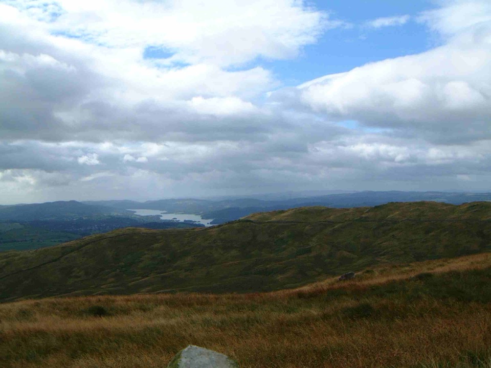
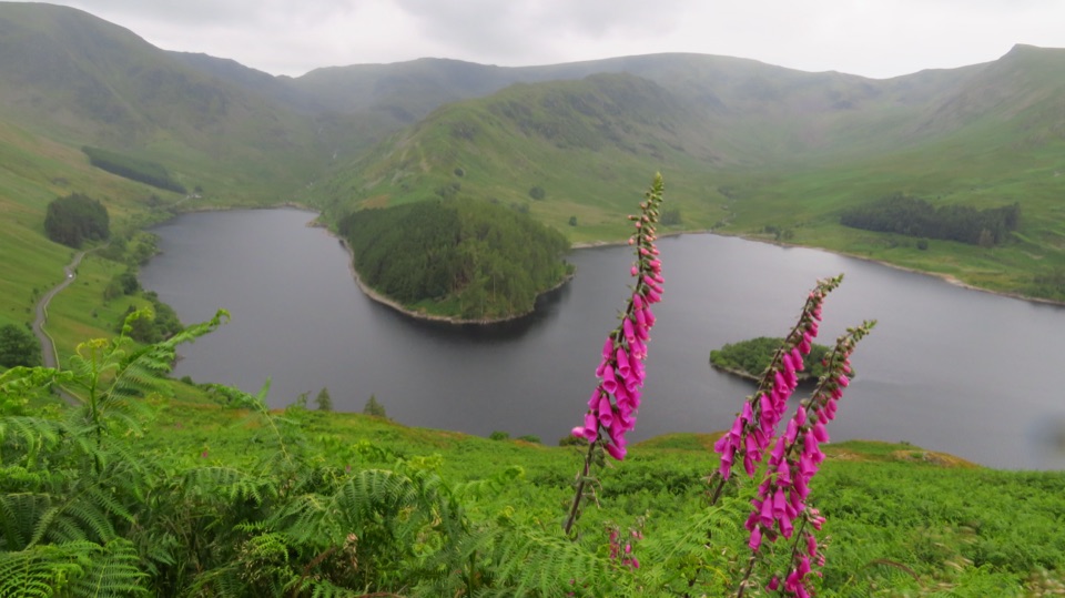
If you know the Fairfield Horseshoe, this is a similar high level ridge circuit of comparable length. Fairfield starts from busy Ambleside and links more summits; Kentmere feels quieter and more remote, with a working valley start and long views over the reservoir and back along the twin arms of the ridge.

Wildlife

Wildlife in Lake District

All Lake District wildlife maps

Sighting maps show where each species has been reported across Lake District. Wildlife moves, so no sighting is guaranteed.

Keep exploring

Near The Kentmere Horseshoe

See it all on the map

Trails that start nearby

Places near the trailhead

Parkwolf’s Lake District ranking

Top-rated trails in Lake District

All 265 trails
  1. 1Scafell Pike via Hollow Stones from WasdaleChallenging · 9 km
  2. 2Helvellyn via Striding Edge and Swirral EdgeChallenging · 12.4 km
  3. 3CatbellsModerate · 6.6 km
  4. 4The Old Man of ConistonChallenging · 9 km
  5. 5Buttermere CircularEasy · 7.6 km
  6. 6The Fairfield HorseshoeChallenging · 17.2 km

Take Parkwolf to Lake District.

The audio tour guide for the drive, plus offline maps, trails, and wildlife heatmaps for when the signal drops.

4.7 from 8,600+ ratings

Download Parkwolf on the App StoreGet Parkwolf on Google Play