Parking
Park by the restroom at Las Vegas Bay Campground. Follow the campground roads to the path entrance between sites 74 and 72, near the amphitheater. Park entry is in a fee area.
Lake Mead National Recreation Area, AZ · NV
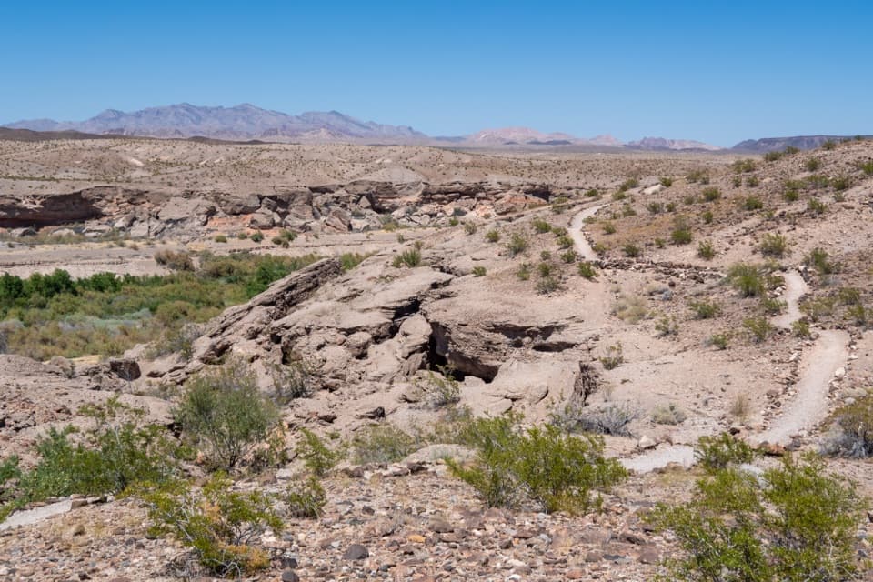
Green wash views and eroded bluffs just above the campground.
Overview
Map & elevation
Plan your hike

The highest, rockiest slopes around here are a summer buffet for grizzly bears.
Lake Mead Tour Guide
Parkwolf is a GPS audio tour guide for Lake Mead National Recreation Area. As you drive, it chimes in with what’s ahead: hidden gems, upcoming stops, history, geology, and wildlife, right through your car’s speakers.
See the Lake Mead audio tourRecorded for this trailhead
Las Vegas Bay Campground: Trees Above the Wash“Las Vegas Bay Campground is coming up, a developed overnight base near Henderson. Choose it for a tent or RV stay among mature trees, which shade and screen some sites; there's no lake access here.”
Plays as you drive up to this trailhead in the Parkwolf Lake Mead Tour Guide.
More stories near here in the app
“Fantastic app with many points of information… It’s great to just turn on while you’re driving and it gives you an audio tour of the national Park. We love it!!!!”


Trail guide
Bluffs Trail is an unmaintained out-and-back from campsite 72 in Las Vegas Bay Campground to a rocky overlook above Las Vegas Wash. The mapped route is about 2.7 miles round trip; allow roughly two hours with time at the viewpoints. Published distances vary: one park listing says 3.9 miles, while detailed route directions and the mapped tread reach the Overlook at about 2.7. The longer figure’s turnaround is unclear. For a shorter walk, First Summit is about 2 miles round trip.
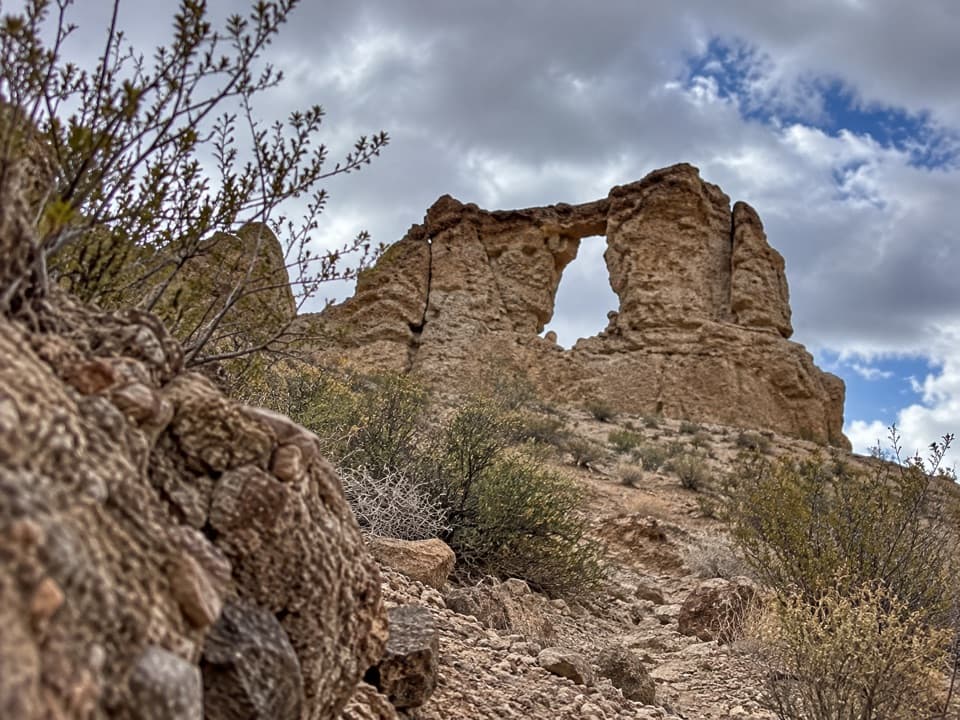
The dirt path starts between campsites 74 and 72 near the amphitheater. It follows the bluff above the green wash, crosses two smaller washes and passes broken ledges of hard conglomerate. About halfway, it bends south away from the water and crosses colorful mud slopes. The climbing is gentle until a steeper rise beside a dark volcanic outcrop. A junction lets you bypass First Summit; the mapped line visits it.
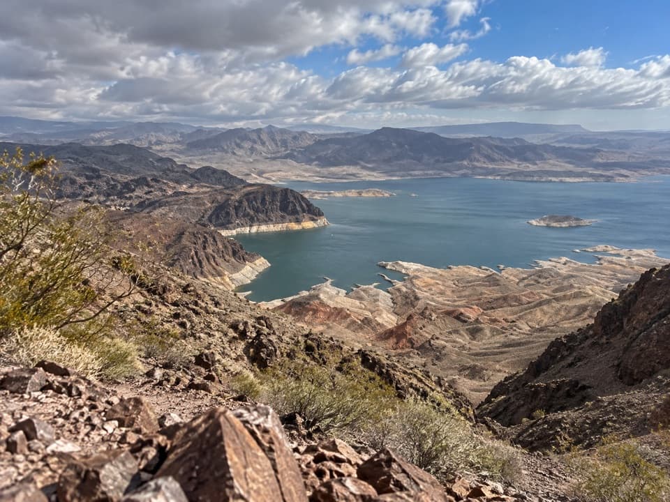
First Summit opens broad views toward the River Mountains, Las Vegas Wash, Lake Mead, Lava Butte and the Muddy Mountains. The trail drops into a low saddle, climbs to Second Summit, then follows a rocky ridge down to the final Overlook. From there, the ground falls steeply into Las Vegas Wash, with the Muddy Mountains beyond. Include some of the green wash below the rocky foreground to show the bluff’s height. The route is short enough to take your time, but watch your footing near the edge.
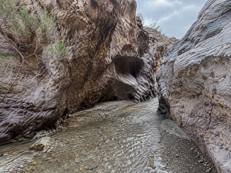
Along the wash, cottonwoods and willows stand out against the dry desert slopes. The contrast is part of the appeal, and the wash is a good place to look for birds. Water has also shaped the bluff: it cuts softer material from under the harder caprock, leaving slabs and blocks that can break away above the channel. Near First Summit, look for the small yellow flowers of Silverleaf Sunray in spring and summer.
Park by the campground restroom, then follow campground roads past the sites to the path entrance at 72. The campground is in the park fee area; accessible restrooms and water spigots are nearby, but there’s no water on the trail and no food at the trailhead. The path is not maintained, with loose rock and gravel, wash crossings and steep bluff edges. Heat is serious here, especially in summer, so start during cooler hours. Dogs are allowed on a leash no longer than six feet.
Wildlife
 525 sightingsBighorn SheepMost seen around 5 PMSighting map
 116 sightingsBurroMost seen around 7 PMSighting map
 18 sightingsBald EagleMost seen around 4 PMSighting map
 99 sightingsWhite PelicanMost seen around 7 AMSighting map
 145 sightingsGreat Blue HeronMost seen around 7 AMSighting map
 106 sightingsTurkey VultureMost seen around noonSighting map
Sighting maps show where each species has been reported across Lake Mead. Wildlife moves, so no sighting is guaranteed.
Keep exploring
 EasyLas Vegas Bay Shoreline Trail3.4 mi · 1.8 hr · 0.9 mi awayWalk a rock-lined path along the bay's former shore.
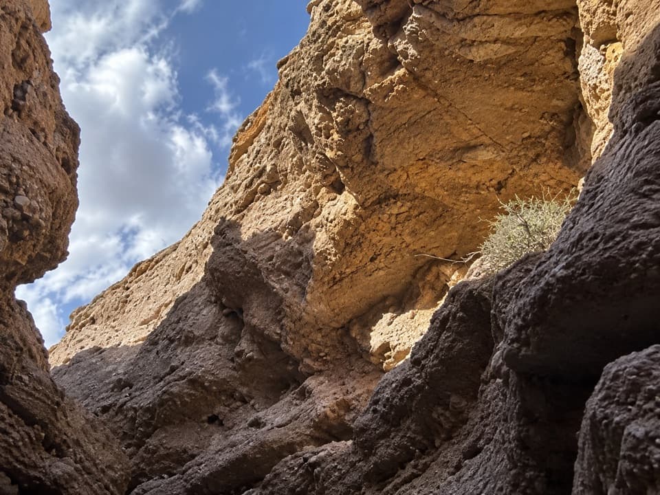 ModerateShoreline & White Owl Canyon Loop6.5 mi · 3.5 hr · 0.9 mi awayA rough loop of lakebed shore, gravel washes, and slot canyons.
 ModerateWetlands Trail0.8 mi · 1 hr · 1.6 mi awayA short desert ridge walk reaches the sound of running water.
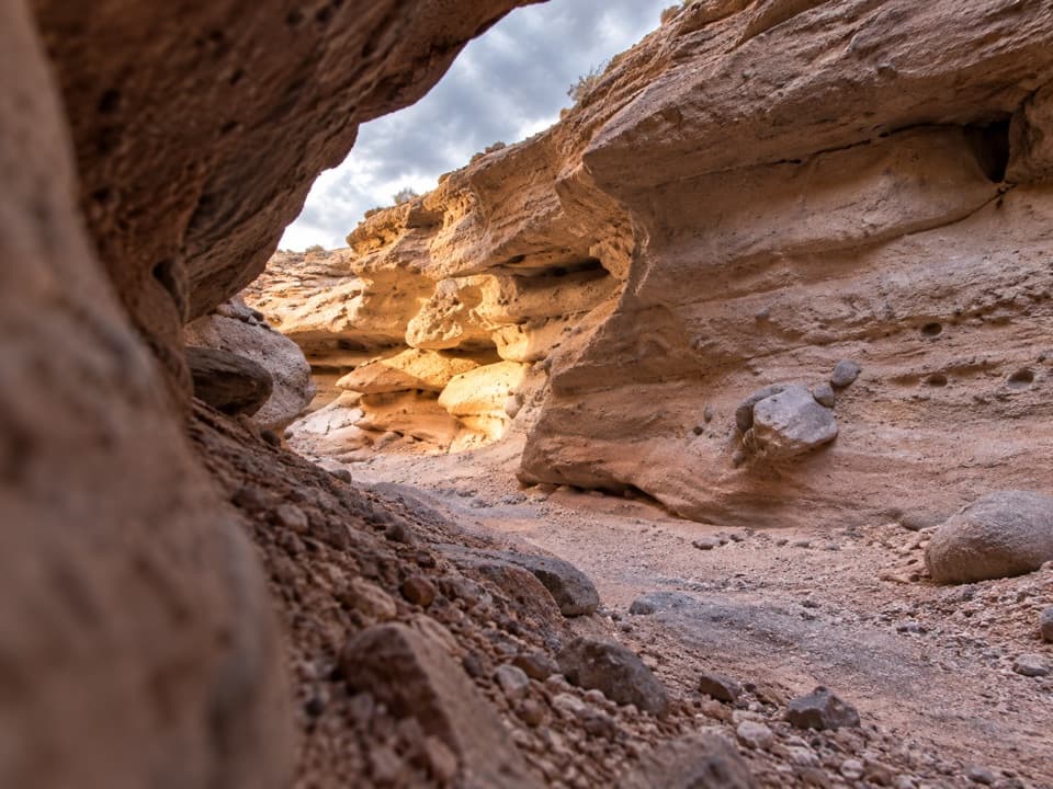 ModerateOwl Canyon Trail2.2 mi · 2 hr · 2.1 mi awayA steep descent to sculpted narrows and two road crossings.
 EasySunset View Trail0.6 mi · 24 min · 3.6 mi awayA short loop with broad views over Lake Mead's Boulder Basin.
 ModerateBlack Mesa Trail3.9 mi · 3.5 hr · 6.3 mi awayA cross-country climb to Black Mesa's broad summit above Lake Mead.
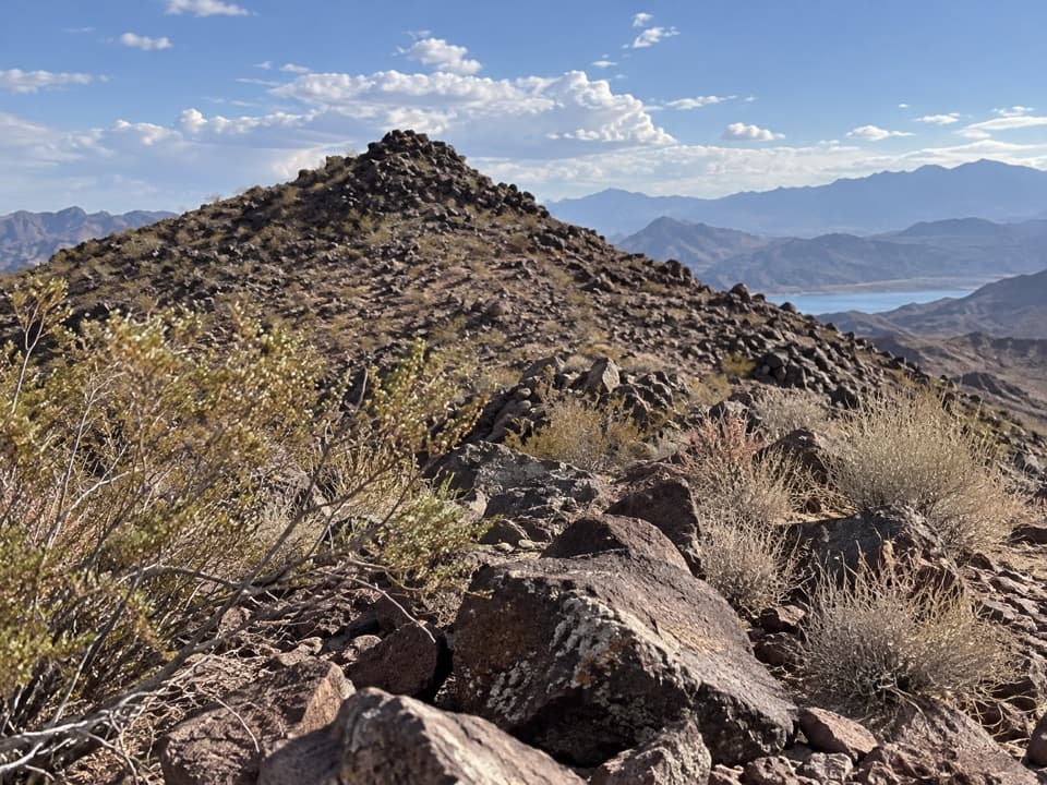 ModerateCallville Ridge Trail4.7 mi · 4 hr · 6.9 mi awayA pathless ridge to three summits and 1950s jet wreckage.
 EasyHistoric Railroad Trail7.5 mi · 3 hr · 9.3 mi awayFive dark tunnels on a railbed high above Lake Mead.
 Campground · 0.2 mi awayLas Vegas Bay CampgroundShaded sites and a bluff trail above Las Vegas Wash.
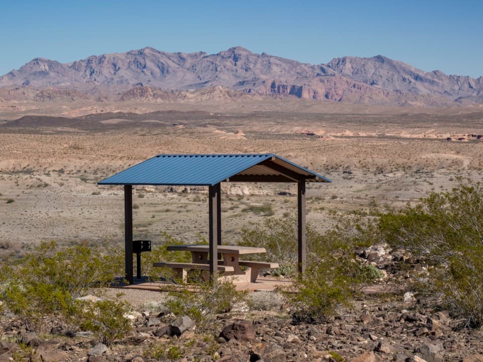 Sight · 0.8 mi awayLas Vegas Bay OverlookA blue-roofed picnic shelter frames Las Vegas Wash and desert ridges.
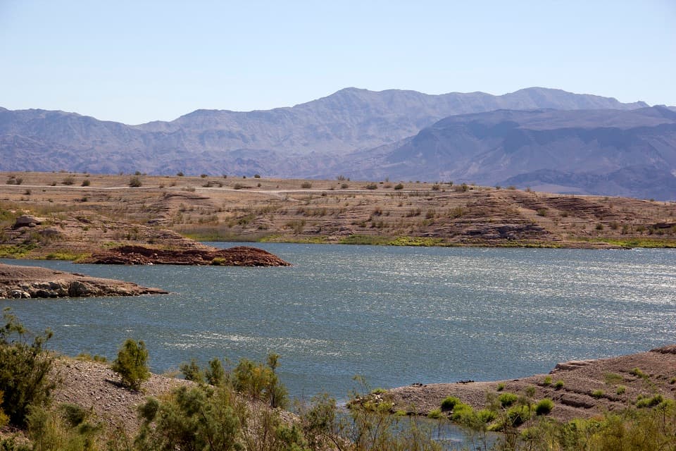 Campground · 2.1 mi awayGovernment Wash Campground and Day Use AreaCamping with small-craft lake access and no utility hookups
 Picnic area · 2.1 mi away33 Hole Scenic OverlookPicnic above Las Vegas Bay, with Owl Canyon starting nearby.
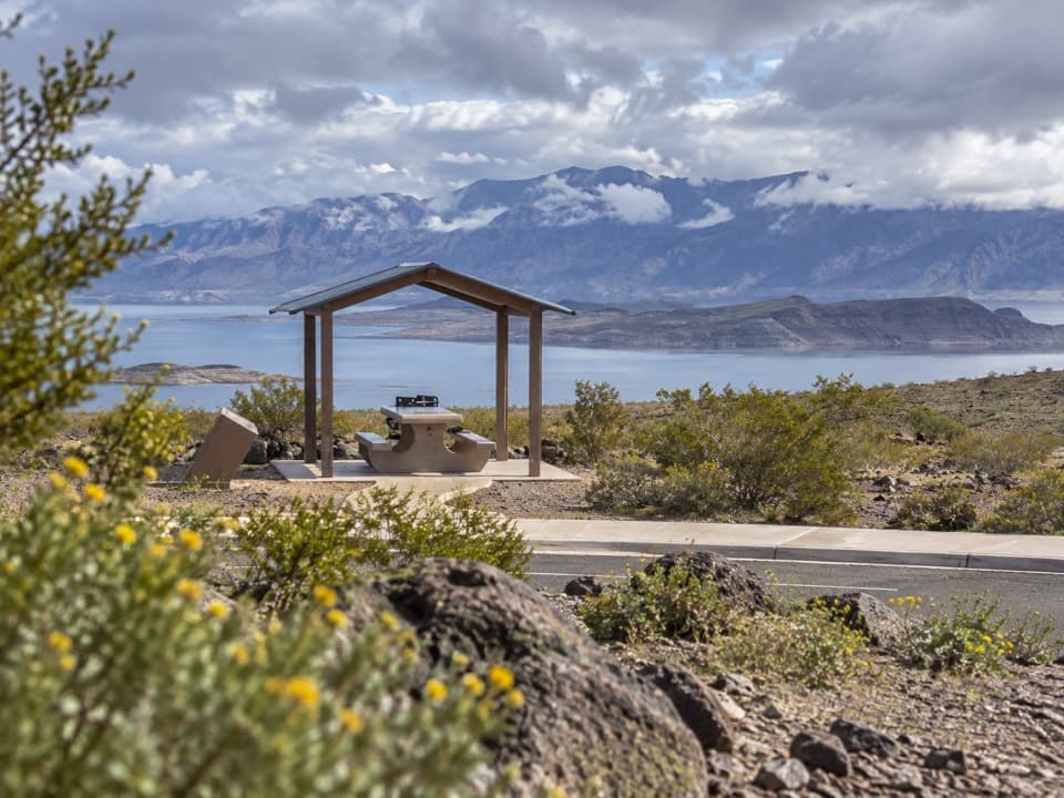 Sight · 2.7 mi awayLongview Scenic OverlookAn easy picnic stop with a wide Lake Mead view.
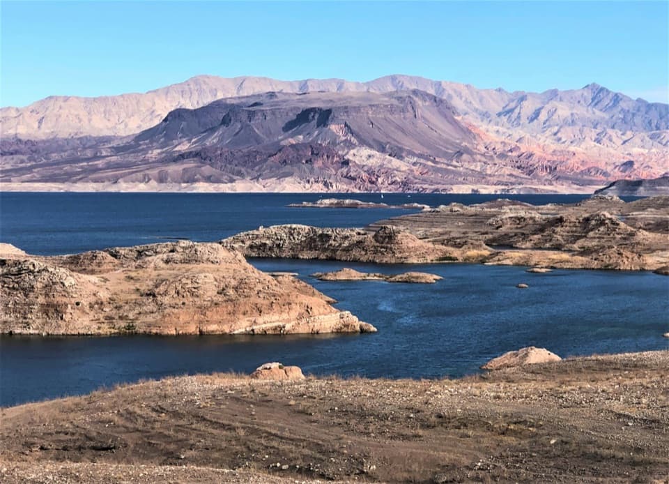 Scenic pullout · 3.7 mi awaySunset View Scenic OverlookA quick Lakeshore Road stop for a wide Lake Mead panorama.
 Beach · 7.2 mi awayBoulder BeachA rocky swim stop with volcanic cliffs across the basin.
 Beach · 7.6 mi awaySpecial Events BeachA rocky Boulder Basin beach reached by dirt road.
Parkwolf’s Lake Mead ranking

The audio tour guide for the drive, plus offline maps, trails, and wildlife heatmaps for when the signal drops.