Shoreline & White Owl Canyon Loop in Lake Mead National Recreation Area

Lake Mead National Recreation Area, AZ · NV

Shoreline & White Owl Canyon Loop

A rough loop of lakebed shore, gravel washes, and slot canyons.

Length
6.5mi
Time
3.5hr
Elev. change
709ft
Difficulty
Moderate
  • Loop
  • Dogs allowed
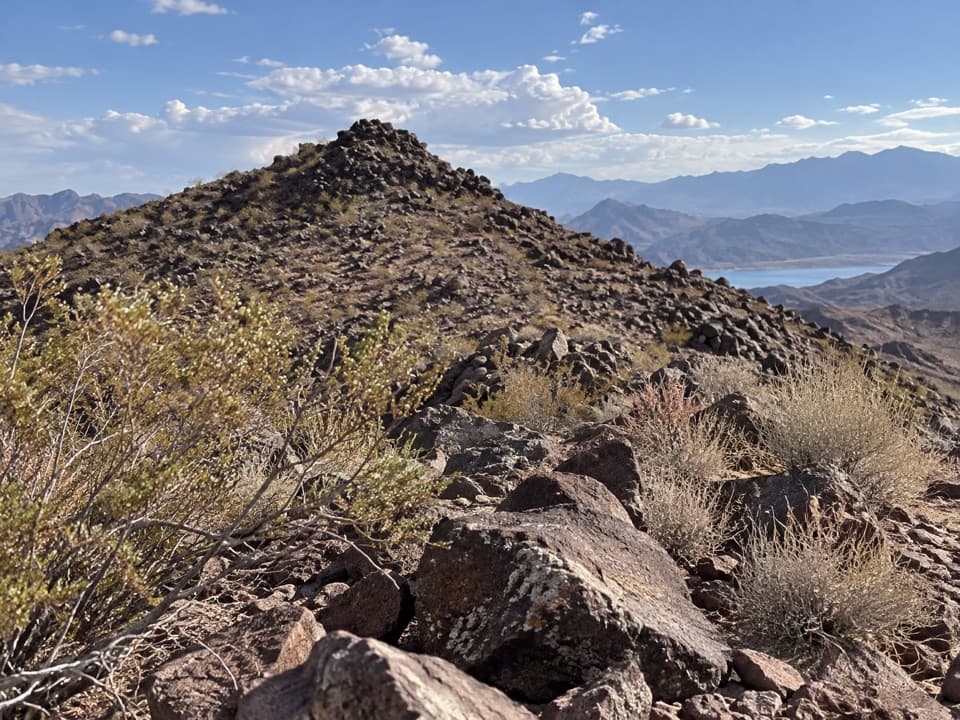
  • High point 1,827 ft
  • #14 of 42 in Lake Mead

Hear the audio tour

Las Vegas Bay Overlook: The Wash and the City

Overview

About Shoreline & White Owl Canyon Loop

Why go

  • Shoreline shelf, gravel washes and tight canyon passages make a varied circuit.
  • White Owl Canyon has sculpted walls and visible signs of owl roosts.

Heads up

  • The stored full loop is about 6.5 miles, longer than some 4.8–4.9-mile figures.
  • Loose gravel, boulder scrambles and rough washes slow the route.

Map & elevation

The route

Loading the Lake Mead map
Full map
Elevation1,119–1,827 ft
TrailheadOld Las Vegas Bay marina / boat ramp36.11979, -114.86254
Keep this map with you offline in the Parkwolf app

Plan your hike

Before you go

Parking

From East Lake Mead Parkway, pass the entrance station, continue about two miles and turn left onto the old marina road; follow it to the paved former boat ramp. Start past the concrete barriers on the rock-marked Shoreline path. This is not the 33 Hole/Owl Canyon trailhead. Current old-marina access was not confirmed on an NPS hiking page; check with Lake Mead before driving out.

Safety

Avoid the slots and washes during monsoon storms because of flash-flood risk. Expect loose rocks, heavy gravel, short scrambles and a boulder maze. The old marina access has no confirmed food or drinking-water service; carry water. Keep pets leashed within six feet and leave owl roosts undisturbed.

4 active Lake Mead alerts

  • CautionHarmful algae bloom at Nelson’s Landing and Cottonwood CoveA harmful algae bloom has been confirmed in recent samples from Nelson’s Landing and Cottonwood Cove; avoid contact with water where algae is visible.Official details
  • CautionArizona Hot Springs bacteria advisoryLimit body contact with Arizona Hot Springs water: fecal bacteria in samples frequently reach high levels and can transmit human diseases.Official details
See all 4 alerts
A park ranger sits on a dash-mounted phone, talking, as Parkwolf’s Tour Guide plays “Army Cutworm Moths: A Grizzly Bear Buffet” on Grand Loop Road below Dunraven Pass in Yellowstone
Parkwolf Tour GuideThe highest, rockiest slopes around here are a summer buffet for grizzly bears.

Lake Mead Tour Guide

Your drive to Shoreline & White Owl Canyon Loop, narrated.

Parkwolf is a GPS audio tour guide for Lake Mead National Recreation Area. As you drive, it chimes in with what’s ahead: hidden gems, upcoming stops, history, geology, and wildlife, right through your car’s speakers.

See the Lake Mead audio tour

Recorded for this trailhead

Las Vegas Bay Overlook: The Wash and the City
0:00 / 0:31
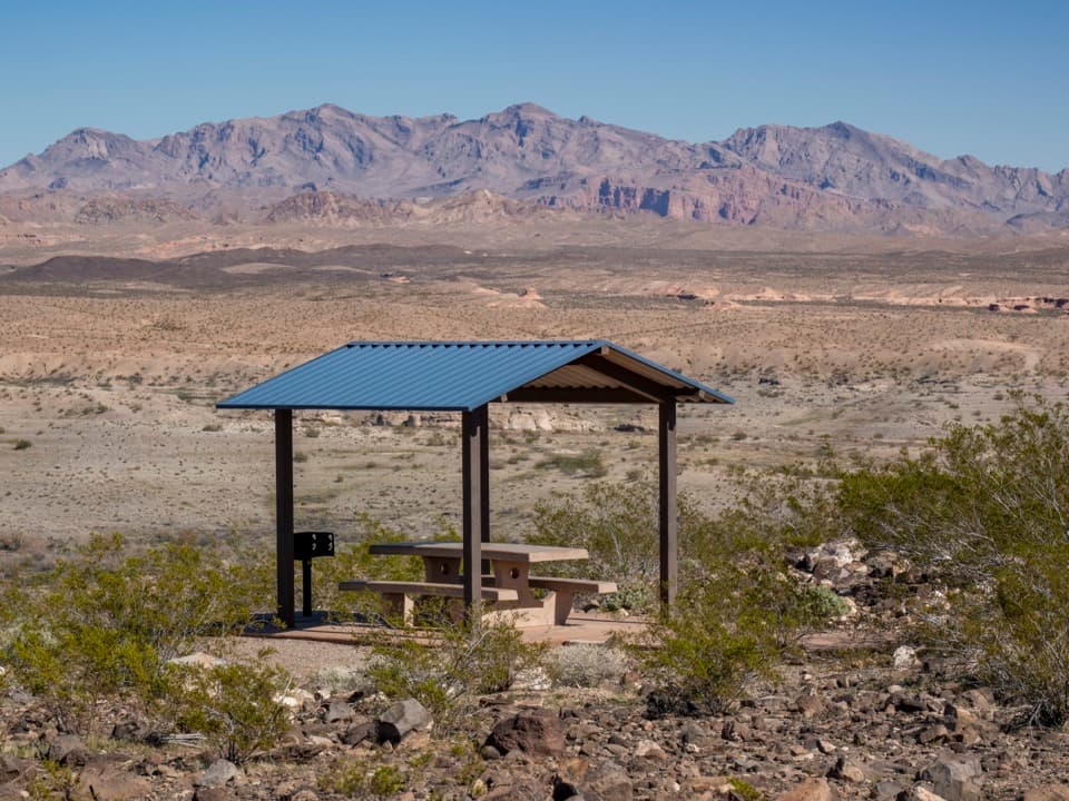
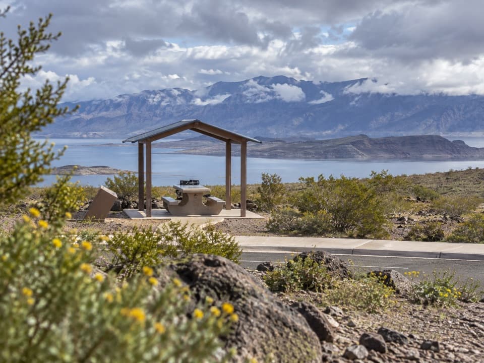
“The turnoff for Las Vegas Bay Overlook is coming up. Follow the short spur for a picnic above Las Vegas Wash, with tables and grills overlooking the desert basin.”

Plays as you drive up to this trailhead in the Parkwolf Lake Mead Tour Guide.

More stories near here in the app

  • Rock That Slowly Flows
  • Las Vegas Bay Campground: Trees Above the Wash
  • 33 Hole Overlook and Owl Canyon
  • The Heron’s Sudden Strike
  • 153 audio storiesacross Lake Mead’s roads, triggered by GPS as you drive
  • Wildlife heatmapsfor Bighorn Sheep, Burro, Bald Eagle, and 13 more
  • Works offlinemaps, 42 trails, 70 places, and audio download before you lose signal
  • CarPlay readysimple controls built for the drive
★★★★★
“Fantastic app with many points of information… It’s great to just turn on while you’re driving and it gives you an audio tour of the national Park. We love it!!!!”
JMJamesApp Store review
Download Parkwolf on the App StoreGet Parkwolf on Google Play

4.7 from 8,600+ ratings

Trail guide

Hiking Shoreline & White Owl Canyon Loop

What the full loop isThis is a 6.

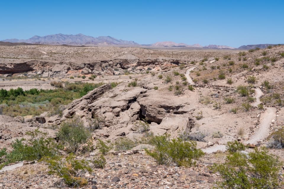
This is a 6.5-mile loop from the old Las Vegas Bay marina ramp, linking the exposed former shoreline, White Owl Canyon, a long wash climb and Hippie Canyon. Expect gravel, boulder steps, culverts and short scrambles, not a continuous built trail. The saved GPS line follows the full circuit; other route descriptions list 4.8–4.9 miles, so use the longer mapped distance and keep offline navigation available. Allow about 3–4 hours. It suits hikers looking for a varied desert walk with canyon passages, but it is a poor fit if you want a signed, smooth path.

Follow the old shorelineStart at the paved former boat-ramp area, pass the concrete barriers and pick up the Shoreline…

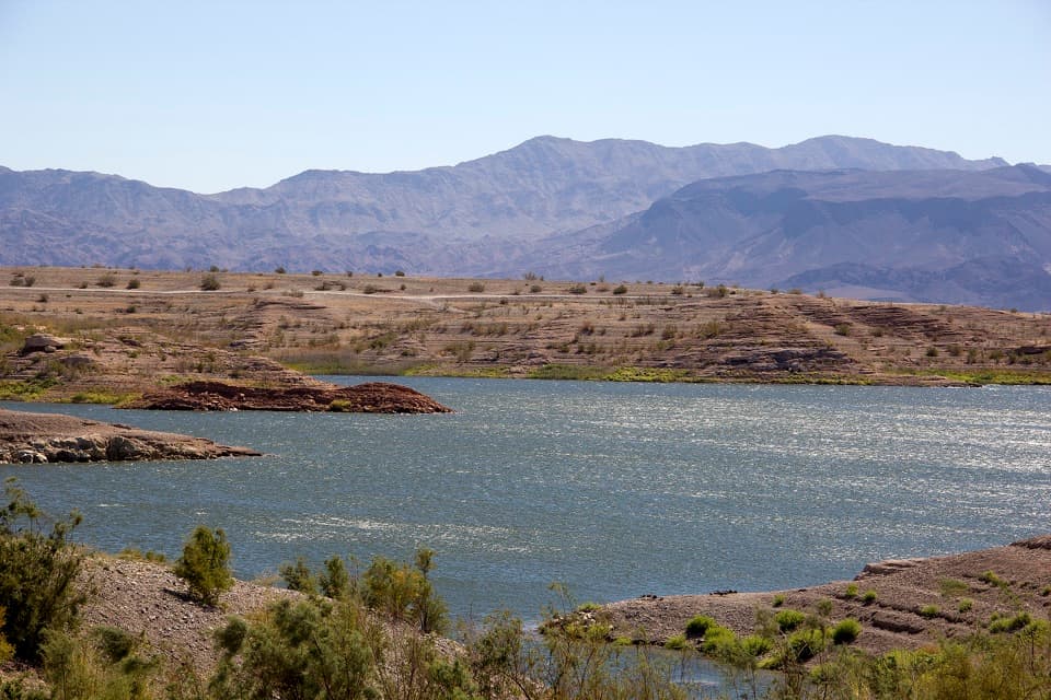
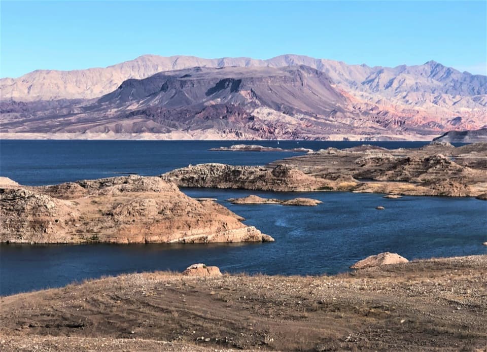
Start at the paved former boat-ramp area, pass the concrete barriers and pick up the Shoreline path marked by rocks. It crosses ground that once lay beneath Lake Mead and follows an open shelf above steep banks and mud flats. This section is exposed; the route soon leaves the shore for washes. No food or drinking-water service was found at the old marina.

White Owl CanyonWater carved tight bends into the canyon’s consolidated alluvial-fan rock, leaving sculpted…

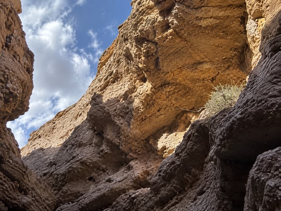
Water carved tight bends into the canyon’s consolidated alluvial-fan rock, leaving sculpted walls and short narrows. The route passes beneath Lakeshore Road through one culvert, then beneath the River Mountains Loop Trail through a pair. Whitewash and pellets under ledges can mark barn-owl roosts; keep quiet, watch from a distance and leave the birds undisturbed.

Up the washes and back through slotsAfter the double culvert, the route climbs about 1.7 miles up a shallow wash.

After the double culvert, the route climbs about 1.7 miles up a shallow wash. A couple of scrambles come first, then heavy gravel makes for a long, slow climb. A small hill at a broad wash junction has rock seating for a break. The return follows a separate, narrower drainage with more colorful walls, skirts the boulder-blocked squeeze at Corkscrew Canyon, then passes the third culvert into Hippie Canyon’s boulder maze. These wash passages are the roughest part of the walk.

Access and conditionsDrive out East Lake Mead Parkway, pass the entrance station, continue about two miles and turn…

Drive out East Lake Mead Parkway, pass the entrance station, continue about two miles and turn left onto the old marina road; follow it to the former boat ramp. The current status of this old-marina access was not confirmed on an NPS hiking page, so check with the park before driving out. This is not the 33 Hole/Owl Canyon trailhead: the separate Owl Canyon walk from 33 Hole is about 2.2 miles round trip. Avoid the slots during monsoon storms because of flash-flood risk. Pets are allowed on Lake Mead hiking trails on a leash no longer than six feet; bring water for them.

Wildlife

Wildlife in Lake Mead

All Lake Mead wildlife maps

Sighting maps show where each species has been reported across Lake Mead. Wildlife moves, so no sighting is guaranteed.

Keep exploring

Near Shoreline & White Owl Canyon Loop

See it all on the map

Trails that start nearby

Places near the trailhead

Parkwolf’s Lake Mead ranking

Top-rated trails in Lake Mead

All 42 trails
  1. 1Historic Railroad TrailEasy · 7.5 mi
  2. 2Anniversary Narrows TrailModerate · 5.8 mi
  3. 3Liberty Bell Arch TrailChallenging · 5.5 mi
  4. 4Arizona Hot Spring TrailChallenging · 5 mi
  5. 5Owl Canyon TrailModerate · 2.2 mi
  6. 6Fortification Hill TrailChallenging · 4 mi

Take Parkwolf to Lake Mead.

The audio tour guide for the drive, plus offline maps, trails, and wildlife heatmaps for when the signal drops.

4.7 from 8,600+ ratings

Download Parkwolf on the App StoreGet Parkwolf on Google Play