Parking
Use the Las Vegas Bay parking area off Lakeshore Scenic Drive by the former marina. Walk down the old marina slope and turn east near its base to reach the rock-lined shoreline path.

Lake Mead National Recreation Area, AZ · NV
Walk a rock-lined path along the bay's former shore.
Overview
Map & elevation
Plan your hike

The highest, rockiest slopes around here are a summer buffet for grizzly bears.
Lake Mead Tour Guide
Parkwolf is a GPS audio tour guide for Lake Mead National Recreation Area. As you drive, it chimes in with what’s ahead: hidden gems, upcoming stops, history, geology, and wildlife, right through your car’s speakers.
See the Lake Mead audio tourRecorded for this trailhead
Las Vegas Bay Overlook: The Wash and the City“The turnoff for Las Vegas Bay Overlook is coming up. Follow the short spur for a picnic above Las Vegas Wash, with tables and grills overlooking the desert basin.”
Plays as you drive up to this trailhead in the Parkwolf Lake Mead Tour Guide.
More stories near here in the app
“Fantastic app with many points of information… It’s great to just turn on while you’re driving and it gives you an audio tour of the national Park. We love it!!!!”


Trail guide
This is an easy 3.4-mile out-and-back along a rock-lined use path above Las Vegas Wash, from the former marina access to the shoreline's eastern end near the Owl Canyon area. Allow about 1.5 to 2 hours. Go for the open lakebed, low red bluffs and rock stacks called the Pillars, not for a waterside stroll: the path sits above steep banks and mud flats, and the waterline shifts with reservoir levels.
Walk down the former marina slope, turn east near its base and stay on the rock-marked path. It follows the bay's old edge, with a few short rises and dry-wash crossings. At the eastern end, turn back along the same corridor. Owl Canyon is a separate hike nearby; continuing into it adds a different route and is not part of this mileage. The tread is unpaved dirt and loose rock, so the easy grade still takes attention underfoot.
The trail passes the Pillars and bends above Las Vegas Wash, which carries rain and treated water from the valley toward Lake Mead. The nearby bay wetlands are habitat for great blue herons, though sightings aren't guaranteed. A narrow bend in the wash can have a small cascade when water is flowing; treat it as a bonus. Much of the old shoreline is exposed lakebed, so the balance between dry ground and open water changes over time.
There is very little shade and no water along the path, and cell service can be weak. Small slopes, loose stones, steep banks and wash crossings make the route rougher than its easy rating suggests; the washes can change after wet weather. Dogs are allowed on park hiking trails. Keep them on a leash no longer than six feet.
Wildlife
 525 sightingsBighorn SheepMost seen around 5 PMSighting map
 116 sightingsBurroMost seen around 7 PMSighting map
 18 sightingsBald EagleMost seen around 4 PMSighting map
 99 sightingsWhite PelicanMost seen around 7 AMSighting map
 145 sightingsGreat Blue HeronMost seen around 7 AMSighting map
 106 sightingsTurkey VultureMost seen around noonSighting map
Sighting maps show where each species has been reported across Lake Mead. Wildlife moves, so no sighting is guaranteed.
Keep exploring
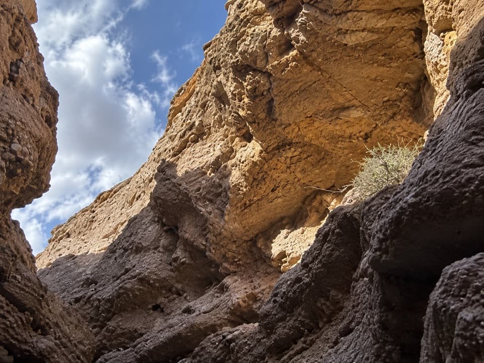 ModerateShoreline & White Owl Canyon Loop6.5 mi · 3.5 hr · 0.3 mi awayA rough loop of lakebed shore, gravel washes, and slot canyons.
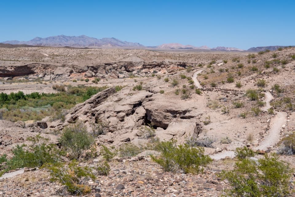 ModerateBluffs Trail2.7 mi · 2 hr · 0.9 mi awayGreen wash views and eroded bluffs just above the campground.
 ModerateOwl Canyon Trail2.2 mi · 2 hr · 1.4 mi awayA steep descent to sculpted narrows and two road crossings.
 ModerateWetlands Trail0.8 mi · 1 hr · 2 mi awayA short desert ridge walk reaches the sound of running water.
 EasySunset View Trail0.6 mi · 24 min · 2.9 mi awayA short loop with broad views over Lake Mead's Boulder Basin.
 ModerateBlack Mesa Trail3.9 mi · 3.5 hr · 6.4 mi awayA cross-country climb to Black Mesa's broad summit above Lake Mead.
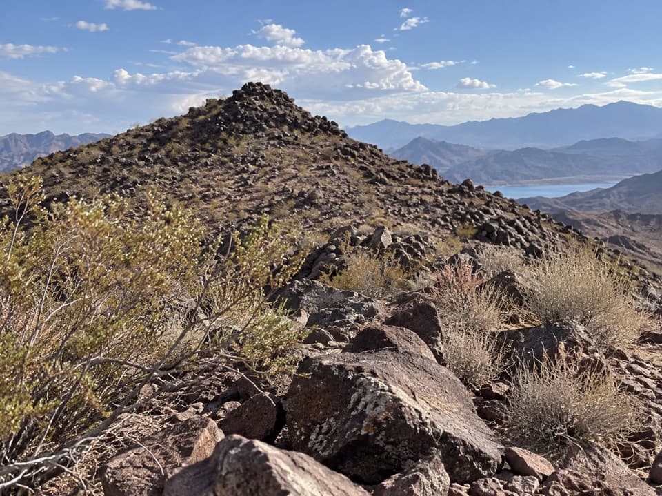 ModerateCallville Ridge Trail4.7 mi · 4 hr · 6.9 mi awayA pathless ridge to three summits and 1950s jet wreckage.
 EasyHistoric Railroad Trail7.5 mi · 3 hr · 8.4 mi awayFive dark tunnels on a railbed high above Lake Mead.
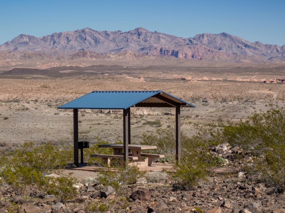 Sight · 0.1 mi awayLas Vegas Bay OverlookA blue-roofed picnic shelter frames Las Vegas Wash and desert ridges.
 Campground · 0.7 mi awayLas Vegas Bay CampgroundShaded sites and a bluff trail above Las Vegas Wash.
 Picnic area · 1.4 mi away33 Hole Scenic OverlookPicnic above Las Vegas Bay, with Owl Canyon starting nearby.
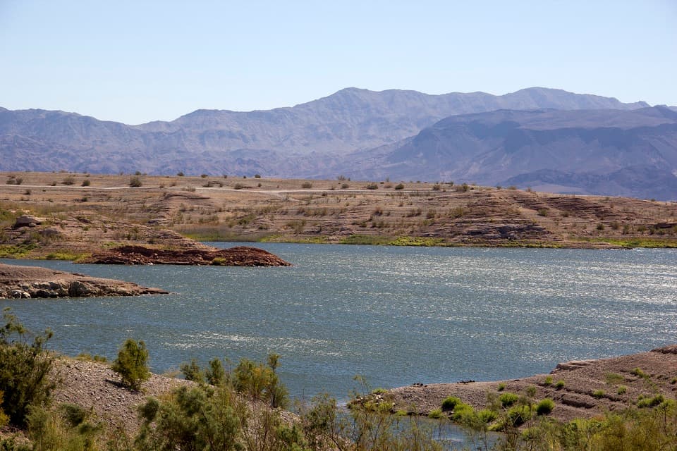 Campground · 1.9 mi awayGovernment Wash Campground and Day Use AreaCamping with small-craft lake access and no utility hookups
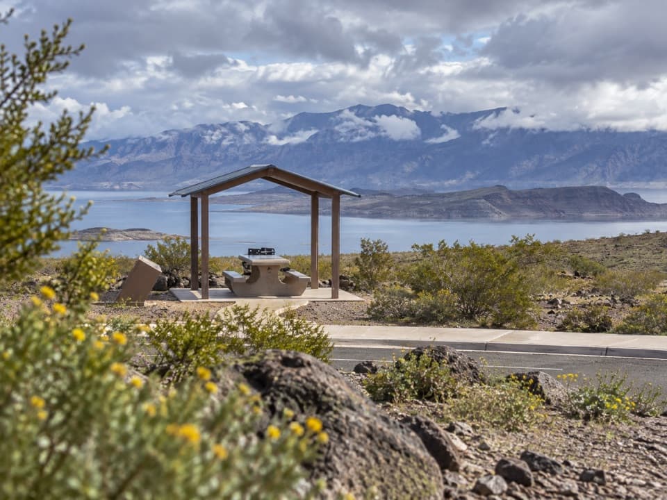 Sight · 1.9 mi awayLongview Scenic OverlookAn easy picnic stop with a wide Lake Mead view.
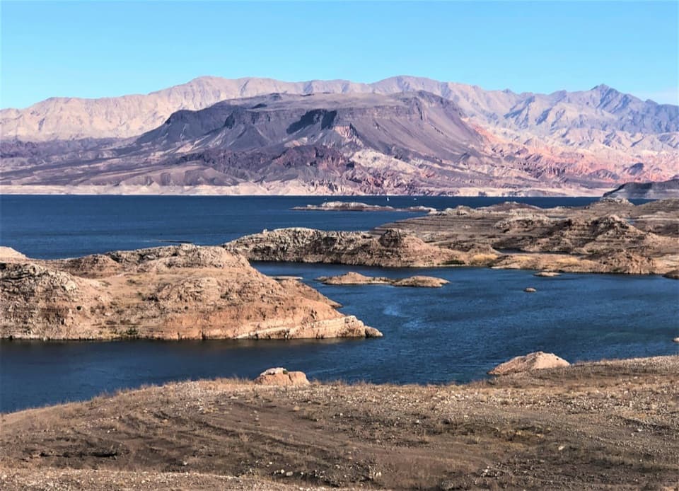 Scenic pullout · 2.9 mi awaySunset View Scenic OverlookA quick Lakeshore Road stop for a wide Lake Mead panorama.
 Beach · 6.4 mi awayBoulder BeachA rocky swim stop with volcanic cliffs across the basin.
 Beach · 6.7 mi awaySpecial Events BeachA rocky Boulder Basin beach reached by dirt road.
Parkwolf’s Lake Mead ranking

The audio tour guide for the drive, plus offline maps, trails, and wildlife heatmaps for when the signal drops.



