Parking
Start at the Mile 21.8 Trailhead on Northshore Road and leave a second vehicle at the Mile 18.2 Trailhead for the finish. The access points are 3.6 road miles apart. Parking capacity and facilities are not documented.

Lake Mead National Recreation Area, AZ · NV
A 5.4-mile wash traverse with a short climb and car shuttle.
Overview
Map & elevation
Plan your hike

The highest, rockiest slopes around here are a summer buffet for grizzly bears.
Lake Mead Tour Guide
Parkwolf is a GPS audio tour guide for Lake Mead National Recreation Area. As you drive, it chimes in with what’s ahead: hidden gems, upcoming stops, history, geology, and wildlife, right through your car’s speakers.
See the Lake Mead audio tourRecorded for this trailhead
Razorback Wash: A One-Way Wilderness Hike“You're nearing the Razorback Wash hiking access on Northshore Road. The north route crosses red mudhills and white gypsum veins in about five point four miles, taking roughly three and a half hours.”
Plays as you drive up to this trailhead in the Parkwolf Lake Mead Tour Guide.
More stories near here in the app
“Fantastic app with many points of information… It’s great to just turn on while you’re driving and it gives you an audio tour of the national Park. We love it!!!!”


Trail guide
Razorback Wash North is a 5.43-mile point-to-point route through Pinto Valley Wilderness, from Northshore Road mile 21.8 to mile 18.2. It follows the north side of Razorback Ridge into Cottonwood Wash. Leave a car at both ends; the access points are 3.6 road miles apart. Allow about 3.5 hours. Choose it if you are comfortable navigating without a maintained tread.
Cross desert pavement from the start, then choose a safe descent over low cliffs into Razorback Wash. The narrow wash winds upstream; the main channel is described as obvious for roughly 1.7 miles. An old road climbs about 80 yards to a low saddle, the route’s main uphill. From there, follow the washes downhill. About half a mile below the saddle, a low notch leads toward the separate south route; stay with the north route toward Cottonwood Wash. Pass Cottonwood Spring, then near the highway bridge look for a use-trail on the wash’s northeast side up to the Mile 18.2 finish.
Colorful mudhills and gypsum veins in red mudstone are the distinctive scenery. This is a remote wilderness route with no cell service and no maintained path to keep you on line. No potable water is verified along the way, so don’t count on Cottonwood Spring as a water stop. Flash floods can occur in dry washes during summer and fall storms; stay out when storms threaten. Pets are allowed on Lake Mead hiking trails on a leash no longer than six feet.
Wildlife
 525 sightingsBighorn SheepMost seen around 5 PMSighting map
 116 sightingsBurroMost seen around 7 PMSighting map
 18 sightingsBald EagleMost seen around 4 PMSighting map
 99 sightingsWhite PelicanMost seen around 7 AMSighting map
 145 sightingsGreat Blue HeronMost seen around 7 AMSighting map
 106 sightingsTurkey VultureMost seen around noonSighting map
Sighting maps show where each species has been reported across Lake Mead. Wildlife moves, so no sighting is guaranteed.
Keep exploring
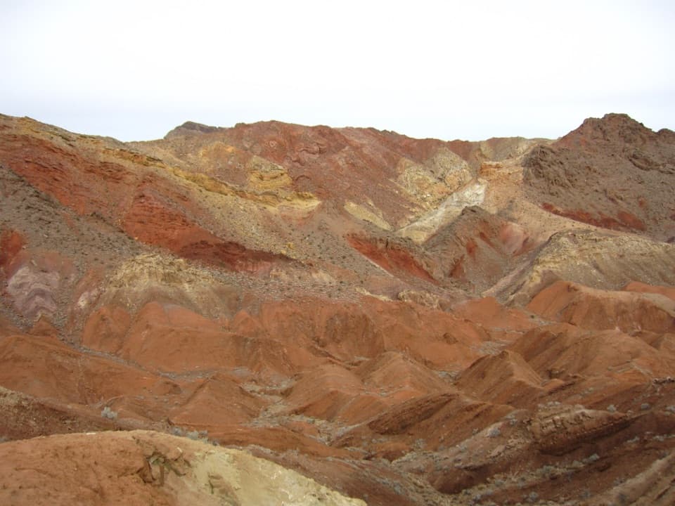 ModerateRazorback Wash South Trail6.3 mi · 5 hr · 0.7 mi awayA remote traverse through red, yellow and green mud hills.
 ChallengingNorthshore Peak East Ridge Route2.6 mi · 3 hr · 1.2 mi awayA short, exposed ridge scramble to fossil coral and lake views.
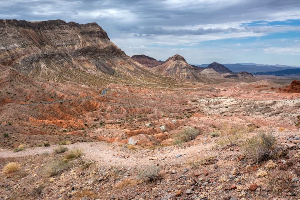 ModerateNorthshore Summit Trail0.6 mi · 1 hr · 1.2 mi awayA short loop climbs to banded desert views over Bowl of Fire.
 EasyCottonwood Spring Trail2.1 mi · 1.3 hr · 3.4 mi awayFossil ripples and a desert spring reward an easy wash walk.
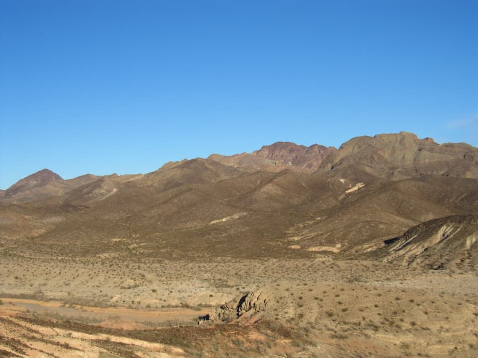 ChallengingHamblin Mountain Trail7.2 mi · 5.5 hr · 3.4 mi awayA rugged wash climb to a volcanic summit above Lake Mead.
 ModerateBowl of Fire Trail4.6 mi · 3.5 hr · 3.4 mi awayA faint desert route enters a maze of fire-red sandstone.
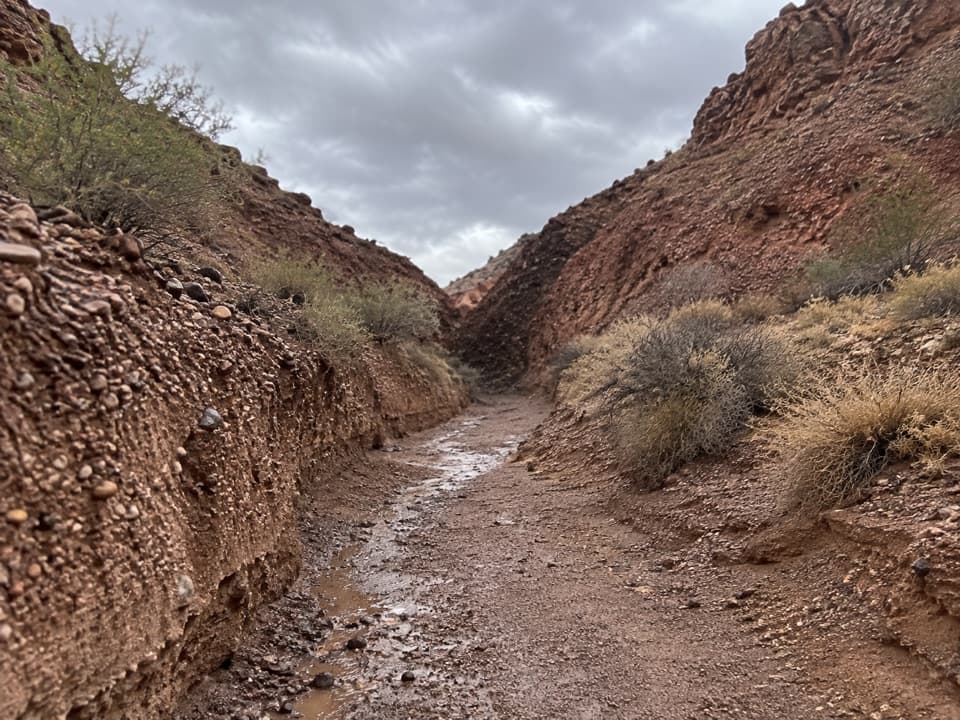 ModeratePinto Valley Route10.8 mi · 5 hr · 3.6 mi awayA 10.8-mile one-way crossing through washes, old roads, and gypsum hills.
 EasyRedstone Trail0.6 mi · 1 hr · 4.7 mi awayA short loop beside ancient dunes turned to stone.
 Picnic area · 4.7 mi awayRedstone Picnic AreaA picnic among 140-million-year-old red sandstone outcrops.
 Sight · 8.8 mi awayCallville Bay MarinaBoat rentals open a day on the lake beneath red-rock cliffs.
 Campground · 9.2 mi awayCallville Bay RV ParkFive full-hookup spaces in a marina's tiny RV village.
 Picnic area · 9.3 mi awayCallville Bay Picnic AreaEight shaded tables, grills and drinking water make lunch easy.
 Campground · 9.6 mi awayCallville Bay CampgroundA quiet desert camp base with a marina and food nearby.
Parkwolf’s Lake Mead ranking

The audio tour guide for the drive, plus offline maps, trails, and wildlife heatmaps for when the signal drops.





