Kings Creek Loop from Warner Valley in Lassen Volcanic National Park

Lassen Volcanic National Park, CA

Kings Creek Loop from Warner Valley

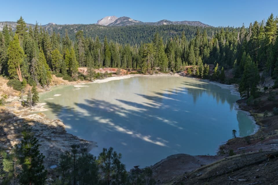
A hard loop over Flatiron Ridge, Kings Creek Falls and Bench Lake.

Photo: Wikimedia Commons
Length
10.5mi
Time
8hr
Elev. change
1,312ft
Difficulty
Challenging
  • Loop
  • No dogs
  • High point 6,978 ft

Hear the audio tour

Warner Valley and Drakesbad

Overview

About Kings Creek Loop from Warner Valley

Why go

  • One circuit links Flatiron Ridge, Kings Creek Falls and Bench Lake.
  • The climb and creek country show contrasting sides of the Warner Valley landscape.

Heads up

  • A long dry ridge, difficult creek crossing and steep waterfall tread make this a demanding day.

Map & elevation

The route

Loading the Lassen Volcanic map
Full map
Elevation5,666–6,978 ft
TrailheadWarner Valley Trailhead40.44307, -121.39737
Keep this map with you offline in the Parkwolf app

Plan your hike

Before you go

Parking

Use the public parking area west of Warner Valley Campground; do not park inside the campground. Warner Valley Road is 13 miles and partly unpaved; its last 3 miles are steep dirt, not recommended for trailers. The road is not winter-maintained, and snow can make vehicle travel inadvisable, roughly November through June.

Safety

The Flatiron Ridge stretch has no water. Kings Creek may be a difficult, unbridged crossing in high water. The steep, exposed Falls corridor includes fire-damaged forest where standing dead trees can fall.

1 active Lassen Volcanic alert

  • ClosureJuniper Lake campground and day-use area closedJuniper Lake Campground and day-use area are closed for maintenance and campground-improvement projects. - Potable water is unavailable in the campground.Official details
Lassen Volcanic alerts
A park ranger sits on a dash-mounted phone, talking, as Parkwolf’s Tour Guide plays “Army Cutworm Moths: A Grizzly Bear Buffet” on Grand Loop Road below Dunraven Pass in Yellowstone
Parkwolf Tour GuideThe highest, rockiest slopes around here are a summer buffet for grizzly bears.

Lassen Volcanic Tour Guide

Your drive to Kings Creek Loop from Warner Valley, narrated.

Parkwolf is a GPS audio tour guide for Lassen Volcanic National Park. As you drive, it chimes in with what’s ahead: hidden gems, upcoming stops, history, geology, and wildlife, right through your car’s speakers.

See the Lassen Volcanic audio tour

Recorded for this area

Warner Valley and Drakesbad
0:00 / 0:36
“You're coming up on the Warner Valley trailhead, a starting point for meadow walks and hydrothermal hikes.”

Plays near this trailhead in the Parkwolf Lassen Volcanic Tour Guide.

More stories near here in the app

  • The Lake That Became a Meadow
  • How Rock Becomes Mud
  • A Dragonfly’s Life Before Flight
  • From Snow to Steam
  • 45 audio storiesacross Lassen Volcanic’s roads, triggered by GPS as you drive
  • Wildlife heatmapsfor Black Bear, Bald Eagle, Mule Deer, and 13 more
  • Works offlinemaps, 59 trails, 56 places, and audio download before you lose signal
  • CarPlay readysimple controls built for the drive
★★★★★
“Fantastic app with many points of information… It’s great to just turn on while you’re driving and it gives you an audio tour of the national Park. We love it!!!!”
JMJamesApp Store review
Download Parkwolf on the App StoreGet Parkwolf on Google Play

4.7 from 8,600+ ratings

Trail guide

Hiking Kings Creek Loop from Warner Valley

The long loopThis is a demanding loop from Warner Valley to Flatiron Ridge, Kings Creek Falls and Bench Lake.

This is a demanding loop from Warner Valley to Flatiron Ridge, Kings Creek Falls and Bench Lake. The route map gives 10.5 miles and about 1,950 feet of climbing; a line traced along mapped paths measures closer to 9.3 miles, so treat the distance as approximate and plan for the longer full-day outing. Budget roughly 7–9 hours for steep grades, rough footing and stops.

Before you goA sustained climb reaches a long, waterless ridge before the creek and waterfall section.

A sustained climb reaches a long, waterless ridge before the creek and waterfall section. Carry the water you need before leaving the valley. Kings Creek is crossed near mile 3.7; the crossing can be difficult in high water, and descriptions disagree about whether a bridge is there. Do not count on a bridge. The Falls-side tread is steep and sun-exposed, with fire-damaged forest and standing dead trees nearby. Pets are prohibited on park hiking trails; service animals are exempt.

Warner Valley to the ridgeStart at the public parking area west of Warner Valley Campground, not inside the campground.

Start at the public parking area west of Warner Valley Campground, not inside the campground. Switchbacks climb toward Flatiron Ridge, whose open, dry stretch is the route’s main sustained effort. The loop reaches roughly 7,000 feet before dropping toward Kings Creek.

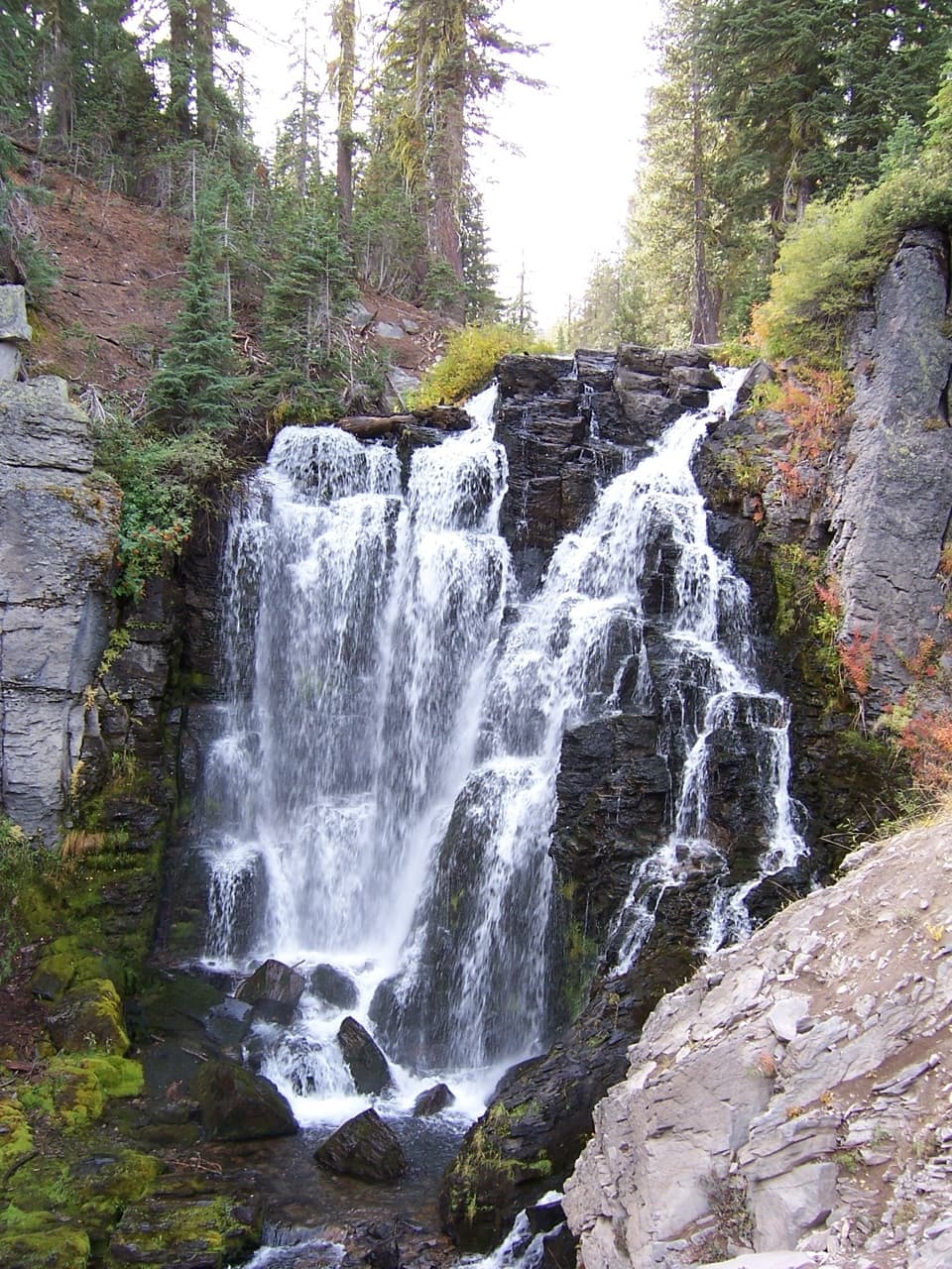
Kings Creek and the fallsThe crossing is followed by creekside trail and cascades on the way to Kings Creek Falls.

The crossing is followed by creekside trail and cascades on the way to Kings Creek Falls. Expect steep, rocky footing around the waterfall corridor and sun on much of the route. On the return, the trail drops through open forest, which can feel hot. For a shorter waterfall outing, the separate roadside hike to Kings Creek Falls is listed at 2.8 miles round trip; it is not this Warner Valley loop.

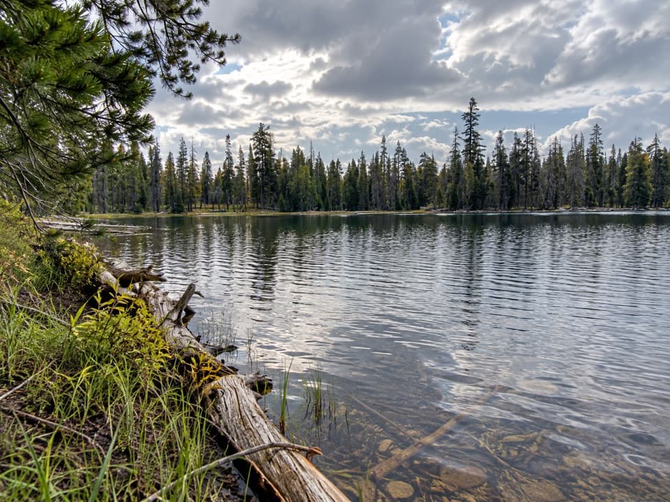
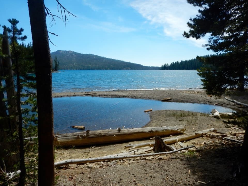
Bench Lake and the returnThe circuit continues by Bench Lake before bending back toward Warner Valley.

The circuit continues by Bench Lake before bending back toward Warner Valley. The lake can shrink or dry late in the season, so do not count on it as a water source. Meadows and streams give way to a long return through open forest.

A glacial landscapeIce-age glaciers flowing from the Lassen Peak area shaped Kings Creek Meadows, Flatiron Ridge…

Ice-age glaciers flowing from the Lassen Peak area shaped Kings Creek Meadows, Flatiron Ridge and Warner Valley. The route’s climb from valley to ridge and back through creek country makes that glacial landscape easy to read as you hike.

Wildlife

Wildlife in Lassen Volcanic

All Lassen Volcanic wildlife maps

Sighting maps show where each species has been reported across Lassen Volcanic. Wildlife moves, so no sighting is guaranteed.

Keep exploring

Near Kings Creek Loop from Warner Valley

See it all on the map

Trails that start nearby

Places near the trailhead

Parkwolf’s Lassen Volcanic ranking

Top-rated trails in Lassen Volcanic

All 59 trails
  1. 1Lassen Peak TrailChallenging · 5 mi
  2. 2Cinder Cone TrailChallenging · 4 mi
  3. 3Bumpass Hell TrailModerate · 3 mi
  4. 4Brokeoff Mountain TrailChallenging · 7.4 mi
  5. 5Kings Creek Falls TrailModerate · 2.8 mi
  6. 6Manzanita Lake LoopEasy · 1.8 mi

Take Parkwolf to Lassen Volcanic.

The audio tour guide for the drive, plus offline maps, trails, and wildlife heatmaps for when the signal drops.

4.7 from 8,600+ ratings

Download Parkwolf on the App StoreGet Parkwolf on Google Play