Drake Lake Trail in Lassen Volcanic National Park

Lassen Volcanic National Park, CA

Drake Lake Trail

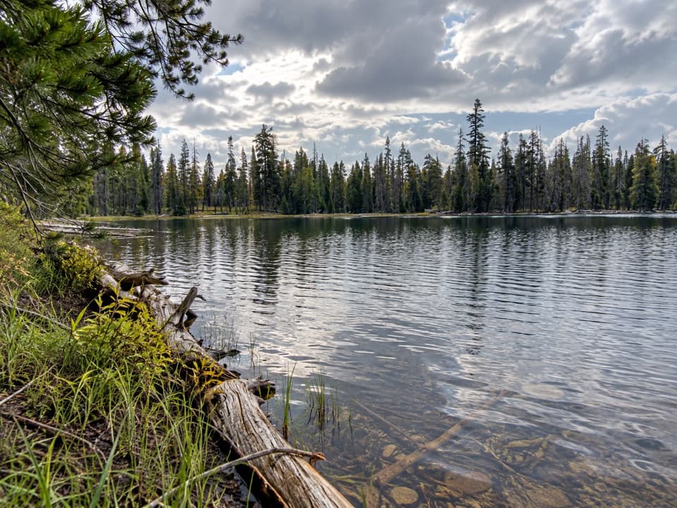
Steep switchbacks climb from a meadow to a quiet forest lake.

Length
5mi
Time
3.5hr
Elev. change
856ft
Difficulty
Moderate
  • No dogs
  • High point 6,522 ft

Hear the audio tour

Warner Valley and Drakesbad

Overview

About Drake Lake Trail

Why go

  • Quiet lake ringed by conifers
  • Broad Warner Valley and Lassen views from the switchbacks

Heads up

  • A steep climb gains more than 500 feet in half a mile
  • Narrow forest tread can be hard to follow

Map & elevation

The route

Loading the Lassen Volcanic map
Full map
Elevation5,666–6,522 ft
TrailheadWarner Valley Day Use Area / PCT Trailhead40.44307, -121.39737
Keep this map with you offline in the Parkwolf app

Plan your hike

Before you go

Parking

Park at Warner Valley Day Use Area at the east end of Warner Valley; the trailhead is beside the lot and picnic area. The final three miles of access road are steep dirt and not recommended for trailers. The area is seasonal, generally June through October, and an entrance fee receipt or pass is required.

Best time to go

Start at Warner Valley Day Use Area at the east end of Warner Valley. The lot has a vault or composting toilet, drinking water and picnic tables. The access road is seasonal: the area is generally open June through October, with the road closed in winter and spring. Its final three miles are steep dirt road and are not recommended for trailers; an entrance fee receipt or pass is required. Cell service is unavailable here.

Safety

The half-mile lake climb gains more than 500 feet, and the forest tread can be faint at junctions. The park warns that standing dead trees in the 2021 Dixie Fire area can fall without warning.

1 active Lassen Volcanic alert

  • ClosureJuniper Lake campground and day-use area closedJuniper Lake Campground and day-use area are closed for maintenance and campground-improvement projects. - Potable water is unavailable in the campground.Official details
Lassen Volcanic alerts
A park ranger sits on a dash-mounted phone, talking, as Parkwolf’s Tour Guide plays “Army Cutworm Moths: A Grizzly Bear Buffet” on Grand Loop Road below Dunraven Pass in Yellowstone
Parkwolf Tour GuideThe highest, rockiest slopes around here are a summer buffet for grizzly bears.

Lassen Volcanic Tour Guide

Your drive to Drake Lake Trail, narrated.

Parkwolf is a GPS audio tour guide for Lassen Volcanic National Park. As you drive, it chimes in with what’s ahead: hidden gems, upcoming stops, history, geology, and wildlife, right through your car’s speakers.

See the Lassen Volcanic audio tour

Recorded for this area

Warner Valley and Drakesbad
0:00 / 0:36
“You're coming up on the Warner Valley trailhead, a starting point for meadow walks and hydrothermal hikes.”

Plays near this trailhead in the Parkwolf Lassen Volcanic Tour Guide.

More stories near here in the app

  • The Lake That Became a Meadow
  • How Rock Becomes Mud
  • A Dragonfly’s Life Before Flight
  • From Snow to Steam
  • 45 audio storiesacross Lassen Volcanic’s roads, triggered by GPS as you drive
  • Wildlife heatmapsfor Black Bear, Bald Eagle, Mule Deer, and 13 more
  • Works offlinemaps, 59 trails, 56 places, and audio download before you lose signal
  • CarPlay readysimple controls built for the drive
★★★★★
“Fantastic app with many points of information… It’s great to just turn on while you’re driving and it gives you an audio tour of the national Park. We love it!!!!”
JMJamesApp Store review
Download Parkwolf on the App StoreGet Parkwolf on Google Play

4.7 from 8,600+ ratings

Trail guide

Hiking Drake Lake Trail

The routeDrake Lake is a moderate out-and-back from Warner Valley Day Use Area, about 5 miles round trip…

Drake Lake is a moderate out-and-back from Warner Valley Day Use Area, about 5 miles round trip and roughly 3 to 4 hours. It starts on the Pacific Crest Trail through meadow, then takes quieter forest tread and a steep switchback climb to a small lake ringed by conifers. The park rounds the walk to 5 miles; the mapped corridor measures about 4.7 miles for the return, so treat the distance as approximate.

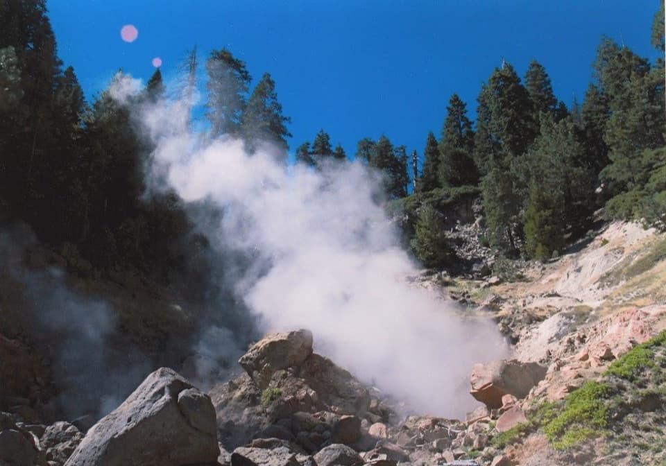
Meadow and creekThe opening stretch crosses Warner Valley meadow and follows Hot Springs Creek.

The opening stretch crosses Warner Valley meadow and follows Hot Springs Creek. It crosses the creek on a wooden bridge at about four-tenths of a mile, then passes a small mineral-colored tributary. Stay on the Pacific Crest Trail until the Drake Lake junction.

Finding the lake routeThe Drake Lake path is narrower and quieter under the trees, and sections can blend into the…

The Drake Lake path is narrower and quieter under the trees, and sections can blend into the forest. Around 1.7 miles from the start, take the lake-bound fork. The route climbs more than 500 feet in about half a mile on switchbacks; it is the hike’s hardest stretch. Follow the main tread as the grade eases near the top, then continue the final quarter-mile toward the lake.

Views and destinationThe open switchbacks reveal Warner Valley, Mount Harkness and Lassen Peak.

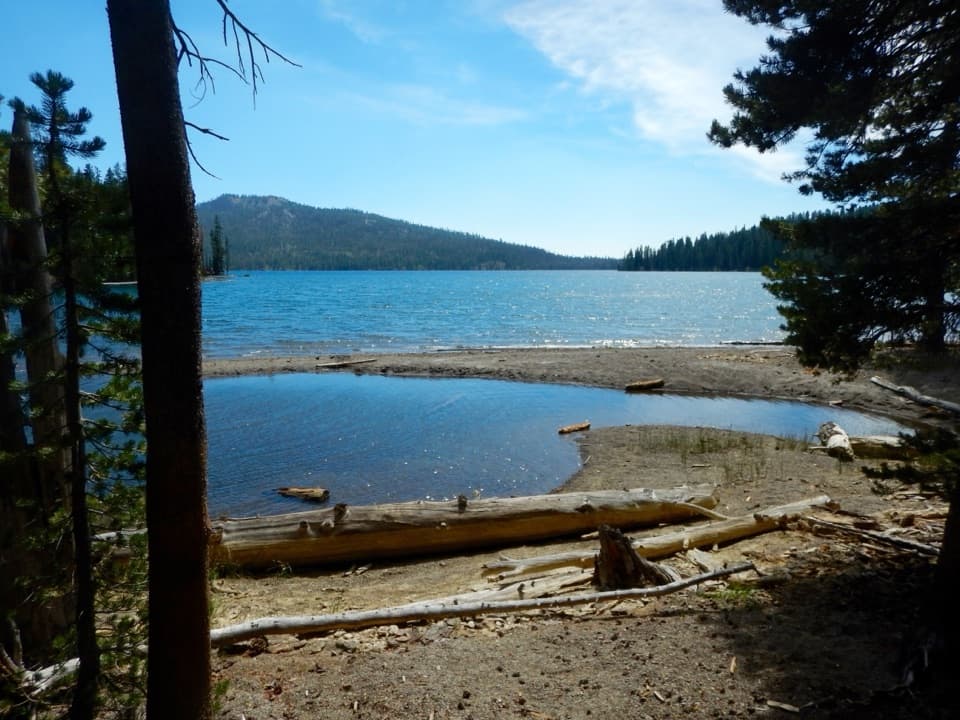
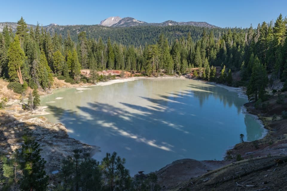
The open switchbacks reveal Warner Valley, Mount Harkness and Lassen Peak. Drake Lake is a quiet, forested stop rather than a high alpine basin. The mapped route ends in the lake’s vicinity, about 35 meters from the nearest mapped shoreline point; look for the short continuation on the ground to reach the water.

Rules and hazardsPets are not allowed on park hiking trails; service animals are excepted.

Pets are not allowed on park hiking trails; service animals are excepted. The park warns that standing dead trees in the 2021 Dixie Fire area can fall without warning. The faint forest tread and steep half-mile climb call for attention. The longer 5.5-mile stem-and-loop is a different option and includes an unbridged Hot Springs Creek crossing; this route returns by the way it came.

Wildlife

Wildlife in Lassen Volcanic

All Lassen Volcanic wildlife maps

Sighting maps show where each species has been reported across Lassen Volcanic. Wildlife moves, so no sighting is guaranteed.

Keep exploring

Near Drake Lake Trail

See it all on the map

Trails that start nearby

Places near the trailhead

Parkwolf’s Lassen Volcanic ranking

Top-rated trails in Lassen Volcanic

All 59 trails
  1. 1Lassen Peak TrailChallenging · 5 mi
  2. 2Cinder Cone TrailChallenging · 4 mi
  3. 3Bumpass Hell TrailModerate · 3 mi
  4. 4Brokeoff Mountain TrailChallenging · 7.4 mi
  5. 5Kings Creek Falls TrailModerate · 2.8 mi
  6. 6Manzanita Lake LoopEasy · 1.8 mi

Take Parkwolf to Lassen Volcanic.

The audio tour guide for the drive, plus offline maps, trails, and wildlife heatmaps for when the signal drops.

4.7 from 8,600+ ratings

Download Parkwolf on the App StoreGet Parkwolf on Google Play