Parking
Use the Warner Valley Trailhead parking area west of Warner Valley Campground. The Warner Valley approach is partly unpaved; the National Park Service does not recommend trailers on the road.

Lassen Volcanic National Park, CA
An easy three-mile walk to steaming water and lakeside mudpots.
Overview
Map & elevation
Plan your hike

The highest, rockiest slopes around here are a summer buffet for grizzly bears.
Lassen Volcanic Tour Guide
Parkwolf is a GPS audio tour guide for Lassen Volcanic National Park. As you drive, it chimes in with what’s ahead: hidden gems, upcoming stops, history, geology, and wildlife, right through your car’s speakers.
See the Lassen Volcanic audio tourRecorded for this trailhead
Warner Valley and Drakesbad“You're coming up on the Warner Valley trailhead, a starting point for meadow walks and hydrothermal hikes.”
Plays as you drive up to this trailhead in the Parkwolf Lassen Volcanic Tour Guide.
More stories near here in the app
“Fantastic app with many points of information… It’s great to just turn on while you’re driving and it gives you an audio tour of the national Park. We love it!!!!”


Trail guide
Boiling Springs Lake Trail is a 3-mile round trip from Warner Valley: a short connector to the Pacific Crest Trail, a meadow-and-forest approach, and a circuit at the steaming lake before you return. The park lists an easy climb of about 200 feet and estimates two hours. This is a good choice when you want a close look at Lassen’s hydrothermal landscape without a long summit climb; the lake, rather than a big viewpoint, is the payoff.
Start at Warner Valley Trailhead and take the short connector to the Pacific Crest Trail. Follow the Boiling Springs Lake signs at the junctions shared with Devil’s Kitchen and Drake Lake; those are separate hikes. At the lake, stay on its circuit until it rejoins the PCT, then return to Warner Valley along the shared approach. Don’t continue toward Terminal Geyser unless you want a much longer outing; that extension is a different route.
The trail crosses an open meadow before entering forest. The grade is easy, but this is still natural tread, with a Hot Springs Creek crossing and smaller seasonal channels; low spots can be muddy during snowmelt. Much of the route is sun-exposed. Look for incense cedar, ponderosa pine, Douglas-fir, white fir, and sugar pine along the way, with wildflowers and birds in the meadow.
Steam vents beneath Boiling Springs Lake keep it around 125°F. The southeast shore has mudpots and steam vents, and the water’s pale mineral color stands out against the reddish ground. Rain and snow seep underground and heat above the hot rock beneath Lassen Peak; the steam, hot water, and bubbling mud are signs of an active volcanic system. From the higher southern shore, the lake and Lassen Peak make the defining view. Keep your feet on the marked path while you stop to look.
The Warner Valley approach follows a long, partly unpaved road; trailers are not recommended. Dogs are not allowed on hiking trails in the park. The Dixie Fire left standing dead trees that can fall without warning, and the ground around hydrothermal features is unstable and scalding. Stay on the marked trail and out of closed-off thermal ground.
Wildlife
 103 sightingsBlack BearMost seen around 7 PMSighting map
 44 sightingsBald EagleMost seen around 7 AMSighting map
 348 sightingsMule DeerMost seen around 7 PMSighting map
 17 sightingsSandhill CraneMost seen around 6 AMSighting map
 47 sightingsGreat Blue HeronMost seen around 7 AMSighting map
 12 sightingsGreat EgretMost seen around 7 AMSighting map
Sighting maps show where each species has been reported across Lassen Volcanic. Wildlife moves, so no sighting is guaranteed.
Keep exploring
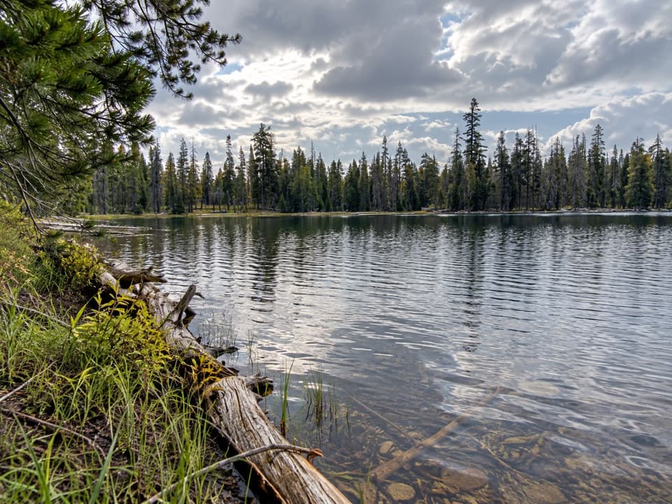 ModerateDrake Lake Trail5 mi · 3.5 hr · At the trailheadSteep switchbacks climb from a meadow to a quiet forest lake.
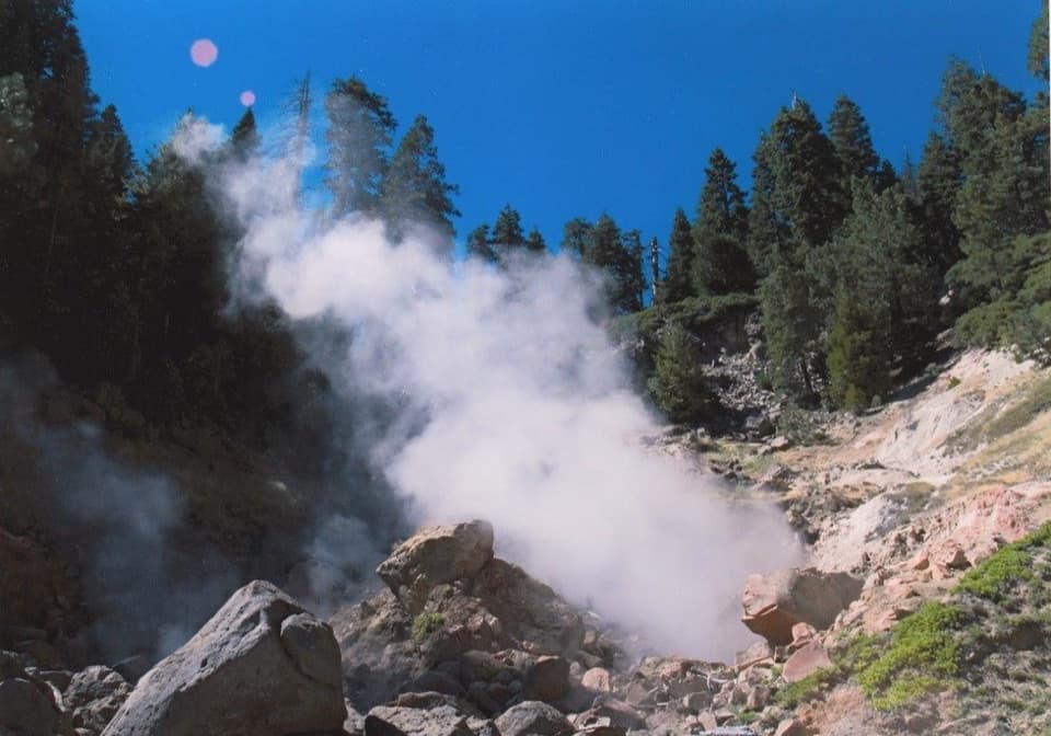 ModerateTerminal Geyser Trail5.8 mi · 2.8 hr · At the trailheadA forest climb ends at a steam plume in Willow Creek’s canyon.
 ChallengingKings Creek Loop from Warner Valley10.5 mi · 8 hr · At the trailheadA hard loop over Flatiron Ridge, Kings Creek Falls and Bench Lake.
 EasyDream Lake Basin Trail1.5 mi · 45 min · At the trailheadA former lake basin threaded by springs and meadow plants.
 ModerateDevils Kitchen Trail4.2 mi · 2.5 hr · 0.2 mi awayA meadow walk to a bubbling, steam-filled volcanic basin.
 ModerateLittle Willow Lake to Terminal Geyser Trail3.2 mi · 2.3 hr · 2.4 mi awayA lakeside fen leads to a steam vent in the woods.
 ChallengingPacific Crest Trail through Lassen Volcanic19.1 mi · 10 hr · 2.5 mi awayA true PCT crossing strings together remote lakes and forest.
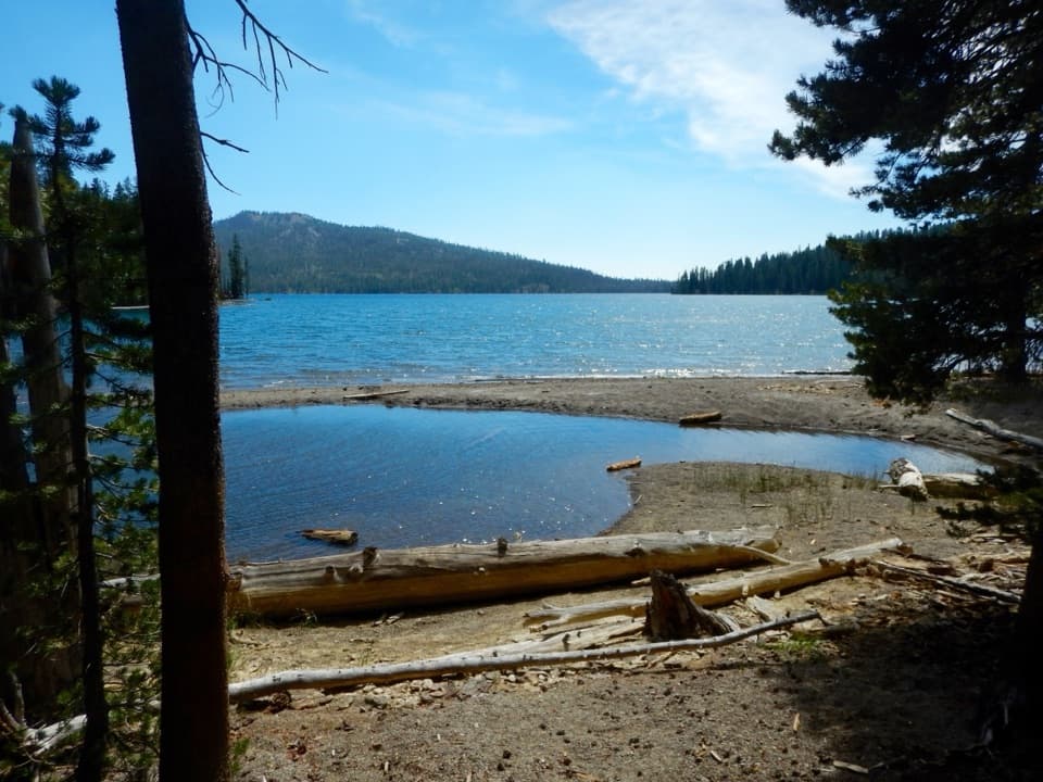 ChallengingKings Gorge Loop16.8 mi · 13 hr · 3.4 mi awayA long loop links Juniper Lake, wet meadows and a deep gorge.
 Campground · 0.2 mi awayWarner Valley CampgroundA remote, wooded base for Warner Valley's trail network.
 Picnic area · 0.2 mi awayWarner Valley Day Use AreaA trailhead picnic stop for Lassen's hydrothermal corner.
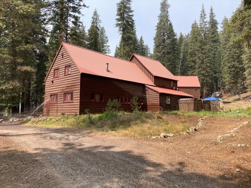 Lodging · 0.4 mi awayDrakesbad Guest RanchA remote Warner Valley base for meals, lodging, and nearby hikes
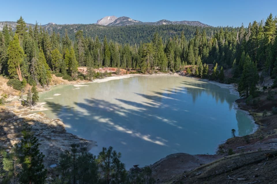 Sight · 0.5 mi awayBoiling Springs LakeA warm, milky lake ringed by steam and bubbling mudpots.Sight · 1.8 mi awayTerminal GeyserA creekside steam vent at the end of a long hike.Sight · 2 mi awayDevils KitchenBubbling pools and steam after a longer Warner Valley hike.
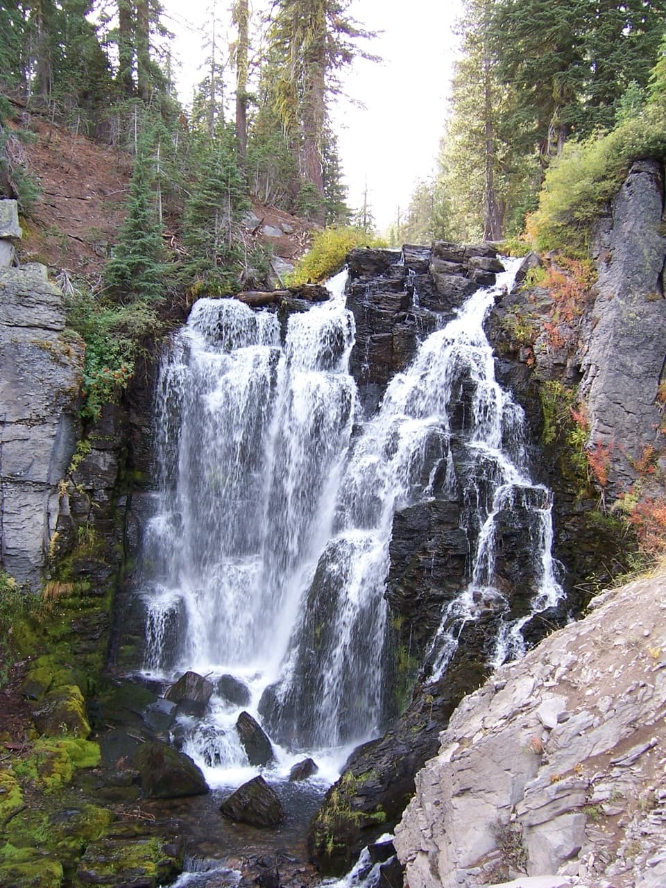 Sight · 2.6 mi awayKings Creek FallsThe creekside stone steps are half the payoff.
 Campground · 3.6 mi awaySummit Lake South CampgroundA short lake walk and dark skies define this tent campground.
Parkwolf’s Lassen Volcanic ranking

The audio tour guide for the drive, plus offline maps, trails, and wildlife heatmaps for when the signal drops.




