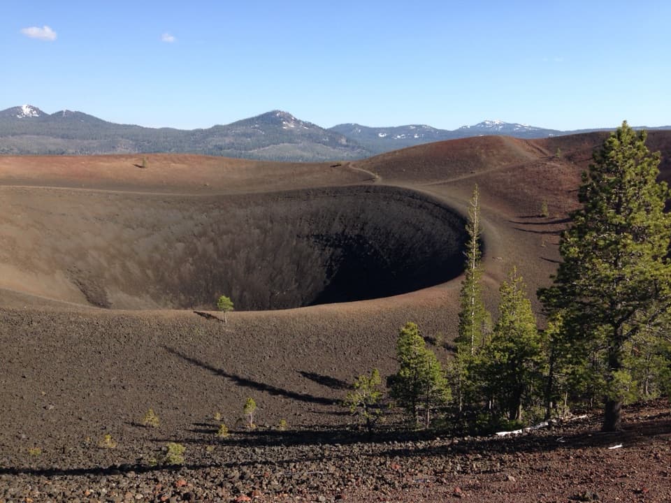
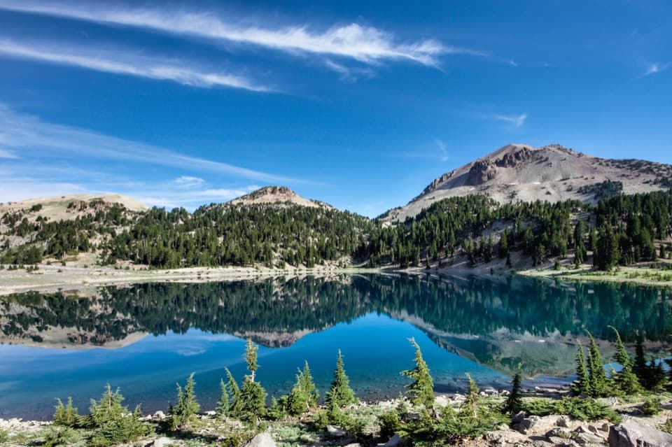
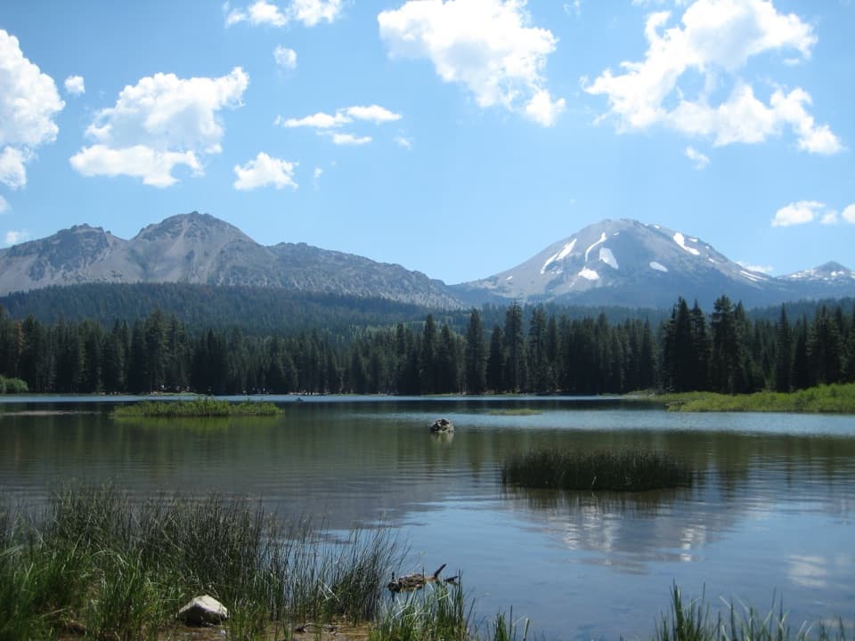
Ridge Lakes in Lassen Volcanic National Park

Sight · Lassen Volcanic National Park

Ridge Lakes

Two alpine lakes at the end of a short, steep climb.

Photo: National Park Service
Type
Sight
Nearest trail
0.8 mi
Audio stories
7 nearby
  • Trailhead
  • Parking
  • Restrooms

Hear the audio tour

Sulphur Works: Boiling Mud Beside the Road

Overview

About Ridge Lakes

Why stop

  • A quiet alpine basin framed by two volcanic peaks.

Heads up

  • A sustained climb packs 1,045 feet of gain into a mile.

Map

Where it is

Loading the Lassen Volcanic map
Full map
SightRidge Lakes40.45572, -121.54823
Keep this map with you offline in the Parkwolf app

Plan your stop

Before you go

1 active Lassen Volcanic alert

  • ClosureJuniper Lake campground and day-use area closedJuniper Lake Campground and day-use area are closed for maintenance and campground-improvement projects. - Potable water is unavailable in the campground.Official details

Lassen Volcanic alerts
A park ranger sits on a dash-mounted phone, talking, as Parkwolf’s Tour Guide plays “Army Cutworm Moths: A Grizzly Bear Buffet” on Grand Loop Road below Dunraven Pass in Yellowstone
Parkwolf Tour GuideThe highest, rockiest slopes around here are a summer buffet for grizzly bears.

Lassen Volcanic Tour Guide

Your drive to Ridge Lakes, narrated.

Parkwolf is a GPS audio tour guide for Lassen Volcanic National Park. As you drive, it chimes in with what’s ahead: hidden gems, upcoming stops, history, geology, and wildlife, right through your car’s speakers.

See the Lassen Volcanic audio tour

Recorded for this place

Sulphur Works: Boiling Mud Beside the Road
0:00 / 0:32
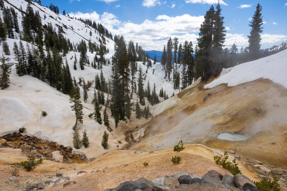
“Sulphur Works is coming up, and this is the easy choice for seeing boiling mud without a hike. A paved, wheelchair-accessible sidewalk takes you past steam vents and yellow and orange mineral stains.”

Plays as you drive up to Ridge Lakes in the Parkwolf Lassen Volcanic Tour Guide.

More stories near here in the app

  • Little Hot Springs Valley: Vents and Spring Grass
  • Kohm Yah-mah-nee Visitor Center and Café
  • Diamond Peak Scenic Vista: Valley Views and Eagles
  • Emerald Lake: Green Shallows Beside the Road
  • 45 audio storiesacross Lassen Volcanic’s roads, triggered by GPS as you drive
  • Wildlife heatmapsfor Black Bear, Bald Eagle, Mule Deer, and 13 more
  • Works offlinemaps, 59 trails, 56 places, and audio download before you lose signal
  • CarPlay readysimple controls built for the drive
★★★★★
“Fantastic app with many points of information… It’s great to just turn on while you’re driving and it gives you an audio tour of the national Park. We love it!!!!”
JMJamesApp Store review
Download Parkwolf on the App StoreGet Parkwolf on Google Play

4.7 from 8,600+ ratings

Guide

More about Ridge Lakes

A steep route to two small lakesRidge Lakes are two small alpine lakes in a glacial basin between Brokeoff Mountain and Mount…

Ridge Lakes are two small alpine lakes in a glacial basin between Brokeoff Mountain and Mount Diller. The out-and-back hike from Sulphur Works is only 2 miles round trip, but rises 1,045 feet to about 8,000 feet. The park estimates 1 to 1.5 hours. Go for a tucked-away high-country basin; this is a lot of uphill for anyone hoping for an easy lakeside stop.

What the climb is likeThe marked trail starts beside the Sulphur Works parking area and climbs almost immediately.

The marked trail starts beside the Sulphur Works parking area and climbs almost immediately. Open slopes with wildflowers give way to forest and steep switchbacks. The grade continues on the way back down, where footing can be slick. At this elevation, snow can linger into summer; check the park's trail conditions before an early-season hike.

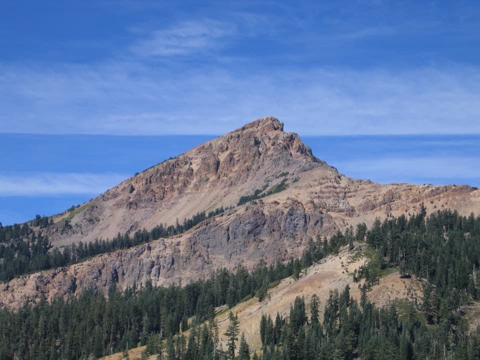
A bowl carved by iceThe lakes sit in a glacial cirque between Brokeoff Mountain and Mount Diller.

The lakes sit in a glacial cirque between Brokeoff Mountain and Mount Diller. Glaciers cut into the much larger Mount Tehama volcanic edifice, leaving Brokeoff as one of its most prominent remnants. The basin is a good place to see how the park's volcanic peaks and later glaciation shaped the same landscape.

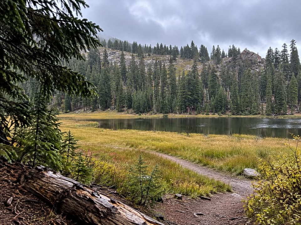
Look across the waterDepending on water level, the two lakes can appear connected or read as separate pools.

Depending on water level, the two lakes can appear connected or read as separate pools. From the shore, include both the water and the enclosing slopes in a photo; Brokeoff Mountain and Mount Diller give the basin its shape.

Start at Sulphur WorksThe trailhead is on the north side of the Sulphur Works parking area, about 1.

The trailhead is on the north side of the Sulphur Works parking area, about 1.1 miles past the southwest entrance. Restrooms are by the trailhead. For food and drinking water, the park lists Kohm Yah-mah-nee Visitor Center about a mile south, a separate stop from the lakes.

Wildlife

Wildlife in Lassen Volcanic

All Lassen Volcanic wildlife maps

Sighting maps show where each species has been reported across Lassen Volcanic. Wildlife moves, so no sighting is guaranteed.

Keep exploring

Near Ridge Lakes

See it all on the map

Trails nearby

More stops nearby

Parkwolf’s Lassen Volcanic ranking

Top sights in Lassen Volcanic

All 56 places
  1. 1Bumpass HellSight
  2. 2Lassen PeakSight
  3. 3Sulphur WorksSight
  4. 4Cinder ConeSight
  5. 5Lake HelenSight
  6. 6Manzanita LakeSight

Take Parkwolf to Lassen Volcanic.

The audio tour guide for the drive, plus offline maps, trails, and wildlife heatmaps for when the signal drops.

4.7 from 8,600+ ratings

Download Parkwolf on the App StoreGet Parkwolf on Google Play