Tabletop Track: Wangi Falls to Walker Creek in Litchfield National Park

Litchfield National Park, NT

Tabletop Track: Wangi Falls to Walker Creek

A rugged two-day Tabletop crossing with waterfalls and long dry stretches.

Length
20.2km
Time
12hr
Elev. change
178m
Difficulty
Challenging
  • No dogs
  • High point 210 m

Hear the audio tour

Wangi Falls

Overview

About Tabletop Track: Wangi Falls to Walker Creek

Why go

  • A distinct point-to-point slice of Litchfield’s longer Tabletop circuit
  • Tjenya Falls, pandanus-lined creeks and broad escarpment views

Heads up

  • 20.2 km of rough, hilly walking is a two-day undertaking
  • A long gap between reliable water and an overnight booking

Map & elevation

The route

Loading the Litchfield map
Full map
Elevation32–210 m
TrailheadWangi Falls Carpark-13.16253, 130.68225
Keep this map with you offline in the Parkwolf app

Plan your hike

Before you go

Parking

Start at Wangi Falls Carpark and finish at Walker Creek Carpark. This is point-to-point, not a return loop, so leave a second vehicle at the far end or arrange a pickup. Wangi Falls has a picnic area and toilets. Book the overnight walk and campsite before setting out.

Best time to go

The walking season is usually June to September, and temporary safety or management closures can occur. Wangi Falls has a car park, picnic area and toilets at the start. Book and pay for the overnight walk and campsite before setting out; most visitors also need a Park Pass (Northern Territory residents are exempt). The route ends at Walker Creek, so arrange a pickup or leave another vehicle rather than planning on a circular return. Pets aren't permitted; assistance animals are exempt.

Safety

Hot, exposed rocky ground, steep sections and limited directional signs. Tjenya Falls is followed by about 16 km without reliable water unless you detour to Walker Creek; treat surface water and do not rely on Northern Campground for water. Saltwater and freshwater crocodiles inhabit the park; heed water warnings.

3 active Litchfield alerts

  • ClosureTabletop Track closedMentions Tabletop Track, referenced in this guideThe Tabletop Track is closed because an Excess Heat Warning is in effect and there is no accessible drinking water. - Permit access only; do not plan an unpermitted walk on the track.Official details
  • CautionReynolds River Track: deep water crossingsThe Reynolds River Track is open to 4WDs only, but rough conditions and water crossings about 500–600 mm deep require care.Official details
See all 3 alerts
A park ranger sits on a dash-mounted phone, talking, as Parkwolf’s Tour Guide plays “Army Cutworm Moths: A Grizzly Bear Buffet” on Grand Loop Road below Dunraven Pass in Yellowstone
Parkwolf Tour GuideThe highest, rockiest slopes around here are a summer buffet for grizzly bears.

Litchfield Tour Guide

Your drive to Tabletop Track: Wangi Falls to Walker Creek, narrated.

Parkwolf is a GPS audio tour guide for Litchfield National Park. As you drive, it chimes in with what’s ahead: hidden gems, upcoming stops, history, geology, and wildlife, right through your car’s speakers.

Recorded for this area

Wangi Falls
0:00 / 0:37
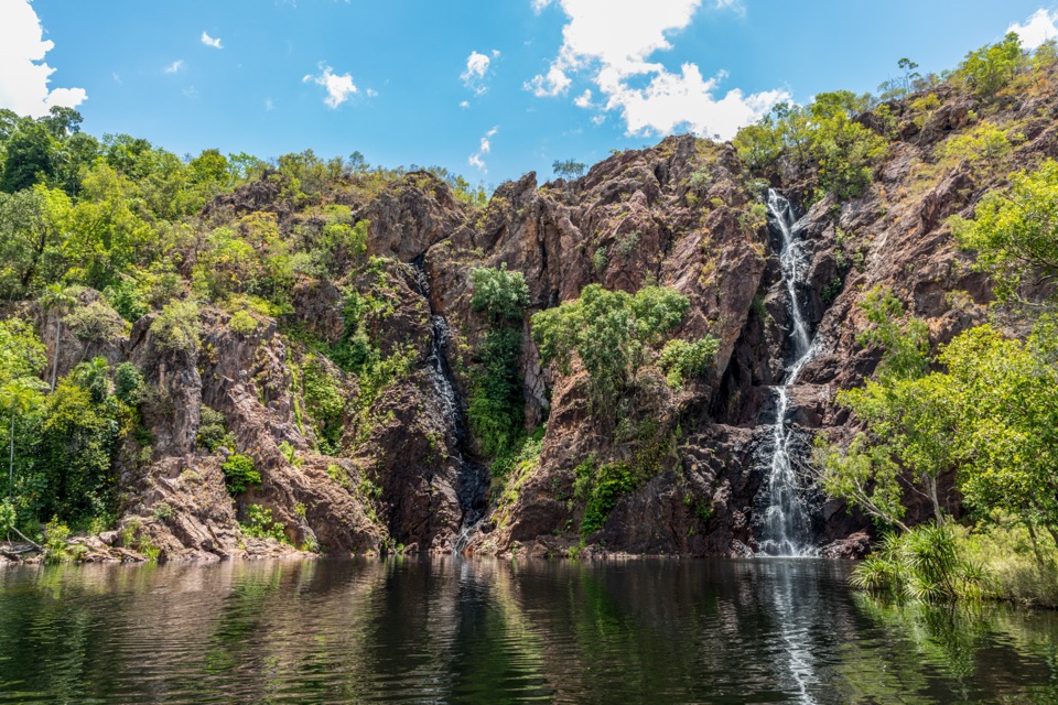
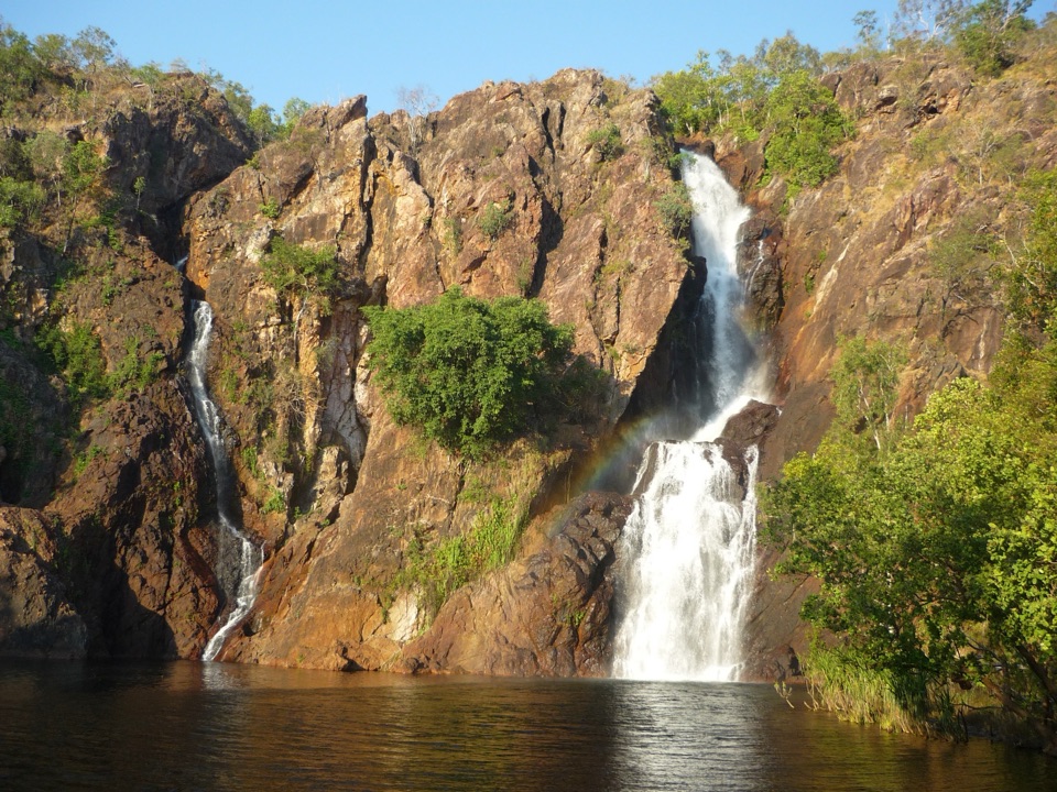
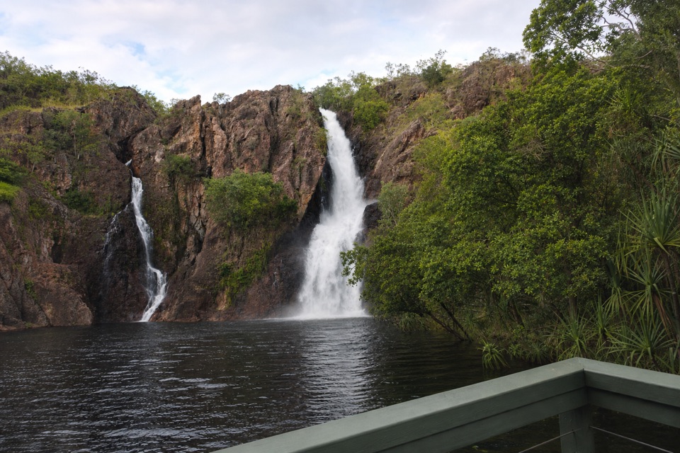
“You're coming up on Wangi Falls, where two cascades drop into a broad pool edged by monsoon forest.”

Plays near this trailhead in the Parkwolf Litchfield Tour Guide.

More stories near here in the app

  • The Goanna That Dives
  • The Bird That Composts Its Eggs
  • The Spitfire in the Bush
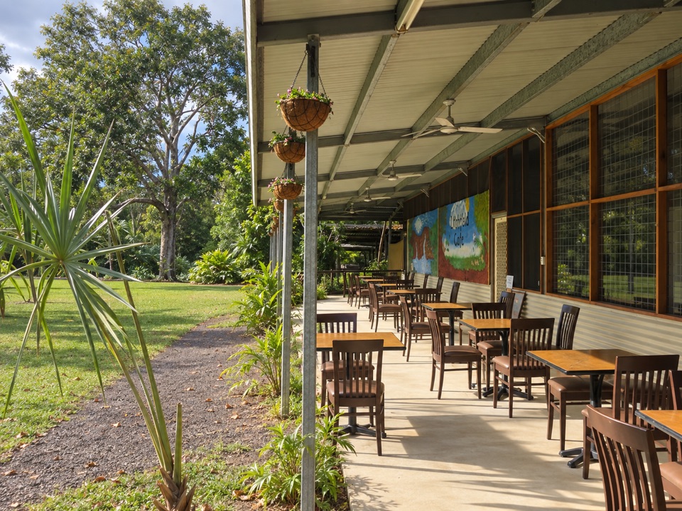
  • Litchfield Cafe
  • 68 audio storiesacross Litchfield’s roads, triggered by GPS as you drive
  • Works offlinemaps, 17 trails, 31 places, and audio download before you lose signal
  • CarPlay readysimple controls built for the drive
★★★★★
“Fantastic app with many points of information… It’s great to just turn on while you’re driving and it gives you an audio tour of the national Park. We love it!!!!”
JMJamesApp Store review
Download Parkwolf on the App StoreGet Parkwolf on Google Play

4.7 from 8,600+ ratings

Trail guide

Hiking Tabletop Track: Wangi Falls to Walker Creek

A two-day Tabletop crossingTabletop Track: Wangi Falls to Walker Creek is a 20.

Tabletop Track: Wangi Falls to Walker Creek is a 20.2 km, one-way point-to-point walk from Wangi Falls Carpark to Walker Creek Carpark. That distance includes the access tracks at both ends around the 14.3 km stretch between the circuit junctions; it is neither the junction-only section nor the full Tabletop loop. The walk is Grade 4, moderate to difficult, with two days allowed. Plan it as a remote overnight trip for fit, experienced hikers. You get a demanding traverse of the Tabletop Range, with waterfalls and broad escarpment views, without committing to the whole circuit.

Across the rangeFrom Wangi Falls, follow the access track to Wangi Falls Junction, then head north over the…

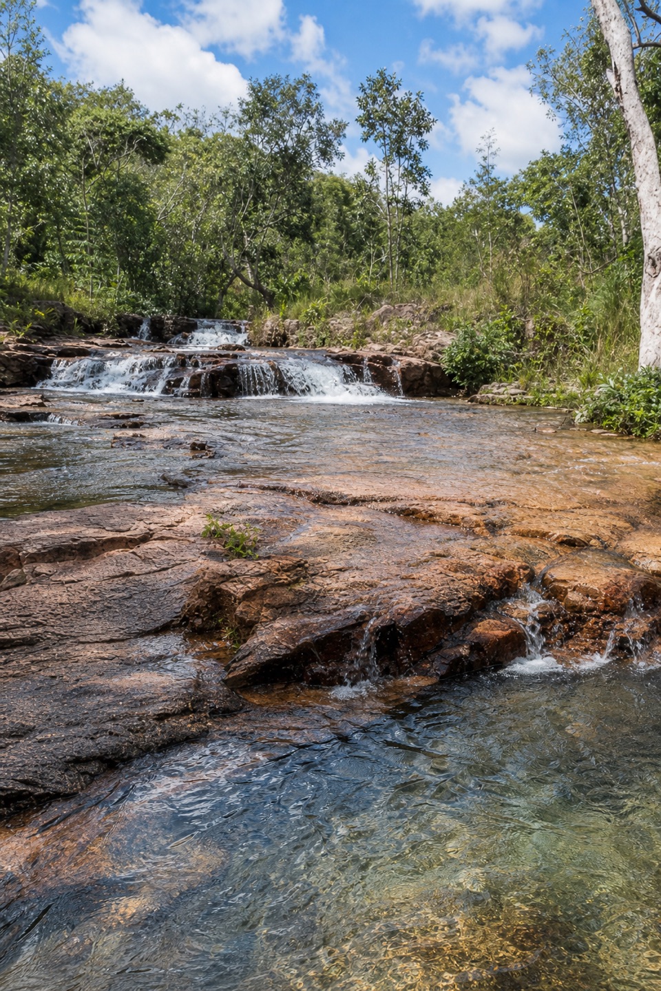
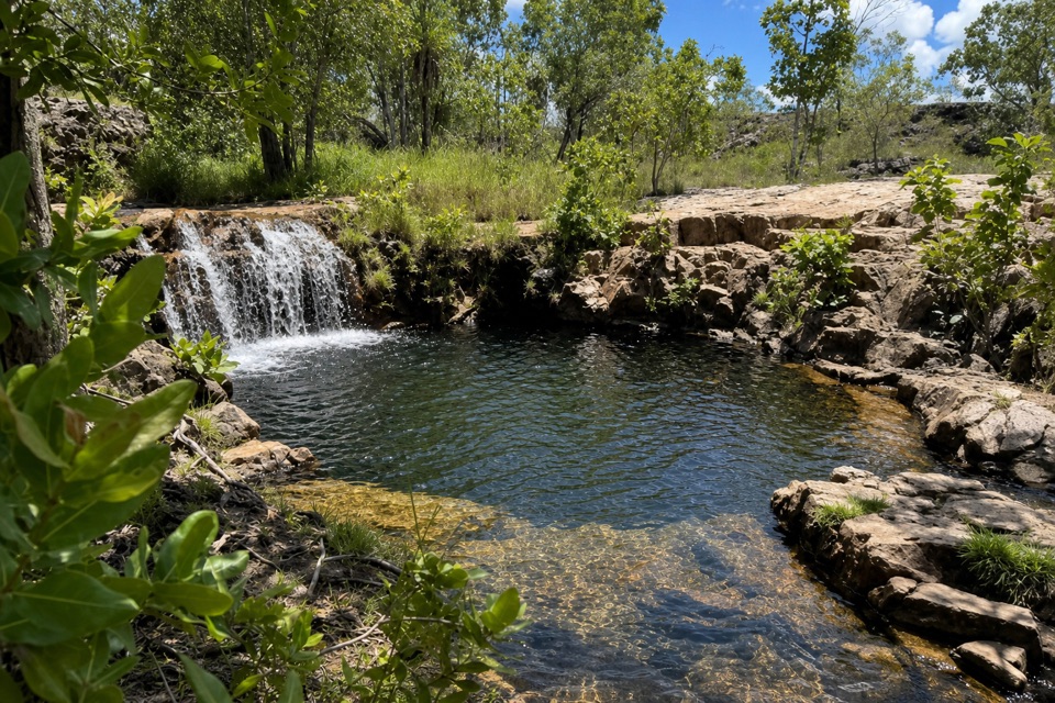
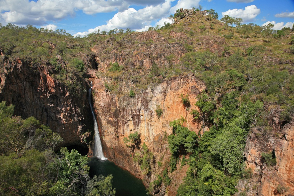
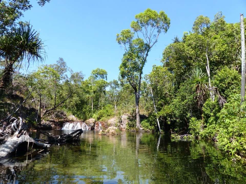
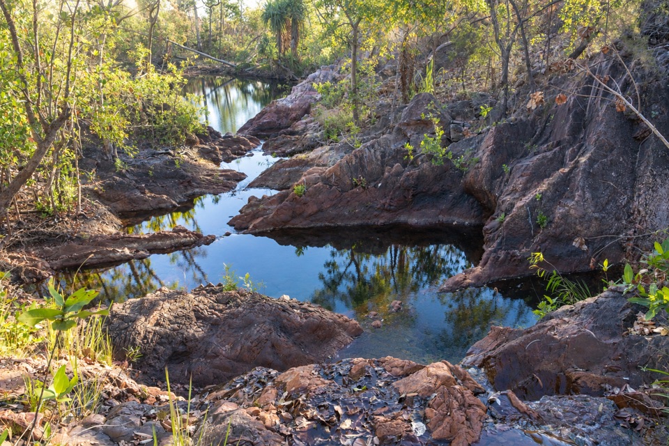
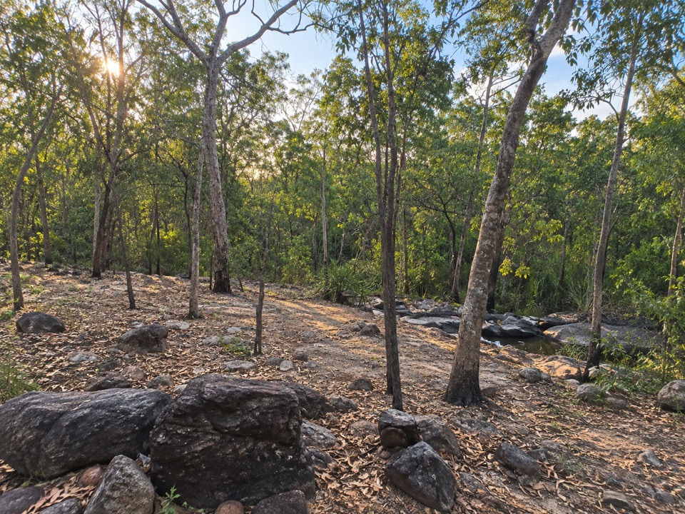
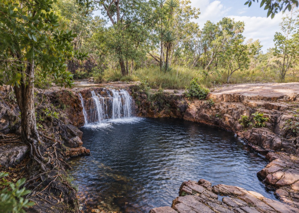
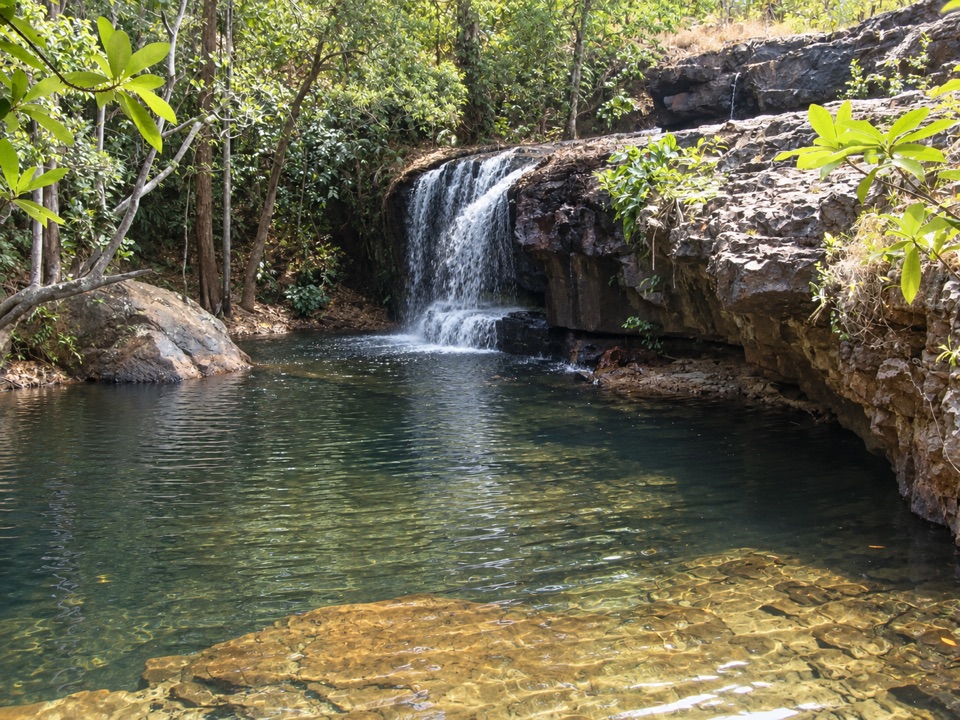
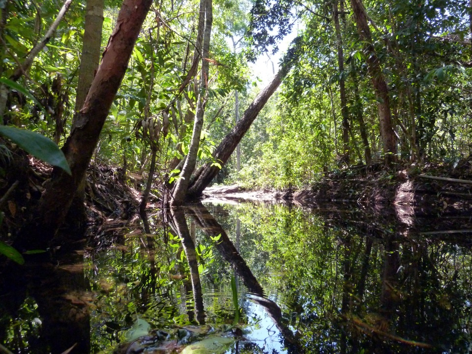
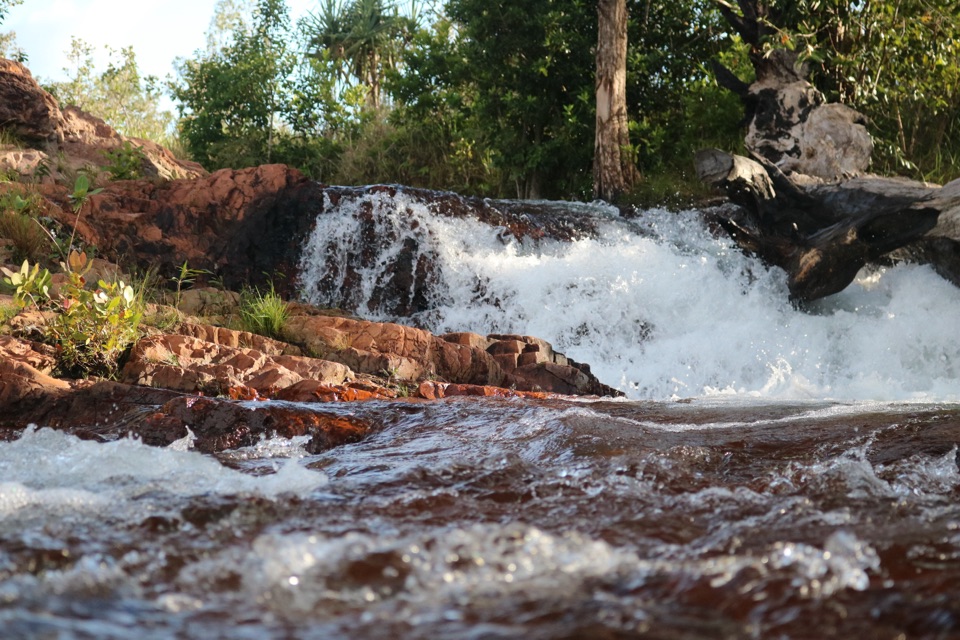
From Wangi Falls, follow the access track to Wangi Falls Junction, then head north over the rocky, hilly interior to Walker Creek Junction and the public access track. The middle section is hard going, with steep, exposed stretches; directional signs can be limited. Open woodland and pandanus-lined creeks break up the ridges, and expansive views open across escarpment country. Tjenya Falls and its nearby bush campground are the main named stop and natural place to break the walk. This is a long, rough section with a clear destination, not a string of easy waterfall stops.

Water sets the paceTjenya Falls is the last reliable water source for about 16 km, unless you detour to Walker…

Tjenya Falls is the last reliable water source for about 16 km, unless you detour to Walker Creek. Surface water can be scarce and needs treatment; Northern Campground has no water. Carry what you need for the long gap and book a designated campground in advance. Freshwater and saltwater crocodiles inhabit the park, so heed warnings at waterways rather than assuming a pool is safe to swim.

Keep exploring

Near Tabletop Track: Wangi Falls to Walker Creek

See it all on the map

Trails that start nearby

Places near the trailhead

Parkwolf’s Litchfield ranking

Top-rated trails in Litchfield

All 17 trails
  1. 1Wangi Falls WalkModerate · 1.6 km
  2. 2Shady Creek WalkModerate · 1.6 km
  3. 3Florence Creek WalkEasy · 3.2 km
  4. 4Greenant Creek WalkModerate · 3.1 km
  5. 5Tolmer Falls Lookout WalkEasy · 0.8 km
  6. 6Tolmer Falls WalkModerate · 1.6 km

Take Parkwolf to Litchfield.

The audio tour guide for the drive, plus offline maps, trails, and wildlife heatmaps for when the signal drops.

4.7 from 8,600+ ratings

Download Parkwolf on the App StoreGet Parkwolf on Google Play