Walker Creek in Litchfield National Park

Campground · Litchfield National Park

Walker Creek

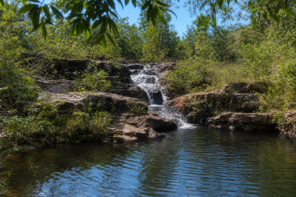
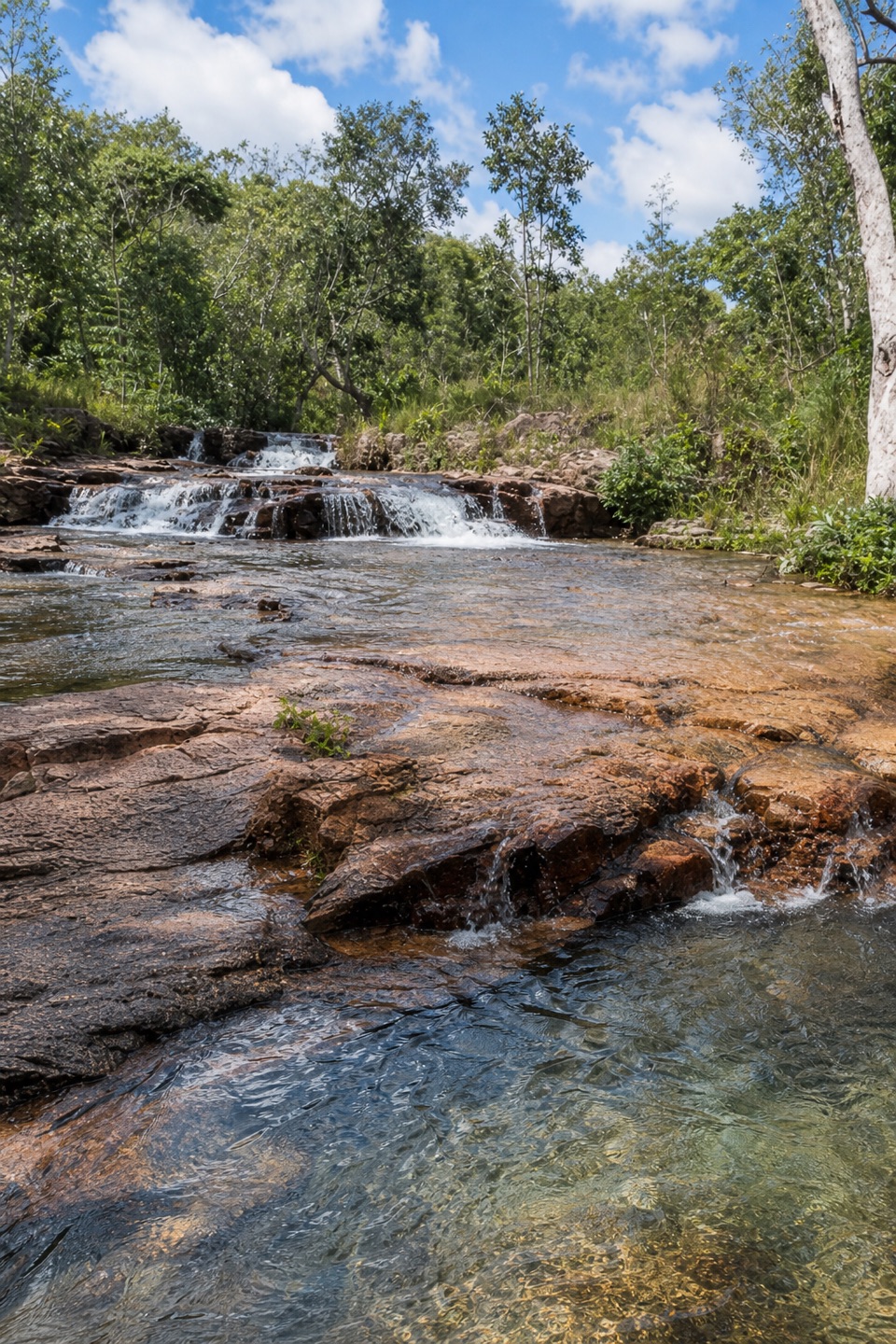
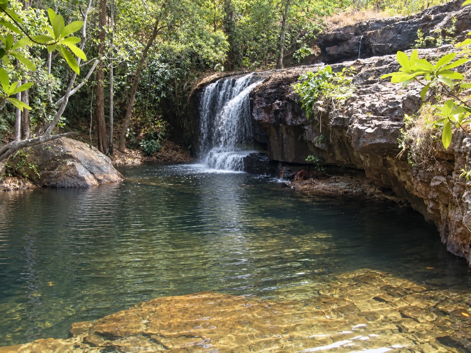
Walk-in creek camps, shallow cascades and clear pools to swim

Photo: Wikimedia Commons
Type
Campground
Nearest trail
0.1 km
Audio stories
3 nearby
  • Parking
  • Restrooms
  • Picnic tables

Hear the audio tour

Walker Creek and Rocky Falls

Overview

About Walker Creek

Why stop

  • Secluded creekside camps with clear swimming pools
  • Shallow cascades and a short creek walk

Heads up

  • Gear walk of up to 1.8 km
  • Basic facilities and untreated creek water
A quiet, low-key creek stop where the reward is clear water over rock rather than a big waterfall. Day visitors can park, stroll and swim without staying overnight, and the seven official campsites sit along the creek as walk-in style sites.
Parkwolf’s verdictWhy stop

Map

Where it is

Loading the Litchfield map
Full map
CampgroundWalker Creek-13.07685, 130.69827
Keep this map with you offline in the Parkwolf app

Plan your stop

Before you go

Best time to go

Starting the walk early in the day is easier going, especially if you are carrying camping gear the full 1.8 km. If you only want a swim, the pools by the day-use picnic area and at Rocky Falls are the quickest option. The track runs past the campsites, so keep noise down and respect campers' privacy as you pass.


Access and walk effort

  • The creek and day-use carpark are reachable by 2WD.
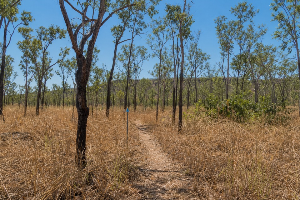
  • The creek walk is 3.5 km return, about 1 hour, Grade 3 moderate, starting at the carpark and following the creek.
  • The track passes the campsites and links to the Tabletop Track.
  • Campers walk their gear in, and the furthest campsite is 1.8 km from the carpark, so pack light.
  • Campsites must be booked and paid for online before you arrive.

3 active Litchfield alerts

  • ClosureTabletop Track closedMentions Tabletop Track, referenced in this guideThe Tabletop Track is closed because an Excess Heat Warning is in effect and there is no accessible drinking water. - Permit access only; do not plan an unpermitted walk on the track.Official details
  • CautionReynolds River Track: deep water crossingsThe Reynolds River Track is open to 4WDs only, but rough conditions and water crossings about 500–600 mm deep require care.Official details
See all 3 alerts
A park ranger sits on a dash-mounted phone, talking, as Parkwolf’s Tour Guide plays “Army Cutworm Moths: A Grizzly Bear Buffet” on Grand Loop Road below Dunraven Pass in Yellowstone
Parkwolf Tour GuideThe highest, rockiest slopes around here are a summer buffet for grizzly bears.

Litchfield Tour Guide

Your drive to Walker Creek, narrated.

Parkwolf is a GPS audio tour guide for Litchfield National Park. As you drive, it chimes in with what’s ahead: hidden gems, upcoming stops, history, geology, and wildlife, right through your car’s speakers.

Recorded for this place

Walker Creek and Rocky Falls
0:00 / 0:29
“You're approaching Walker Creek, where clear pools and low cascades offer a smaller-scale swim than the park's big falls.”

Plays as you drive up to Walker Creek in the Parkwolf Litchfield Tour Guide.

More stories near here in the app

  • Bamboo Creek Tin Mine
  • The Forest Beyond Rocky Falls
  • The Fairywren's Red Gift
  • Why the Swim Sign Matters
  • 68 audio storiesacross Litchfield’s roads, triggered by GPS as you drive
  • Works offlinemaps, 17 trails, 31 places, and audio download before you lose signal
  • CarPlay readysimple controls built for the drive
★★★★★
“Fantastic app with many points of information… It’s great to just turn on while you’re driving and it gives you an audio tour of the national Park. We love it!!!!”
JMJamesApp Store review
Download Parkwolf on the App StoreGet Parkwolf on Google Play

4.7 from 8,600+ ratings

Guide

More about Walker Creek

What you see and doThe creek runs in shallow rocky cascades between clear pools, framed by tropical woodland, with…

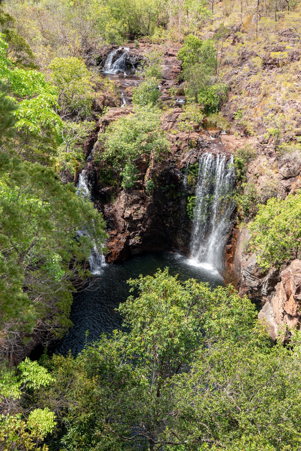
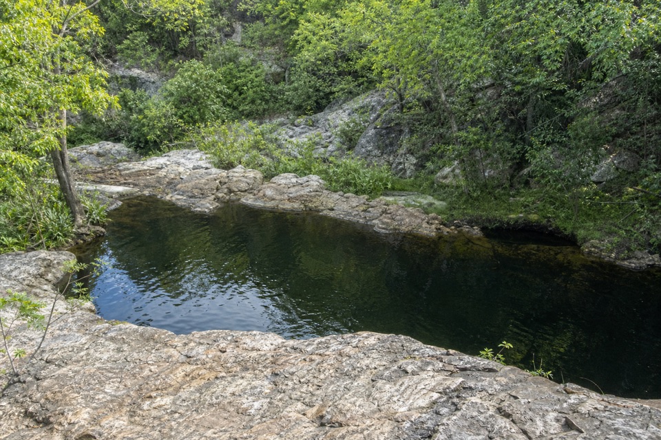
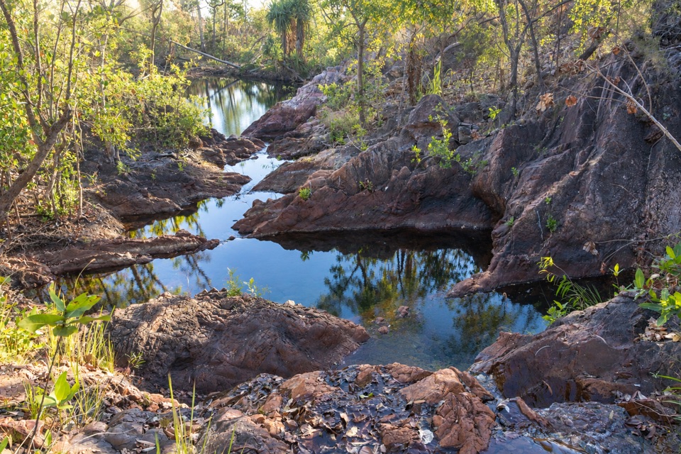
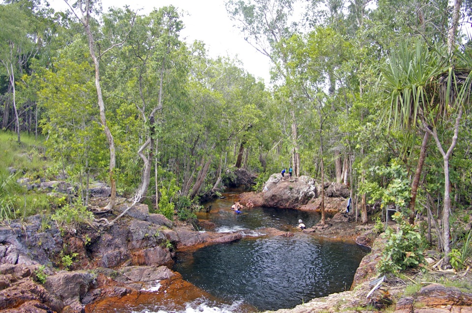
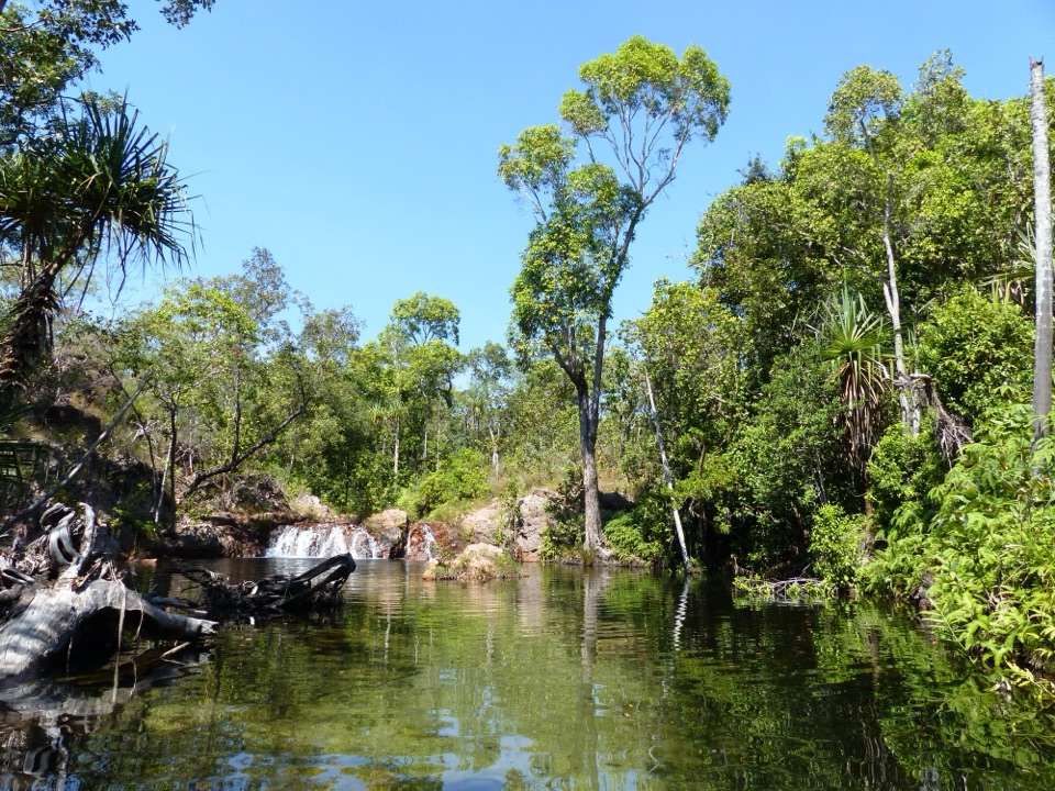
The creek runs in shallow rocky cascades between clear pools, framed by tropical woodland, with fallen timber in and around the water. Swimming is the main event, and the marked spots are the creek near the day-use picnic area by the carpark and Rocky Falls day-use area, about 600 m along the track. Swimming is permitted unless temporarily signed closed for environmental or wildlife hazards, so read the signs when you arrive.

How it differs from other park stopsThis is a Category B site with fewer facilities, and that is the appeal.

This is a Category B site with fewer facilities, and that is the appeal. You get a creekside track, small pools you walk to, and camping where campers carry their own gear in from the carpark, which makes the overnight experience walk-in and secluded.

Verified facilitiesEach of the seven campsites has a fire pit and a table, plus creek access nearby.
  • Each of the seven campsites has a fire pit and a table, plus creek access nearby.
  • Wood BBQs and an emergency call device.
  • Three pit-toilet facilities.
  • No rubbish bins, so everything you bring in comes back out with you.
  • Water must be boiled before drinking. Treat the creek as untreated water.
What to bringDrinking water or the means to boil creek water, a rubbish bag, sturdy shoes for a Grade 3…

Drinking water or the means to boil creek water, a rubbish bag, sturdy shoes for a Grade 3 track, sun protection, and a light pack if you are camping and walking gear in.

Honest drawbacksThe cascades are shallow and low-key rather than a headline waterfall.

The cascades are shallow and low-key rather than a headline waterfall. Facilities are basic: pit toilets, no bins, no treated drinking water. With only seven sites, availability is limited and you have to book and pay online ahead. Carrying gear up to 1.8 km rules it out for some travellers, and swimming can be closed when hazards are signed.

Parkwolf’s Litchfield ranking

Top sights in Litchfield

All 31 places
  1. 1Wangi FallsSight
  2. 2Florence FallsSight
  3. 3Buley RockholeSight
  4. 4Magnetic Termite MoundsSight
  5. 5Tolmer FallsSight
  6. 6The Lost CitySight

Take Parkwolf to Litchfield.

The audio tour guide for the drive, plus offline maps, trails, and wildlife heatmaps for when the signal drops.

4.7 from 8,600+ ratings

Download Parkwolf on the App StoreGet Parkwolf on Google Play