Parking
Start at the Walker Creek Day Use Area car park on Litchfield Park Road; NT Parks lists 2WD access, picnic facilities and public toilets. Parking capacity and a day-use parking fee were not found.
#10 of 17 trails in Litchfield
Litchfield National Park, NT
Creek pools, a monsoon-forest boardwalk and a climb above the valley.
Overview
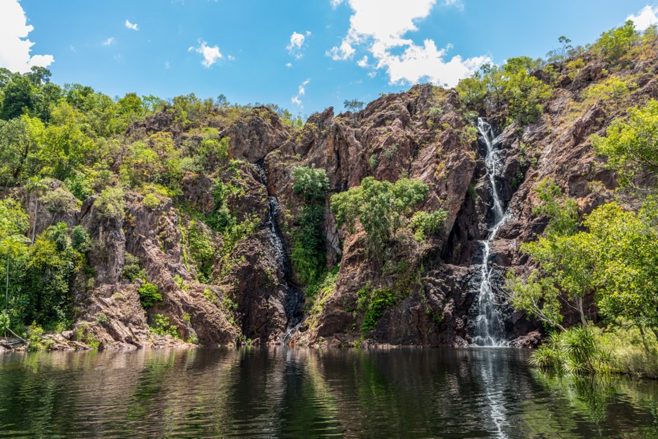
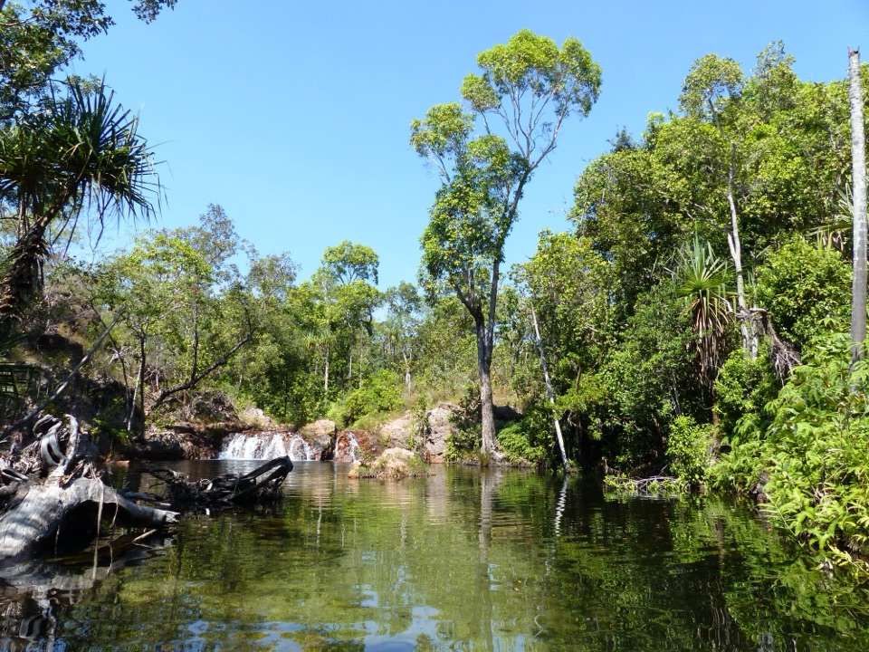
Walker Creek Track is a 3.5 km (2.17 mi) out-and-back from Walker Creek Day Use Area, following the creek-side camping trail to the Plunge Pool area and back. It is a string of little water places rather than one grand waterfall: rapids, deep pools, a short rainforest boardwalk and a final swimming hole give the walk its variety. Allow about 1.5 to 2 hours on foot, with more time if you plan to swim. NT Parks grades it moderate. Expect several short rises on uneven ground, but the distance is manageable for walkers used to bush tracks. This is the short Walker Creek walk; it shares access with the much longer Tabletop Track, which branches away from the creek route.
 Parkwolf’s verdictIs this the walk for you?
Map & elevation
Plan your hike

The highest, rockiest slopes around here are a summer buffet for grizzly bears.
Litchfield Tour Guide
Parkwolf is a GPS audio tour guide for Litchfield National Park. As you drive, it chimes in with what’s ahead: hidden gems, upcoming stops, history, geology, and wildlife, right through your car’s speakers.
Recorded for this trailhead
Walker Creek and Rocky Falls“You're approaching Walker Creek, where clear pools and low cascades offer a smaller-scale swim than the park's big falls.”
Plays as you drive up to this trailhead in the Parkwolf Litchfield Tour Guide.
More stories near here in the app
“Fantastic app with many points of information… It’s great to just turn on while you’re driving and it gives you an audio tour of the national Park. We love it!!!!”


Trail guide
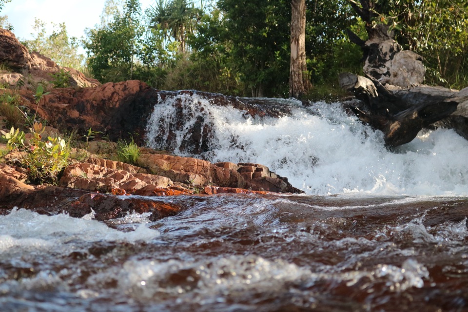
Start from the car park and follow the shared access path before the Walker Creek route turns into the creek corridor. The track rises over a small hill into open savanna woodland, then brings the creek back into view. Ferns gather in the damp ground close to the water. Rocky Falls is about 600 m along the track and is the first designated swim area on the walk. The cascades spread over a pale rocky shelf, a good place to pause before committing to the longer return. A metal bridge crosses the creek farther along and gives a clear look down the waterway. Walk slowly here: the route serves both day visitors and people carrying gear to the walk-in campsites, and the pools beside those sites are part of their overnight stay.
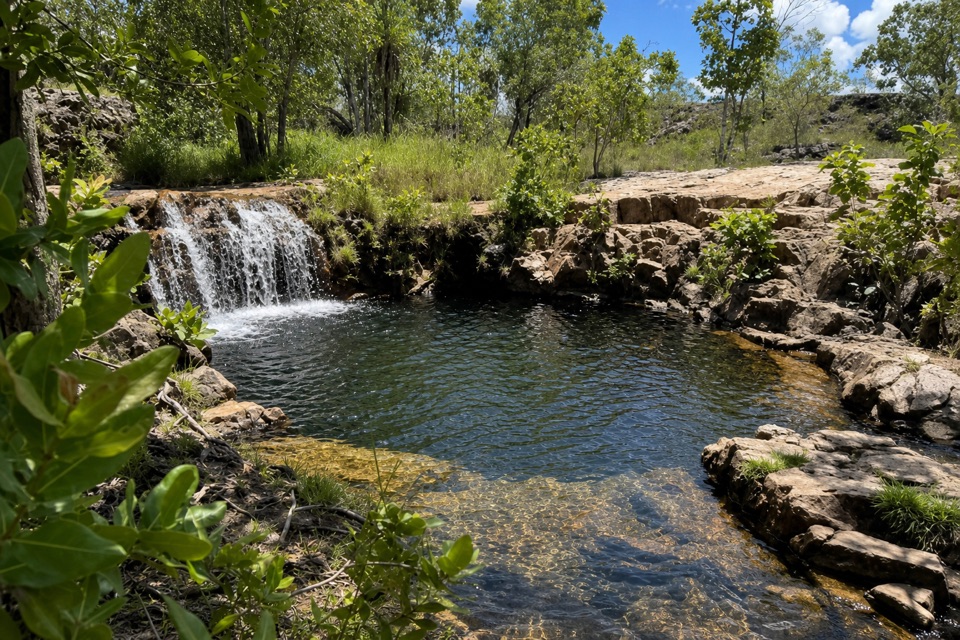
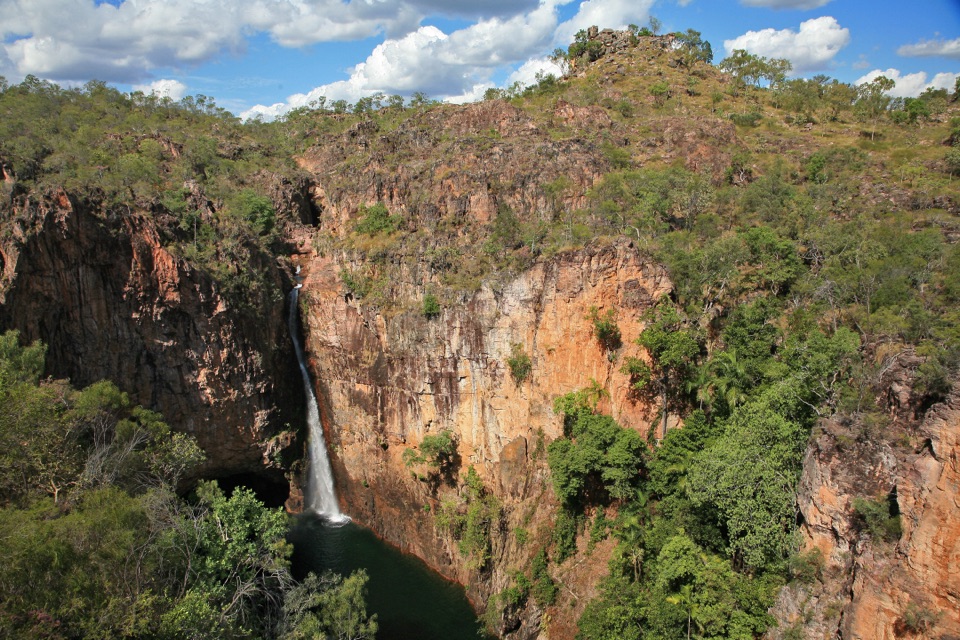
Past the first falls and campsite area, the path continues through a series of creek bends and smaller pools. One stretch leaves the open woodland for a boardwalk through dense monsoon forest beside a tributary. It is a noticeably greener, cooler patch, then the trail climbs Cycad Hill; from near the top, the valley opens below. The route reaches a junction with the Tabletop Track, but the short creek walk continues through savanna toward the plunge pool at its far end. Turn around there and retrace your steps. The return makes the same little hills feel different, and the creek views keep changing as you approach them from the other direction. For a shorter outing, the Rocky Falls day-use section is about 1.2 km return from the car park; it reaches the early swim stop without the boardwalk, hill or far pool. For a photo, frame the water crossing the rock shelf at Rocky Falls, with a strip of creek in front so the low cascades read clearly.
The Walker Creek Day Use Area has picnic facilities and public toilets; more toilets serve the camping corridor. A wood barbecue is listed for the area, but no café or food outlet was found on the route, so bring food and drinking water. NT Parks says all water must be boiled before drinking. Most visitors from outside the Northern Territory need an NT Parks Visitor Pass; NT residents are exempt. The walk-in campsites must be booked and paid for in advance if you are staying overnight, but a day walk does not require a campsite booking. Pets are not permitted in NT parks; assistance animals are allowed. The open woodland has less shade than the creek-side rainforest, and Top End temperatures can be extreme, so plan for heat and carry enough water. Swimming at occupied campsites is discouraged; use the public day-use swimming areas and leave campers their privacy.
Keep exploring
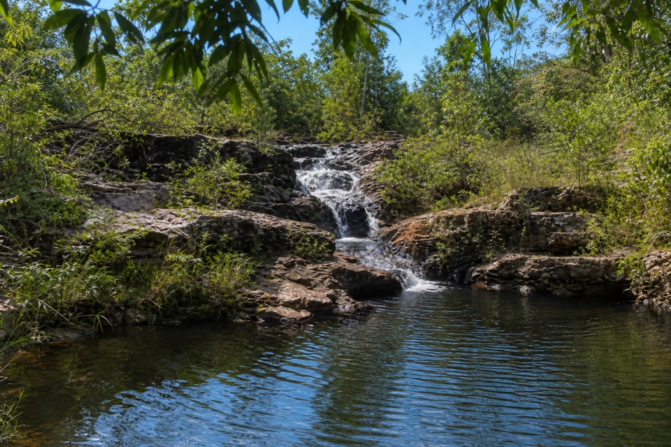 ModerateRocky Falls Day Use Area Walk1.2 km · 30 min · At the trailheadA quick creekside out-and-back to low rapids and a swimming spot.
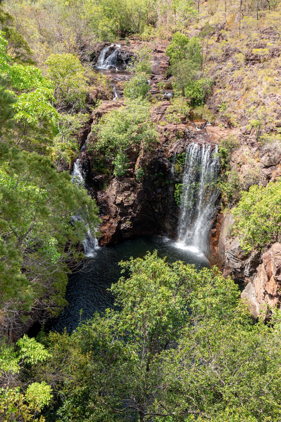 ChallengingTabletop Track: Walker Creek to Florence Falls13.3 km · 8 hr · At the trailheadCycads and a creek break up a long, exposed Tabletop crossing.
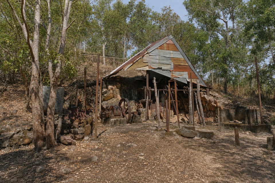 EasyBamboo Creek Tin Mine Walk0.6 km · 30 min · 1.8 km awayStone ruins, water tanks and an old engine on a short loop.
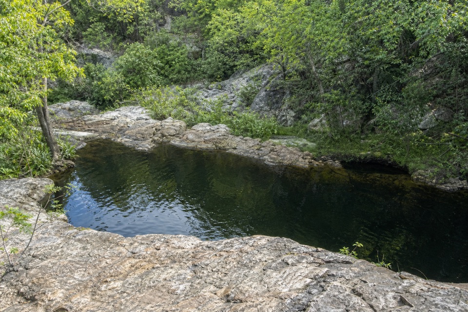 ModerateLower Cascades Walk2.6 km · 1.5 hr · 6.8 km awayQuickest, shadiest access to Curtain Falls and its rocky plunge pool.
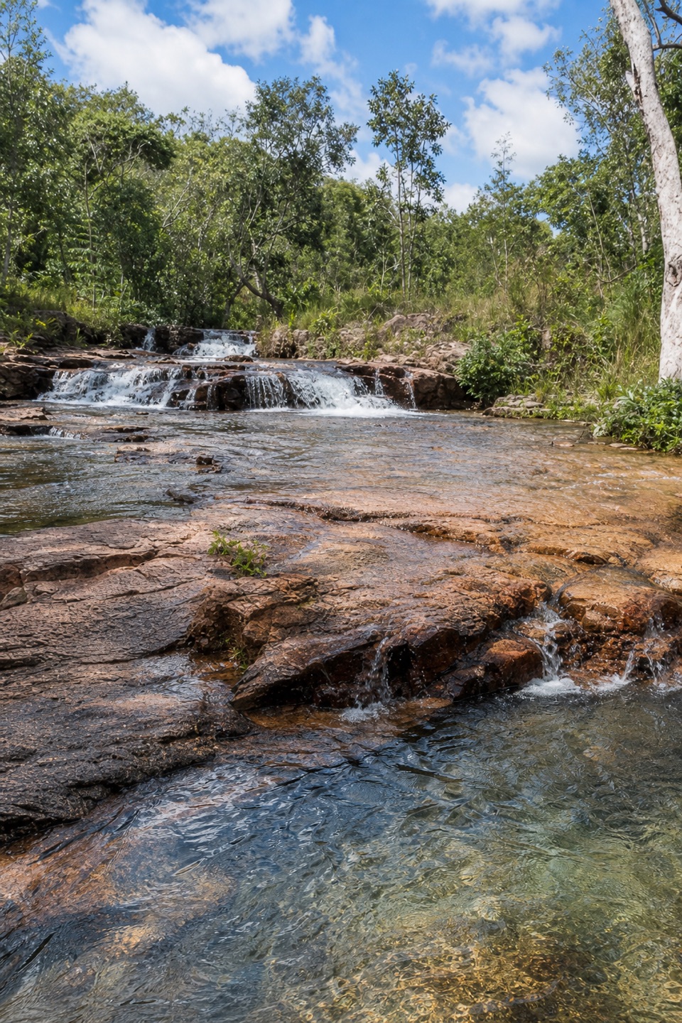 ModerateUpper Cascades Walk3.3 km · 2 hr · 6.8 km awayA rocky climb opens onto plateau lookouts and stepped cascades.
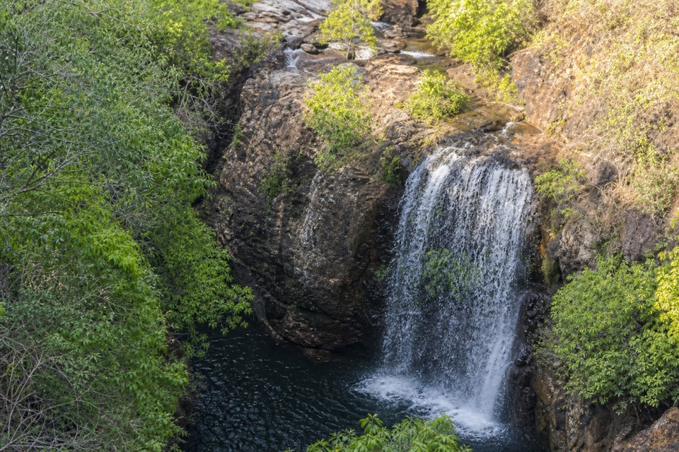 ChallengingTabletop Track Full Circuit38.9 km · 4 days · 8.8 km awayA remote, rocky four-day loop through Litchfield creek country
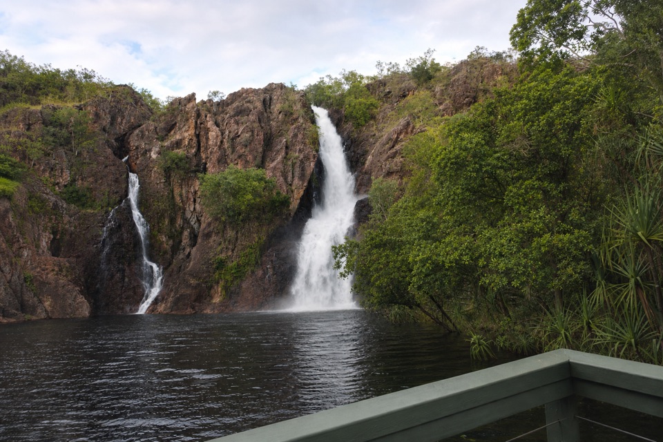 ChallengingTabletop Track: Wangi Falls to Walker Creek20.2 km · 12 hr · 9.6 km awayA rugged two-day Tabletop crossing with waterfalls and long dry stretches.
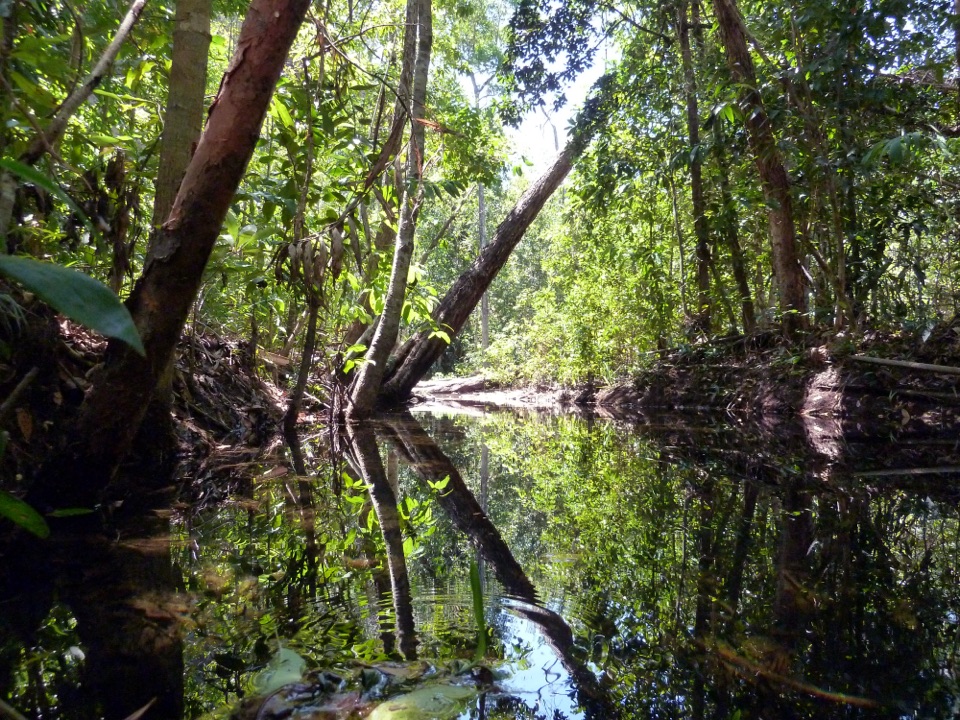 ModerateShady Creek Walk1.6 km · 45 min · 9.6 km awayA creekside loop to a Top End waterfall and plunge pool.Campground · 0.1 km awayWalker CreekWalk-in creek camps, shallow cascades and clear pools to swim
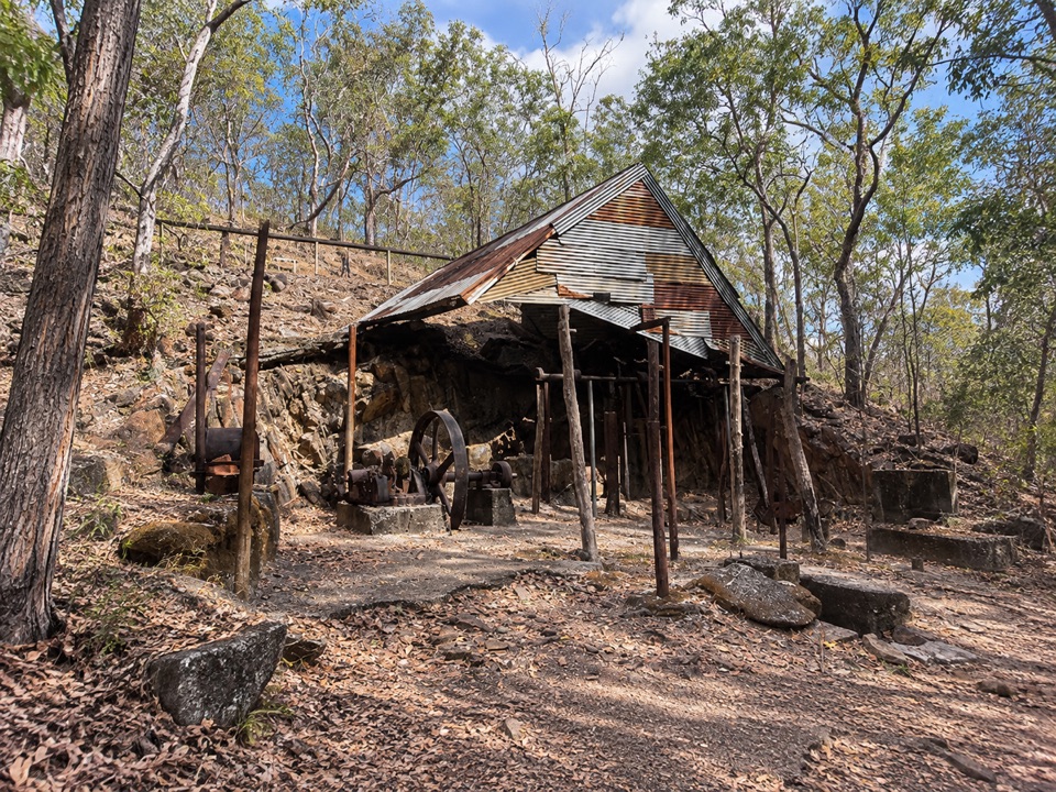 Sight · 1.8 km awayBamboo Creek Tin MineEarly-1900s tin workings and stone quarters on a short 4WD-access loop
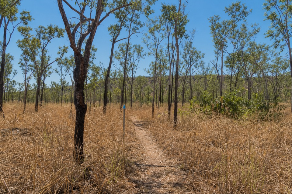 Campground · 3.5 km awayNorthern Campground (Tabletop Track)A quiet overnight stop on the hot, waterless Tabletop circuit
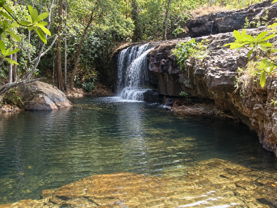 Sight · 6.8 km awayCascadesEarn your swim: rock pools and plateau lookouts on rugged tracks
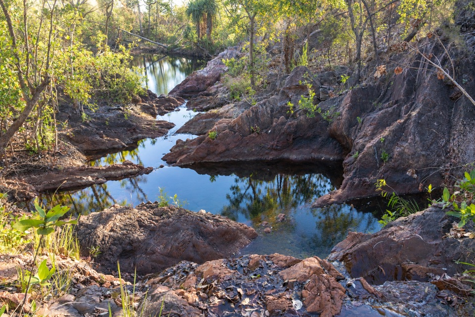 Campground · 7 km awayTjenya Falls CampgroundDry-plateau walk-in camp beside a small cascade and rock pools
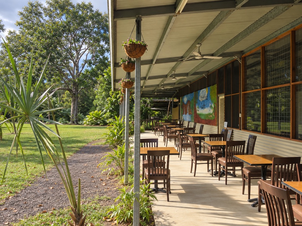 Food · 8.1 km awayLitchfield CafeShady off-grid veranda stop for coffee, beer or a seated meal
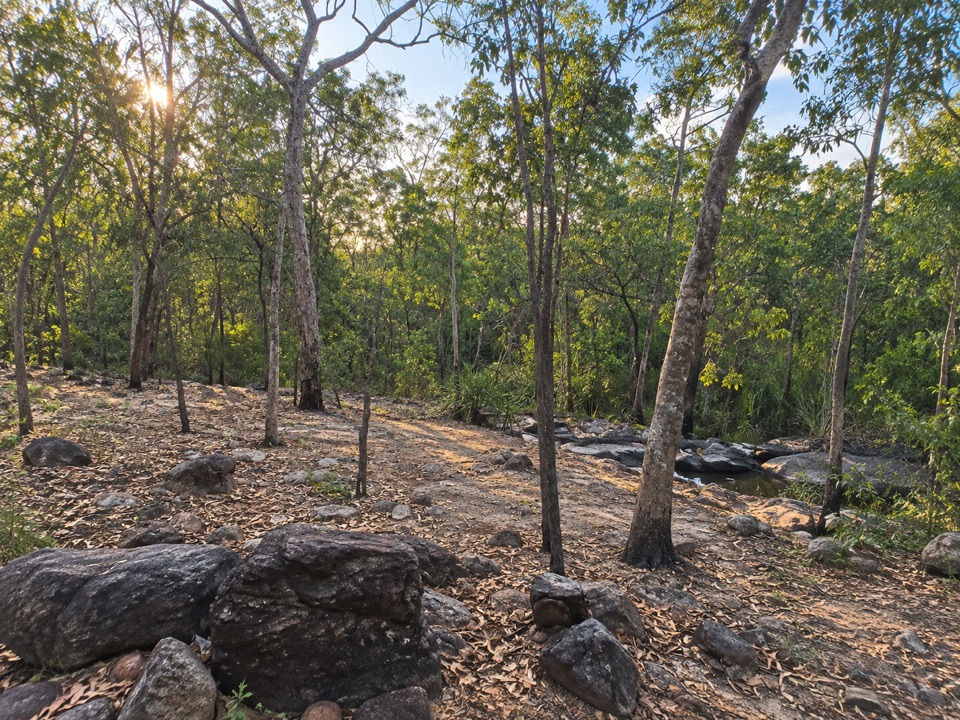 Campground · 9.2 km awaySouthern Campground (Tabletop Track)Rugged riverbed camp 15 km into the Tabletop Track loop
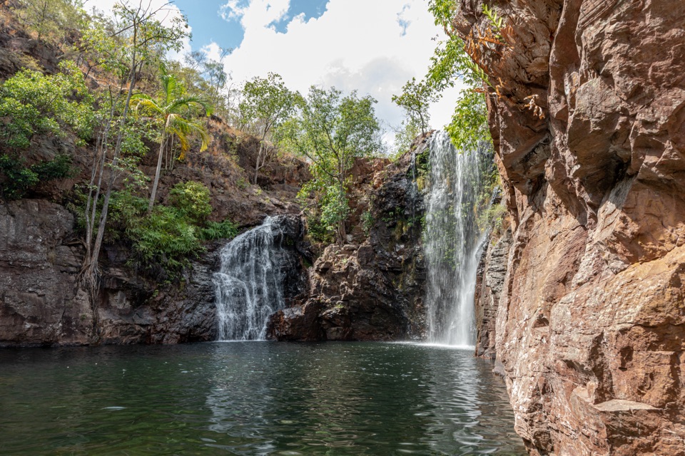 Sight · 9.5 km awayFlorence FallsSwim right up to the falls, 160 steps below the lookout
Parkwolf’s Litchfield ranking
The audio tour guide for the drive, plus offline maps, trails, and wildlife heatmaps for when the signal drops.