Cascades in Litchfield National Park

#8 of 15 sights in Litchfield

Sight · Litchfield National Park

Cascades

Earn your swim: rock pools and plateau lookouts on rugged tracks

Type
Sight
Nearest trail
Right here
Audio stories
4 nearby
  • Parking
  • Restrooms
  • Picnic tables
  • Scenic viewpoint

Hear the audio tour

The Cascades

Overview

About Cascades

Why stop

  • Quiet swimming holes
  • Plateau lookouts on the upper walk

Heads up

  • Rocky, exposed walks
  • Small pools
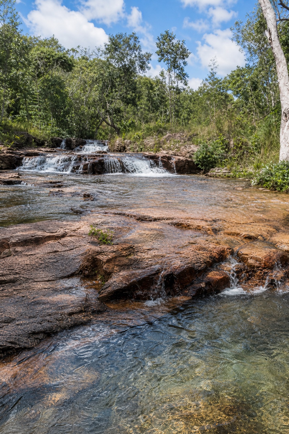
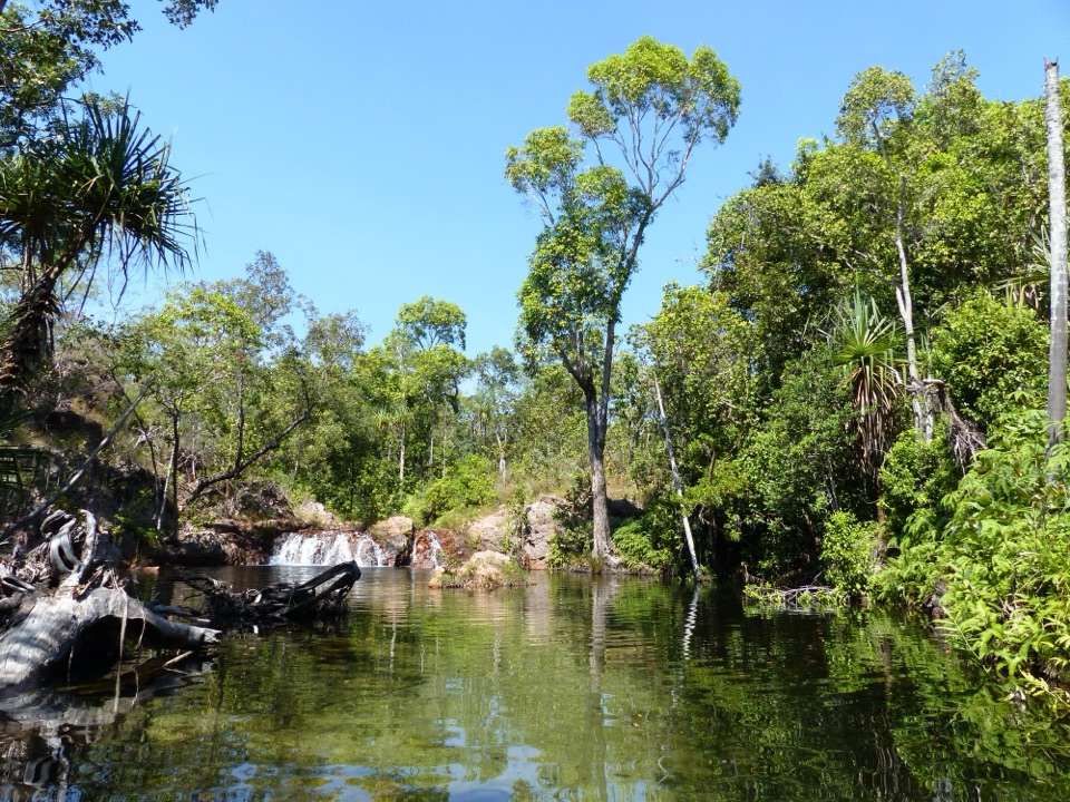
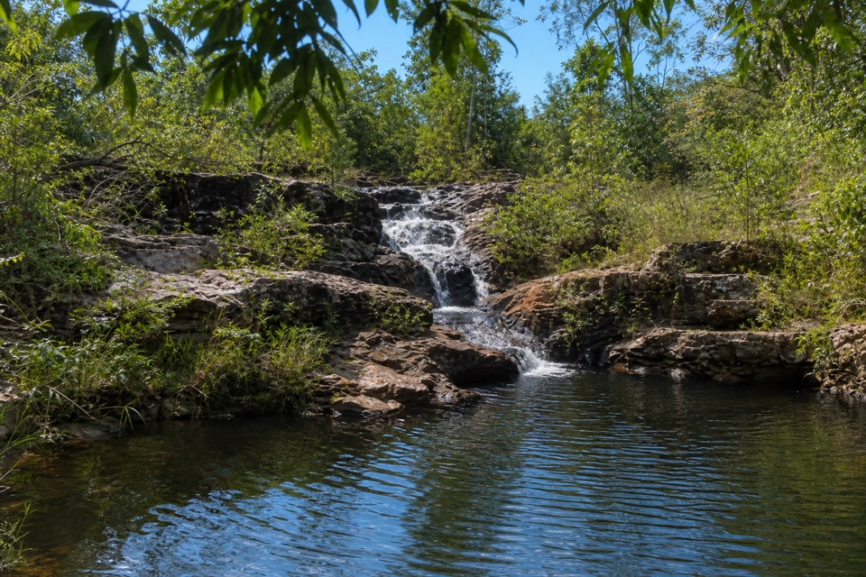
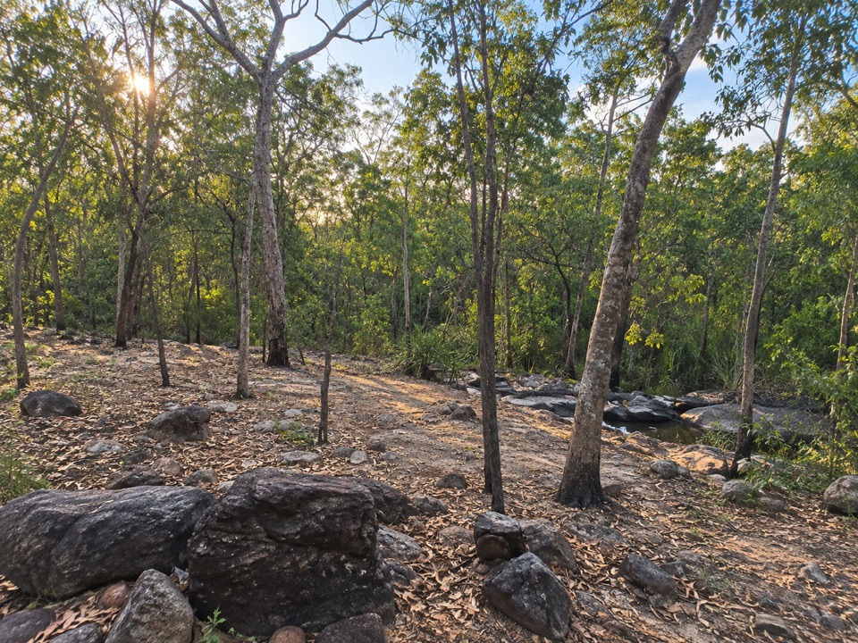
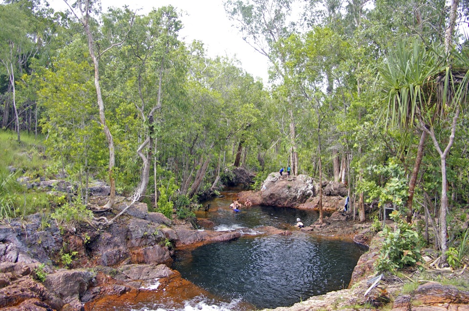
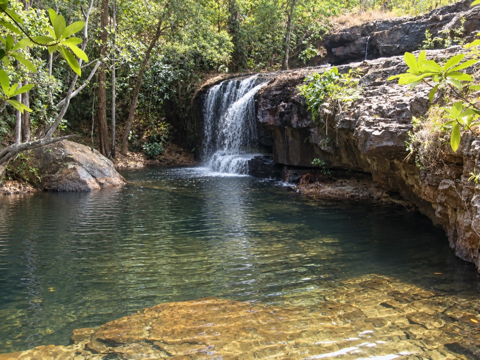
The swimming area at Cascades trades easy access for space. Both approaches are walking tracks through rugged bushland, so the reward is a rocky creek setting with modest falls, shallow pools and natural spa-like sections where you can spread out on the rock ledges rather than queue for a single plunge pool. The official park information notes that visitors often report having the area to themselves or sharing it with only a handful of others, which makes it a quieter, more tranquil alternative to the park's headline waterfalls.
Parkwolf’s verdictWhy stop here

Map

Where it is

Loading the Litchfield map
Full map
SightCascades-13.12738, 130.66167
Keep this map with you offline in the Parkwolf app

Plan your stop

Before you go

Best time to go

In the Dry Season the upper route works as a 3.3 km loop; in the Wet Season it becomes a 3.6 km return walk. Lower Cascades closes when water levels rise, because of flooding and increased crocodile risk, so treat that as a recurring wet-season pattern and check the walk you plan to use before setting out. An early morning start is a sensible way to handle heat on the exposed sections and to get softer light at the lookouts.


Facilities and rules

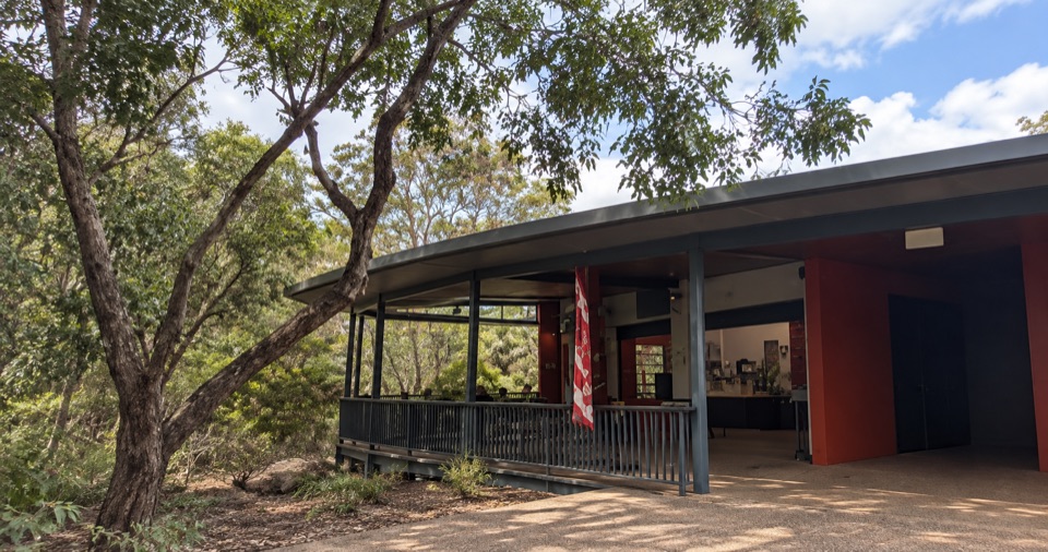
Picnic tables and public toilets are close to the car park, not at the swimming pools, so use them before you walk in. An NT Parks Visitor Pass is required, and camping is not allowed here.

3 active Litchfield alerts

  • CautionUpper Cascades swimming area: caution requiredMentions this placeThe Upper Cascades swimming area is open, but caution is required; take care if visiting. Check current Litchfield access conditions before travelling.Official details
  • CautionReynolds River Track: deep water crossingsThe Reynolds River Track is open to 4WDs only, but rough conditions and water crossings about 500–600 mm deep require care.Official details
See all 3 alerts
A park ranger sits on a dash-mounted phone, talking, as Parkwolf’s Tour Guide plays “Army Cutworm Moths: A Grizzly Bear Buffet” on Grand Loop Road below Dunraven Pass in Yellowstone
Parkwolf Tour GuideThe highest, rockiest slopes around here are a summer buffet for grizzly bears.

Litchfield Tour Guide

Your drive to Cascades, narrated.

Parkwolf is a GPS audio tour guide for Litchfield National Park. As you drive, it chimes in with what’s ahead: hidden gems, upcoming stops, history, geology, and wildlife, right through your car’s speakers.

Recorded for this place

The Cascades
0:00 / 0:32
“You're nearing the Cascades carpark, and the pools here take a proper walk over steep, uneven rock.”

Plays as you drive up to Cascades in the Parkwolf Litchfield Tour Guide.

More stories near here in the app

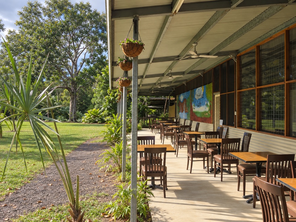
  • Litchfield Cafe
  • A Quoll's Dangerous Prey
  • The Spitfire in the Bush
  • The Goanna That Dives
  • 68 audio storiesacross Litchfield’s roads, triggered by GPS as you drive
  • Works offlinemaps, 17 trails, 31 places, and audio download before you lose signal
  • CarPlay readysimple controls built for the drive
★★★★★
“Fantastic app with many points of information… It’s great to just turn on while you’re driving and it gives you an audio tour of the national Park. We love it!!!!”
JMJamesApp Store review
Download Parkwolf on the App StoreGet Parkwolf on Google Play

4.7 from 8,600+ ratings

Guide

More about Cascades

The two walks from one car parkThere is a single car park with two routes to the same swimming area.

There is a single car park with two routes to the same swimming area.

Both are graded Grade 4, moderate to difficult. Terrain can be steep, slippery, uneven and rocky, and much of it sits in full sun.

  • Lower Cascades: 2.6 km return, about 1.5 hours. It follows the creek and is the quickest and shadiest route to the water.
  • Upper Cascades: 3.3 km loop in the Dry Season, 3.6 km return in the Wet Season, about 2 hours. It climbs onto the Tabletop Plateau and passes several lookouts with sweeping views over the lowlands. This route is exposed and can be hot.
What you see and doExpect layered rocky ledges, a low waterfall dropping into a clear dark pool, and dense monsoon…

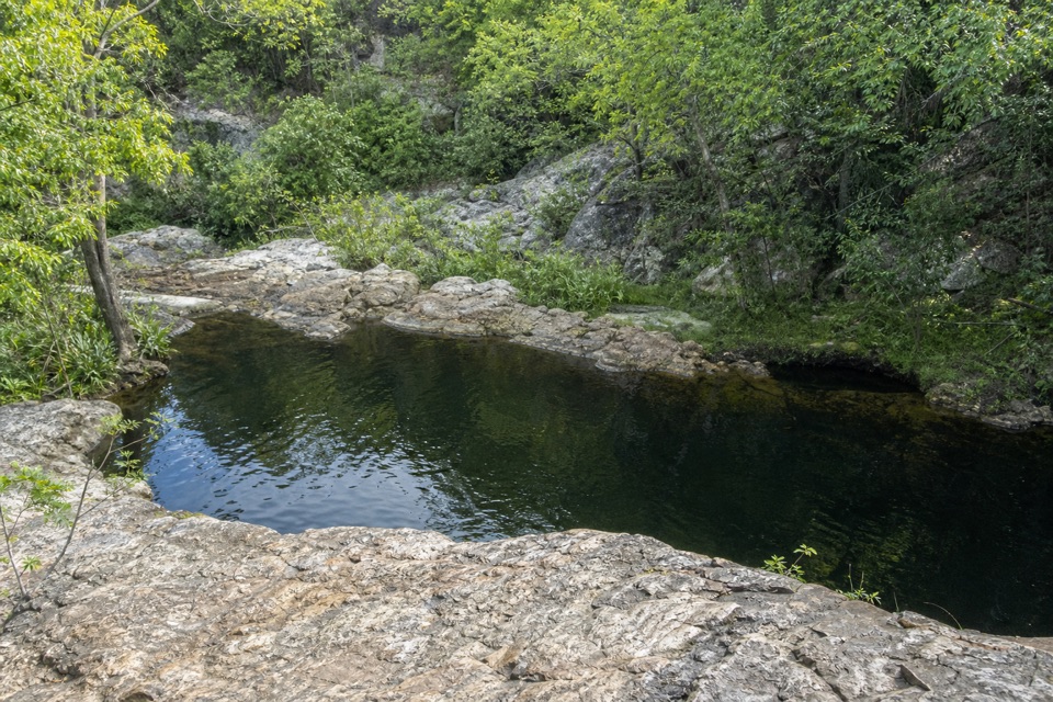
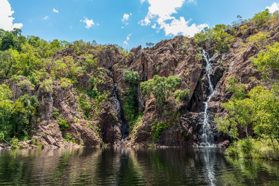
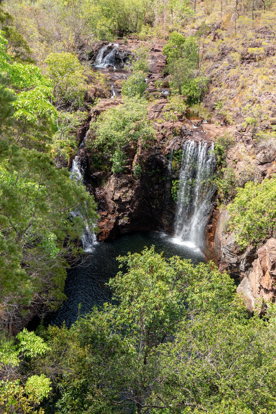
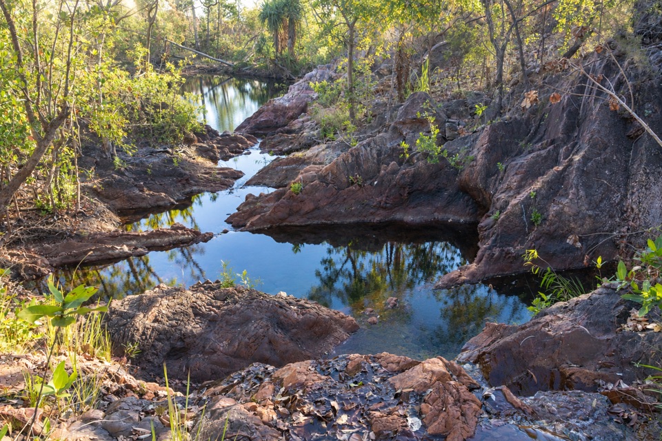
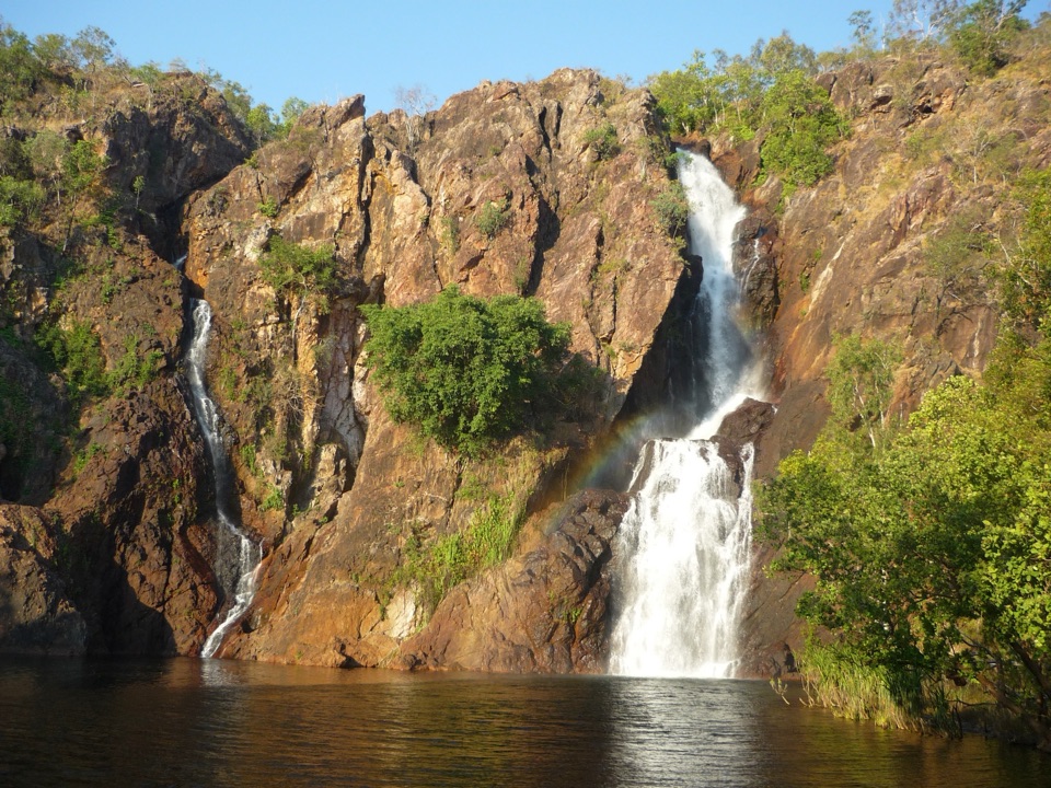
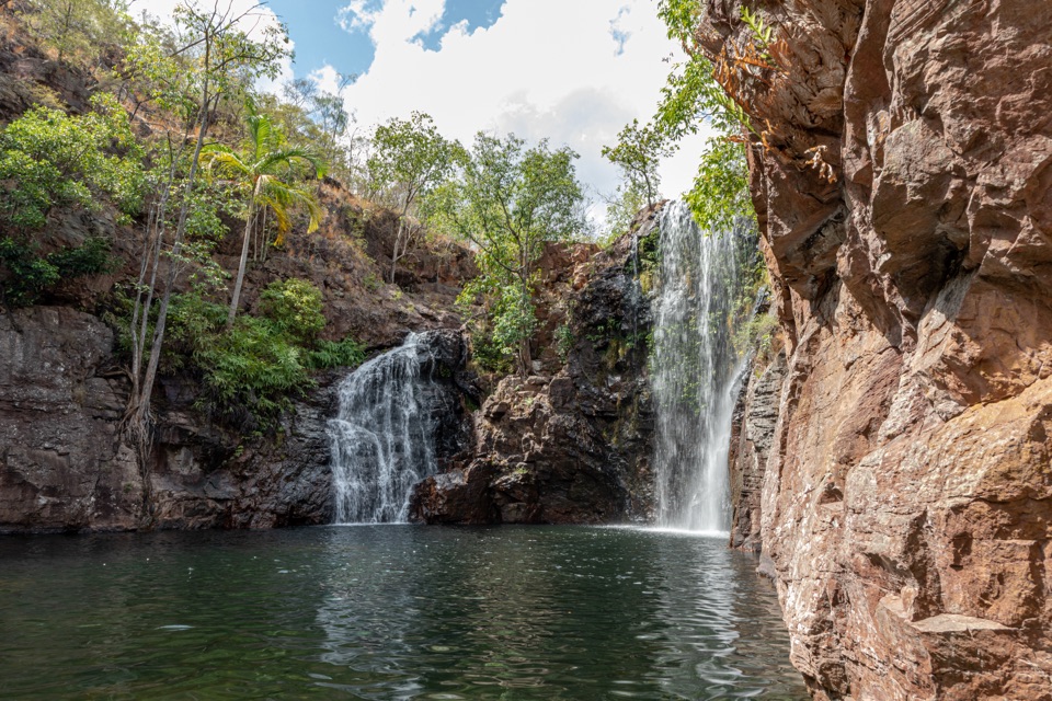
Expect layered rocky ledges, a low waterfall dropping into a clear dark pool, and dense monsoon woodland along the creek. Swimming, walking and picnicking are the listed activities. Most of the swimming area is in full sun, with some shade around the Curtain Falls plunge pool, so plan where you will sit before you settle in.

How it differs from the big-name stopsThis is not a roadside swim or a marquee waterfall.

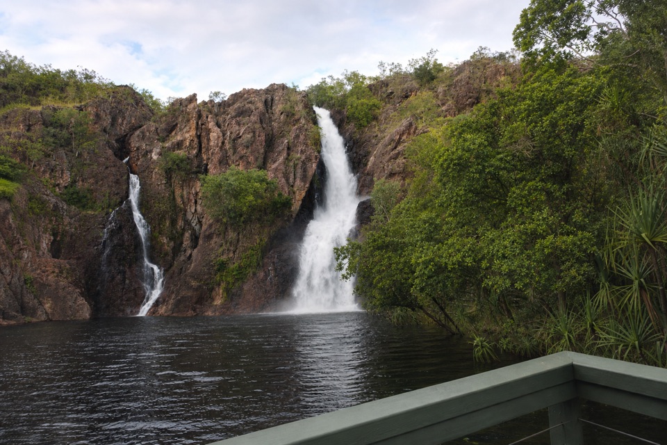
This is not a roadside swim or a marquee waterfall. The falls and pools are modest in scale, and you have to walk in and back out on rough ground. Choose it when you want room to spread out and a more rugged outing, and choose the park's larger falls when you want a short stroll to a big swimming hole.

What to bring and safetyWear sturdy shoes, use sun protection, and carry water for the whole walk.

Wear sturdy shoes, use sun protection, and carry water for the whole walk. Both tracks are steep and slippery in places, and there is little relief from the sun on the plateau route. Respect the closure of the lower creek track when water levels rise, since the flooding and crocodile risk are the reason it shuts.

Honest drawbacksSome visitors find the cascades underwhelming because the swimming holes are small, and the…

Some visitors find the cascades underwhelming because the swimming holes are small, and the walk in and out is genuinely hard work in the heat. Families do complete these tracks, but the terrain stays moderate to difficult, so it suits those comfortable with rocky, uneven ground rather than anyone after a quick dip near the car.

Keep exploring

Near Cascades

See it all on the map

Trails nearby

More stops nearby

Parkwolf’s Litchfield ranking

Top sights in Litchfield

All 31 places
  1. 1Wangi FallsSight
  2. 2Florence FallsSight
  3. 3Buley RockholeSight
  4. 4Magnetic Termite MoundsSight
  5. 5Tolmer FallsSight
  6. 6The Lost CitySight

Take Parkwolf to Litchfield.

The audio tour guide for the drive, plus offline maps, trails, and wildlife heatmaps for when the signal drops.

4.7 from 8,600+ ratings

Download Parkwolf on the App StoreGet Parkwolf on Google Play