Parking
Start at Walker Creek Carpark. NT Parks says the site is accessible by 2WD; a Parks Pass applies to park entry, with NT residents exempt.
Litchfield National Park, NT
A quick creekside out-and-back to low rapids and a swimming spot.
Overview
Map & elevation
Plan your hike

The highest, rockiest slopes around here are a summer buffet for grizzly bears.
Litchfield Tour Guide
Parkwolf is a GPS audio tour guide for Litchfield National Park. As you drive, it chimes in with what’s ahead: hidden gems, upcoming stops, history, geology, and wildlife, right through your car’s speakers.
Recorded for this trailhead
Walker Creek and Rocky Falls“You're approaching Walker Creek, where clear pools and low cascades offer a smaller-scale swim than the park's big falls.”
Plays as you drive up to this trailhead in the Parkwolf Litchfield Tour Guide.
More stories near here in the app
“Fantastic app with many points of information… It’s great to just turn on while you’re driving and it gives you an audio tour of the national Park. We love it!!!!”


Trail guide
Rocky Falls Day Use Area Walk is a short out-and-back to the Walker Creek swimming area in Litchfield National Park. It is 1.2 km (about 0.75 miles) return from Walker Creek Carpark, and NT Parks allows 30 minutes on foot. Choose it for a quick creek stop; the separate Walker Creek Walk continues farther along the creek and past campsites.
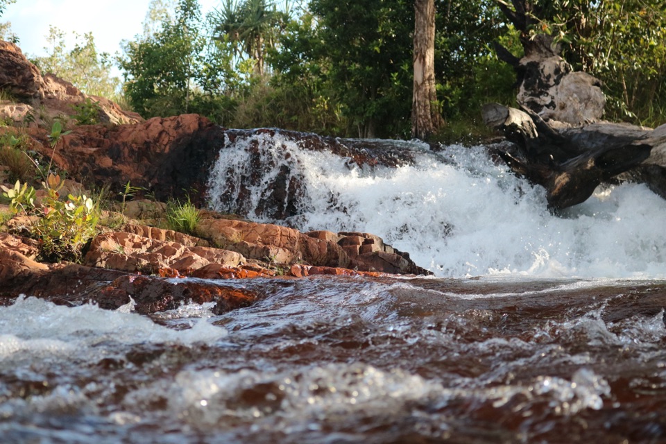
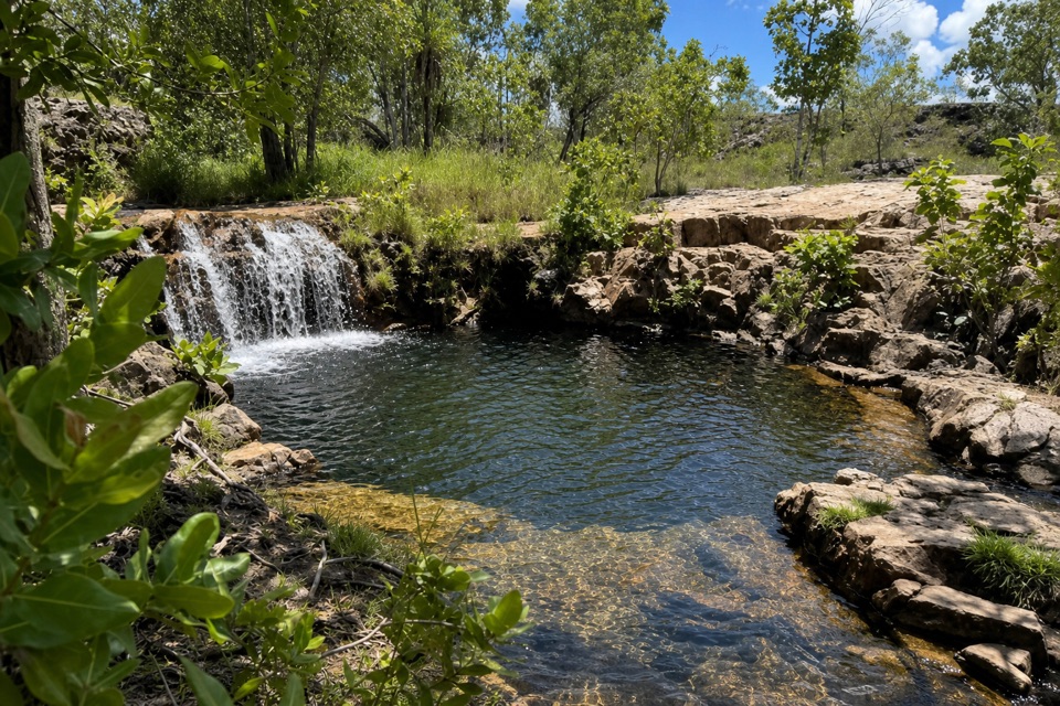
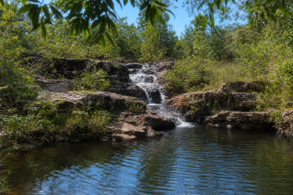
This is a compact outing, not a big waterfall hike. Rocky Falls is a series of low rapids over a rocky platform, with a pool below. If a swim is the point, allow more than the official walking time so you can stop at the water.
From the carpark, follow the creekside track about 600 m to the day-use swim area, then return the same way. At the end, water runs in short drops over rough rock shelves into a pool under close tropical foliage. The park's directions do not describe the short track's exact surface or grade changes, so expect a moderate bushwalk rather than assuming the tread is smooth. NT Parks rates the walk Grade 3 (moderate), despite its short length.
A photo from the pool edge works well with some water beneath the rapids: the pool makes the low cascade read as a series of falls, not a tight crop of whitewater.
The Walker Creek day-use area has a picnic area and a pit toilet close to the carpark. NT Parks says Walker Creek is accessible by 2WD. A Parks Pass applies to park entry; NT residents are exempt. Pets are not allowed in NT parks except certified assistance animals. Follow posted creek closure signs: swimming can be restricted for environmental or wildlife hazards, and is discouraged at occupied campsites. No food service or drinking water is listed for the day-use area, so bring what you need.
Keep exploring
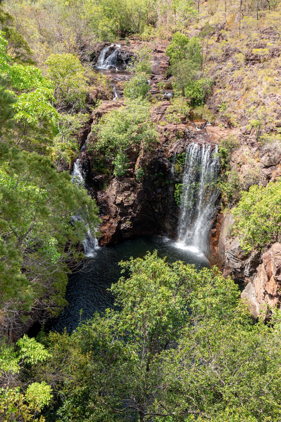 ChallengingTabletop Track: Walker Creek to Florence Falls13.3 km · 8 hr · At the trailheadCycads and a creek break up a long, exposed Tabletop crossing.
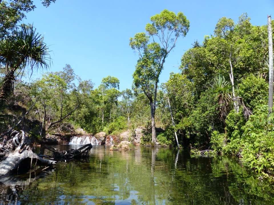 EasyWalker Creek Track3.5 km · 2 hr · At the trailheadCreek pools, a monsoon-forest boardwalk and a climb above the valley.
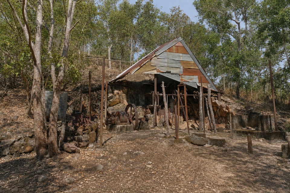 EasyBamboo Creek Tin Mine Walk0.6 km · 30 min · 1.8 km awayStone ruins, water tanks and an old engine on a short loop.
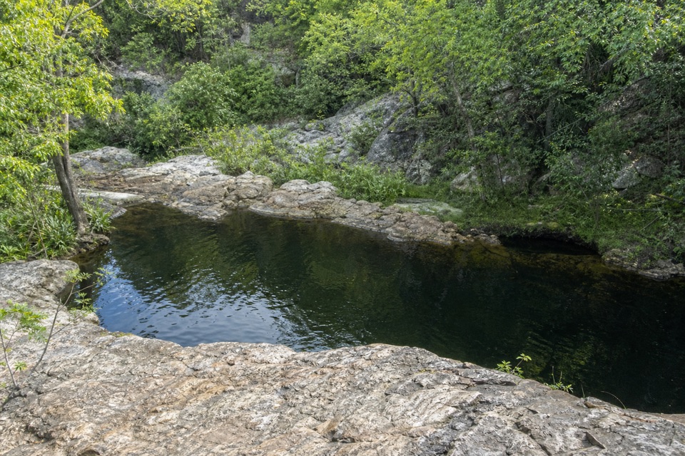 ModerateLower Cascades Walk2.6 km · 1.5 hr · 6.8 km awayQuickest, shadiest access to Curtain Falls and its rocky plunge pool.
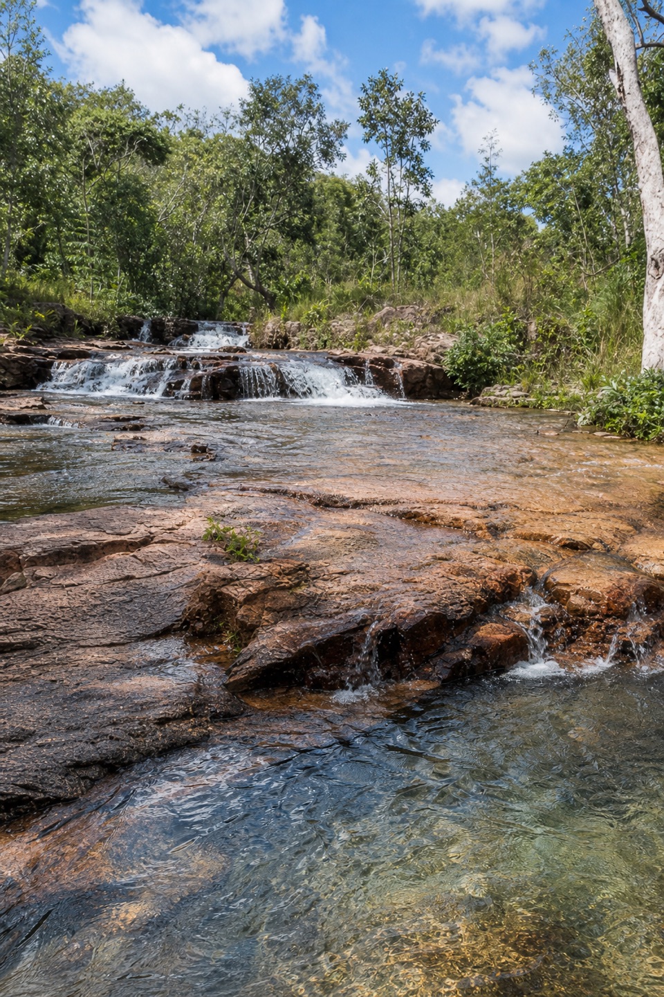 ModerateUpper Cascades Walk3.3 km · 2 hr · 6.8 km awayA rocky climb opens onto plateau lookouts and stepped cascades.
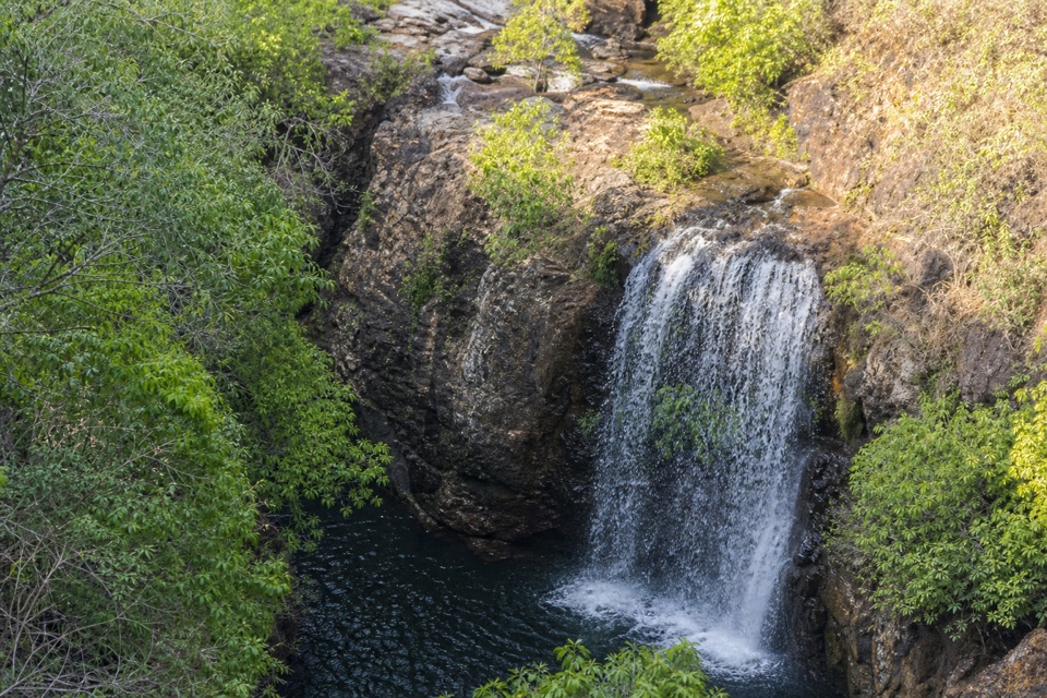 ChallengingTabletop Track Full Circuit38.9 km · 4 days · 8.9 km awayA remote, rocky four-day loop through Litchfield creek country
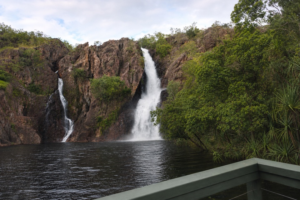 ChallengingTabletop Track: Wangi Falls to Walker Creek20.2 km · 12 hr · 9.6 km awayA rugged two-day Tabletop crossing with waterfalls and long dry stretches.
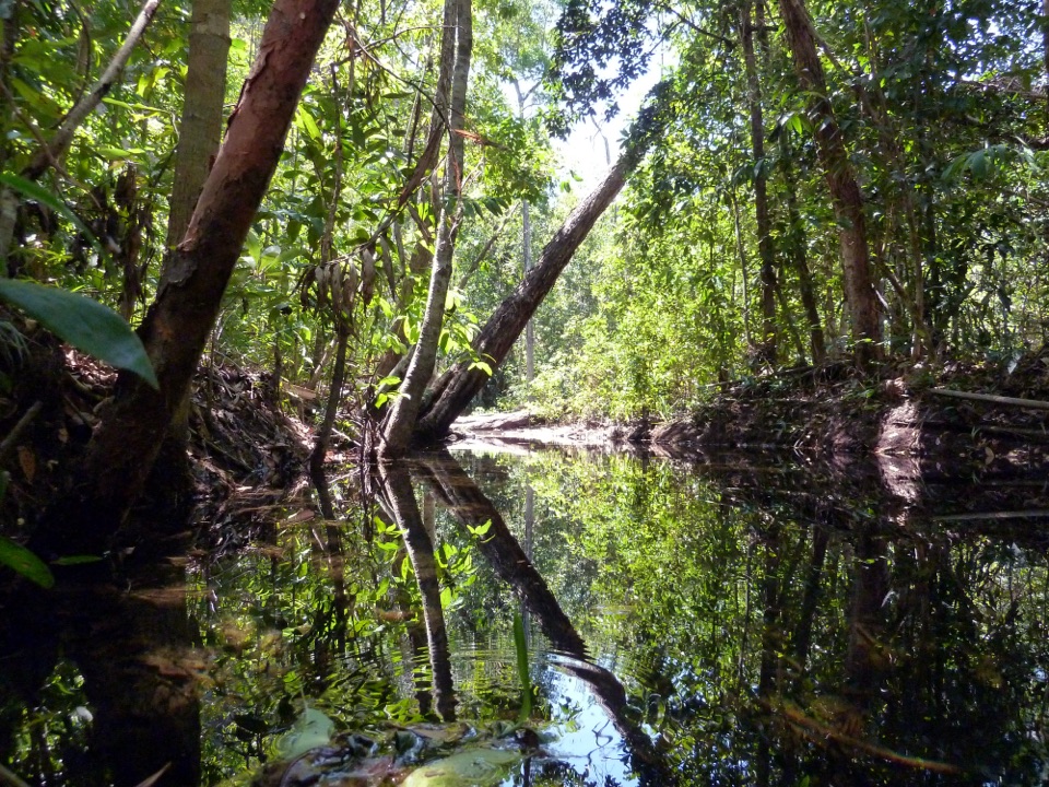 ModerateShady Creek Walk1.6 km · 45 min · 9.7 km awayA creekside loop to a Top End waterfall and plunge pool.Campground · 0.1 km awayWalker CreekWalk-in creek camps, shallow cascades and clear pools to swim
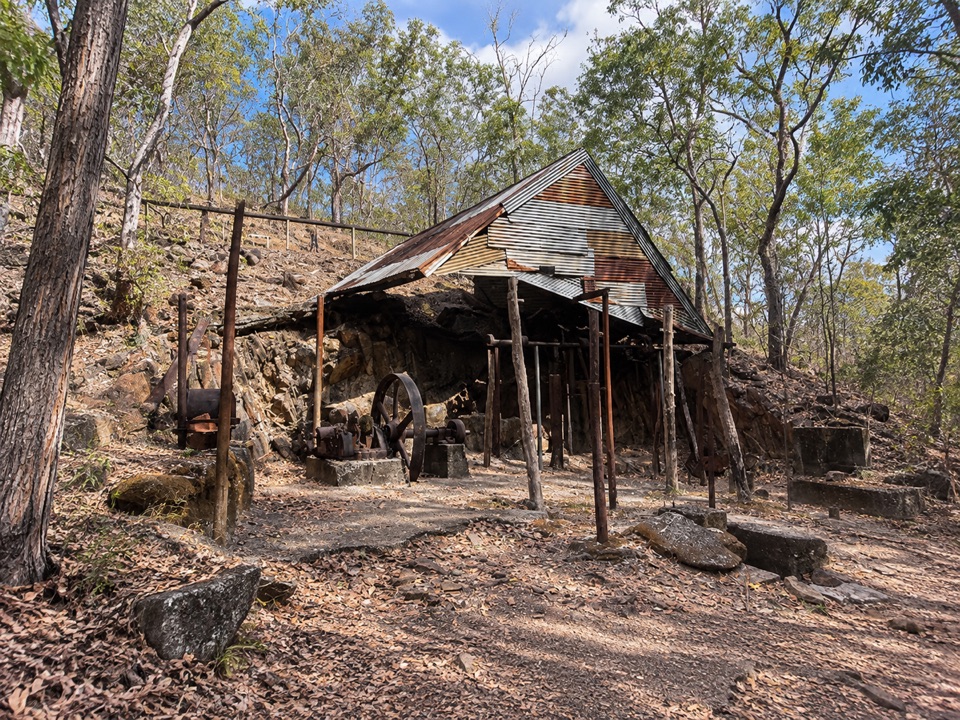 Sight · 1.8 km awayBamboo Creek Tin MineEarly-1900s tin workings and stone quarters on a short 4WD-access loop
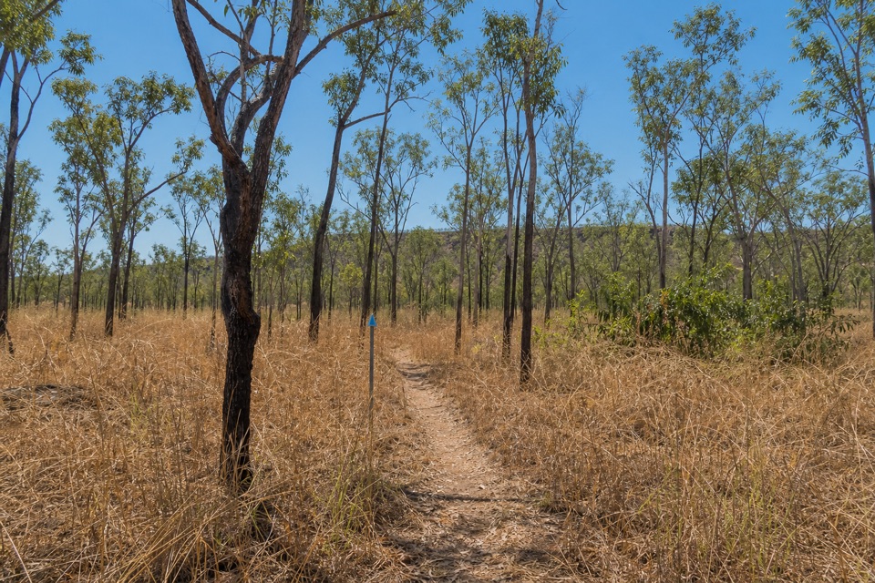 Campground · 3.5 km awayNorthern Campground (Tabletop Track)A quiet overnight stop on the hot, waterless Tabletop circuit
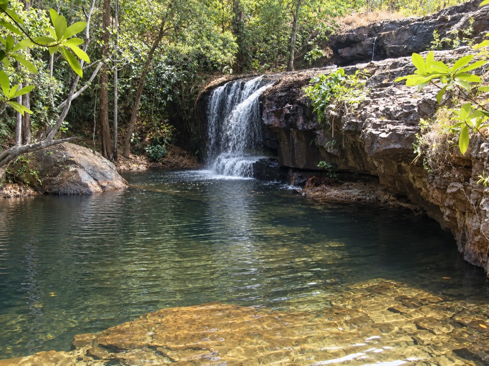 Sight · 6.8 km awayCascadesEarn your swim: rock pools and plateau lookouts on rugged tracks
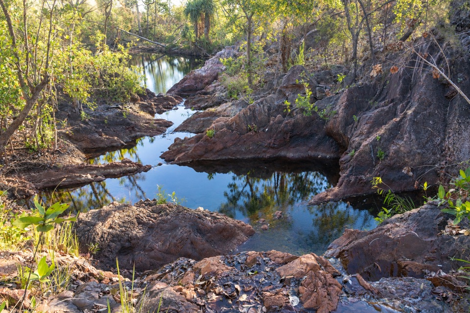 Campground · 7 km awayTjenya Falls CampgroundDry-plateau walk-in camp beside a small cascade and rock pools
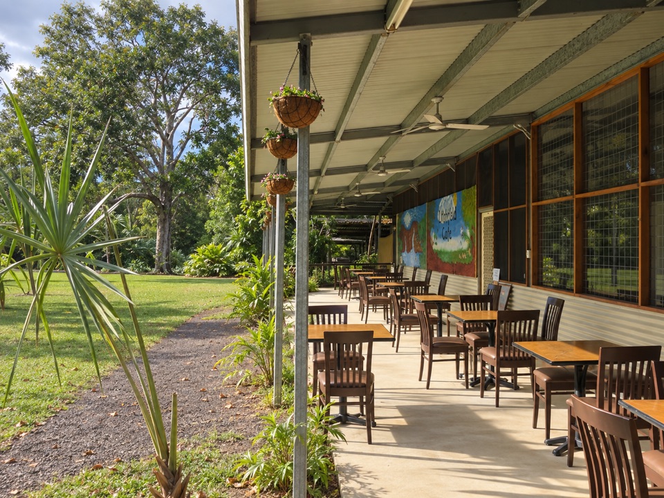 Food · 8.1 km awayLitchfield CafeShady off-grid veranda stop for coffee, beer or a seated meal
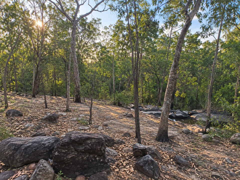 Campground · 9.3 km awaySouthern Campground (Tabletop Track)Rugged riverbed camp 15 km into the Tabletop Track loop
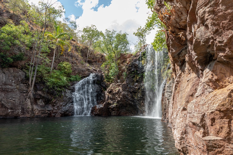 Sight · 9.6 km awayFlorence FallsSwim right up to the falls, 160 steps below the lookout
Parkwolf’s Litchfield ranking

The audio tour guide for the drive, plus offline maps, trails, and wildlife heatmaps for when the signal drops.