Parking
Start at The Cascades car park, the trailhead for both Cascades walks. Toilets and picnic tables are close to the car park.
#9 of 17 trails in Litchfield
Litchfield National Park, NT
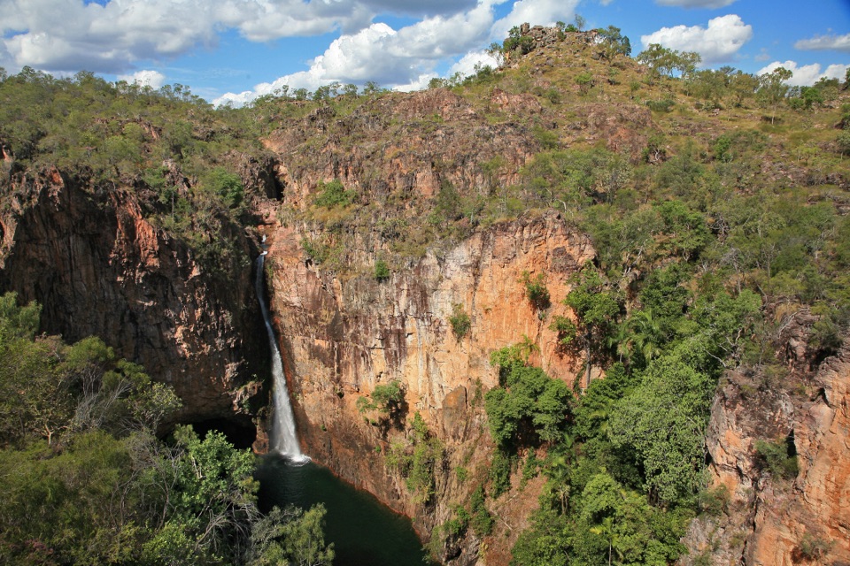
Quickest, shadiest access to Curtain Falls and its rocky plunge pool.
Overview
Map & elevation
Plan your hike

The highest, rockiest slopes around here are a summer buffet for grizzly bears.
Litchfield Tour Guide
Parkwolf is a GPS audio tour guide for Litchfield National Park. As you drive, it chimes in with what’s ahead: hidden gems, upcoming stops, history, geology, and wildlife, right through your car’s speakers.
Recorded for this trailhead
The Cascades“You're nearing the Cascades carpark, and the pools here take a proper walk over steep, uneven rock.”
Plays as you drive up to this trailhead in the Parkwolf Litchfield Tour Guide.
More stories near here in the app
“Fantastic app with many points of information… It’s great to just turn on while you’re driving and it gives you an audio tour of the national Park. We love it!!!!”


Trail guide
The Lower Cascades Walk is a 2.6 km return trail from The Cascades car park to the swimming area on Cascades Creek. Follow the lower track to Curtain Falls and its plunge pool, then return the way you came. Allow about 1.5 hours. NT Parks grades it Grade 4, moderate to difficult, which fits the rougher finish better than the modest distance suggests. Choose Lower for the quicker, shadier route to the water. The separate Upper Cascades walk climbs onto Tabletop Plateau for open views and takes longer.
From the car park, the route crosses open, grassy ground before reaching the split between the walks. Short side paths lead to timber platforms over a swampy patch; they make a quick detour and show how open the country is beyond the trees. Take the lower branch at the junction. It begins through savanna woodland, then approaches Cascades Creek and the denser monsoon forest along the water. A metal bridge marks the change in feel. Past it, the track can be muddy and uneven, with exposed stumps, before a sandy section runs close to the creek. There are pockets of shade, but also open stretches in full sun, so don't expect the canopy to cover the whole walk.
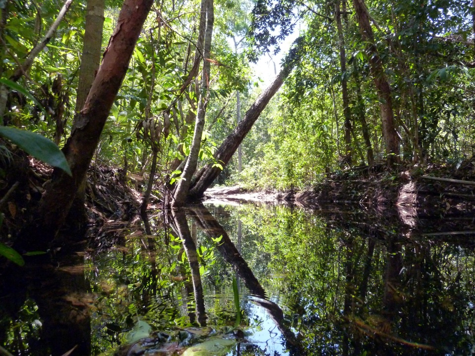
Watch the creek as it bends past fallen palms and still water. A short rocky rise takes the path above the stream and gives you a view of the channel cut through the rock. The ground here is lumpy, with an unprotected drop toward the water. The track descends over rock to another metal bridge; a chain at the descent helps with balance. The rocky pinch point can slow people, so give one another room and take your time rather than trying to pass in the narrowest section.
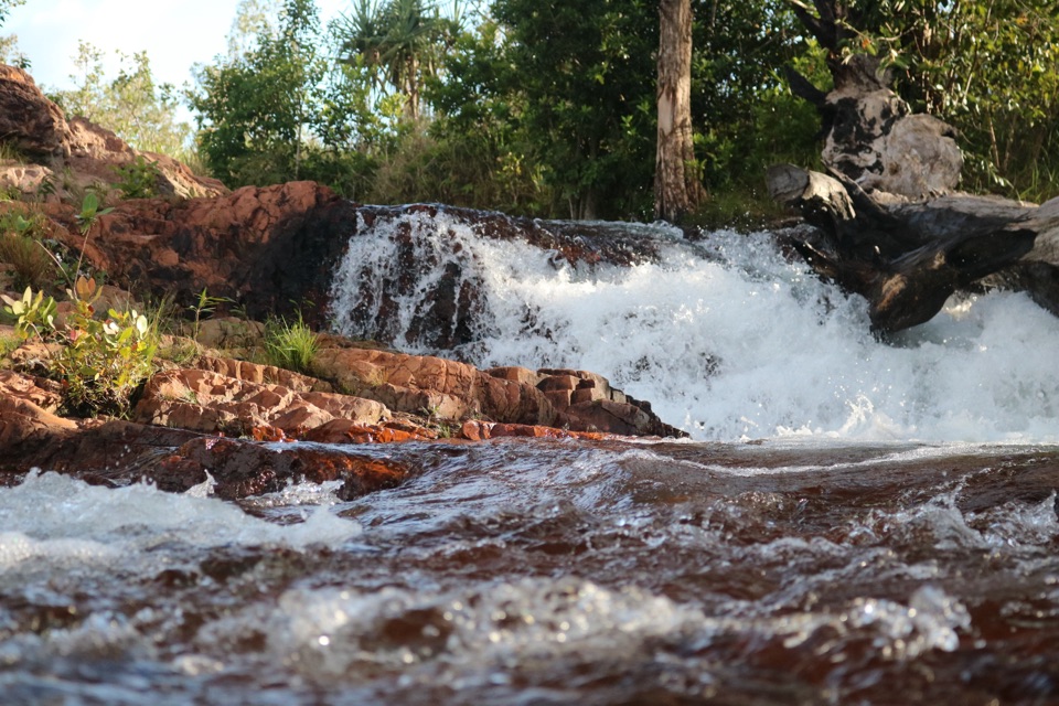
At the lower rapids the end isn't obvious. Continue up the rocky ridge to Curtain Falls, where water spills across several rock platforms into a large plunge pool. The final approach is natural rock, not a paved bathing platform, and parts of the route can be slippery. The walking is short, but this isn't a flat stroll; the rough, steep sections are why the Grade 4 rating matters.
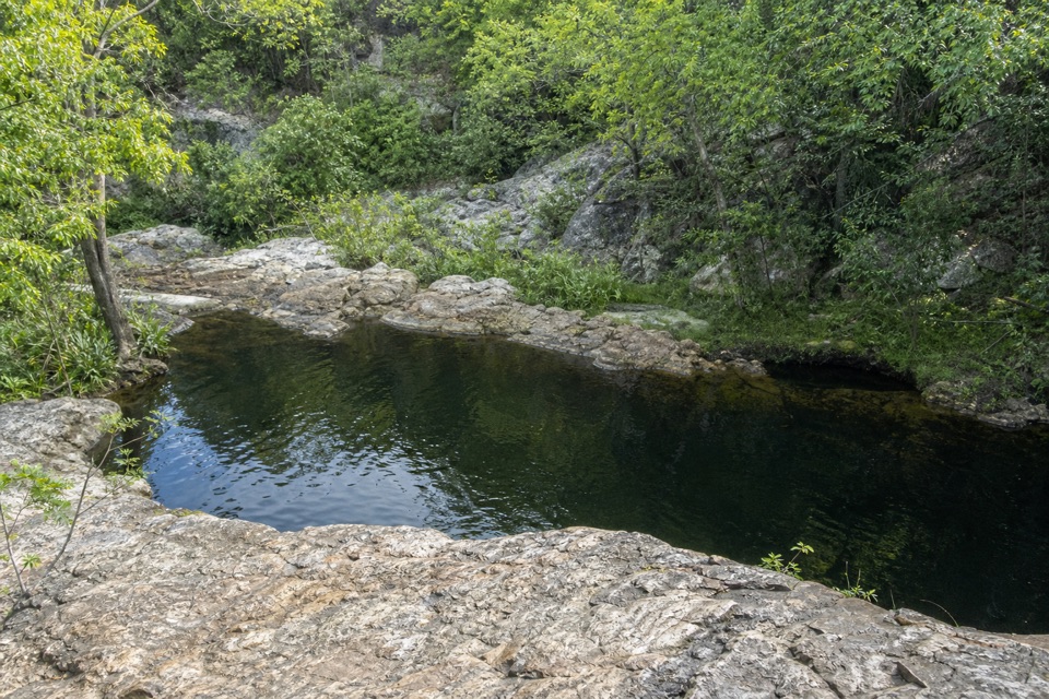
The Cascades swimming area opens across rock shelves where you can find shallow pools or small natural spas. Much of it is in full sun, with shade around Curtain Falls' plunge pool. For a photo, frame the pool with the pale rock shelves, or catch the creek bend where fallen palms reflect in still water; the creek edge gives the picture a sense of place. Toilets and picnic tables are close to the car park. NT Parks requires a visitor pass for the park, and pets aren't permitted; assistance animals are covered by the NT rules. The Lower Walk closes in the wet season when water levels rise, because of flooding and increased crocodile risk. Check the park's current access information before driving out.
Keep exploring
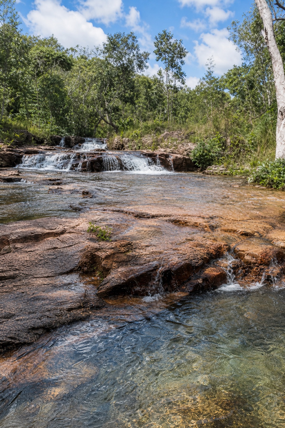 ModerateUpper Cascades Walk3.3 km · 2 hr · At the trailheadA rocky climb opens onto plateau lookouts and stepped cascades.
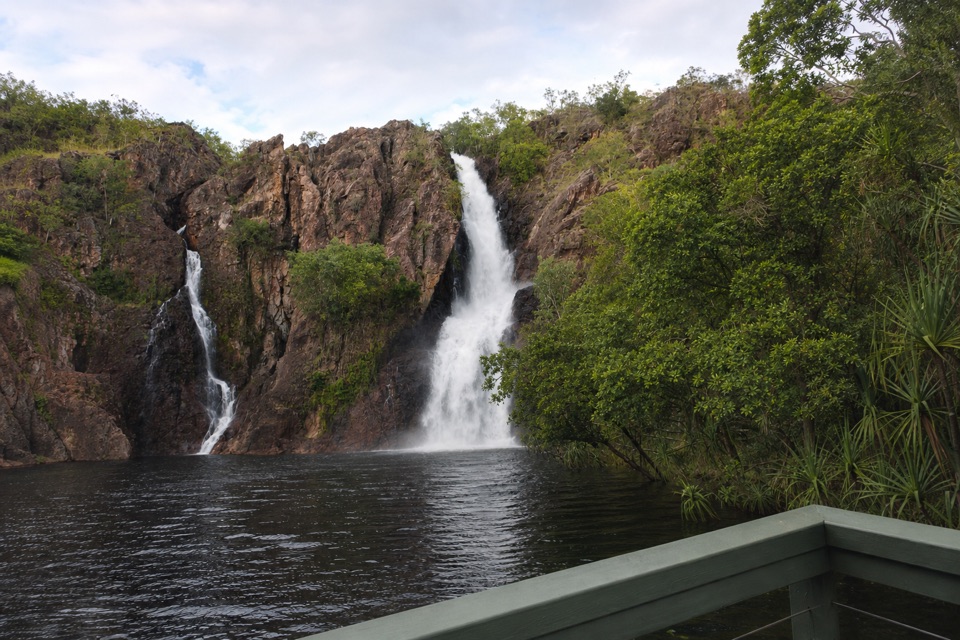 ChallengingTabletop Track: Wangi Falls to Walker Creek20.2 km · 12 hr · 4.5 km awayA rugged two-day Tabletop crossing with waterfalls and long dry stretches.
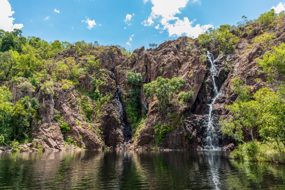 ModerateWangi Falls Walk1.6 km · 1 hr · 4.7 km awayA short loop pairs the plunge pool with an escarpment climb.
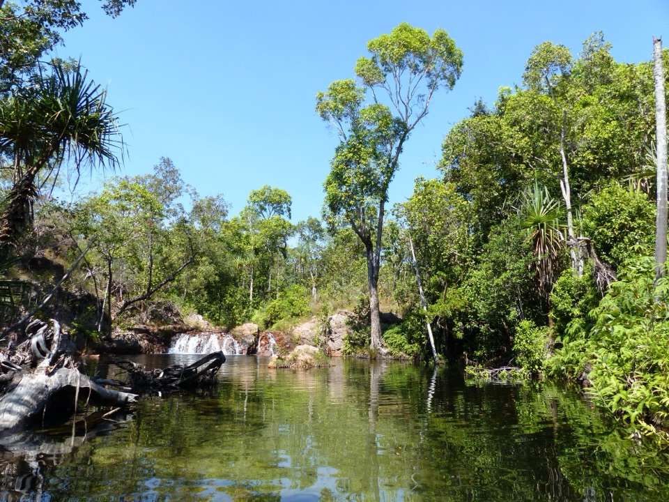 EasyWalker Creek Track3.5 km · 2 hr · 6.8 km awayCreek pools, a monsoon-forest boardwalk and a climb above the valley.
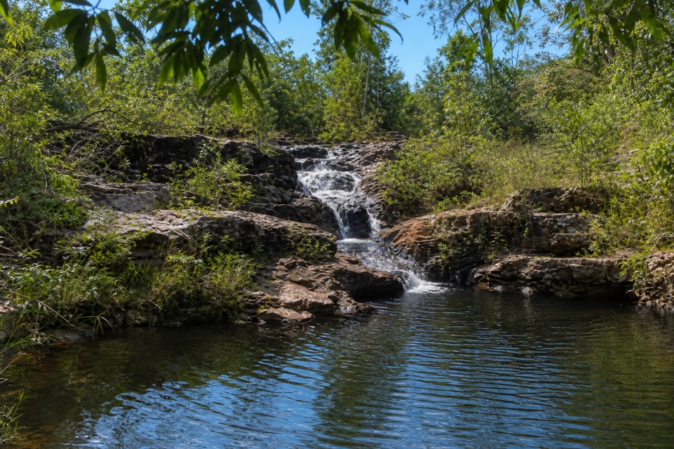 ModerateRocky Falls Day Use Area Walk1.2 km · 30 min · 6.8 km awayA quick creekside out-and-back to low rapids and a swimming spot.
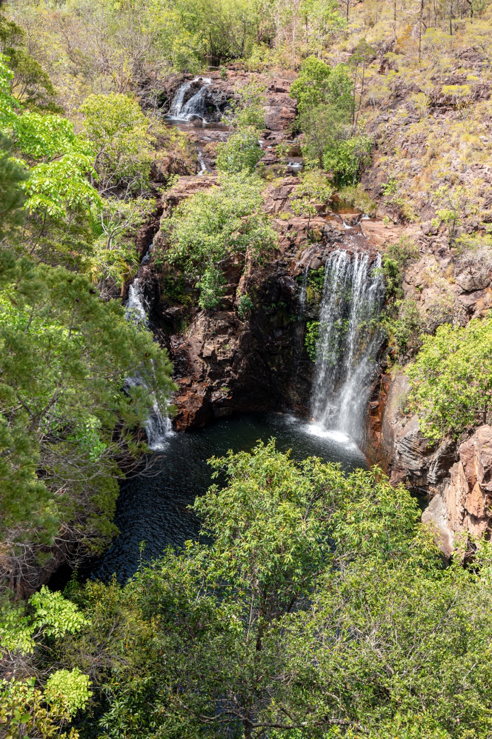 ChallengingTabletop Track: Walker Creek to Florence Falls13.3 km · 8 hr · 6.8 km awayCycads and a creek break up a long, exposed Tabletop crossing.
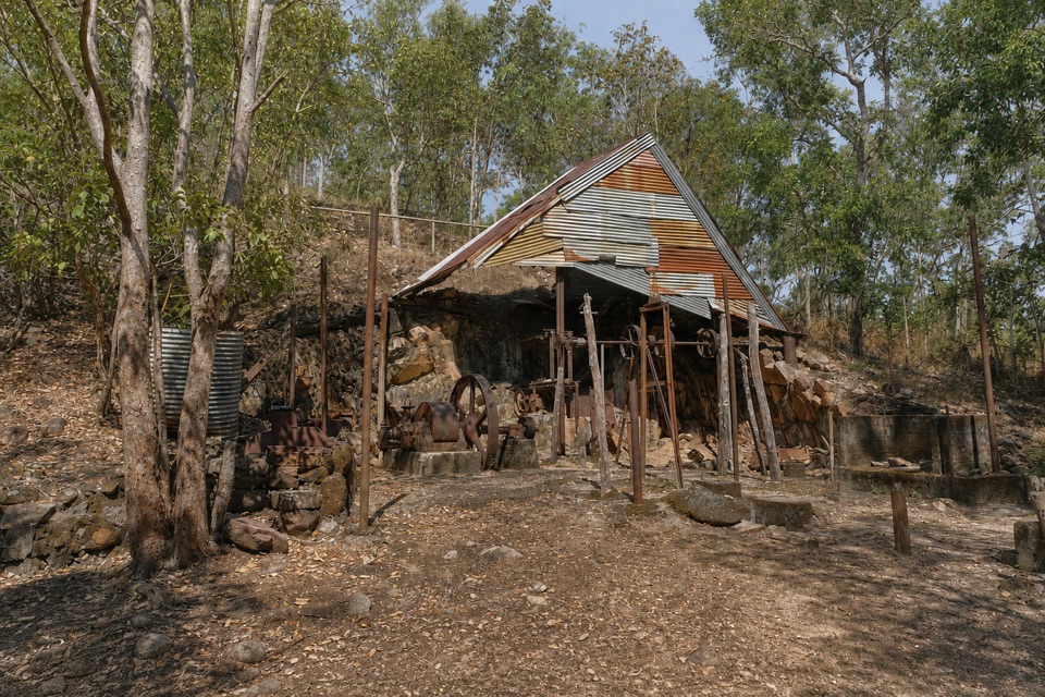 EasyBamboo Creek Tin Mine Walk0.6 km · 30 min · 8.6 km awayStone ruins, water tanks and an old engine on a short loop.
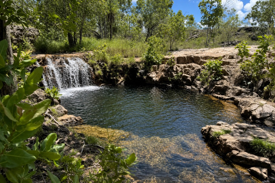 ModerateGreenant Creek Walk3.1 km · 1.5 hr · 9.2 km awayShade gives way to a steep climb and a falls lookout.
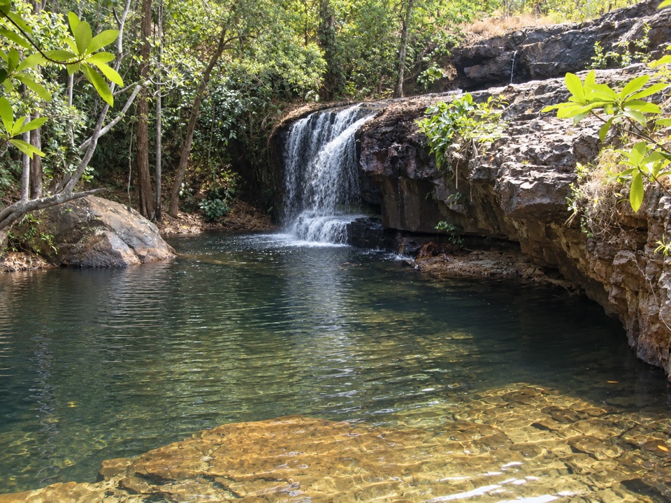 Sight · At the trailheadCascadesEarn your swim: rock pools and plateau lookouts on rugged tracks
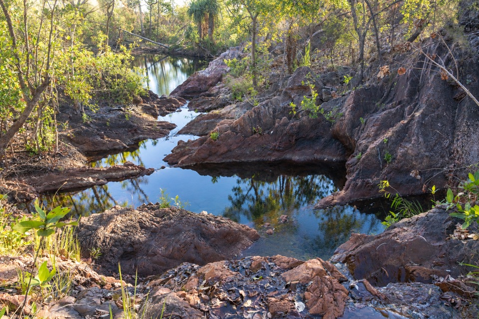 Campground · 1.2 km awayTjenya Falls CampgroundDry-plateau walk-in camp beside a small cascade and rock pools
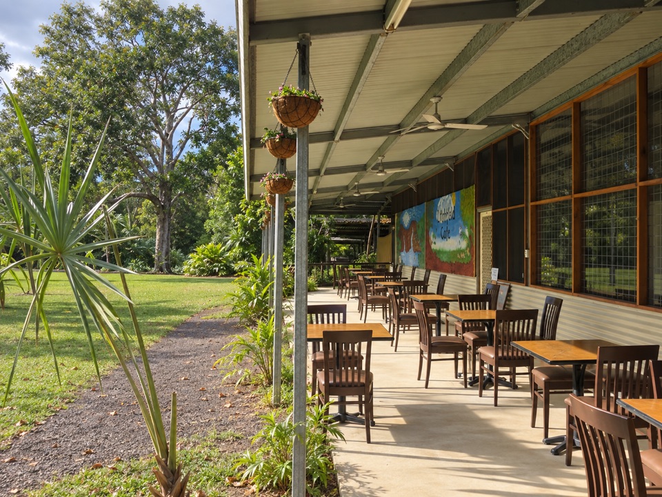 Food · 1.3 km awayLitchfield CafeShady off-grid veranda stop for coffee, beer or a seated meal
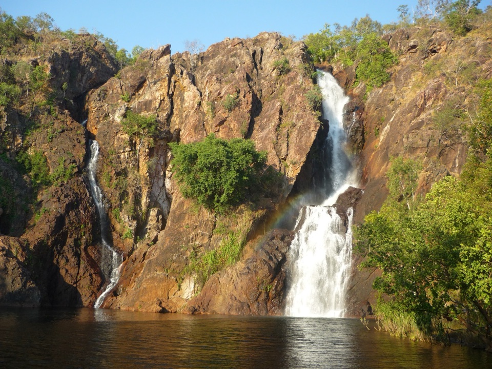 Campground · 4.4 km awayWangi Falls CampgroundCamp minutes from year-round falls and a deep monsoon-forest pool
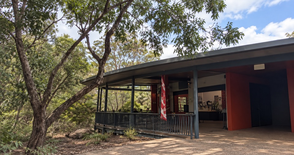 Food · 4.5 km awayWangi Falls CafeShaded open-air kiosk steps from the plunge pool, with cold drinksSight · 4.8 km awayWangi FallsTwin falls into a deep swimming pool, minutes from the carparkCampground · 6.9 km awayWalker CreekWalk-in creek camps, shallow cascades and clear pools to swim
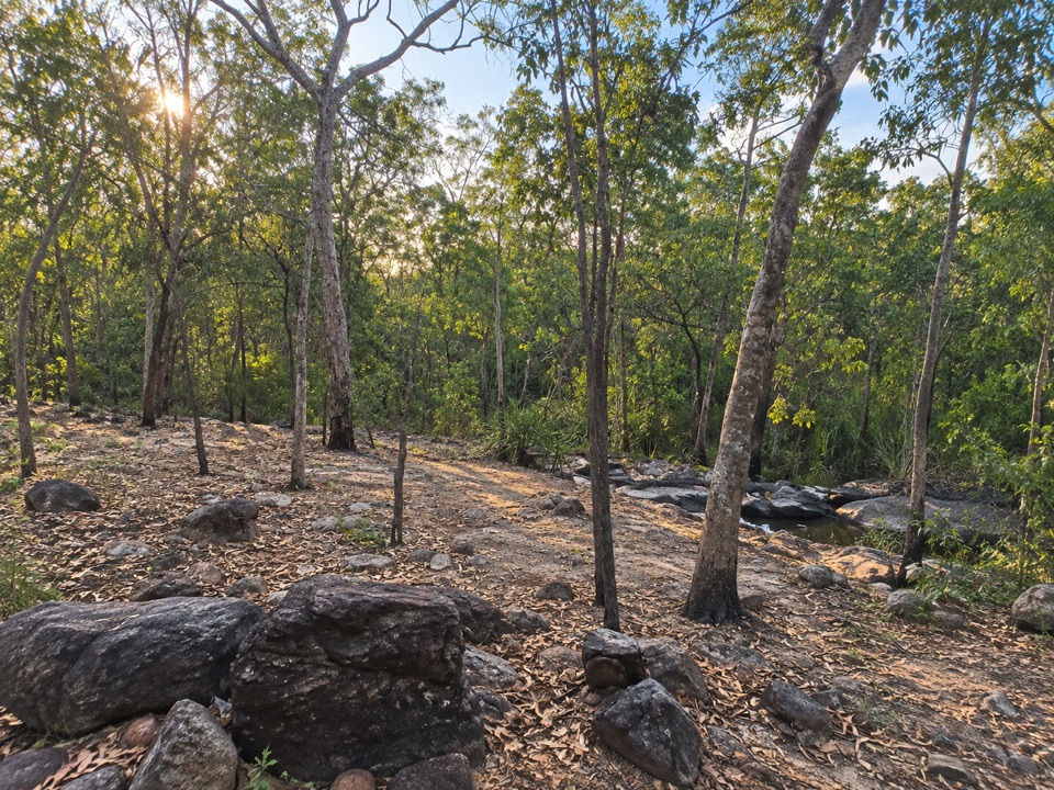 Campground · 7.1 km awaySouthern Campground (Tabletop Track)Rugged riverbed camp 15 km into the Tabletop Track loop
Parkwolf’s Litchfield ranking

The audio tour guide for the drive, plus offline maps, trails, and wildlife heatmaps for when the signal drops.