Parking
Start at Walker Creek Carpark, the marked Walker Creek access. Finish at Florence Falls access/carpark; arrange a vehicle transfer or pickup between the two ends before starting.
Litchfield National Park, NT
Cycads and a creek break up a long, exposed Tabletop crossing.
Overview
Map & elevation
Plan your hike

The highest, rockiest slopes around here are a summer buffet for grizzly bears.
Litchfield Tour Guide
Parkwolf is a GPS audio tour guide for Litchfield National Park. As you drive, it chimes in with what’s ahead: hidden gems, upcoming stops, history, geology, and wildlife, right through your car’s speakers.
Recorded for this area
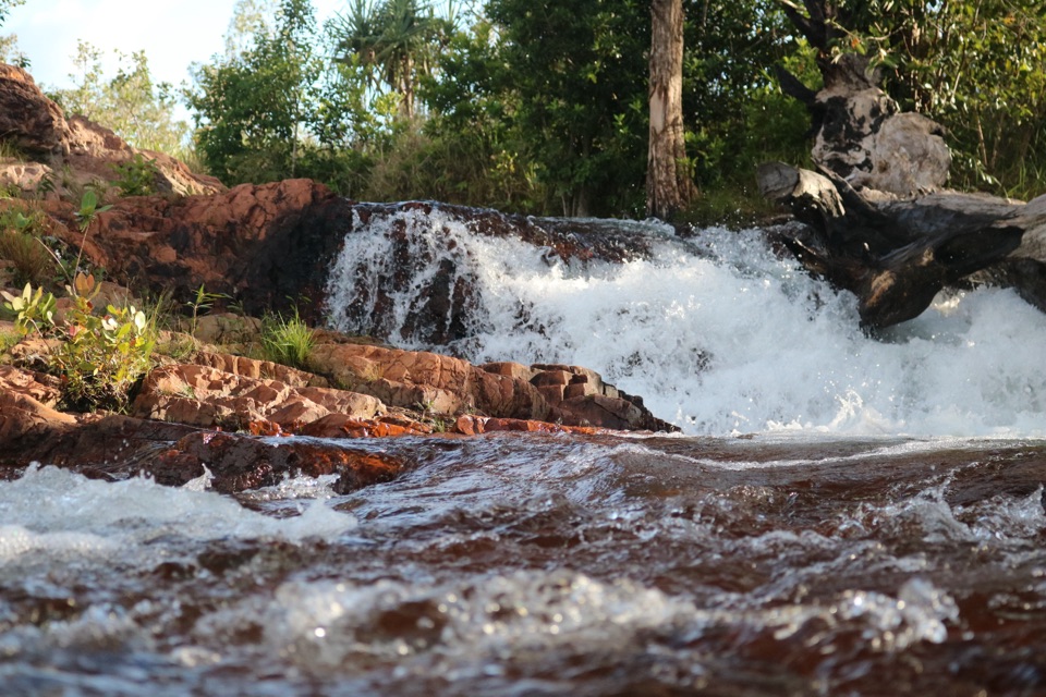
Walker Creek and Rocky Falls“You're approaching Walker Creek, where clear pools and low cascades offer a smaller-scale swim than the park's big falls.”
Plays near this trailhead in the Parkwolf Litchfield Tour Guide.
More stories near here in the app
“Fantastic app with many points of information… It’s great to just turn on while you’re driving and it gives you an audio tour of the national Park. We love it!!!!”


Trail guide
Walker Creek to Florence Falls is a 13.3 km point-to-point section of the Tabletop Track, from Walker Creek Carpark to the Florence Falls access. The distance includes about 3.7 km of access walking from Walker Creek, 8.4 km between the Tabletop junctions, and about 1.2 km of access at Florence Falls. This is a Grade 4 backcountry crossing, not two short endpoint walks joined together; allow one to two days as your pace and camping plan require.
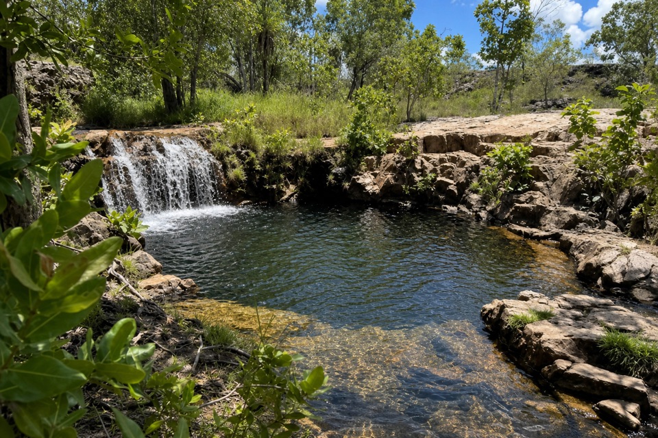
After the Walker Creek approach, the Tabletop section crosses open, rocky ground with cycad groves, little shade and steep stretches. A picturesque creek lies about six kilometres into the junction-to-junction section. The route drops into its valley and climbs out again, so expect changes in footing and grade rather than a flat contour walk. Directional markers can be limited on this remote track; keep your route map available and check junctions before continuing.
Heat, exposure and rough rock make this harder than the distance alone suggests. Facilities are minimal and surface water may be scarce, so carry your own food and drinking water for the crossing rather than planning to refill from creeks. The Tabletop track usually opens seasonally from June through September and can close temporarily for safety or management reasons.
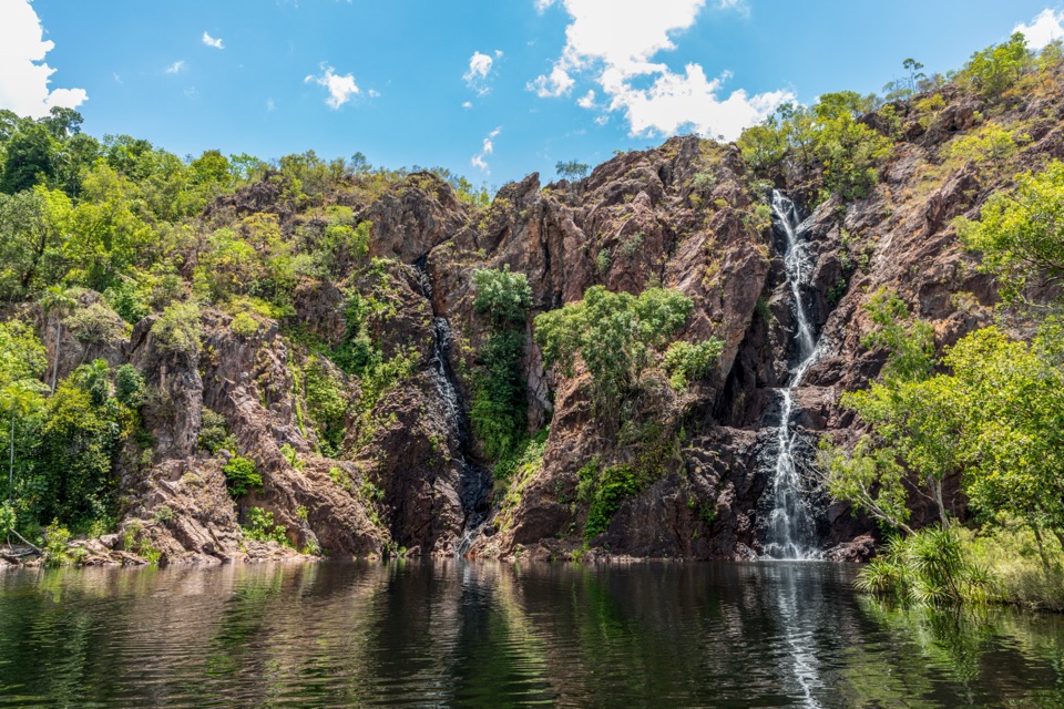
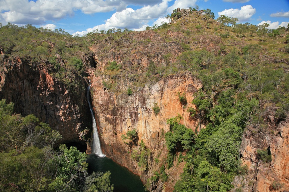
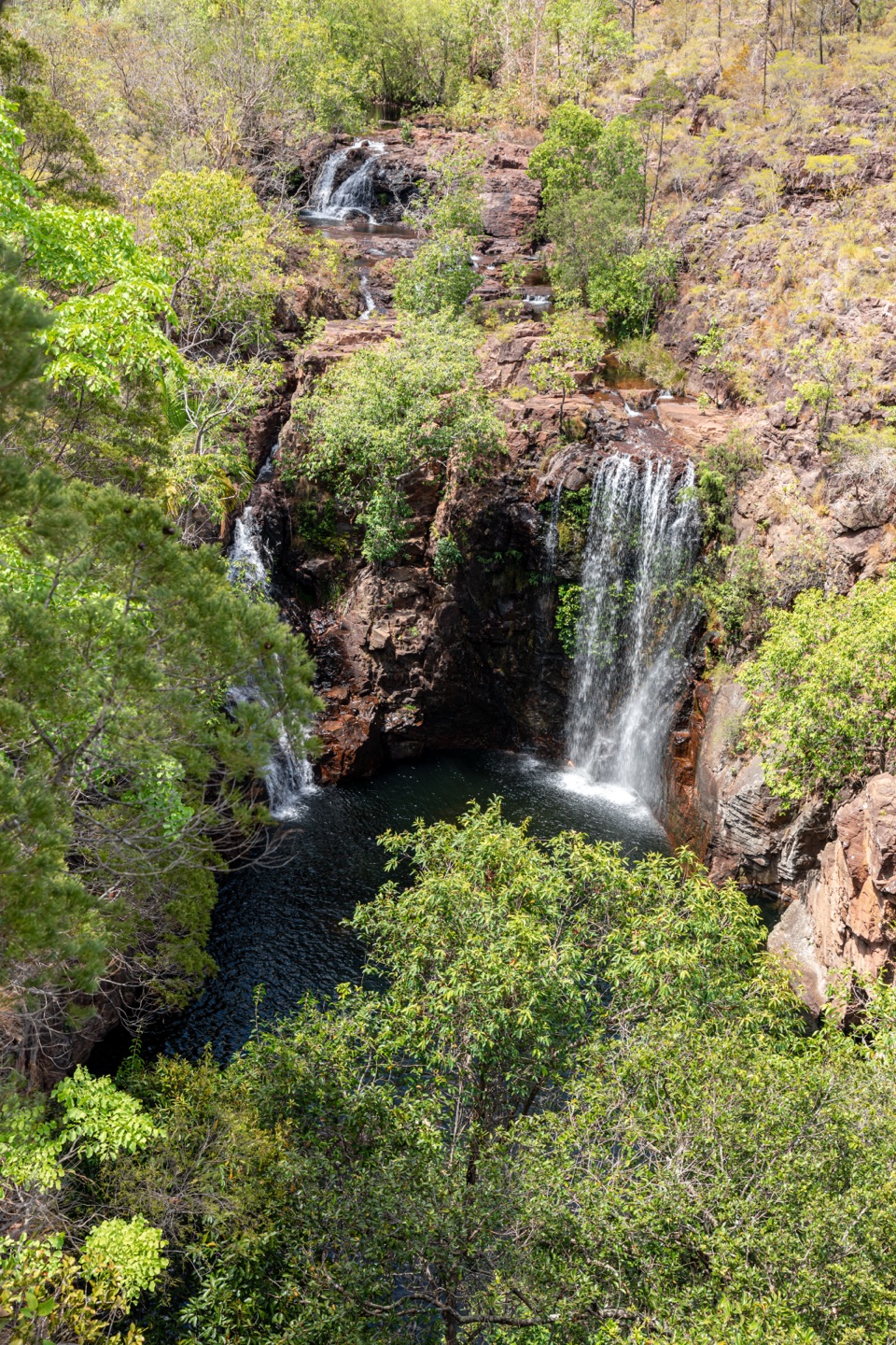
Start at Walker Creek Carpark/access and finish at Florence Falls access. This is not a loop, so arrange your vehicle transfer or pickup before setting out. Plan for a full day on foot; an overnight break is possible only at a designated campground, with booking and payment done online in advance. Pets are not allowed. At the Florence Falls end, the cliff observation deck frames the waterfall; include the rock wall to show its scale in a phone photo.
Keep exploring
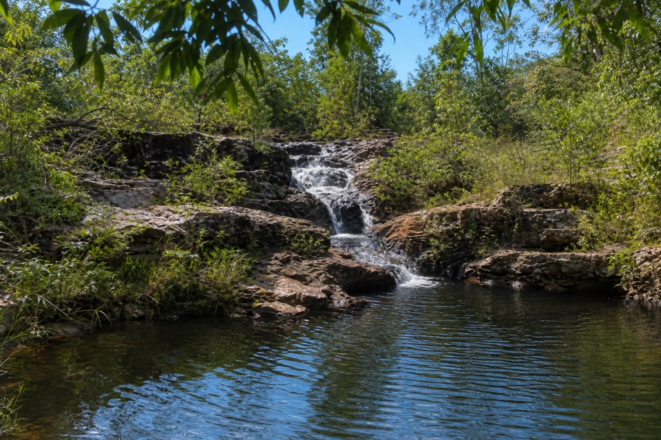 ModerateRocky Falls Day Use Area Walk1.2 km · 30 min · At the trailheadA quick creekside out-and-back to low rapids and a swimming spot.
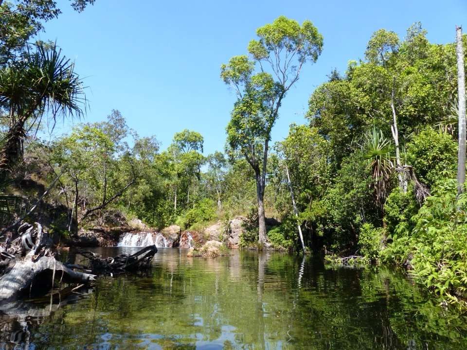 EasyWalker Creek Track3.5 km · 2 hr · At the trailheadCreek pools, a monsoon-forest boardwalk and a climb above the valley.
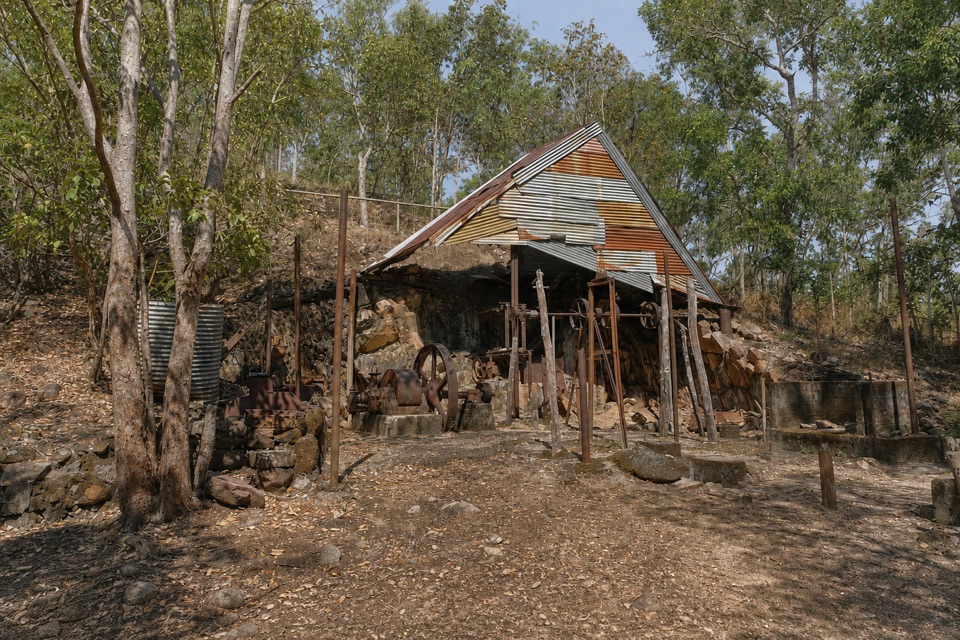 EasyBamboo Creek Tin Mine Walk0.6 km · 30 min · 1.8 km awayStone ruins, water tanks and an old engine on a short loop.
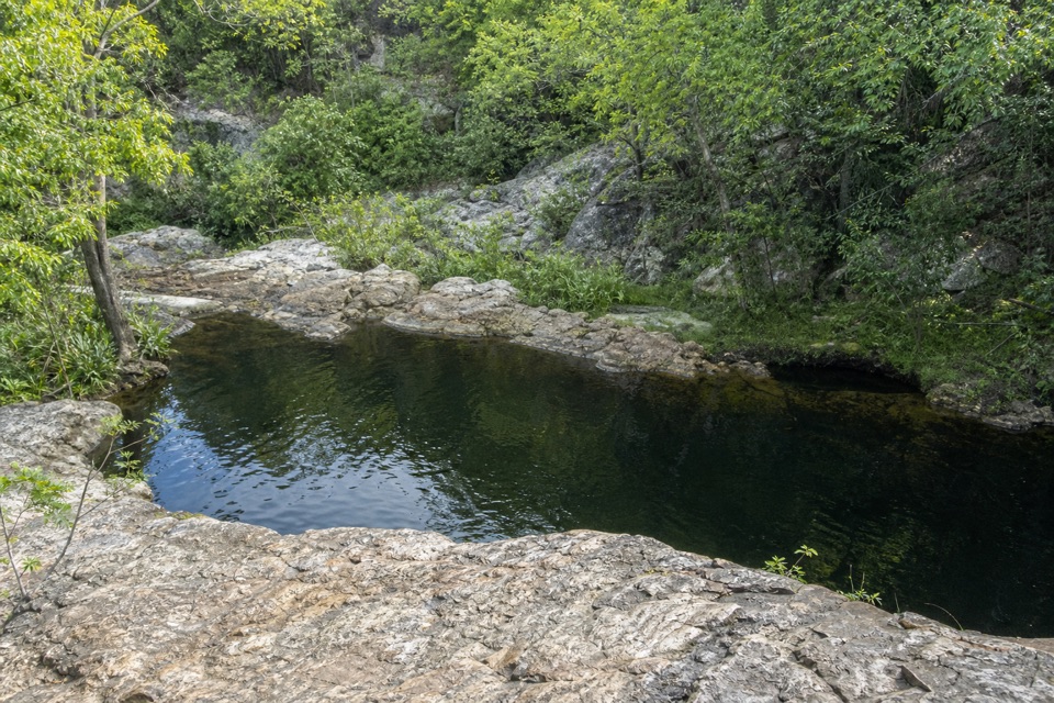 ModerateLower Cascades Walk2.6 km · 1.5 hr · 6.8 km awayQuickest, shadiest access to Curtain Falls and its rocky plunge pool.
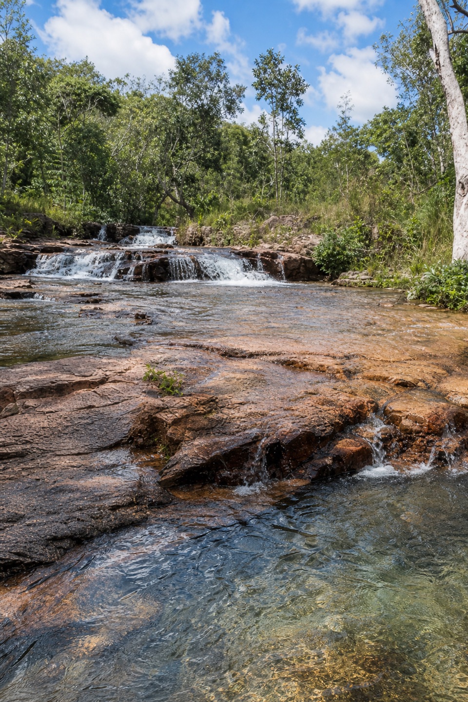 ModerateUpper Cascades Walk3.3 km · 2 hr · 6.8 km awayA rocky climb opens onto plateau lookouts and stepped cascades.
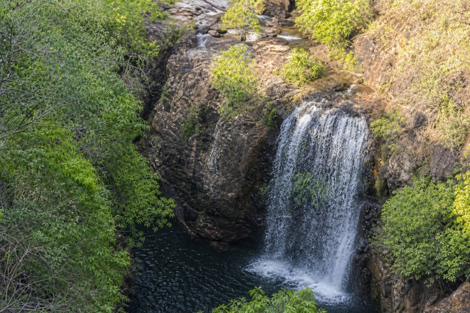 ChallengingTabletop Track Full Circuit38.9 km · 4 days · 8.9 km awayA remote, rocky four-day loop through Litchfield creek country
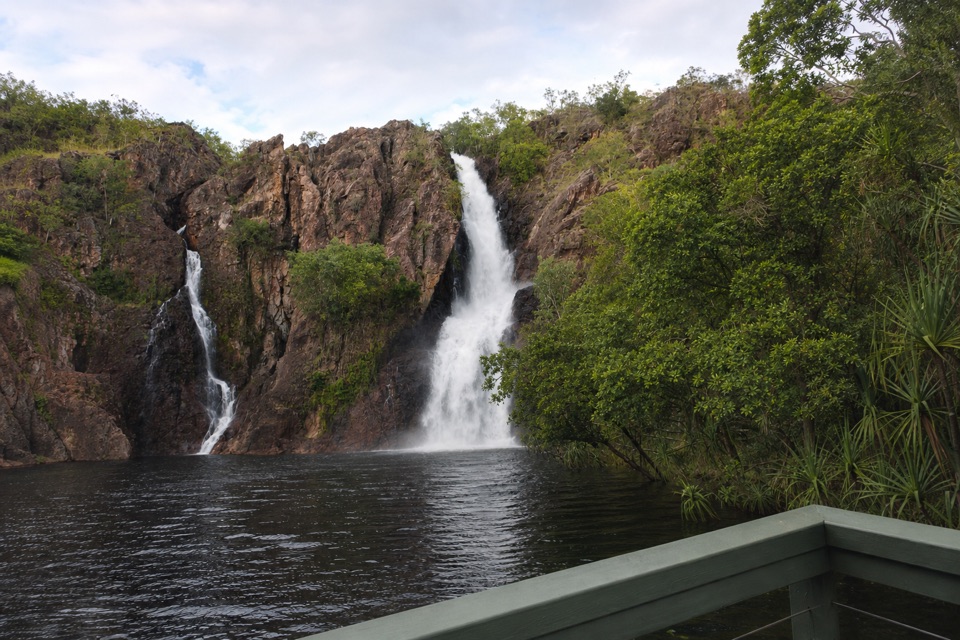 ChallengingTabletop Track: Wangi Falls to Walker Creek20.2 km · 12 hr · 9.6 km awayA rugged two-day Tabletop crossing with waterfalls and long dry stretches.
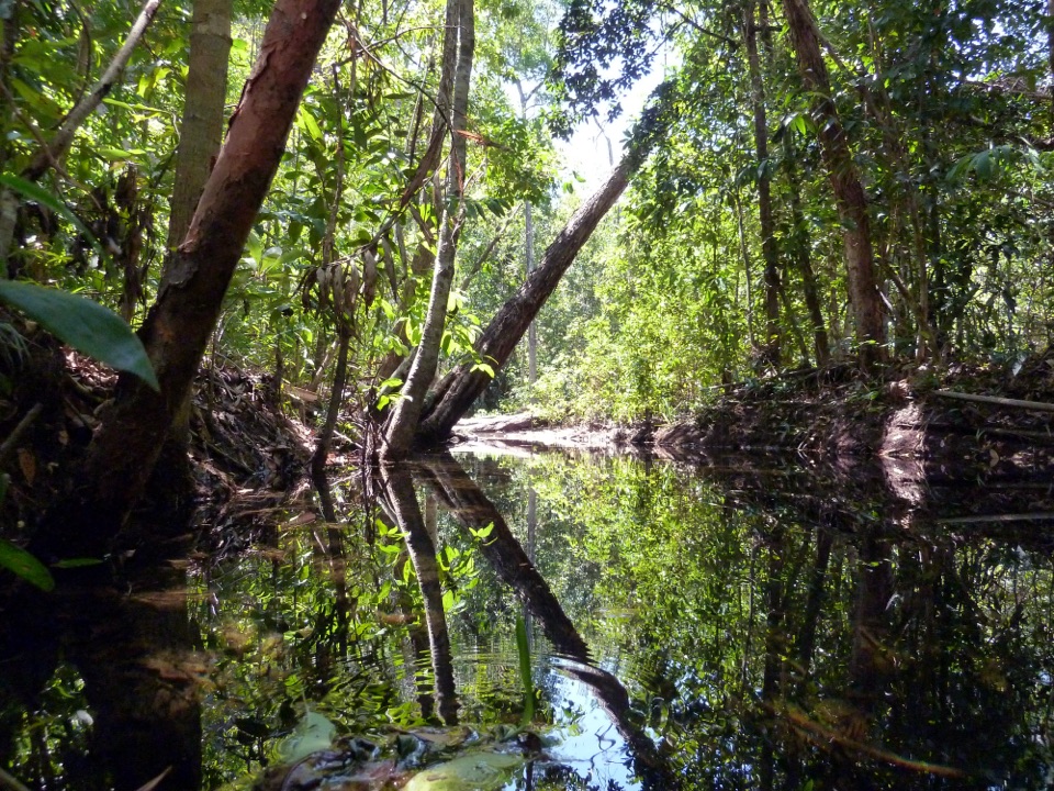 ModerateShady Creek Walk1.6 km · 45 min · 9.7 km awayA creekside loop to a Top End waterfall and plunge pool.Campground · 0.1 km awayWalker CreekWalk-in creek camps, shallow cascades and clear pools to swim
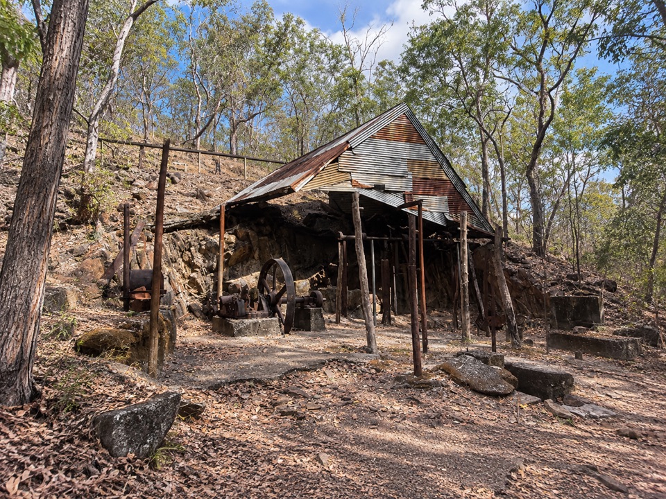 Sight · 1.8 km awayBamboo Creek Tin MineEarly-1900s tin workings and stone quarters on a short 4WD-access loop
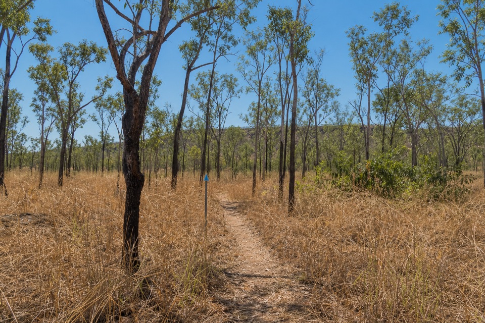 Campground · 3.5 km awayNorthern Campground (Tabletop Track)A quiet overnight stop on the hot, waterless Tabletop circuit
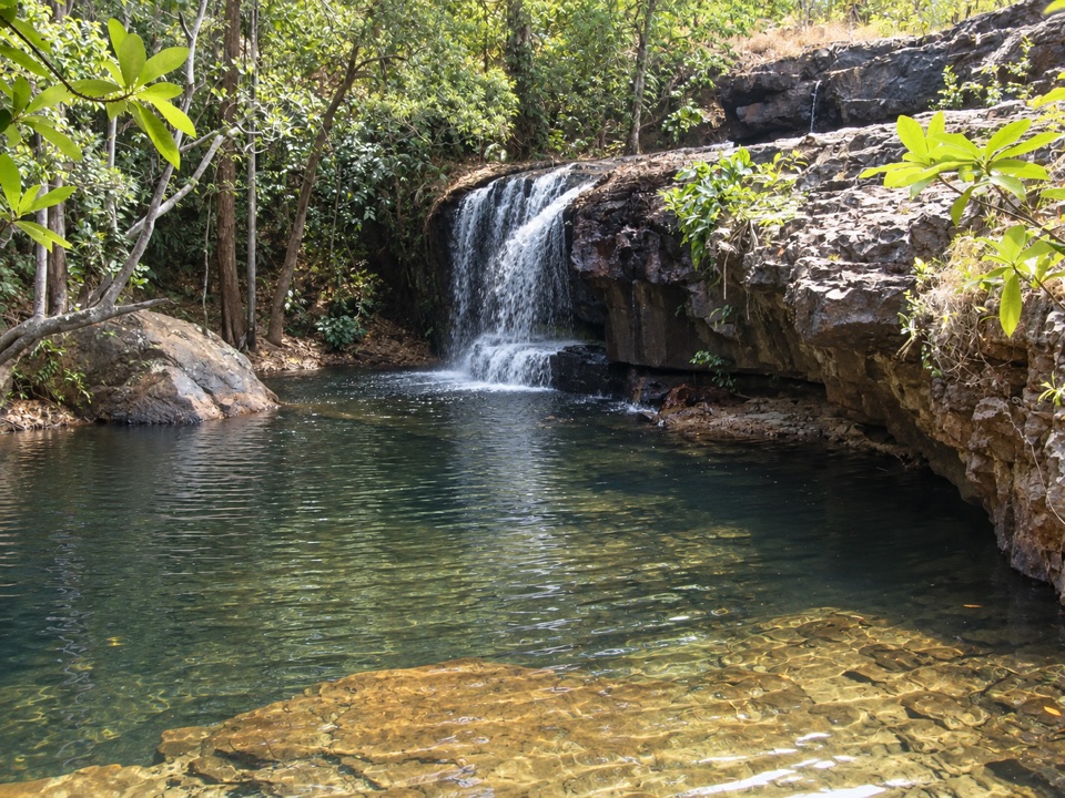 Sight · 6.8 km awayCascadesEarn your swim: rock pools and plateau lookouts on rugged tracks
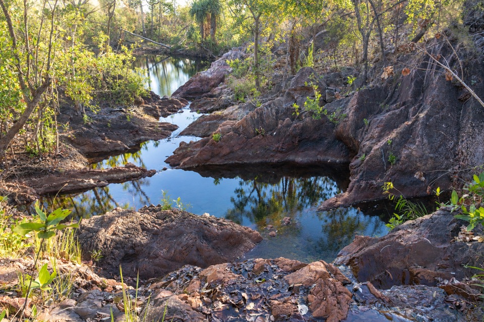 Campground · 7 km awayTjenya Falls CampgroundDry-plateau walk-in camp beside a small cascade and rock pools
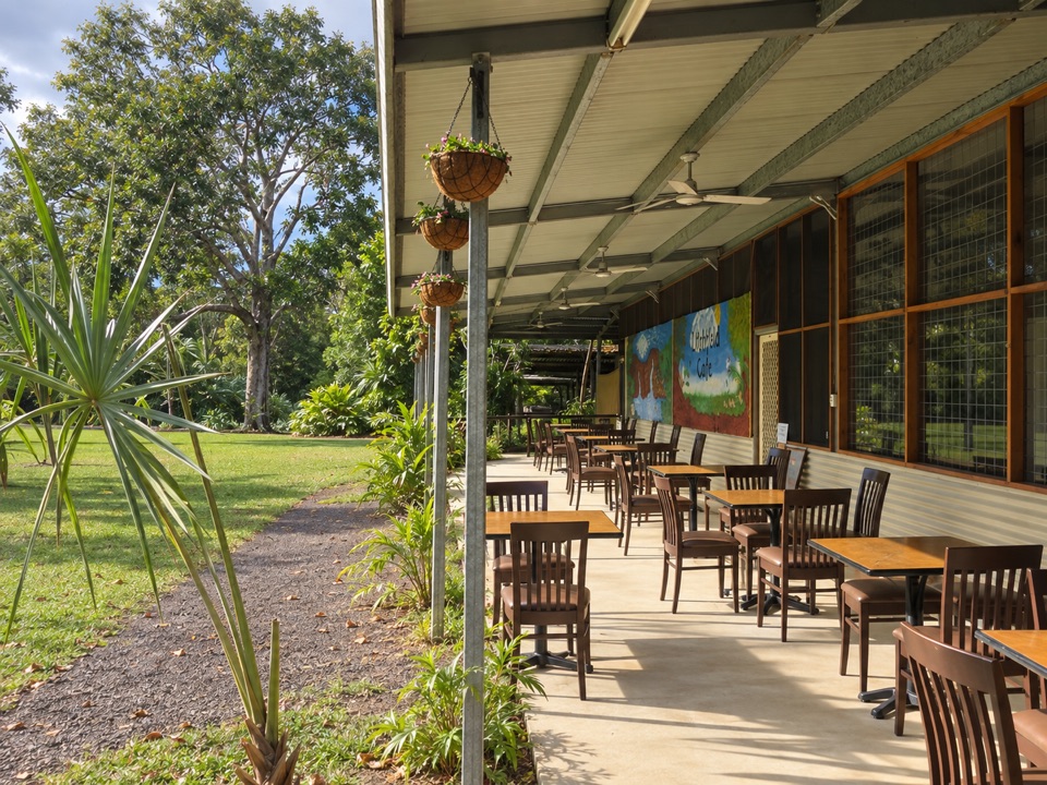 Food · 8.1 km awayLitchfield CafeShady off-grid veranda stop for coffee, beer or a seated meal
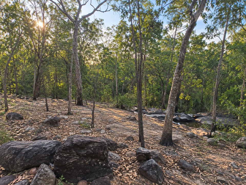 Campground · 9.3 km awaySouthern Campground (Tabletop Track)Rugged riverbed camp 15 km into the Tabletop Track loop
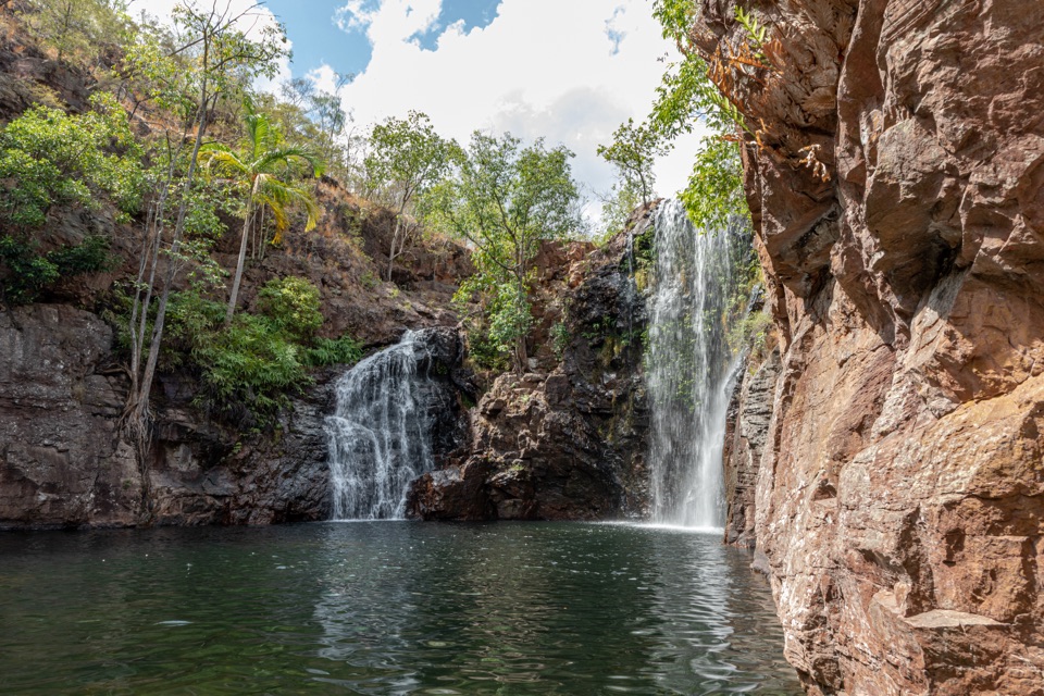 Sight · 9.6 km awayFlorence FallsSwim right up to the falls, 160 steps below the lookout
Parkwolf’s Litchfield ranking

The audio tour guide for the drive, plus offline maps, trails, and wildlife heatmaps for when the signal drops.