Parking
Use the named Bamboo Creek Tin Mine carpark; the loop starts and ends there.
Litchfield National Park, NT
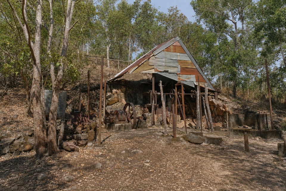
Stone ruins, water tanks and an old engine on a short loop.
Overview
Map & elevation
Plan your hike

The highest, rockiest slopes around here are a summer buffet for grizzly bears.
Litchfield Tour Guide
Parkwolf is a GPS audio tour guide for Litchfield National Park. As you drive, it chimes in with what’s ahead: hidden gems, upcoming stops, history, geology, and wildlife, right through your car’s speakers.
Recorded for this trailhead
Bamboo Creek Tin Mine“You're nearing Bamboo Creek Tin Mine, where a short walking loop takes you past the remains of a small operation begun around 1906.”
Plays as you drive up to this trailhead in the Parkwolf Litchfield Tour Guide.
More stories near here in the app
“Fantastic app with many points of information… It’s great to just turn on while you’re driving and it gives you an audio tour of the national Park. We love it!!!!”


Trail guide
Bamboo Creek Tin Mine Walk is a roughly 0.4-mile (600 m) circuit from the Bamboo Creek Tin Mine carpark in Litchfield National Park. The easy route crosses Bamboo Creek and circles the old workings; allow about half an hour to look around. Its payoff is a compact site visit focused on the mine remains.
The path reaches stone remains of miners' living quarters, climbs toward the mine-shaft area, passes two water tanks, then descends to the mill and its old engine. Mining began around 1906, continued only sporadically, and ended in 1955. Some machinery parts were removed over the years, but the mill ruins and engine still show how the ore was processed.
You cross Bamboo Creek and encounter two short stair sections, both of which can be bypassed. Stay out of the old mine shaft. Pets aren't permitted in NT parks; assistance animals are allowed. Most visitors from outside the Northern Territory need an NT Parks Visitor Pass; NT residents are exempt. Start and finish at the named carpark.
Keep exploring
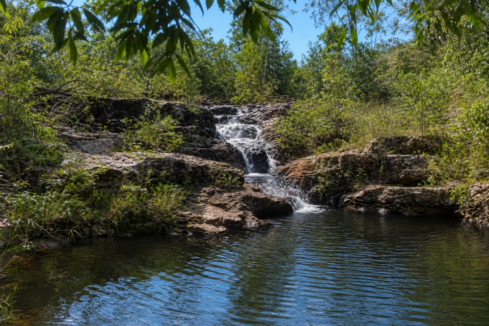 ModerateRocky Falls Day Use Area Walk1.2 km · 30 min · 1.8 km awayA quick creekside out-and-back to low rapids and a swimming spot.
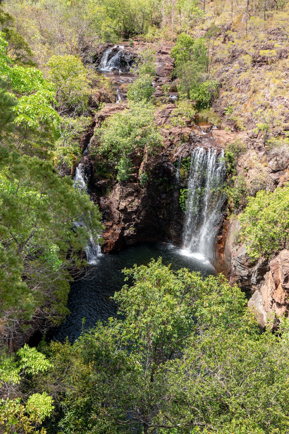 ChallengingTabletop Track: Walker Creek to Florence Falls13.3 km · 8 hr · 1.8 km awayCycads and a creek break up a long, exposed Tabletop crossing.
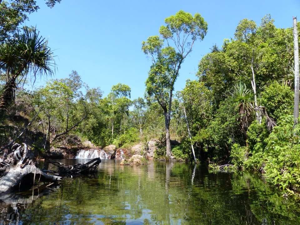 EasyWalker Creek Track3.5 km · 2 hr · 1.8 km awayCreek pools, a monsoon-forest boardwalk and a climb above the valley.
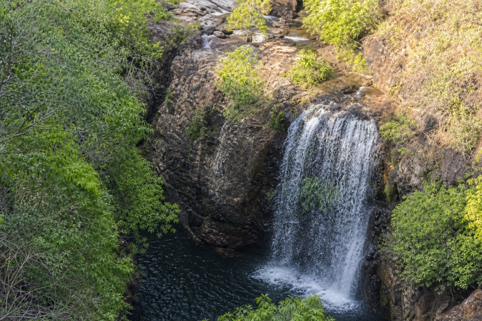 ChallengingTabletop Track Full Circuit38.9 km · 4 days · 8 km awayA remote, rocky four-day loop through Litchfield creek country
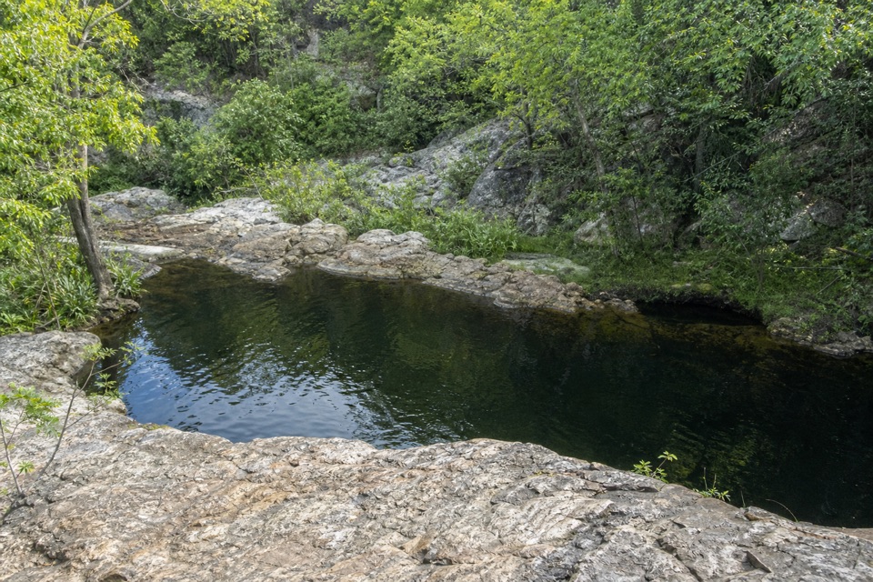 ModerateLower Cascades Walk2.6 km · 1.5 hr · 8.6 km awayQuickest, shadiest access to Curtain Falls and its rocky plunge pool.
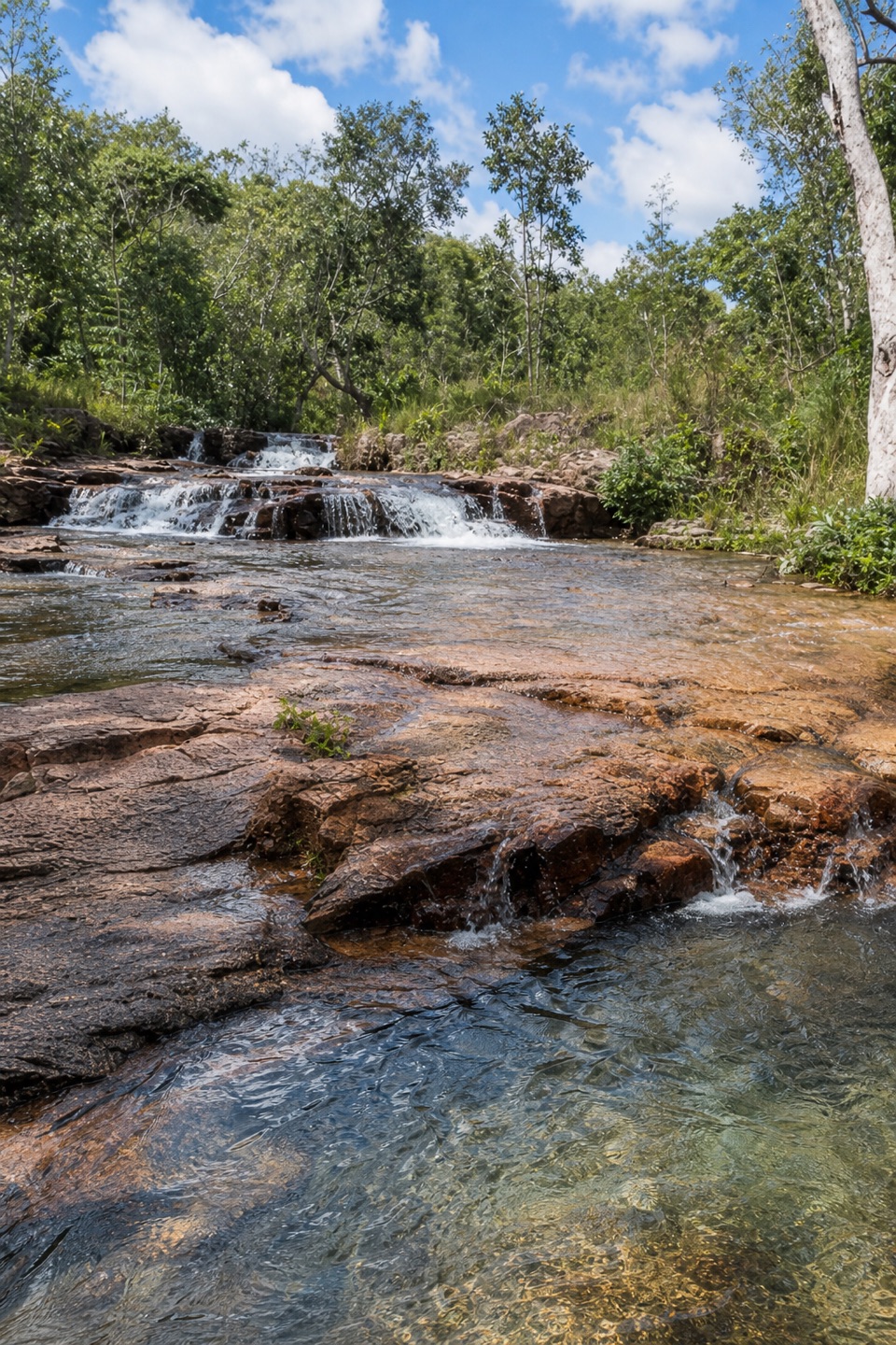 ModerateUpper Cascades Walk3.3 km · 2 hr · 8.6 km awayA rocky climb opens onto plateau lookouts and stepped cascades.
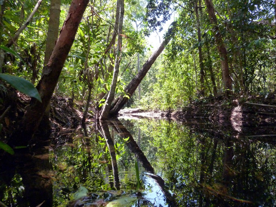 ModerateShady Creek Walk1.6 km · 45 min · 8.7 km awayA creekside loop to a Top End waterfall and plunge pool.
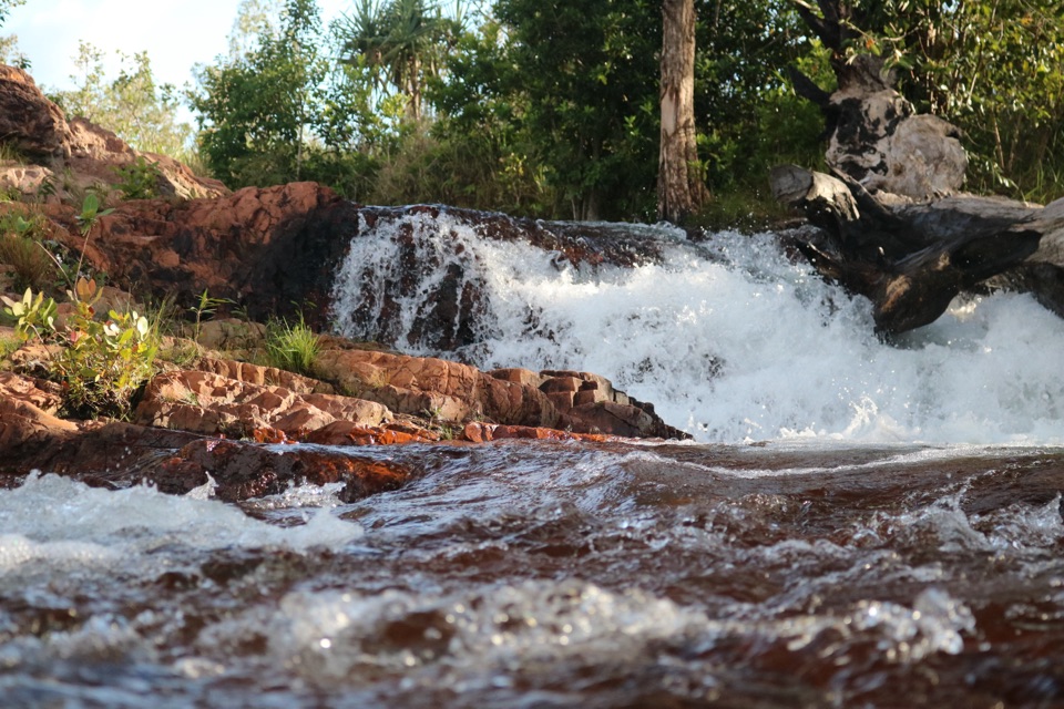 EasyFlorence Creek Walk3.2 km · 1.5 hr · 8.7 km awayFollow Florence Creek through rainforest and woodland to Buley’s pools.
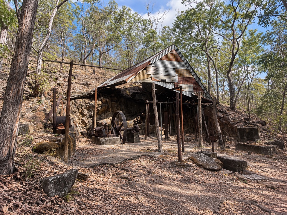 Sight · 0.2 km awayBamboo Creek Tin MineEarly-1900s tin workings and stone quarters on a short 4WD-access loopCampground · 1.8 km awayWalker CreekWalk-in creek camps, shallow cascades and clear pools to swim
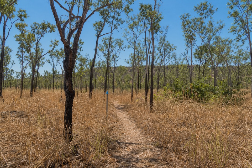 Campground · 2.4 km awayNorthern Campground (Tabletop Track)A quiet overnight stop on the hot, waterless Tabletop circuit
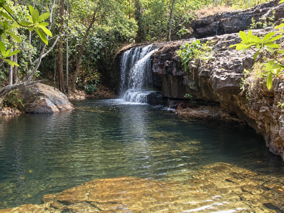 Sight · 8.6 km awayCascadesEarn your swim: rock pools and plateau lookouts on rugged tracks
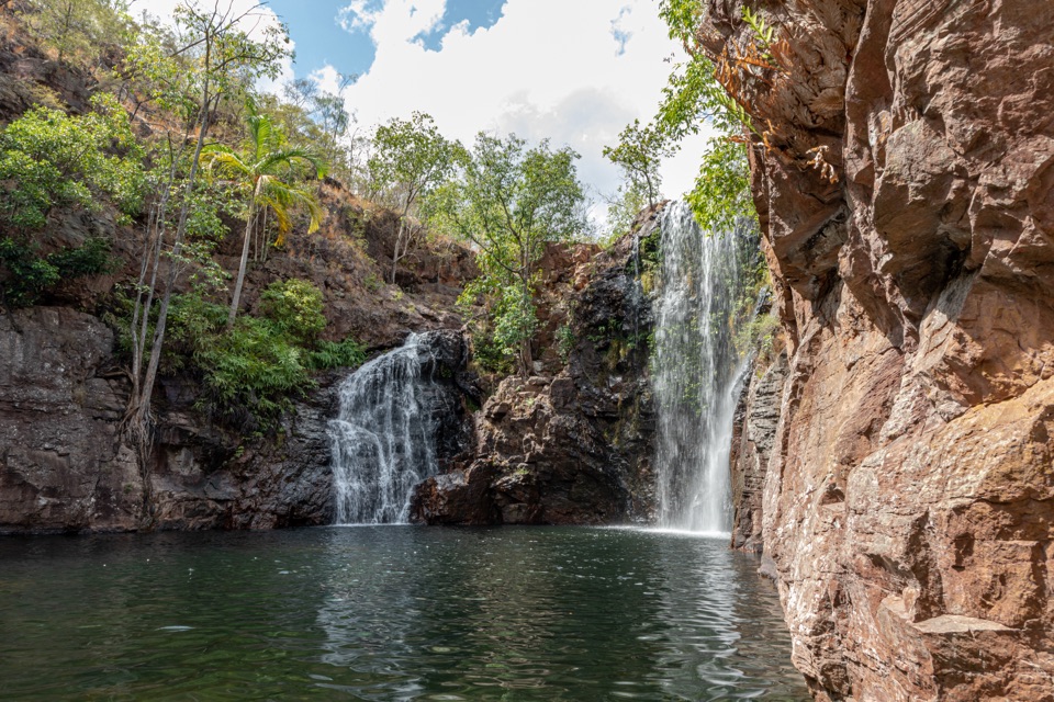 Sight · 8.6 km awayFlorence FallsSwim right up to the falls, 160 steps below the lookout
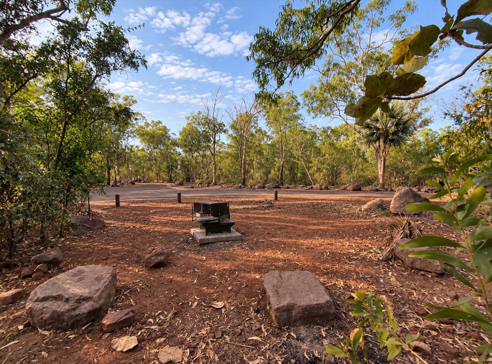 Campground · 8.6 km awayFlorence Falls 2WD CampgroundCaravan-friendly camp with 160 steps down to a year-round waterfall pool
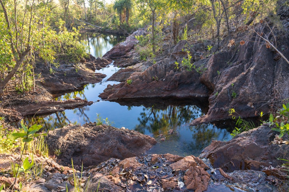 Campground · 8.7 km awayTjenya Falls CampgroundDry-plateau walk-in camp beside a small cascade and rock poolsCampground · 8.9 km awayFlorence Falls 4WD Campground4WD-only bush camp near a two-tier waterfall and its plunge pool
Parkwolf’s Litchfield ranking

The audio tour guide for the drive, plus offline maps, trails, and wildlife heatmaps for when the signal drops.