Parking
Start at The Cascades car park. Picnic tables and public toilets are close to the lot. A Parks Pass is required for most visitors; Northern Territory residents are exempt.
#8 of 17 trails in Litchfield
Litchfield National Park, NT
A rocky climb opens onto plateau lookouts and stepped cascades.
Overview
Map & elevation
Plan your hike

The highest, rockiest slopes around here are a summer buffet for grizzly bears.
Litchfield Tour Guide
Parkwolf is a GPS audio tour guide for Litchfield National Park. As you drive, it chimes in with what’s ahead: hidden gems, upcoming stops, history, geology, and wildlife, right through your car’s speakers.
Recorded for this trailhead
The Cascades“You're nearing the Cascades carpark, and the pools here take a proper walk over steep, uneven rock.”
Plays as you drive up to this trailhead in the Parkwolf Litchfield Tour Guide.
More stories near here in the app
“Fantastic app with many points of information… It’s great to just turn on while you’re driving and it gives you an audio tour of the national Park. We love it!!!!”


Trail guide
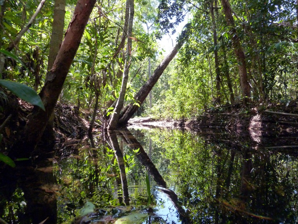
Upper Cascades Walk is a 3.3 km dry-season loop from The Cascades car park, climbing to lookouts on Tabletop Plateau before dropping to the cascades and pools in a gully. Allow about two hours. It is a good pick if you want both open views and a real uphill walk in one outing; the short distance makes it sound easier than it feels. It carries Grade 4, moderate to difficult, and the loose rock underfoot backs that up. The wet-season version is a 3.6 km return along the upper route, not the dry-season circuit. The separate lower track that closes the dry loop is subject to flooding and crocodile risk in the wet season.
The walk begins fairly gently, with level stretches and viewing platforms before it turns uphill. Then it turns uphill through a small patch of monsoon forest. The canopy gives you some shade during the climb, but the surface gets rough: loose stones and natural rock steps make the grade feel steeper than the mileage suggests. Take your time through this section and watch your footing. As you gain the escarpment, the forest thins and the track opens onto the Tabletop Plateau.
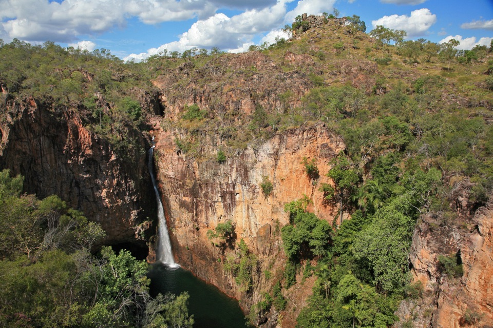
Several lookouts sit along the exposed plateau, each opening views over Litchfield's lowlands. The views are the main reason to take the upper route; they make the climb worth the extra effort over a shaded creek walk. There is little shelter once you are out on the plateau, and it can be hot. No refill point is identified along the route, so take water before you start. The walk then turns back toward the cascades, crossing a natural creek line before dropping briefly into a gully at the end.
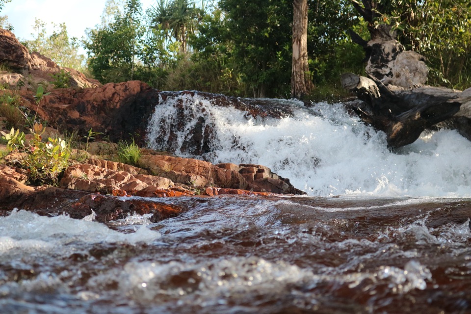
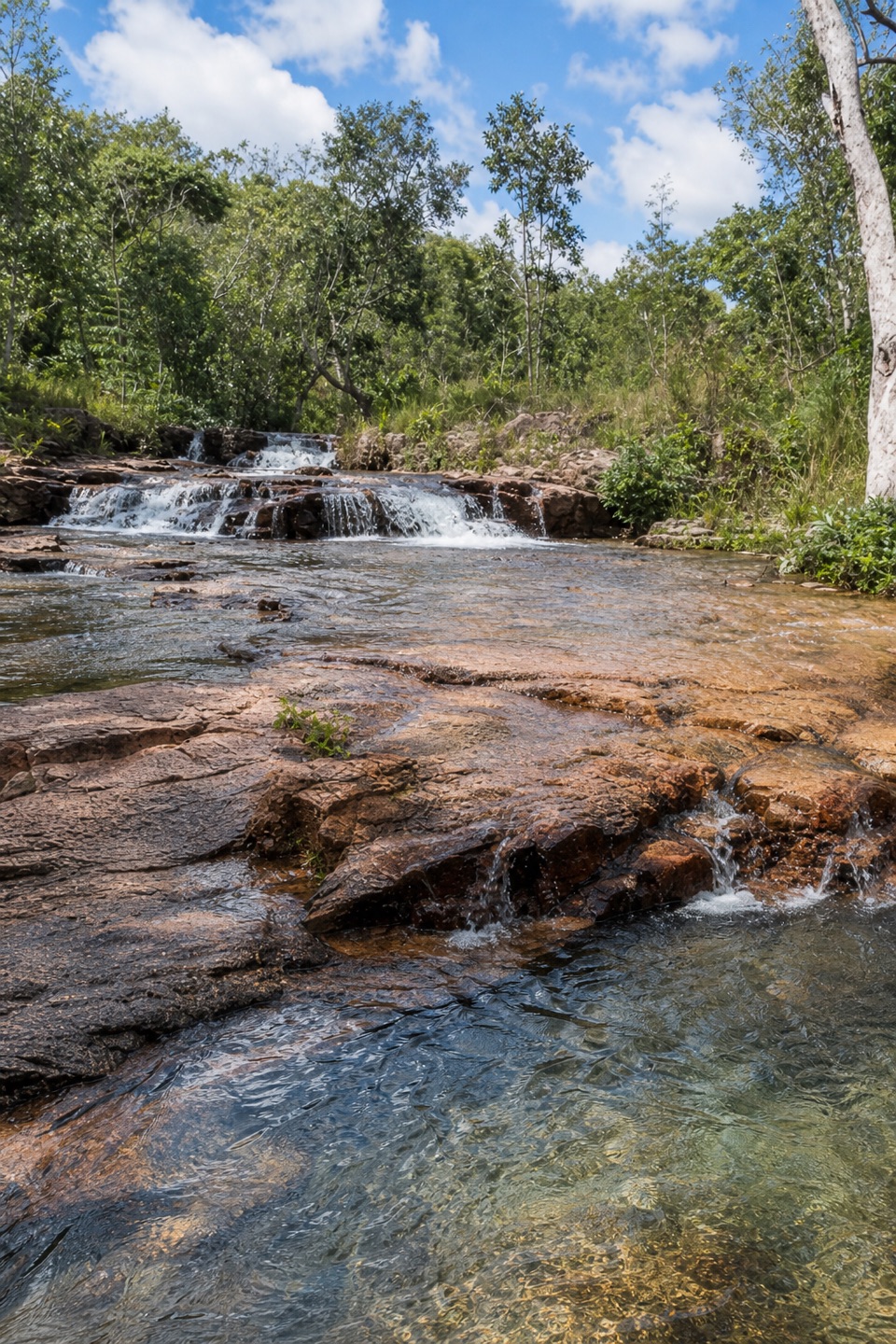
The destination is a low, stepped cascade rather than one tall drop: water spreads across flat rock shelves into small pools beneath the trees. For a photo, step back far enough to keep the layers of rock and the pool in one frame; the little drops disappear if you crop too tightly. Swimming conditions can change, so treat the pools as the payoff rather than a promise of a particular swim.
Start at The Cascades car park. Picnic tables and public toilets are close to the lot. A Parks Pass is required for entry for most visitors; Northern Territory residents are exempt. Dogs are not permitted in Litchfield National Park, except certified guide dogs.
In the dry season, follow the loop back along the lower track to the shared approach. When that route closes in the wet season, return the way you came on the upper track for the official 3.6 km out-and-back. The separate Lower Cascades Walk is a shorter, shadier 2.6 km return along the creek, but it also closes during the wet season. Check current park conditions before choosing a route configuration; the seasonal switch dates are not published.
Keep exploring
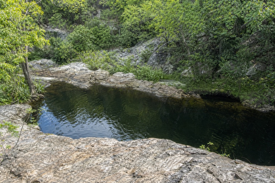 ModerateLower Cascades Walk2.6 km · 1.5 hr · At the trailheadQuickest, shadiest access to Curtain Falls and its rocky plunge pool.
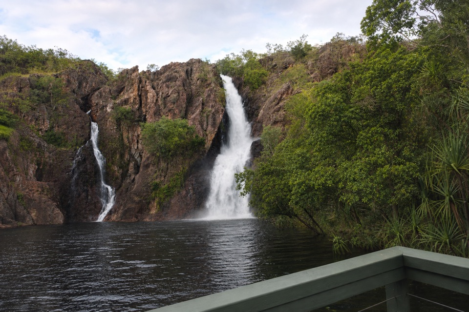 ChallengingTabletop Track: Wangi Falls to Walker Creek20.2 km · 12 hr · 4.5 km awayA rugged two-day Tabletop crossing with waterfalls and long dry stretches.
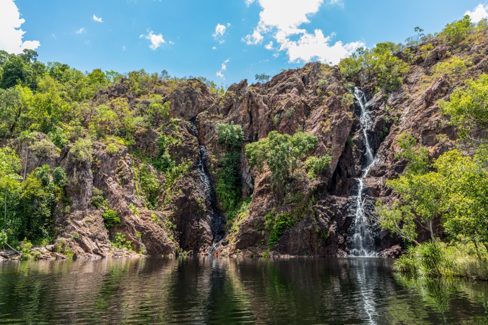 ModerateWangi Falls Walk1.6 km · 1 hr · 4.7 km awayA short loop pairs the plunge pool with an escarpment climb.
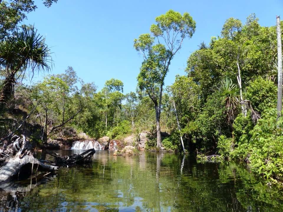 EasyWalker Creek Track3.5 km · 2 hr · 6.8 km awayCreek pools, a monsoon-forest boardwalk and a climb above the valley.
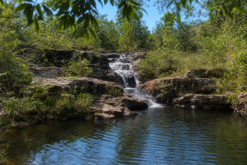 ModerateRocky Falls Day Use Area Walk1.2 km · 30 min · 6.8 km awayA quick creekside out-and-back to low rapids and a swimming spot.
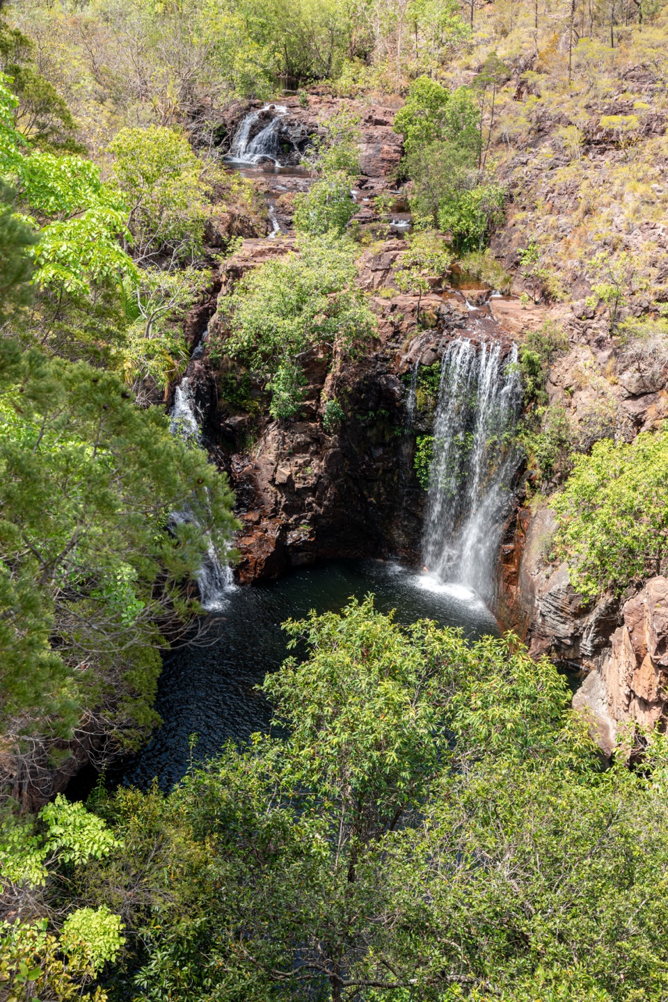 ChallengingTabletop Track: Walker Creek to Florence Falls13.3 km · 8 hr · 6.8 km awayCycads and a creek break up a long, exposed Tabletop crossing.
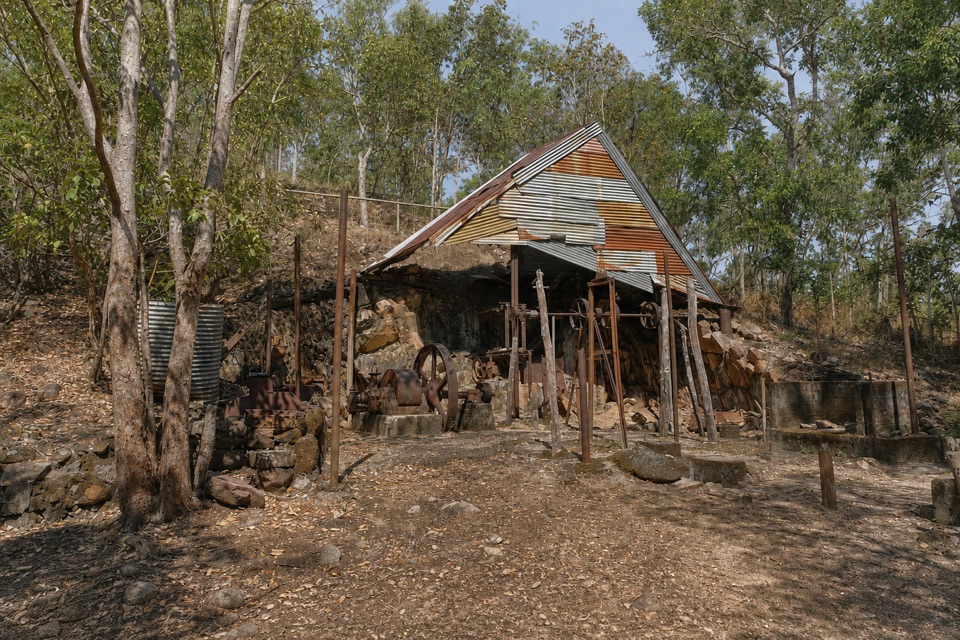 EasyBamboo Creek Tin Mine Walk0.6 km · 30 min · 8.6 km awayStone ruins, water tanks and an old engine on a short loop.
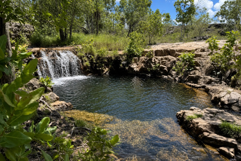 ModerateGreenant Creek Walk3.1 km · 1.5 hr · 9.2 km awayShade gives way to a steep climb and a falls lookout.
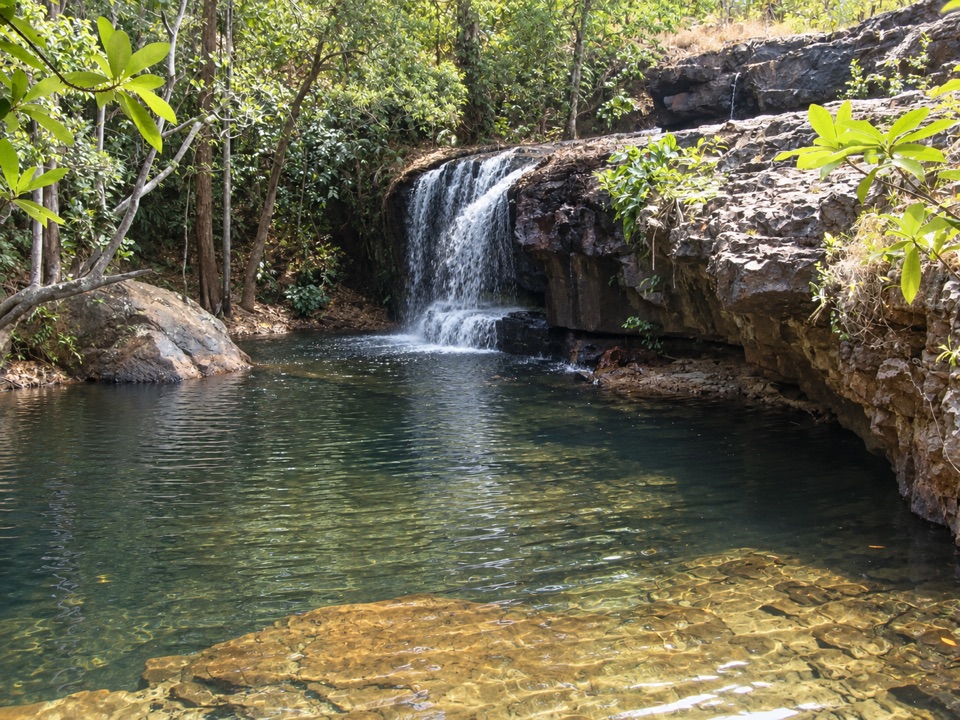 Sight · At the trailheadCascadesEarn your swim: rock pools and plateau lookouts on rugged tracks
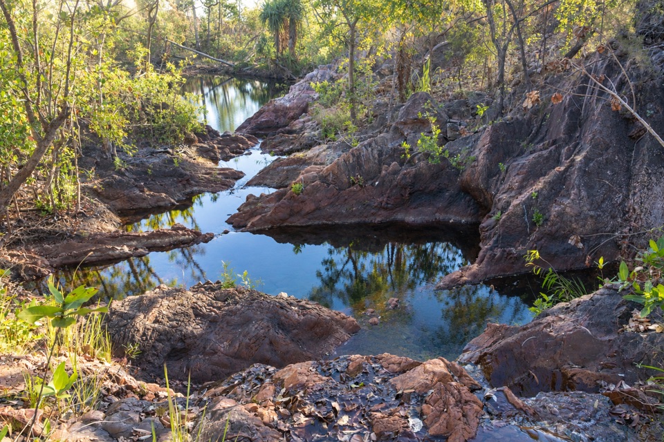 Campground · 1.2 km awayTjenya Falls CampgroundDry-plateau walk-in camp beside a small cascade and rock pools
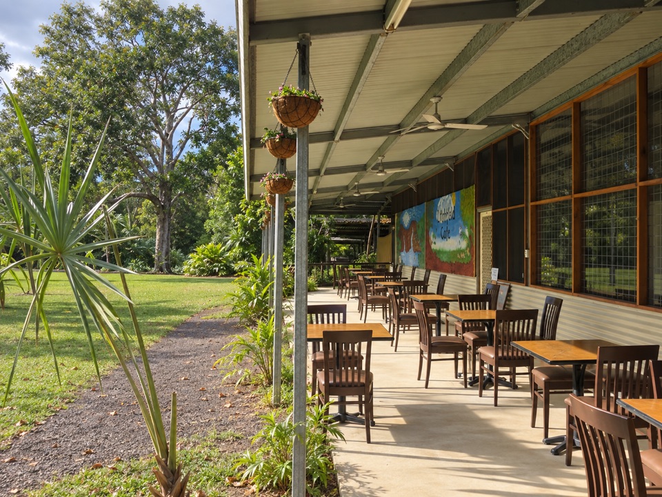 Food · 1.3 km awayLitchfield CafeShady off-grid veranda stop for coffee, beer or a seated meal
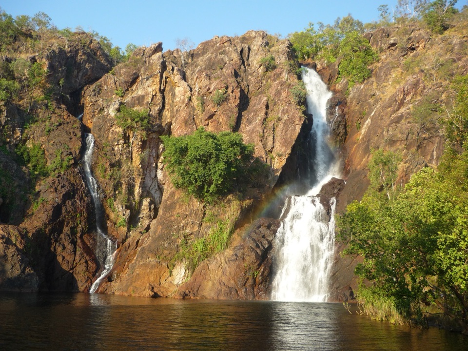 Campground · 4.5 km awayWangi Falls CampgroundCamp minutes from year-round falls and a deep monsoon-forest pool
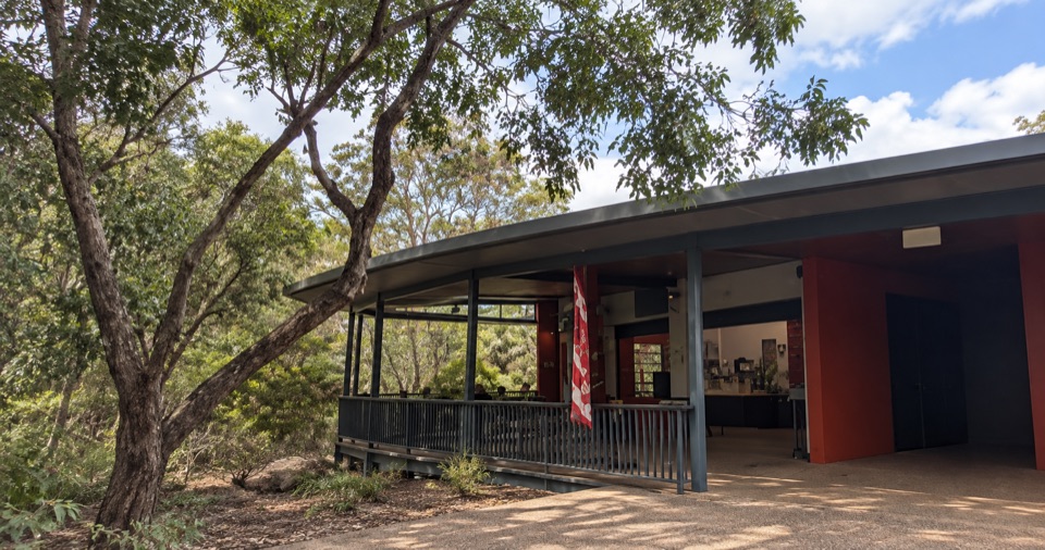 Food · 4.5 km awayWangi Falls CafeShaded open-air kiosk steps from the plunge pool, with cold drinksSight · 4.8 km awayWangi FallsTwin falls into a deep swimming pool, minutes from the carparkCampground · 6.9 km awayWalker CreekWalk-in creek camps, shallow cascades and clear pools to swim
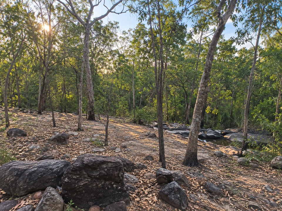 Campground · 7.1 km awaySouthern Campground (Tabletop Track)Rugged riverbed camp 15 km into the Tabletop Track loop
Parkwolf’s Litchfield ranking

The audio tour guide for the drive, plus offline maps, trails, and wildlife heatmaps for when the signal drops.