Parking
Luss Visitor Centre / main village car park; the mapped loop starts and ends here.
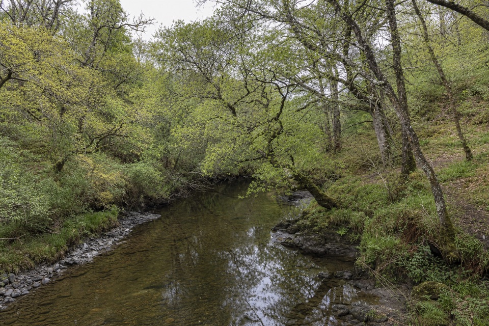
Loch Lomond & The Trossachs National Park, SC
A compact loop past Luss’s old slate quarry and mill
Overview
Map & elevation
Plan your hike

The highest, rockiest slopes around here are a summer buffet for grizzly bears.
Loch Lomond & The Trossachs Tour Guide
Parkwolf is a GPS audio tour guide for Loch Lomond & The Trossachs National Park. As you drive, it chimes in with what’s ahead: hidden gems, upcoming stops, history, geology, and wildlife, right through your car’s speakers.
Recorded for this trailhead
Luss Village and Pier“You're coming up on Luss, where cottage-lined lanes lead to a wooden pier on Loch Lomond.”
Plays as you drive up to this trailhead in the Parkwolf Loch Lomond & The Trossachs Tour Guide.
More stories near here in the app
“Fantastic app with many points of information… It’s great to just turn on while you’re driving and it gives you an audio tour of the national Park. We love it!!!!”


Trail guide
The Quarry Path is a roughly 1.1-mile loop from the Luss Visitor Centre car park, through woodland beside Luss Water and past the old mill and slate quarry. Allow about 30 minutes. It is a compact way to see Luss’s working landscape; the longer Heritage Walk adds the village riverbank and lochside.
From the car park, head toward the primary school, climb the steps to a footbridge over the A82, then pass through a gate onto the Quarry Walk. Follow the main woodland path where smaller tracks branch off. The ground climbs in steep patches before steps descend to a wooden bridge beside the old slate spoil heaps.
Cross the bridge and turn downstream. The water runs past an old mill and small weir, then the path passes under the A82 and alongside grazing fields. A second small wooden bridge leads back to the village road and car park. Quarrymen once cleaved local slate for Glasgow tenement roofs; around 1850, Luss’s laird replaced workers’ thatched cottages with the model village the route returns through.
The National Park grades the village paths easy but flags steep sections and steps, so this is not a level or all-abilities walk. The Visitor Centre and main village car park mark the start and finish; cafés and hotels are in the village for a stop afterwards. Dogs may accompany walkers under Scotland’s access code; keep them under proper control around grazing animals.
Wildlife
 14 sightingsGolden EagleMost seen around 6 PMSighting map
 37 sightingsRed DeerMost seen around 7 PMSighting map
 100 sightingsMute SwanMost seen around 11 AMSighting map
 48 sightingsOspreyMost seen around 6 PMSighting map
 24 sightingsEurasian BeaverMost seen around 8 PMSighting map
 37 sightingsEurasian Pine MartenMost seen around 7 PMSighting map
Sighting maps show where each species has been reported across Loch Lomond & The Trossachs. Wildlife moves, so no sighting is guaranteed.
Keep exploring
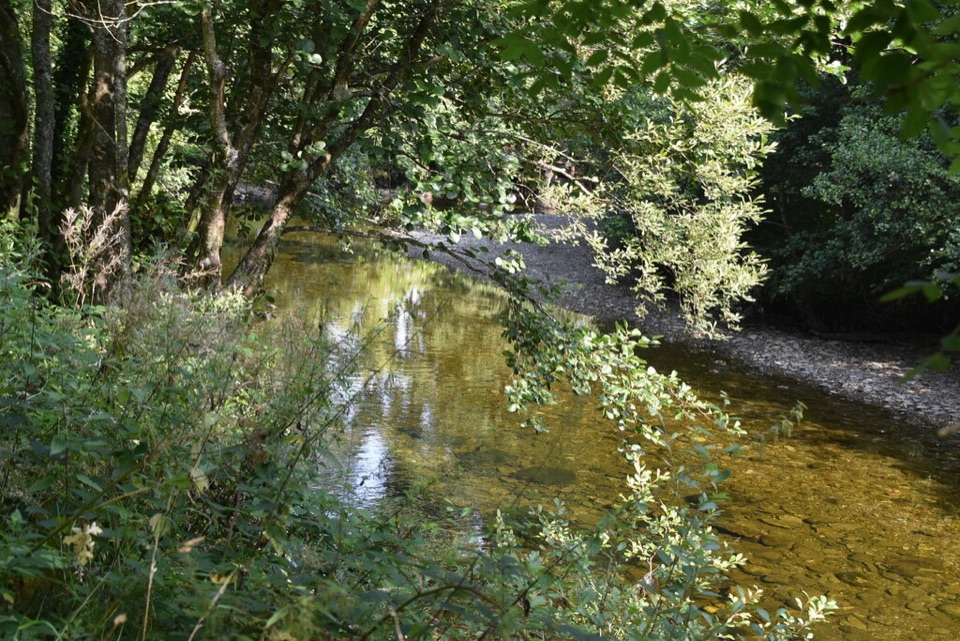 EasyRiver Path, Luss1.3 km · 30 min · At the trailheadA level riverside stroll to a footbridge over Luss Water.
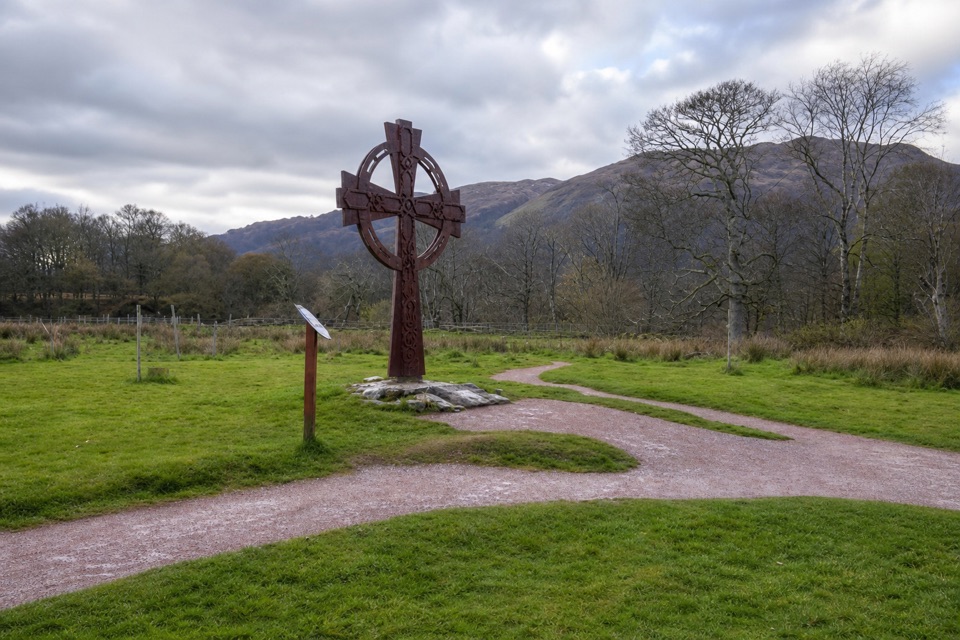 EasyLuss Glebe Loop1.2 km · 24 min · 0.3 km awayAn easy loop among meadow, oakwood and Loch Lomond shore.
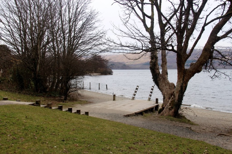 EasyLuss Heritage Path2.8 km · 1 hr · 0.4 km awayQuarry woodland, riverside paths and Luss’s lochside pier
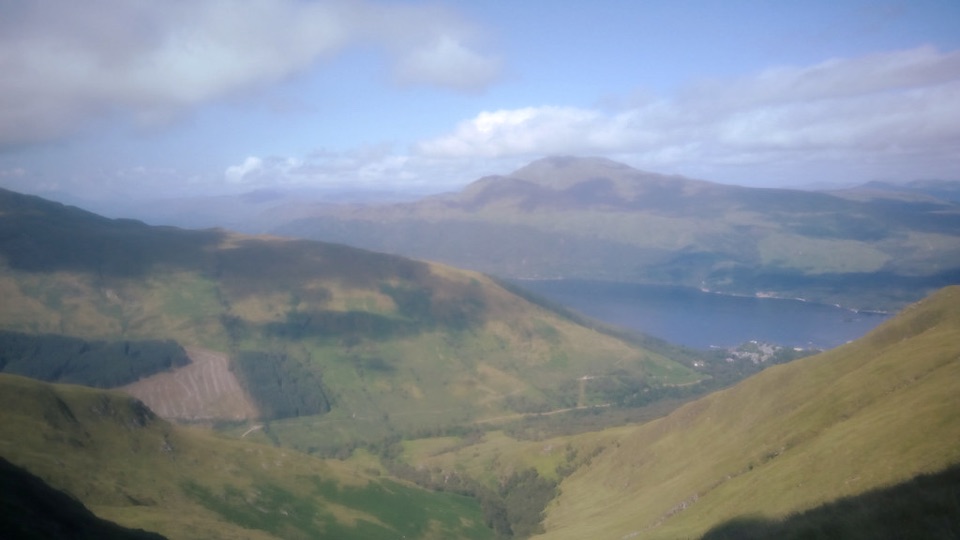 ChallengingBeinn Dubh–Glen Striddle Horseshoe11.6 km · 4.5 hr · 0.4 km awayLoch Lomond views reward a long, boggy horseshoe above the village.
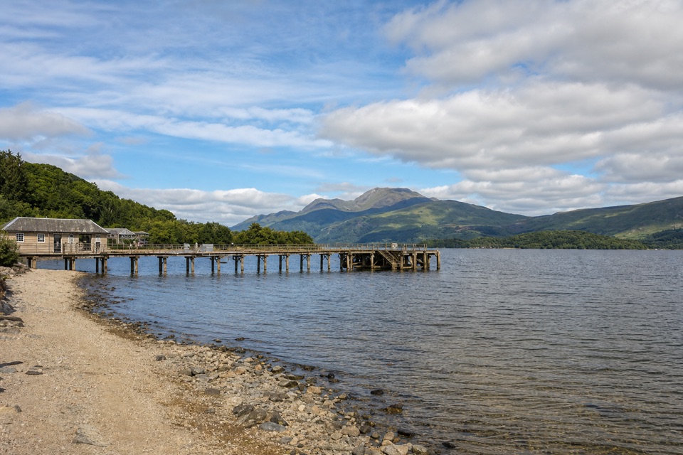 EasyLochside Path, Luss1.1 km · 15 min · 0.4 km awayA flat village loop that reaches the shore and Luss Pier.
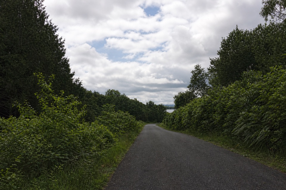 EasyBirch Path: Memorial and Pond1 km · 30 min · 3.9 km awayA pond, old birches and a memorial in one easy kilometre.
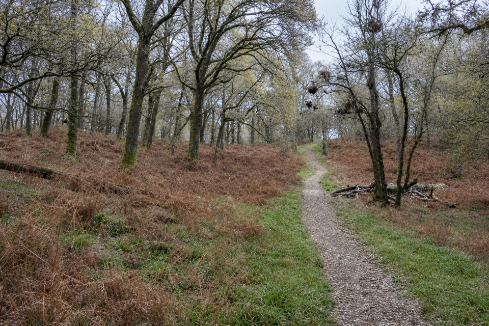 EasyLow Path, Inchcailloch1.5 km · 38 min · 5.6 km awayFollow the gentler oakwood route between Inchcailloch’s two ferry piers.
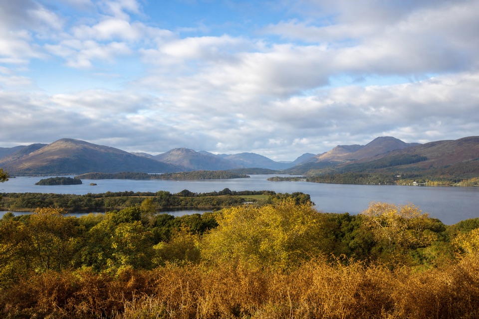 ModerateSummit Path, Inchcailloch1.8 km · 1 hr · 5.8 km awayA short, steep loop to a bench above the loch.
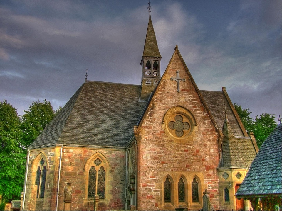 Sight · 0.4 km awayLuss Parish ChurchAn unusual hogback stone sits in a historic churchyard by the loch.
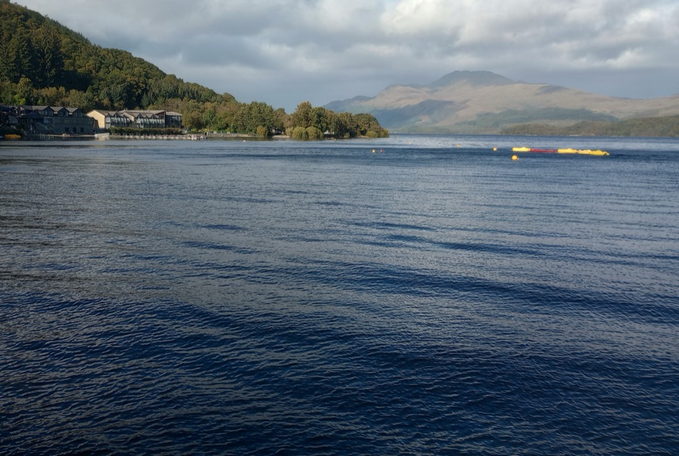 Sight · 0.5 km awayLuss Pier and LochshoreA pier, beach and village view that makes Loch Lomond feel close.
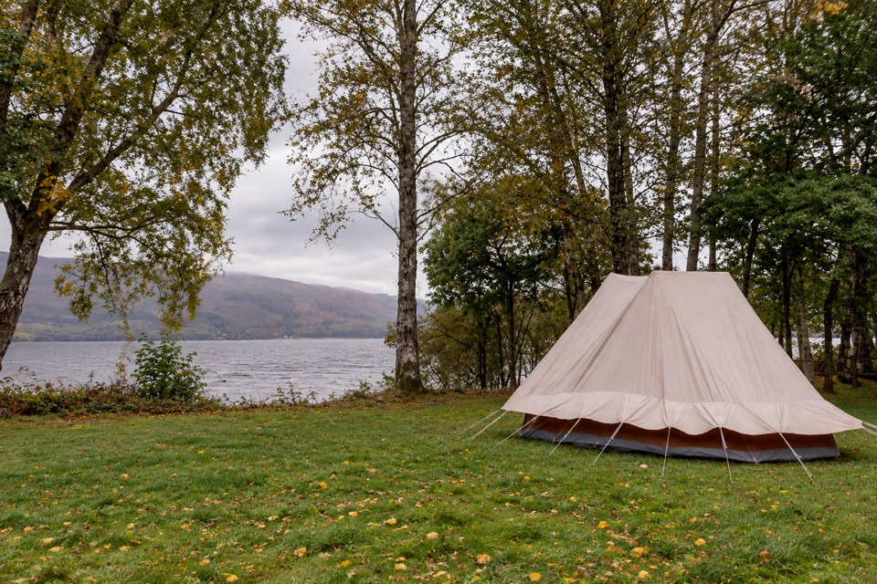 Campground · 0.9 km awayLuss Caravan & CampsiteGrassy pitches on the loch shore, short walk into Luss village
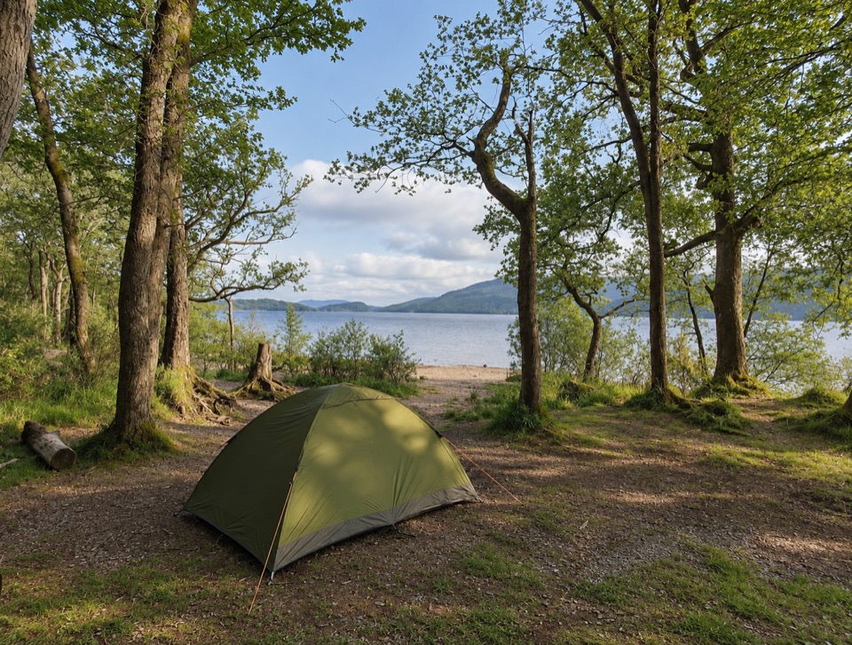 Campground · 3.8 km awaySallochy CampsiteTent-only pitches by old oak woodland on the loch shore
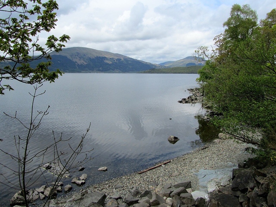 Campground · 4 km awayCashel CampsiteA lochside base with water access and the West Highland Way.
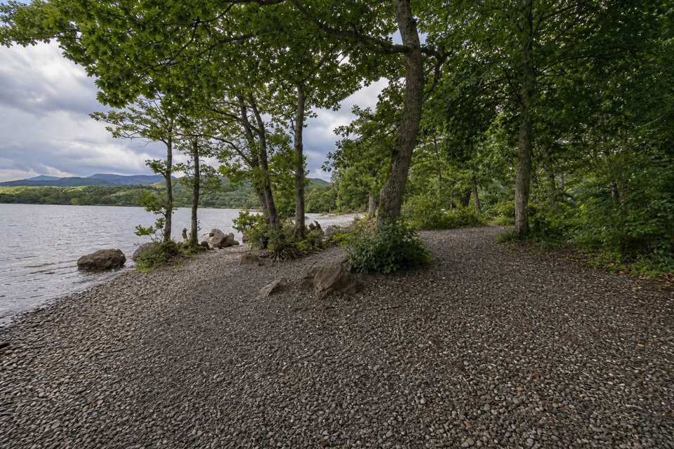 Campground · 4.9 km awayMilarrochy Bay Camping and Caravanning Club SiteA lochside base for paddling, camping, and the West Highland Way.
 Beach · 5.3 km awayMilarrochy BayA lone oak, open water and a classic Loch Lomond shoreline.
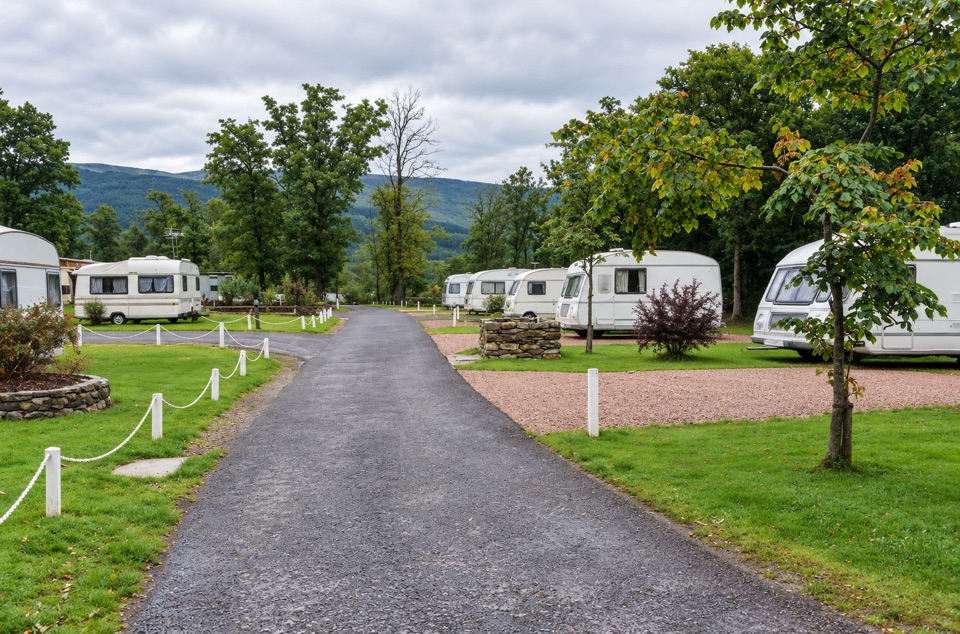 Lodging · 5.5 km awayInverbeg Holiday ParkA lochside base with lodges, a play area and an on-site shop.
Parkwolf’s Loch Lomond & The Trossachs ranking

The audio tour guide for the drive, plus offline maps, trails, and wildlife heatmaps for when the signal drops.





