Parking
The small parking area is at Graham’s Point in Kilmun, beside the Monk’s Hut. Cross the main road to start.
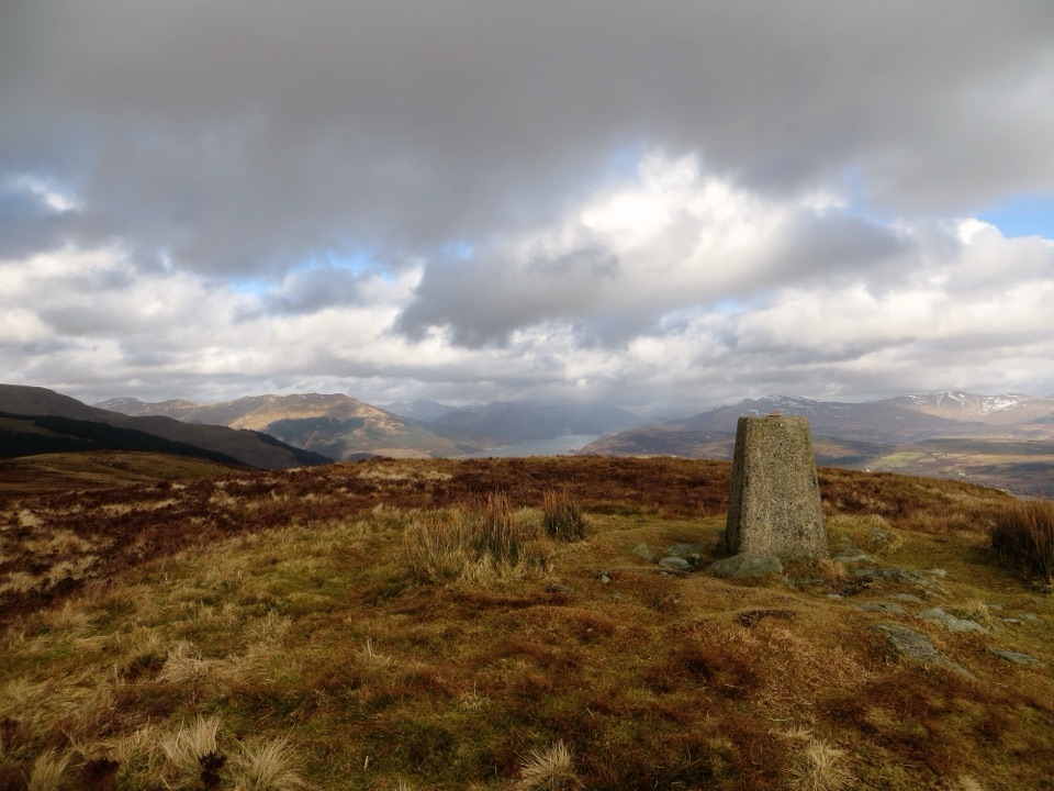
Loch Lomond & The Trossachs National Park, SC
A steep climb to the trig point and wide Clyde views.
Overview
Map & elevation
Plan your hike

The highest, rockiest slopes around here are a summer buffet for grizzly bears.
Loch Lomond & The Trossachs Tour Guide
Parkwolf is a GPS audio tour guide for Loch Lomond & The Trossachs National Park. As you drive, it chimes in with what’s ahead: hidden gems, upcoming stops, history, geology, and wildlife, right through your car’s speakers.
Recorded for this trailhead
Historic Kilmun and the Holy Loch“You're approaching Historic Kilmun on the Holy Loch, where a small churchyard holds the Argyll Mausoleum and a medieval tower. I'd stop if you like old buildings with a story.”
Plays as you drive up to this trailhead in the Parkwolf Loch Lomond & The Trossachs Tour Guide.
More stories near here in the app
“Fantastic app with many points of information… It’s great to just turn on while you’re driving and it gives you an audio tour of the national Park. We love it!!!!”


Trail guide
Strone Hill is a strenuous out-and-back from Graham’s Point to the 385 m summit. The mapped climb is about 1¾ miles each way, making the full walk roughly 3½ miles (5.6 km) round trip. Allow about three hours. It’s a short route on the map but a proper hill walk: the ascent is steady and the upper path gets rough and faint. The reward is an open summit above the Holy Loch, with views across the Firth of Clyde and Loch Long.
Start by the Monk’s Hut at Graham’s Point. Cross the main road, turn left on Johnstone Avenue, then take the path behind the houses. Climb to the forest road, turn left, and take the right fork after a few yards. The route winds through trees and along forest roads before opening to views over the Clyde estuary and Loch Long. Where the road forks again, take the small path on the left toward the hill. It follows a dry-stone dyke; the ground is uneven, and the faint upper section can be boggy. A trig pillar marks the top.
Keep the wall in sight as you descend and retrace the mapped route. At the forest road, take the Kilmun direction rather than the lower-left fork toward Blairmore. From the summit, look north along Loch Long toward the Arrochar Alps and across the Clyde toward Arran, Bute and the Cumbraes; on a clear day, the view reaches down the Clyde toward Glasgow. You can also pick out Dunselma Castle on its promontory below the golf course and Blairmore Pier across the water. The pillar makes a good foreground for a summit photo. Graham’s Point has a small parking area, play space and picnic tables, all at the trailhead. Dogs may accompany you under Scotland’s access rules; keep them in sight and under control around livestock and wildlife.
Wildlife
 14 sightingsGolden EagleMost seen around 6 PMSighting map
 37 sightingsRed DeerMost seen around 7 PMSighting map
 100 sightingsMute SwanMost seen around 11 AMSighting map
 48 sightingsOspreyMost seen around 6 PMSighting map
 24 sightingsEurasian BeaverMost seen around 8 PMSighting map
 37 sightingsEurasian Pine MartenMost seen around 7 PMSighting map
Sighting maps show where each species has been reported across Loch Lomond & The Trossachs. Wildlife moves, so no sighting is guaranteed.
Keep exploring
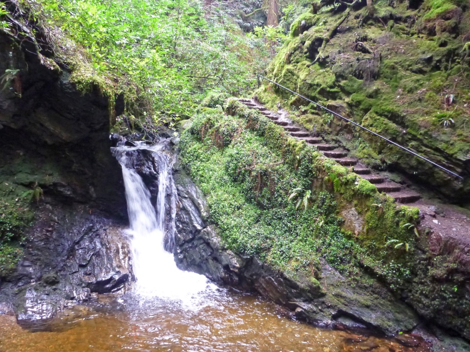 ChallengingPuck's Glen Gorge Trail2.8 km · 1.3 hr · 3.8 km awayWaterfalls and a Victorian path packed into a short, steep gorge walk.
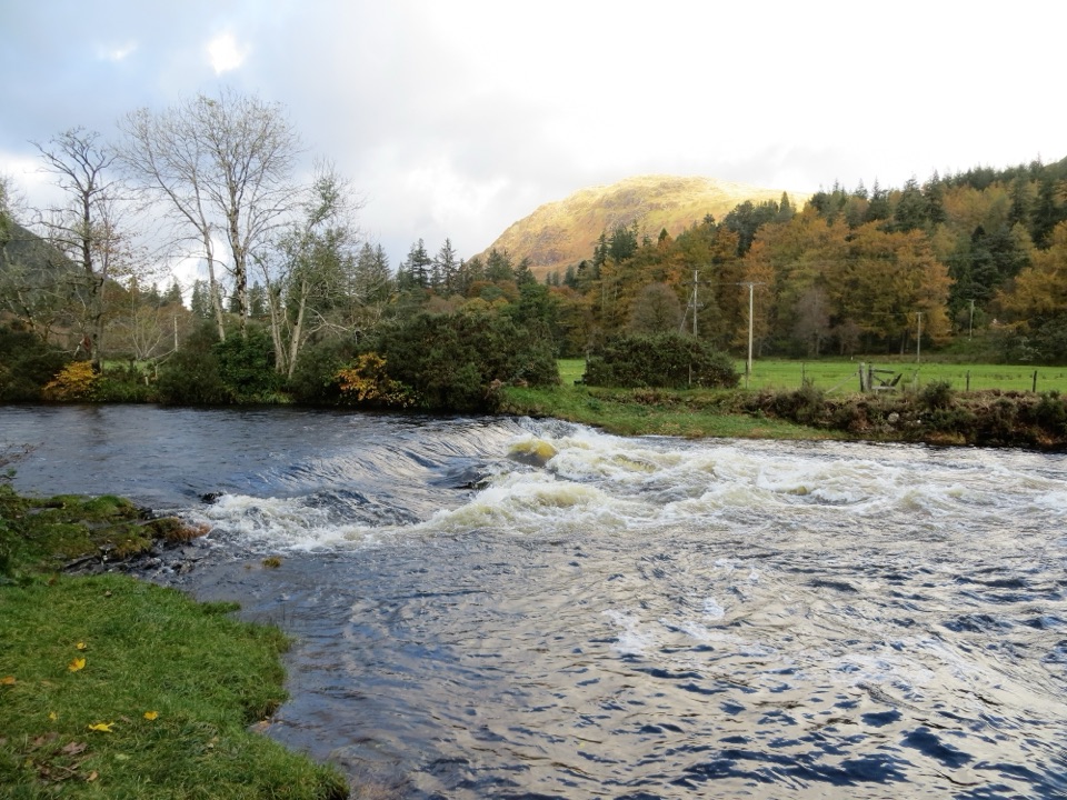 ModerateRiver Eachaig & Massan Circuit5 km · 1.8 hr · 5.2 km awayA mostly level loop beside the Eachaig and Massan, with several bridges.
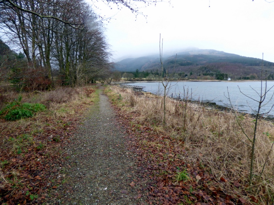 ModerateLaird’s Trail3.2 km · 1 hr · 7.3 km awayA forest loop to an 1860 grave with Loch Long views.
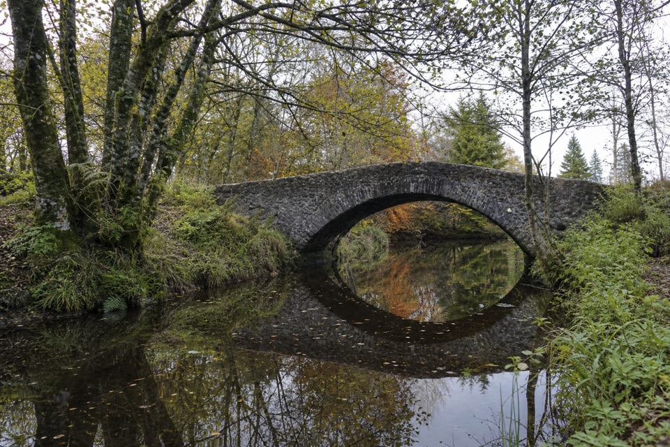 EasyRiverside Trail, Ardentinny1.3 km · 30 min · 7.3 km awayA short burnside loop to a stone arch and spring flowers.
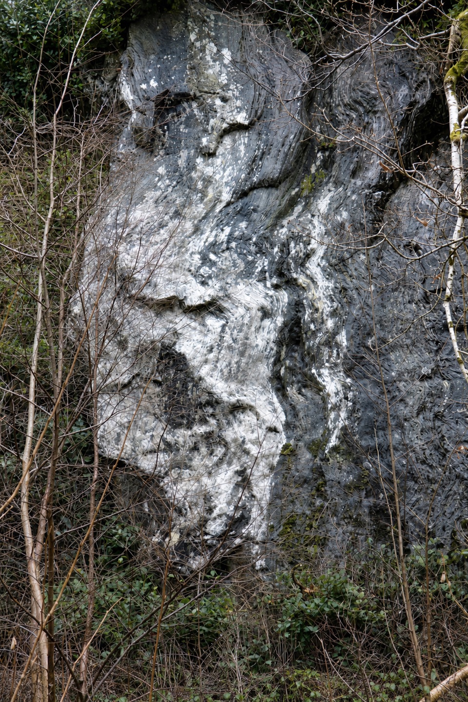 ModerateBirchwood Trail, Ardentinny1.6 km · 45 min · 7.3 km awayA steep woodland loop above Lover’s Leap, back by Grotto Burn.
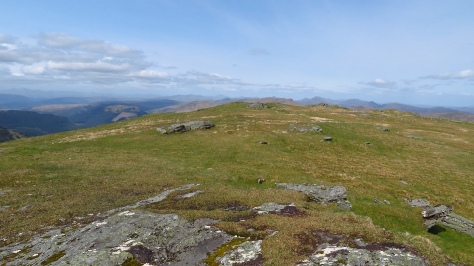 ChallengingBeinn Mhòr from Glen Massan12.9 km · 5 hr · 8 km awayA long Glen Massan approach leads to Cowal’s highest summit.
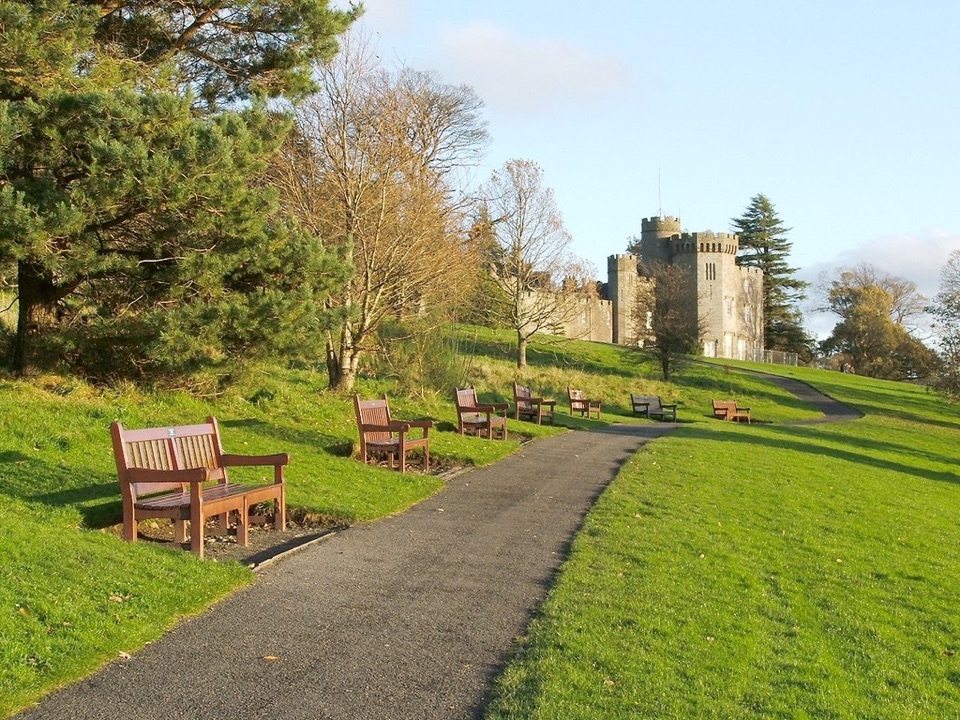 ChallengingJohn Muir Way215.7 km · 2.5 days · 12 km awayA 134-mile crossing from Helensburgh to Muir’s birthplace in Dunbar.
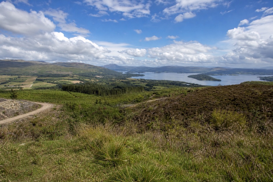 ModerateGouk Hill from Helensburgh16.6 km · 5 hr · 12 km awayA long climb to rocky views over Loch Lomond.
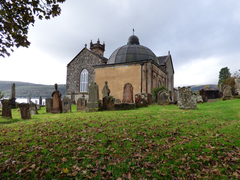 Sight · 1.2 km awayHistoric Kilmun and Argyll MausoleumA lochside church with a mausoleum, stained glass, and a rare organ.
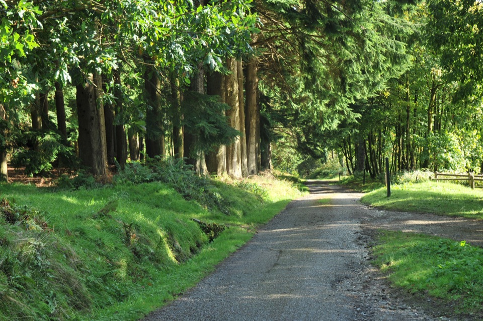 Sight · 1.5 km awayKilmun ArboretumA 1930s tree collection with Holy Loch views and steep trails.
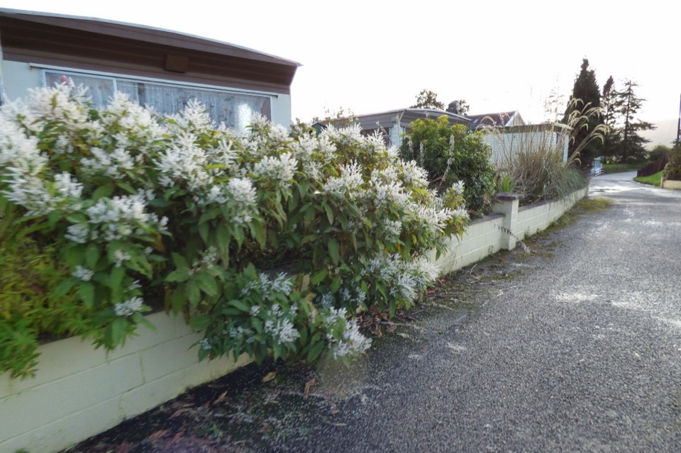 Campground · 2.7 km awayCot House Caravan ParkA practical Cowal base with touring pitches and a handy shop.
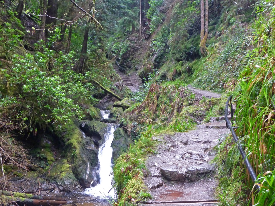 Sight · 3.8 km awayPuck’s GlenA mossy gorge walk threaded with waterfalls, bridges and ferns.
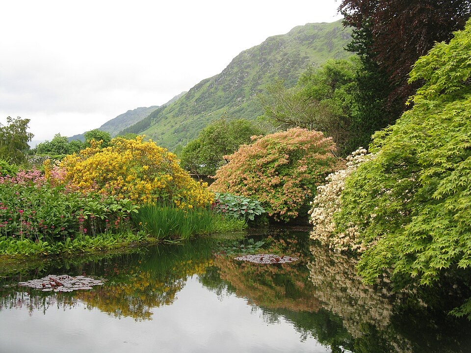 Sight · 5.3 km awayBenmore Botanic GardenGiant redwoods below a hillside of plants from around the world.
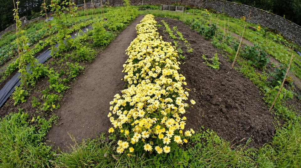 Sight · 7.3 km awayGlenfinart Walled GardenA volunteer-run garden with Victorian walls and room for a picnic.
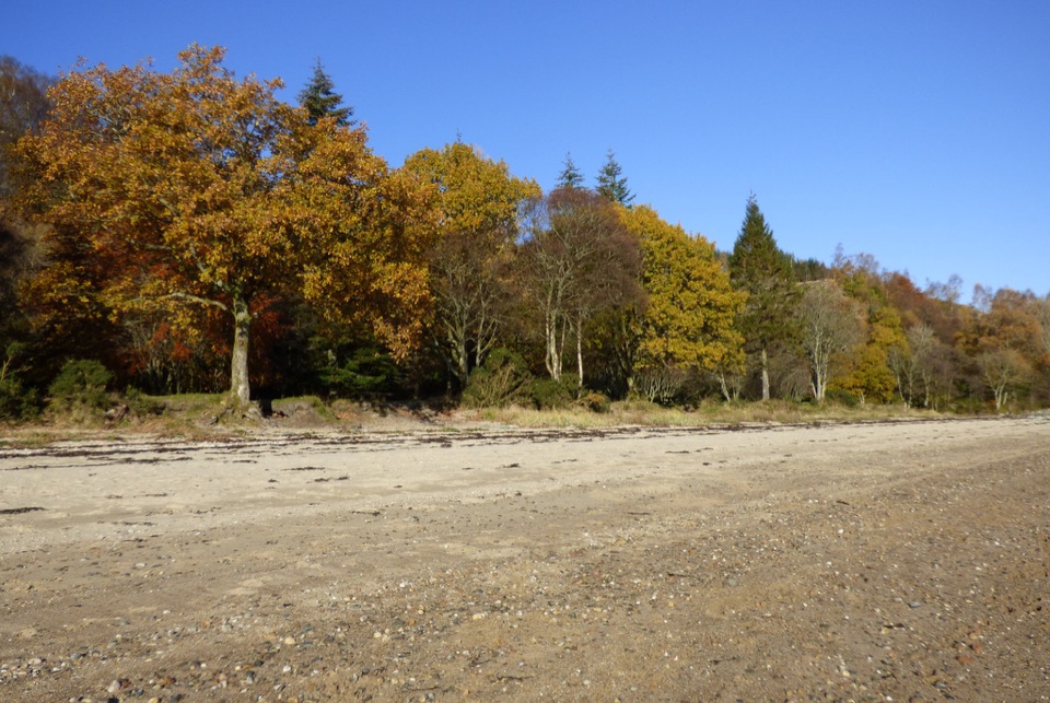 Beach · 7.4 km awayArdentinny BeachA long lochside beach with rock pools and woodland walks.
 Picnic area · 12.2 km awayJubilee PointA quiet lochside picnic with room to launch a kayak.
Parkwolf’s Loch Lomond & The Trossachs ranking

The audio tour guide for the drive, plus offline maps, trails, and wildlife heatmaps for when the signal drops.





