Parking
Start from North Pier on Inchcailloch. Reach the island by boat from MacFarlane’s Boatyard in Balmaha; waterbus service also runs from Luss. There is no car access on the island, so leave the vehicle on the mainland before crossing.
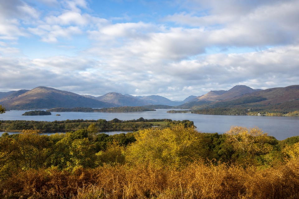
Loch Lomond & The Trossachs National Park, SC
A short, steep loop to a bench above the loch.
Overview
Map & elevation
Plan your hike

The highest, rockiest slopes around here are a summer buffet for grizzly bears.
Loch Lomond & The Trossachs Tour Guide
Parkwolf is a GPS audio tour guide for Loch Lomond & The Trossachs National Park. As you drive, it chimes in with what’s ahead: hidden gems, upcoming stops, history, geology, and wildlife, right through your car’s speakers.
Recorded for this trailhead
Balmaha and Inchcailloch“You're approaching Balmaha, the village departure point for boats to Inchcailloch across Loch Lomond. I'd choose the island if you want a boat ride, quiet woodland and a hilltop view in one half-day.”
Plays as you drive up to this trailhead in the Parkwolf Loch Lomond & The Trossachs Tour Guide.
More stories near here in the app
“Fantastic app with many points of information… It’s great to just turn on while you’re driving and it gives you an audio tour of the national Park. We love it!!!!”


Trail guide
The Summit Path is a short, steep 1.1-mile loop from Inchcailloch’s North Pier. It climbs to the island’s 85 m high point, then returns by the more direct Central Path, so you get the wooded ridge and a different descent without taking the Low Path or the longer island circuit. Allow about an hour on the island for the walk and the viewpoint. The climb itself is compact, but getting to Inchcailloch by boat is part of the outing, so plan your crossing separately.
From North Pier, steps leave the shore and bring you to an information board. Take the rougher branch uphill. The path crosses a damp hollow on boardwalk, then climbs through alder in a broad, stepped zigzag. The grade is short but steady, and exposed roots make the tread uneven. Rounded pebbles set into the rock above the path are puddingstone, a conglomerate left by ancient rivers more than 400 million years ago.
A bench partway up opens a view over the southern stretches of the loch. Keep climbing and the trees thin on the drier ridge, where shallow soils support Scots pine and blaeberry. The summit bench looks north across the wooded islands toward Ben Lomond. From the ridge junction, follow Central Path back to North Pier; this mapped return keeps the outing a loop without adding the Low Path or a walk to Port Bawn.
The Highland Boundary Fault runs across Inchcailloch, the meeting zone between the Highlands and Lowlands. The island’s summit makes that line in the landscape easier to picture: hills and ridges fill the northern view, while the loch spreads out around the lower islands. Oak woodland covers much of the climb, and in spring bluebells can carpet the ground beneath it. The route is also a quick way to see how a low, wooded island can feel remote even though Balmaha is close across the water.
At the summit, leave some of the island canopy along the bottom of a phone photo and keep the loch and Ben Lomond beyond it; that foreground shows where the view is coming from. If you have more time, the Low Path and the church and burial ground make a separate, longer island wander rather than an extension of this loop.
Reach North Pier by boat from MacFarlane’s Boatyard in Balmaha; a waterbus also serves Inchcailloch from Luss. The island is not reachable by car, and boat schedules can depend on conditions, so check the operator before setting out. There is no running water on the island. Compost toilets and picnic tables are at Port Bawn, off this short summit loop.
Expect steps, a steep climb, wet boardwalk and rough roots. Ticks are present in the island woods, so check yourself after the walk. Dogs may come under Scotland’s outdoor access rules, but keep them in sight and under proper control around wildlife. The island can be visited year-round when weather allows; spring is the time for bluebells.
Wildlife
 14 sightingsGolden EagleMost seen around 6 PMSighting map
 37 sightingsRed DeerMost seen around 7 PMSighting map
 100 sightingsMute SwanMost seen around 11 AMSighting map
 48 sightingsOspreyMost seen around 6 PMSighting map
 24 sightingsEurasian BeaverMost seen around 8 PMSighting map
 37 sightingsEurasian Pine MartenMost seen around 7 PMSighting map
Sighting maps show where each species has been reported across Loch Lomond & The Trossachs. Wildlife moves, so no sighting is guaranteed.
Keep exploring
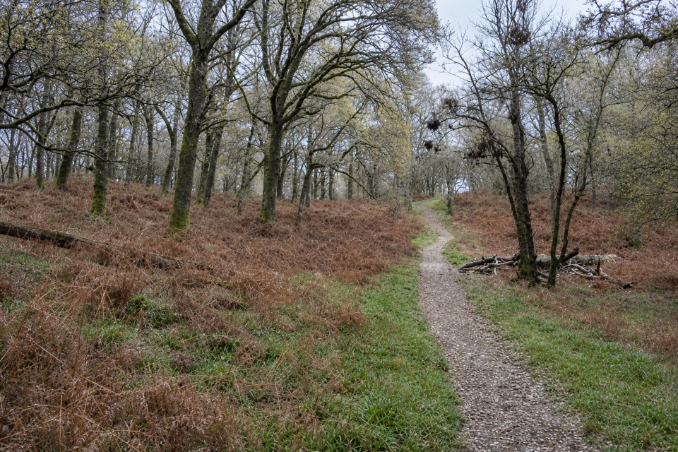 EasyLow Path, Inchcailloch1.5 km · 38 min · 0.9 km awayFollow the gentler oakwood route between Inchcailloch’s two ferry piers.
 ModerateConic Hill4 km · 2.5 hr · 1 km awayA steep climb opens onto Loch Lomond’s long chain of islands.
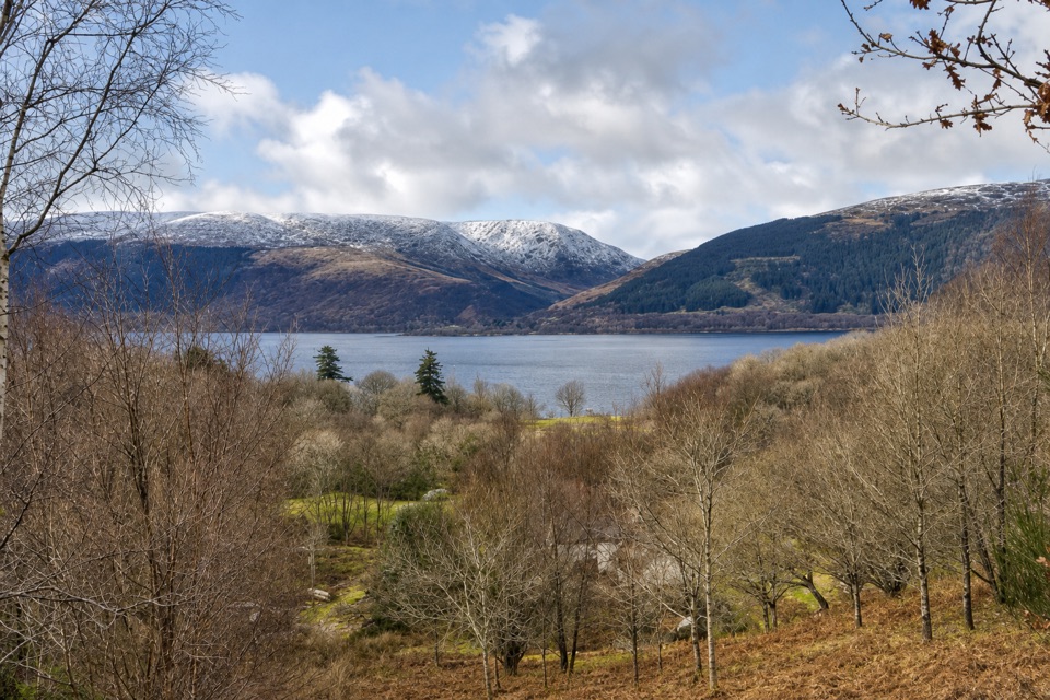 EasyLomond Trail2.6 km · 1.3 hr · 4.2 km awayFollow a long boardwalk across fen to Loch Lomond shore.
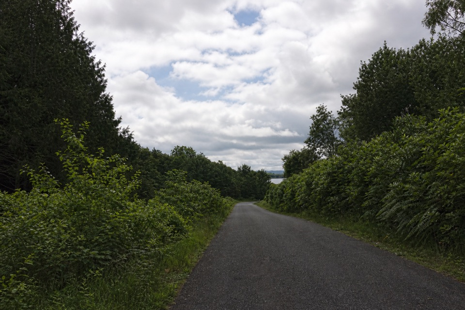 EasyBirch Path: Memorial and Pond1 km · 30 min · 4.9 km awayA pond, old birches and a memorial in one easy kilometre.
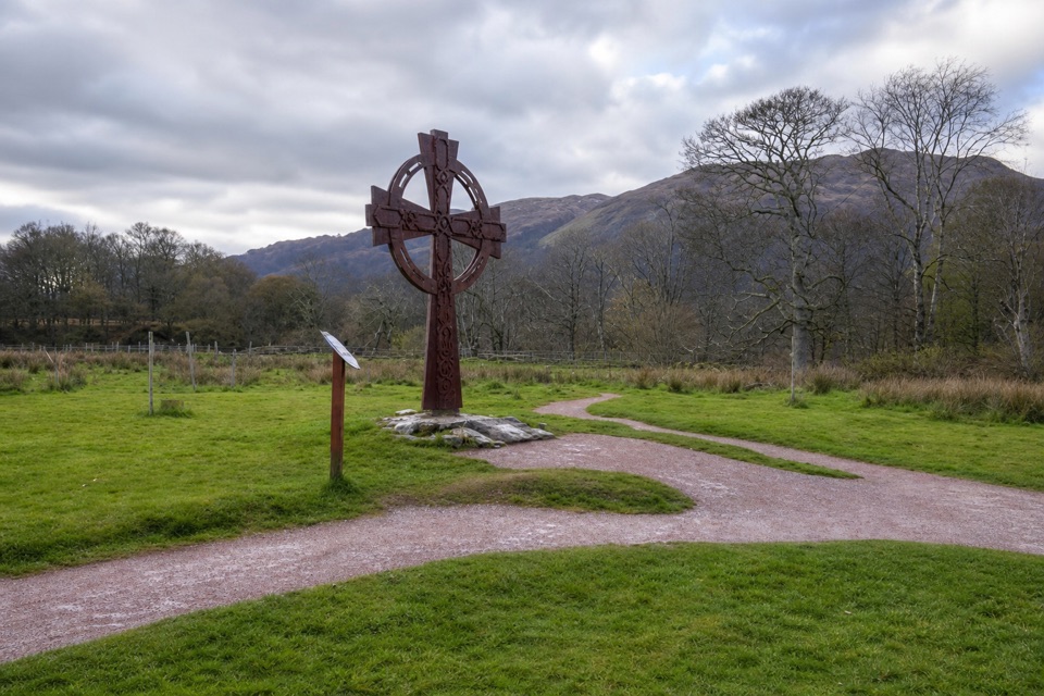 EasyLuss Glebe Loop1.2 km · 24 min · 5.6 km awayAn easy loop among meadow, oakwood and Loch Lomond shore.
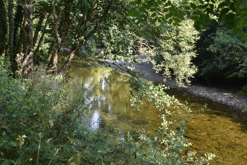 EasyRiver Path, Luss1.3 km · 30 min · 5.8 km awayA level riverside stroll to a footbridge over Luss Water.
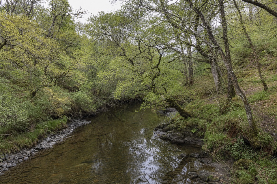 EasySlate Quarry Path, Luss1.8 km · 30 min · 5.8 km awayA compact loop past Luss’s old slate quarry and mill
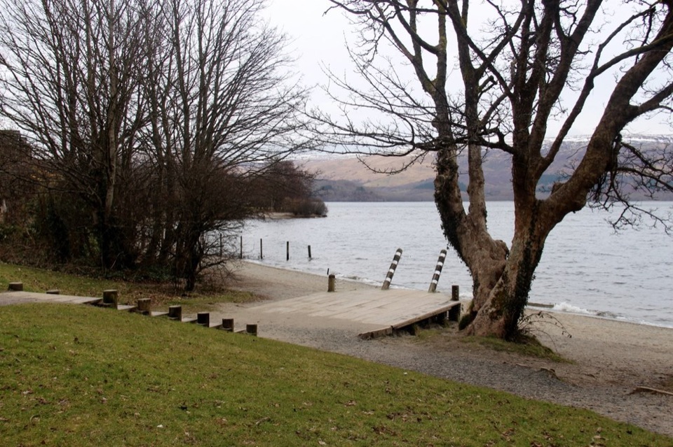 EasyLuss Heritage Path2.8 km · 1 hr · 5.8 km awayQuarry woodland, riverside paths and Luss’s lochside pier
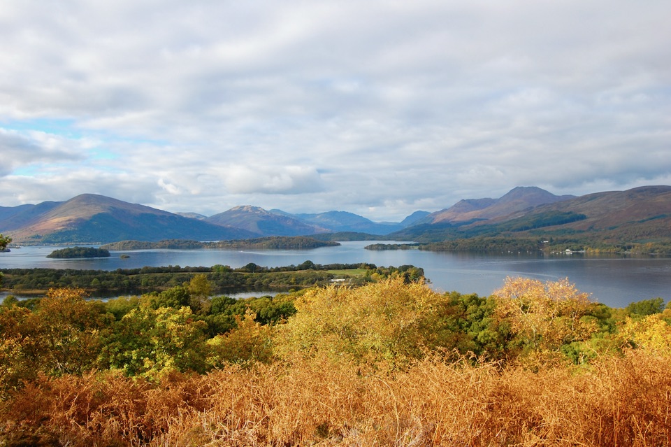 Sight · 0.5 km awayInchcaillochA boat-access island of bluebells, woodland paths, and big loch views.
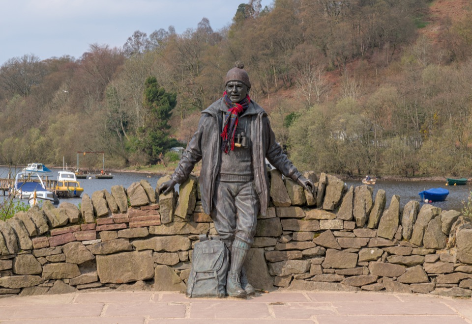 Sight · 0.8 km awayTom Weir StatueA lochside memorial with a real Scottish outdoors story.
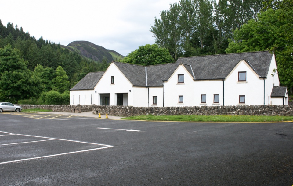 Visitor center · 0.9 km awayBalmaha Visitor CentreA useful base for Conic Hill, lochside walks and local stories.
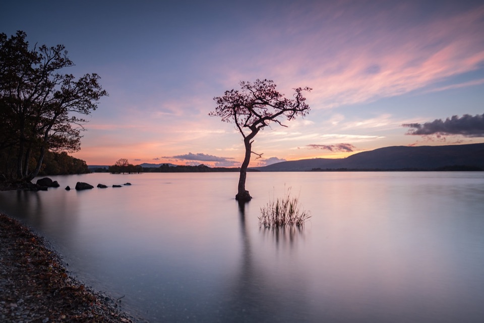 Beach · 1.5 km awayMilarrochy BayA lone oak, open water and a classic Loch Lomond shoreline.
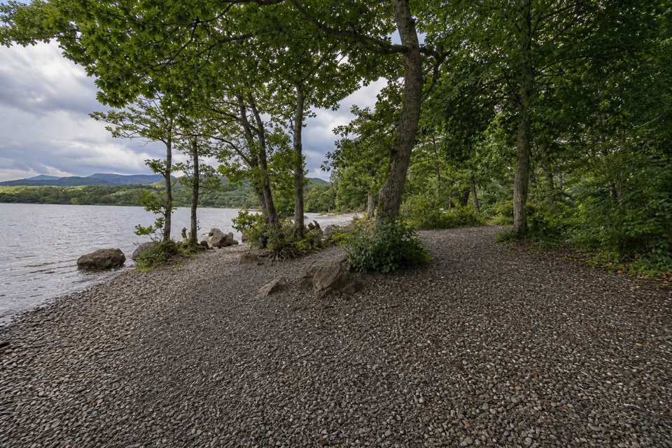 Campground · 2.1 km awayMilarrochy Bay Camping and Caravanning Club SiteA lochside base for paddling, camping, and the West Highland Way.
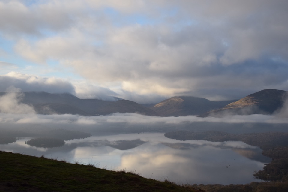 Sight · 2.7 km awayConic HillA short, steep hill with a huge view over Loch Lomond's islands.
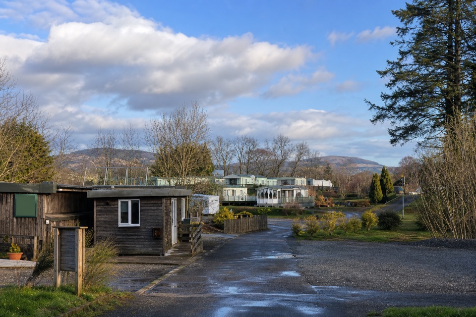 Campground · 3.7 km awayLagganbeg Caravan and Camping ParkA quiet campsite with a loch shore walk and hill views.
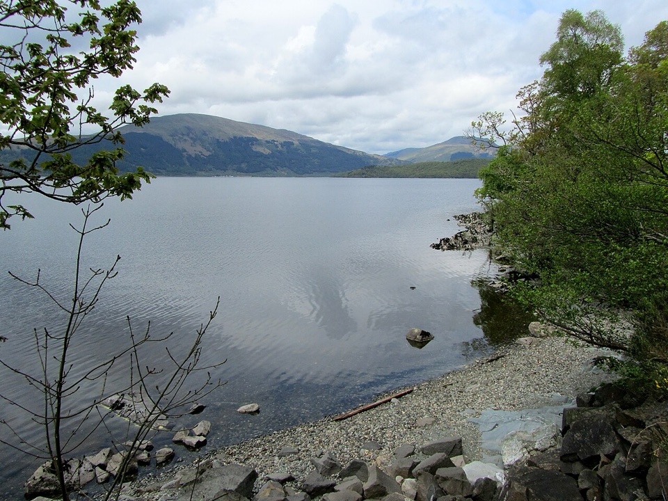 Campground · 3.8 km awayCashel CampsiteA lochside base with water access and the West Highland Way.
Parkwolf’s Loch Lomond & The Trossachs ranking

The audio tour guide for the drive, plus offline maps, trails, and wildlife heatmaps for when the signal drops.




