Parking
Park by Otago Boys’ High Bridge at MacPherson Creek, 2.5 km beyond the Camerons Flat car-park turn-off. The final 25 km of the drive from Wānaka is gravel. Camerons Flat is a shorter starting option but requires a river ford.
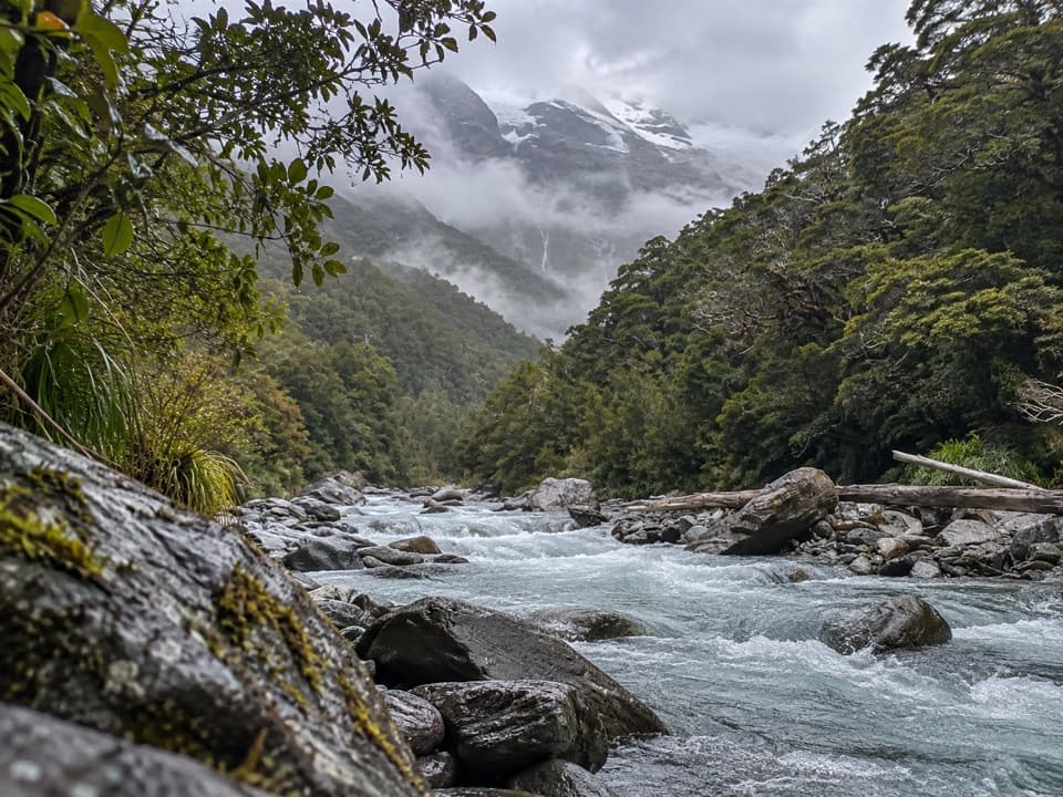
Mount Aspiring National Park, OT · WC
A long valley tramp to Glacier Burn and an Avalanche Glacier view.
Overview
Map & elevation
Plan your hike

The highest, rockiest slopes around here are a summer buffet for grizzly bears.
Mount Aspiring Tour Guide
Parkwolf is a GPS audio tour guide for Mount Aspiring National Park. As you drive, it chimes in with what’s ahead: hidden gems, upcoming stops, history, geology, and wildlife, right through your car’s speakers.
See the Mount Aspiring audio tourRecorded for this trailhead
Otago Boys’ High Bridge and Kitchener Track“You're nearing Otago Boys' High Bridge, a starting point for the East Matukituki valley.”
Plays as you drive up to this trailhead in the Parkwolf Mount Aspiring Tour Guide.
More stories near here in the app
“Fantastic app with many points of information… It’s great to just turn on while you’re driving and it gives you an audio tour of the national Park. We love it!!!!”


Trail guide
Glacier Burn Track (East Matukituki) is a remote out-and-back from Otago Boys’ High Bridge, following the East Matukituki valley to the river at Glacier Burn, with a view toward Avalanche Glacier. The DOC valley brochure gives 7 km each way from the bridge (14 km return); DOC’s current track page lists 16 km return. The mapped corridor is about 6.5 km one way, so this record uses 14 km and you should leave time for the longer figure. DOC estimates four to six hours; allow around five. It’s an advanced tramp, not a quick valley stroll.
The route recorded here starts at the Otago Boys’ High Bridge by MacPherson Creek. A shorter 10 km return starts at Camerons Flat, but that approach requires an unbridged Matukituki River ford. If the river is high or you can’t confirm a safe crossing, use the bridge approach; it adds about two kilometres of walking before you join the East Matukituki track. The bridge parking is 2.5 km beyond the Camerons Flat turn-off.
The track crosses grassy leasehold flats and passes the old Mount Aspiring Station homestead beside Homestead Creek. Stay on the marked route, keep clear of livestock, and leave gates as you find them. The track is mostly well formed, but it climbs steeply in places through beech forest, over a small saddle, then drops toward the burn. It can be slippery after rain. Snow, strong winds and heavy rain can arrive in any season, so this remote valley walk needs a flexible weather window.
The marked track ends at the river. The boulder-strewn burn and glacier beyond make the payoff; the foreground rocks give the view some scale. Don’t expect a marked continuation into the upper valley: carrying on beyond the burn requires route-finding skills and backcountry experience. No camping is allowed before the conservation-area boundary.
Wildlife
 60 sightingsKeaMost seen around 5 PMSighting map
 112 sightingsRockwrenMost seen around 8 AMSighting map
 26 sightingsYellowheadMost seen around 8 AMSighting map
 13 sightingsTūīMost seen around 7 AMSighting map
 27 sightingsBellbirdMost seen around 7 AMSighting map
 35 sightingsRiflemanMost seen around 8 AMSighting map
Sighting maps show where each species has been reported across Mount Aspiring. Wildlife moves, so no sighting is guaranteed.
Keep exploring
 ChallengingKitchener Track to Aspiring Flats30 km · 11 hr · At the trailheadA rough, full-day route to a big Kitchener Cirque view
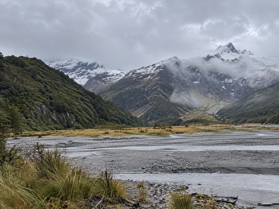 ChallengingRuth Flat Track31 km · 17 hr · 2.6 km awayRemote backcountry tramp to a view across the river to Ruth Flat.
 ModerateRob Roy Track10 km · 4.5 hr · 3.7 km awayA swingbridge, beech forest and glacier views reward the climb.
 ChallengingLiverpool Track30 km · 13 hr · 3.7 km awayA long, exposed climb to a hut above Matukituki Valley.
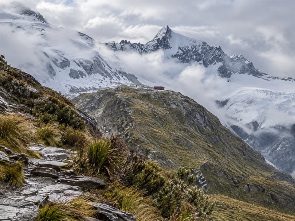 ChallengingFrench Ridge Track32.4 km · 13.5 hr · 3.7 km awayClimb from grassy valley flats to a hut above the alpine bushline.
 ModerateAspiring Hut Track18 km · 4.5 hr · 3.7 km awayLong valley flats lead to a hut beneath the Southern Alps.
 ChallengingWest Matukituki Track34.4 km · 11.5 hr · 3.7 km awayA long out-and-back into the upper West Matukituki Valley.
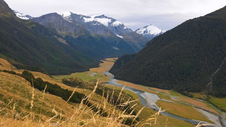 ChallengingShotover Saddle Route16 km · 9 hr · 3.7 km awayA steep, rough climb to a tarn shelf above the West Matukituki.
 Sight · 1.8 km awayWishbone FallsA tall branching waterfall breaks up the long valley drive.
 Sight · 5 km awayRob Roy GlacierA glacier view worth a long walk and a rough drive.
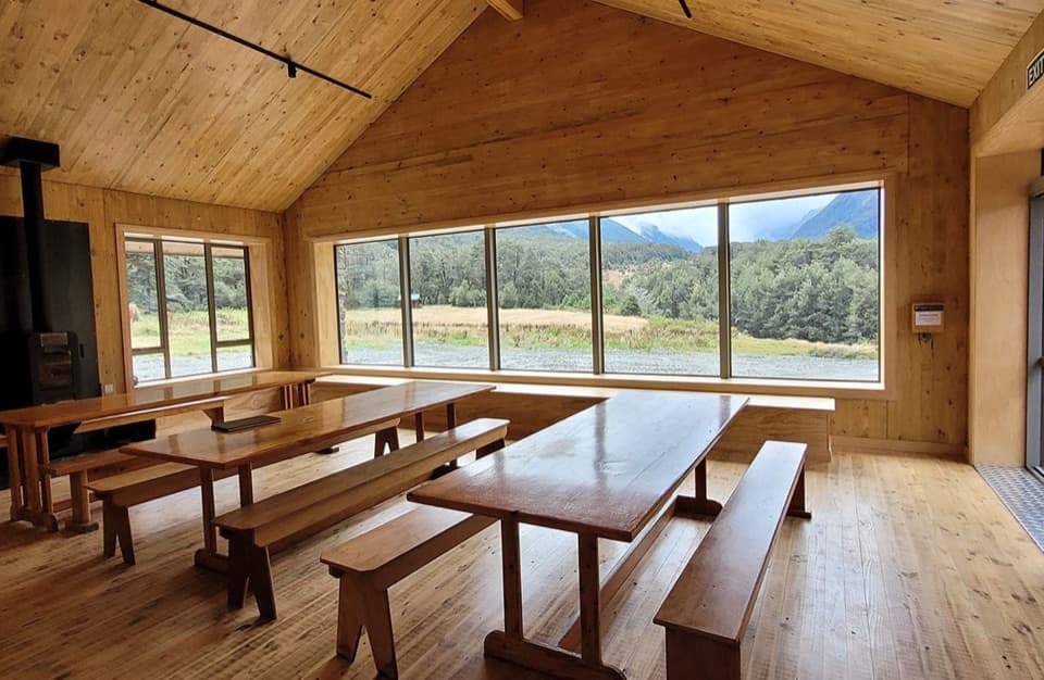 Lodging · 10.2 km awayAspiring HutA historic stone hut reached by a two-hour valley walk.
 Campground · 10.3 km awayAspiring CampsiteBackcountry tent camping beside a historic stone-walled hut.
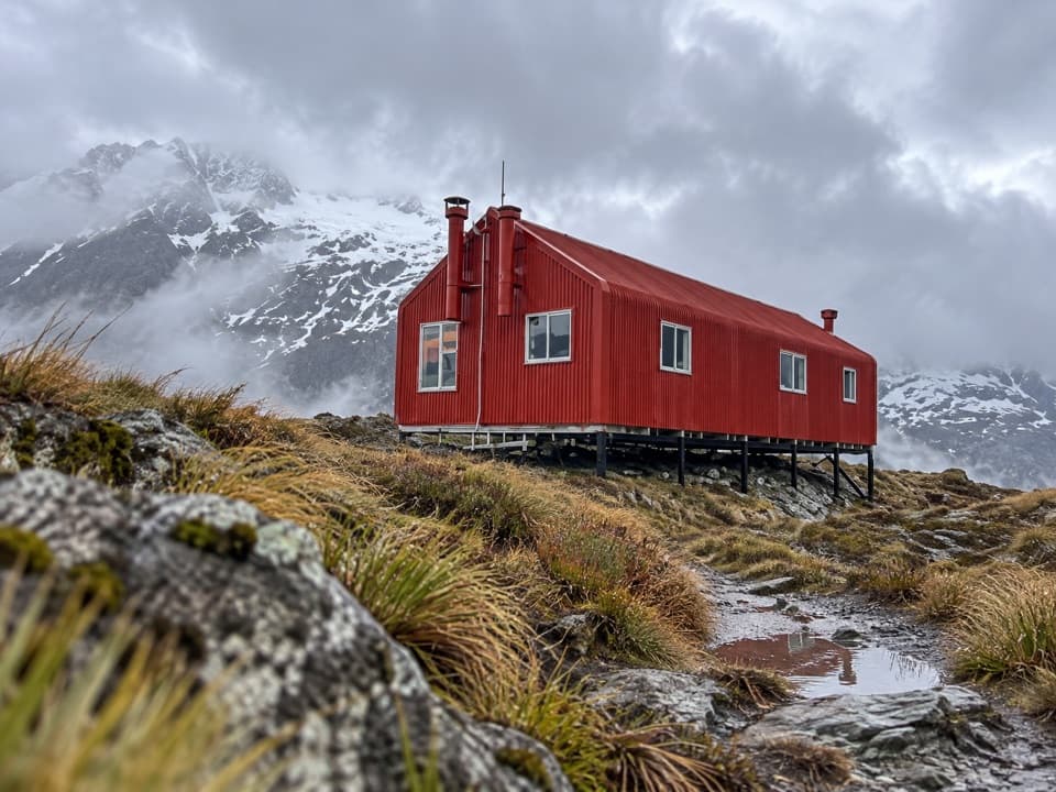 Lodging · 10.5 km awayFrench Ridge HutA high alpine hut for serious Mount Aspiring climbs.
 Lodging · 12 km awayLiverpool HutA red alpine hut earned by a steep, exposed climb.
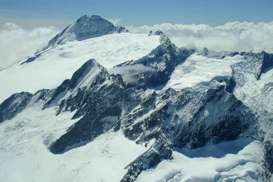 Sight · 13.3 km awayMount Aspiring / TititeaA 3,033 m horn for mountaineers, not day hikers.
 Lodging · 15.8 km awayColin Todd HutA remote climbing base beneath Mount Aspiring's northwest ridge.
Parkwolf’s Mount Aspiring ranking

The audio tour guide for the drive, plus offline maps, trails, and wildlife heatmaps for when the signal drops.




