Shotover Saddle Route in Mount Aspiring National Park

Mount Aspiring National Park, OT · WC

Shotover Saddle Route

A steep, rough climb to a tarn shelf above the West Matukituki.

Photo: CC BY 4.0
Length
16km
Time
9hr
Elev. change
1,168m
Difficulty
Challenging
  • No dogs
  • High point 1,532 m

Hear the audio tour

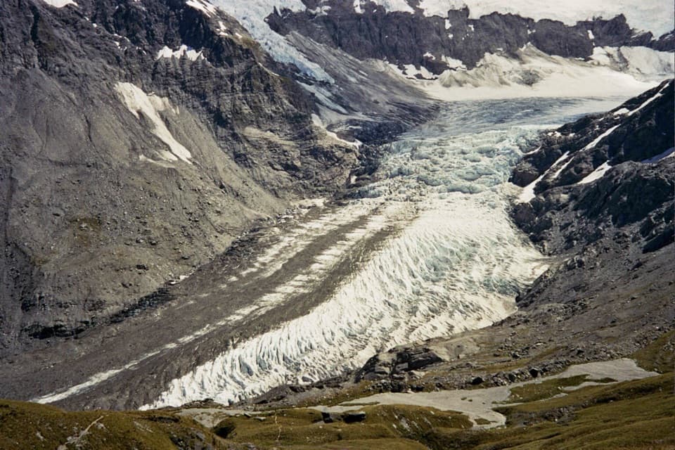
Raspberry Creek and Rob Roy Glacier

Overview

About Shotover Saddle Route

Why go

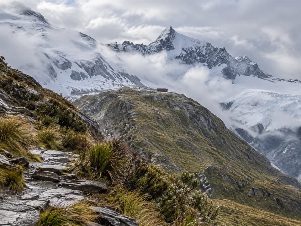
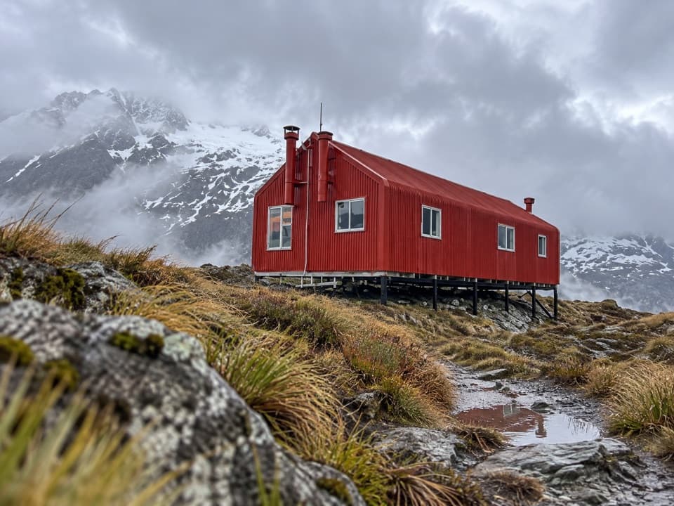
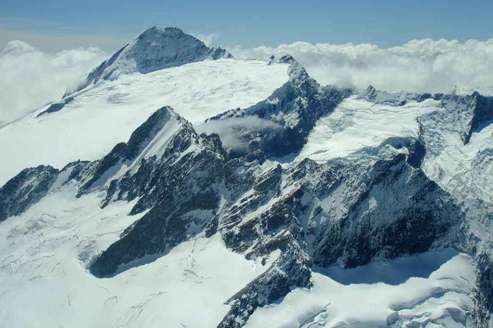
  • The tarn shelf opens a clear view across the West Matukituki to Rob Roy Peak.
  • Orange poles mark the steep upper route to a natural turnaround.

Heads up

  • About 16 km, 1,200 m of climbing and an expert-level upper route.
  • Rough exposed ground and avalanche terrain leave little room for poor weather.

Map & elevation

The route

Loading the Mount Aspiring map
Full map
Elevation364–1,532 m
TrailheadRaspberry Creek car park-44.51031, 168.74344
Keep this map with you offline in the Parkwolf app

Plan your hike

Before you go

Parking

Raspberry Creek car park at the end of Wanaka–Mount Aspiring Road, 54 km west of Wānaka; the final 30 km are gravel. Several creek fords cross the final 10 km and can become impassable after heavy rain. If the last two fords are too high, DOC advises parking safely before them and walking the last few hundred metres.

Safety

Very steep, largely unformed terrain with exposed shingle, rock and tussock, plus two stream crossings. This is complex avalanche terrain, usually May–November; wet or snow-covered footing is treacherous, and winter and spring are not recommended. No dogs; stay on the marked route across private land. Beyond the tarn shelf the route is unmarked and requires off-track navigation skills; exiting via the Shotover River also requires Branches Station permission.

1 active Mount Aspiring alert

  • CautionRob Roy Track: stop at lower lookout during avalanche seasonFrom May through November, end your Rob Roy Track hike at the lower lookout; DOC strongly recommends against continuing to the upper lookout because the track crosses active avalanche paths.Official details
Mount Aspiring alerts
A park ranger sits on a dash-mounted phone, talking, as Parkwolf’s Tour Guide plays “Army Cutworm Moths: A Grizzly Bear Buffet” on Grand Loop Road below Dunraven Pass in Yellowstone
Parkwolf Tour GuideThe highest, rockiest slopes around here are a summer buffet for grizzly bears.

Mount Aspiring Tour Guide

Your drive to Shotover Saddle Route, narrated.

Parkwolf is a GPS audio tour guide for Mount Aspiring National Park. As you drive, it chimes in with what’s ahead: hidden gems, upcoming stops, history, geology, and wildlife, right through your car’s speakers.

See the Mount Aspiring audio tour

Recorded for this area

Raspberry Creek and Rob Roy Glacier
0:00 / 0:30
“You're approaching Raspberry Creek car park, the start of the Rob Roy Glacier walk. For hanging glacier ice and waterfalls dropping from high cliffs, this is a walk I'd choose.”

Plays on the road 0.2 km from the trailhead in the Parkwolf Mount Aspiring Tour Guide.

More stories near here in the app

  • Wishbone Falls from the Valley Road
  • Otago Boys’ High Bridge and Kitchener Track
  • Mountains Still in the Making
  • Aspiring Hut's Original Walls
  • 80 audio storiesacross Mount Aspiring’s roads, triggered by GPS as you drive
  • Wildlife heatmapsfor Kea, Rockwren, Yellowhead, and 8 more
  • Works offlinemaps, 50 trails, 52 places, and audio download before you lose signal
  • CarPlay readysimple controls built for the drive
★★★★★
“Fantastic app with many points of information… It’s great to just turn on while you’re driving and it gives you an audio tour of the national Park. We love it!!!!”
JMJamesApp Store review
Download Parkwolf on the App StoreGet Parkwolf on Google Play

4.7 from 8,600+ ratings

Trail guide

Hiking Shotover Saddle Route

A full day from Raspberry CreekFrom Raspberry Creek car park, this is an out-and-back of about 16 km (10 miles) total,…

From Raspberry Creek car park, this is an out-and-back of about 16 km (10 miles) total, including the valley approach and return, with roughly 1,200 m of climbing. About 5.3 km each way follows the West Matukituki Track to the Shotover route sign just before Brides Veil Waterfall; the upper route adds about 2.7 km each way to the tarn shelf below the saddle. Allow about nine hours. This is an expert day for experienced alpine trampers, not a casual extension of the valley walk.

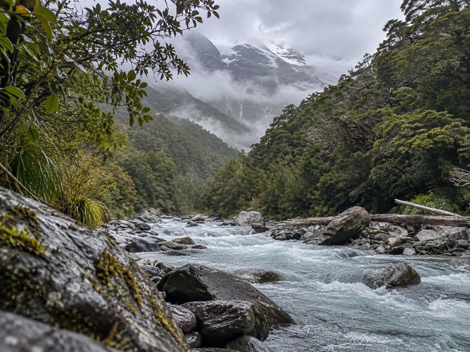
From the valley to open tussockThe approach follows the West Matukituki Track to the signed branch.

The approach follows the West Matukituki Track to the signed branch. From there, the marked but largely unformed route climbs steeply through pasture and patches of bracken, then into higher tussock. The upper line crosses a stream twice and negotiates exposed shingle, rock and tussock before bearing left to an easier tussock slope and knoll. Follow the poles: the route is hard underfoot even when the way ahead looks obvious.

Stop at the tarn shelfThe marked route finishes on a shelf with a large tarn just below Shotover Saddle.

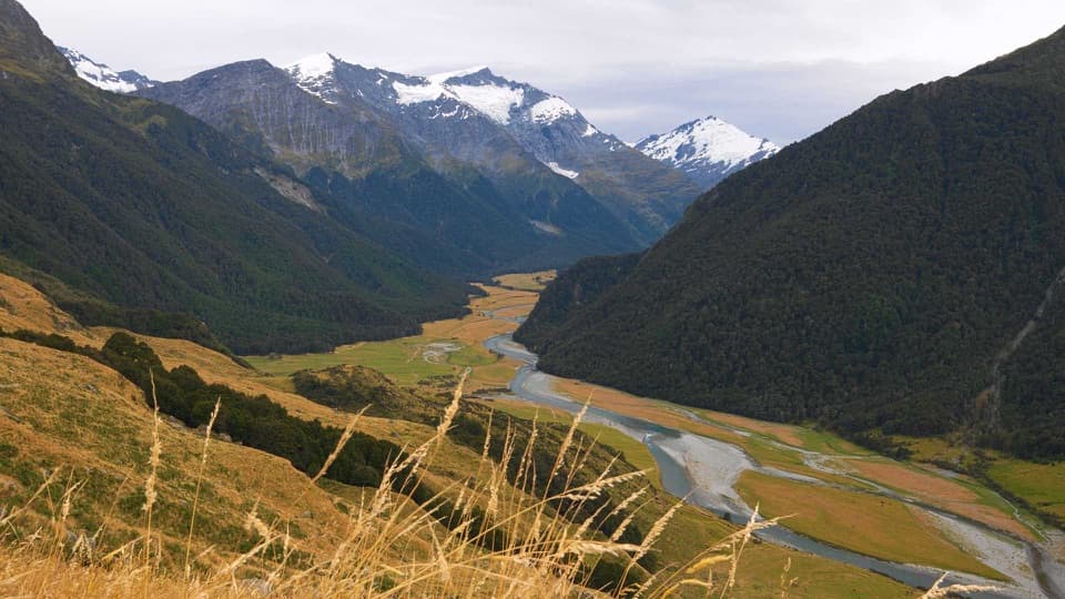
The marked route finishes on a shelf with a large tarn just below Shotover Saddle. From here you look across the West Matukituki Valley toward Rob Roy Peak. The tarn makes a useful foreground for a view back down the valley. Beyond the shelf there is no marked route; continuing needs off-track tramping and navigation experience.

Weather and alpine hazardsThis is complex avalanche terrain, and slides can cross the route, usually from May through…

This is complex avalanche terrain, and slides can cross the route, usually from May through November. Wet or snow-covered rock and tussock can be treacherous, and sudden snow can arrive even in summer. Winter and spring are not recommended; early summer can still require crampons and an ice axe. Be ready to turn back if stream levels or conditions make the route unsafe.

Getting to the startRaspberry Creek car park is 54 km west of Wānaka on the Wanaka–Mount Aspiring Road.

Raspberry Creek car park is 54 km west of Wānaka on the Wanaka–Mount Aspiring Road. The final 30 km are gravel, with several creek fords in the last 10 km; heavy rain can make them impassable. If the final two fords are too high, park safely before them and walk the last few hundred metres. The route crosses private land, so stay on the marked line, respect livestock and leave gates as you find them. Dogs are not allowed. Route information lists no food or on-route services, so carry what you need for the full day.

Wildlife

Wildlife in Mount Aspiring

All Mount Aspiring wildlife maps

Sighting maps show where each species has been reported across Mount Aspiring. Wildlife moves, so no sighting is guaranteed.

Keep exploring

Near Shotover Saddle Route

See it all on the map

Trails that start nearby

Places near the trailhead

Parkwolf’s Mount Aspiring ranking

Top-rated trails in Mount Aspiring

All 50 trails
  1. 1Routeburn TrackChallenging · 33.1 km
  2. 2Rob Roy TrackModerate · 10 km
  3. 3Gillespie Pass CircuitChallenging · 56 km
  4. 4Rees-Dart TrackChallenging · 63 km
  5. 5Brewster TrackChallenging · 5.6 km
  6. 6Blue Pools TrackEasy · 3.2 km

Take Parkwolf to Mount Aspiring.

The audio tour guide for the drive, plus offline maps, trails, and wildlife heatmaps for when the signal drops.

4.7 from 8,600+ ratings

Download Parkwolf on the App StoreGet Parkwolf on Google Play