Kitchener Track to Aspiring Flats in Mount Aspiring National Park

Mount Aspiring National Park, OT · WC

Kitchener Track to Aspiring Flats

A rough, full-day route to a big Kitchener Cirque view

Photo: CC BY 4.0
Length
30km
Time
11hr
Elev. change
194m
Difficulty
Challenging
  • No dogs
  • High point 530 m
  • #19 of 50 in Mount Aspiring

Hear the audio tour

Otago Boys’ High Bridge and Kitchener Track

Overview

About Kitchener Track to Aspiring Flats

Why go

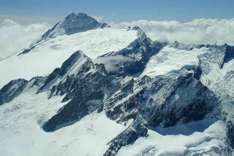
  • Aspiring Flats opens onto a close view of Kitchener Cirque and Turnbull Thomson Falls
  • A long valley approach leads from river flats into beech forest and a high gorge

Heads up

  • The bridge-start version is a very long day over mud, roots, rock and slips
  • The shorter start requires an unbridged river ford

Map & elevation

The route

Loading the Mount Aspiring map
Full map
Elevation336–530 m
TrailheadOtago Boys’ High Bridge, MacPherson Creek-44.49643, 168.78594
Keep this map with you offline in the Parkwolf app

Plan your hike

Before you go

Parking

Start at Otago Boys’ High Bridge car park at MacPherson Creek, 2.5 km beyond the Camerons Flat turnoff. The final 25 km of road is gravel. From the bridge, allow about an hour to join the East Matukituki track. The Camerons Flat start is shorter but requires a river ford.

Safety

Major slips, muddy roots and rocky scrambling make this a slow, hard tramp; one narrow old slip is unstable and its markers can move. Heavy rain can flood the Kitchener Valley, and silt at Aspiring Flats may hide quicksand. Do not ford the Matukituki at Camerons Flat if the river is high or the crossing is uncertain. No dogs; the approach crosses private leasehold, so stay on route and respect stock. Do not camp until conservation land.

1 active Mount Aspiring alert

  • CautionRob Roy Track: stop at lower lookout during avalanche seasonFrom May through November, end your Rob Roy Track hike at the lower lookout; DOC strongly recommends against continuing to the upper lookout because the track crosses active avalanche paths.Official details
Mount Aspiring alerts
A park ranger sits on a dash-mounted phone, talking, as Parkwolf’s Tour Guide plays “Army Cutworm Moths: A Grizzly Bear Buffet” on Grand Loop Road below Dunraven Pass in Yellowstone
Parkwolf Tour GuideThe highest, rockiest slopes around here are a summer buffet for grizzly bears.

Mount Aspiring Tour Guide

Your drive to Kitchener Track to Aspiring Flats, narrated.

Parkwolf is a GPS audio tour guide for Mount Aspiring National Park. As you drive, it chimes in with what’s ahead: hidden gems, upcoming stops, history, geology, and wildlife, right through your car’s speakers.

See the Mount Aspiring audio tour

Recorded for this trailhead

Otago Boys’ High Bridge and Kitchener Track
0:00 / 0:28
“You're nearing Otago Boys' High Bridge, a starting point for the East Matukituki valley.”

Plays as you drive up to this trailhead in the Parkwolf Mount Aspiring Tour Guide.

More stories near here in the app

  • Wishbone Falls from the Valley Road
  • Mountains Still in the Making
  • Aspiring Hut's Original Walls
  • Raspberry Creek and Rob Roy Glacier
  • 80 audio storiesacross Mount Aspiring’s roads, triggered by GPS as you drive
  • Wildlife heatmapsfor Kea, Rockwren, Yellowhead, and 8 more
  • Works offlinemaps, 50 trails, 52 places, and audio download before you lose signal
  • CarPlay readysimple controls built for the drive
★★★★★
“Fantastic app with many points of information… It’s great to just turn on while you’re driving and it gives you an audio tour of the national Park. We love it!!!!”
JMJamesApp Store review
Download Parkwolf on the App StoreGet Parkwolf on Google Play

4.7 from 8,600+ ratings

Trail guide

Hiking Kitchener Track to Aspiring Flats

A long day into Kitchener CirqueThis is a hard out-and-back through the East Matukituki valley to Aspiring Flats beneath…

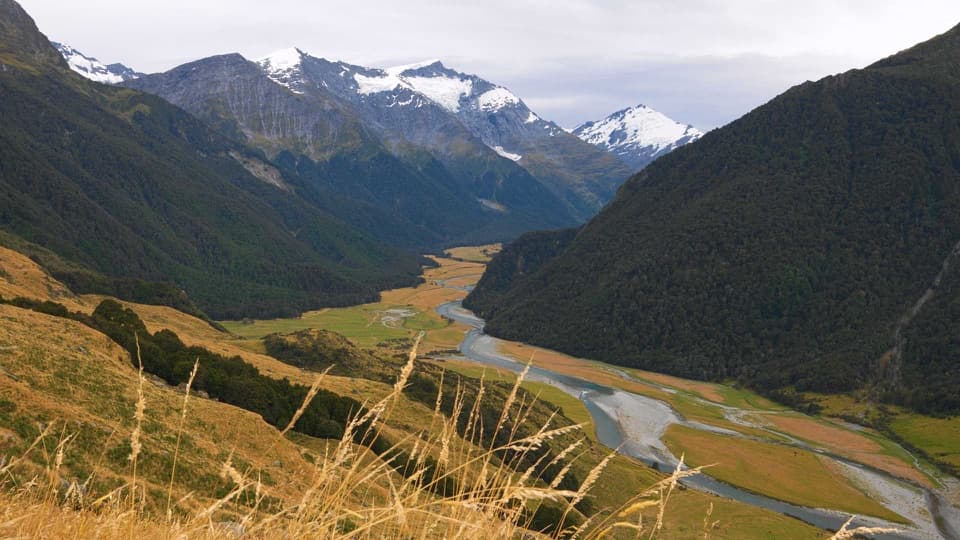
This is a hard out-and-back through the East Matukituki valley to Aspiring Flats beneath Kitchener Cirque. From Otago Boys’ High Bridge, the listed distance is 30 km return; set aside about 11 hours for slow, rough ground. The mapped corridor is about 13 km one way, shorter than half the published return distance, so use 30 km as the planning figure and keep time in hand. The shorter Camerons Flat start is listed at 24 km return and begins with an unbridged river ford; that is a different access from the line mapped here.

From the bridge to Junction FlatPark by the bridge at MacPherson Creek, cross the West Matukituki, then walk about an hour to…

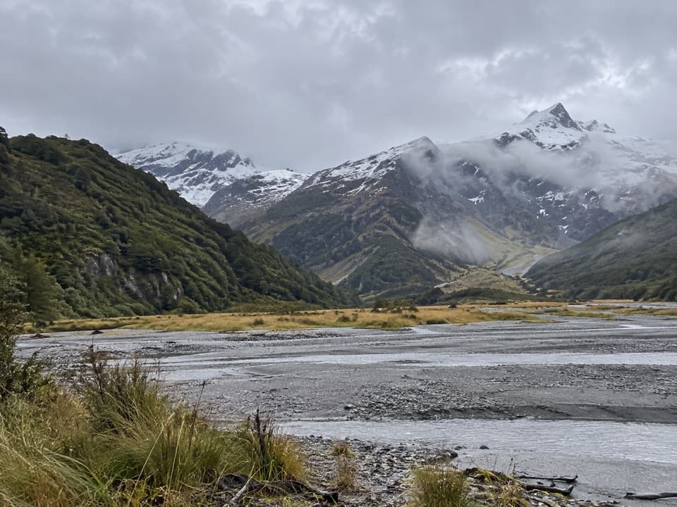
Park by the bridge at MacPherson Creek, cross the West Matukituki, then walk about an hour to join the East Matukituki track. The route follows grassy river flats through leasehold farmland before crossing Glacier Burn and continuing beside the East Matukituki to Junction Flat. Expect mud, exposed roots, rocky scrambling and several major slips; those sections make the mileage slower than a valley path suggests.

Up the Kitchener ValleyAt Junction Flat, turn into the Kitchener Valley and follow the true right bank of the river.

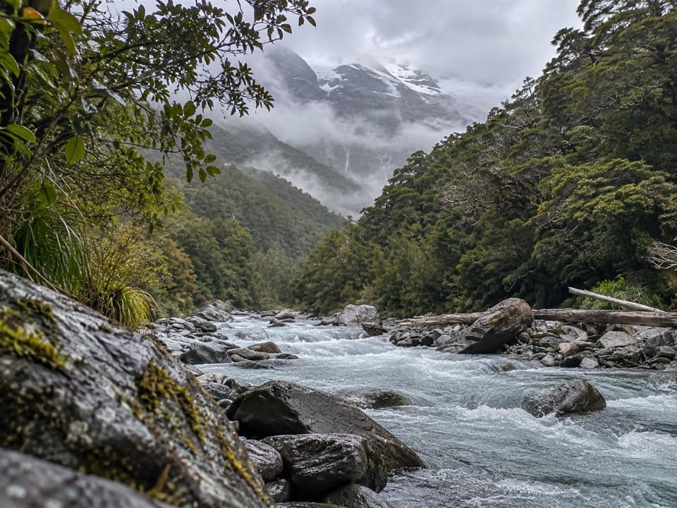
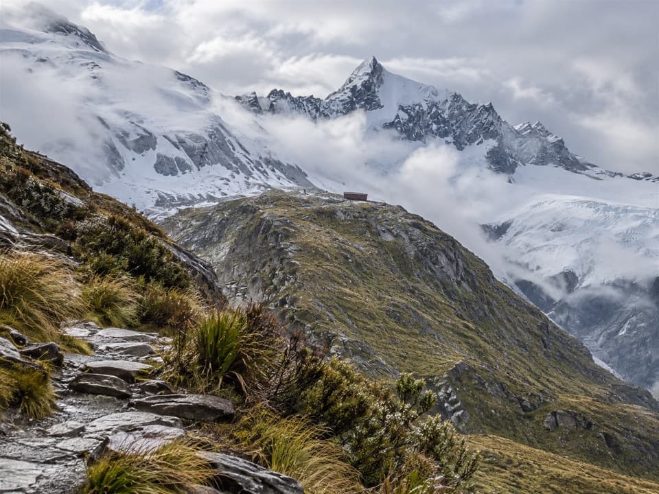
At Junction Flat, turn into the Kitchener Valley and follow the true right bank of the river. A narrow, old slip is unstable and its markers can move, so pay attention through this section. The track then passes through beech forest to the top of the gorge and ends at Aspiring Flats. From the flats, the Kitchener Cirque and Turnbull Thomson Falls fill the head of the valley; that open view is the payoff for the long approach.

Choose the start by river conditionsCamerons Flat is the shorter start, but reaching the route means fording the Matukituki River.

Camerons Flat is the shorter start, but reaching the route means fording the Matukituki River. When the river is high, use the bridge access instead; it avoids that ford but adds about 6 km to the return walk and an hour-long connector to the East Matukituki track. Never attempt the ford if you cannot find safe entry and exit points or are unsure about the flow.

Flats, weather and access rulesSilty ground at Aspiring Flats can conceal quicksand, and heavy rain can flood the Kitchener…

Silty ground at Aspiring Flats can conceal quicksand, and heavy rain can flood the Kitchener Valley. Winter often brings muddier, more slippery ground and occasional snow; weather can turn at any time. The East Matukituki approach crosses private leasehold farmland: stay on the marked route and respect stock. Dogs are not allowed, and camping is not permitted until you reach conservation land.

Rock of Ages is a separate extensionThe Rock of Ages biv is about 30 minutes beyond Aspiring Flats, but the route to it is unmarked…

The Rock of Ages biv is about 30 minutes beyond Aspiring Flats, but the route to it is unmarked and hard to find. It is not included in this track’s distance or mapped line; treat it as a separate navigation objective, not an obvious continuation.

Wildlife

Wildlife in Mount Aspiring

All Mount Aspiring wildlife maps

Sighting maps show where each species has been reported across Mount Aspiring. Wildlife moves, so no sighting is guaranteed.

Keep exploring

Near Kitchener Track to Aspiring Flats

See it all on the map

Trails that start nearby

Places near the trailhead

Parkwolf’s Mount Aspiring ranking

Top-rated trails in Mount Aspiring

All 50 trails
  1. 1Routeburn TrackChallenging · 33.1 km
  2. 2Rob Roy TrackModerate · 10 km
  3. 3Gillespie Pass CircuitChallenging · 56 km
  4. 4Rees-Dart TrackChallenging · 63 km
  5. 5Brewster TrackChallenging · 5.6 km
  6. 6Blue Pools TrackEasy · 3.2 km

Take Parkwolf to Mount Aspiring.

The audio tour guide for the drive, plus offline maps, trails, and wildlife heatmaps for when the signal drops.

4.7 from 8,600+ ratings

Download Parkwolf on the App StoreGet Parkwolf on Google Play