Beans Burn Track in Mount Aspiring National Park

Mount Aspiring National Park, OT · WC

Beans Burn Track

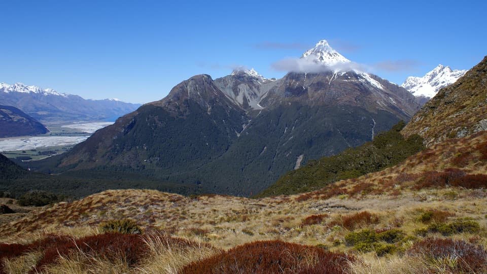
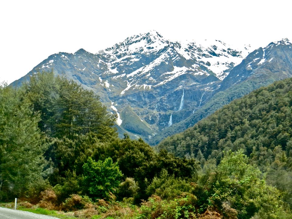
A remote river walk into a mossy boulder gorge.

Photo: CC BY 4.0
Length
13.2km
Time
9hr
Elev. change
183m
Difficulty
Challenging
  • No dogs
  • High point 567 m

Hear the audio tour

Falcon or Harrier? Watch the Flight

Overview

About Beans Burn Track

Why go

  • A rare river-valley walk through mossy beech forest and a boulder gorge.
  • Split Rock Biv is a memorable natural shelter at the upper end.

Heads up

  • The remote river access takes planning, and the foot approach adds substantial distance.
  • Upper sections can be overgrown and difficult to follow.

Map & elevation

The route

Loading the Mount Aspiring map
Full map
Elevation384–567 m
TrailheadBeans Burn–Dart River mouth access-44.67106, 168.30985
Keep this map with you offline in the Parkwolf app

Plan your hike

Before you go

Parking

Road access reaches Weka Flat on Routeburn–Kinloch Road; Beans Burn mouth is beyond it, reached on foot via Lake Sylvan, the Dart terraces and Rock Burn canyon bridge, or by commercial jetboat from Glenorchy. The 8.2-mile return starts at the river mouth and excludes the long foot approach. No Beans Burn parking or facilities were found.

Safety

The track entrance is easy to miss: it is about 100 m upstream from the confluence on the Dart bank, not on the Beans Burn bank. Upper fern, concealed roots and fallen trees can make the track hard to follow. Dogs are prohibited in this part of Mount Aspiring National Park.

1 active Mount Aspiring alert

  • CautionRob Roy Track: stop at lower lookout during avalanche seasonFrom May through November, end your Rob Roy Track hike at the lower lookout; DOC strongly recommends against continuing to the upper lookout because the track crosses active avalanche paths.Official details
Mount Aspiring alerts
A park ranger sits on a dash-mounted phone, talking, as Parkwolf’s Tour Guide plays “Army Cutworm Moths: A Grizzly Bear Buffet” on Grand Loop Road below Dunraven Pass in Yellowstone
Parkwolf Tour GuideThe highest, rockiest slopes around here are a summer buffet for grizzly bears.

Mount Aspiring Tour Guide

Your drive to Beans Burn Track, narrated.

Parkwolf is a GPS audio tour guide for Mount Aspiring National Park. As you drive, it chimes in with what’s ahead: hidden gems, upcoming stops, history, geology, and wildlife, right through your car’s speakers.

See the Mount Aspiring audio tour

Recorded for this area

Falcon or Harrier? Watch the Flight
0:00 / 0:29
“A fast chase can be a clue that you're watching a kārearea, the New Zealand falcon. It's smaller than a swamp harrier and often pursues other birds in quick, active flight.”

Plays on the road 1.8 km from the trailhead in the Parkwolf Mount Aspiring Tour Guide.

More stories near here in the app

  • Paradise Before the Motorcar
  • One Bird, Several Sounds
  • The Warbler's Oversized Chick
  • The Tree with Blue Pollen
  • 80 audio storiesacross Mount Aspiring’s roads, triggered by GPS as you drive
  • Wildlife heatmapsfor Kea, Rockwren, Yellowhead, and 8 more
  • Works offlinemaps, 50 trails, 52 places, and audio download before you lose signal
  • CarPlay readysimple controls built for the drive
★★★★★
“Fantastic app with many points of information… It’s great to just turn on while you’re driving and it gives you an audio tour of the national Park. We love it!!!!”
JMJamesApp Store review
Download Parkwolf on the App StoreGet Parkwolf on Google Play

4.7 from 8,600+ ratings

Trail guide

Hiking Beans Burn Track

Is this the kind of trip you want?Beans Burn Track is a remote out-and-back from the Dart River to the upper valley at Split Rock…

Beans Burn Track is a remote out-and-back from the Dart River to the upper valley at Split Rock Biv: about 8.2 miles (13.2 km) return along the track corridor. It is a rough, slow walk through beech forest and river country, not a quick picnic trail. Budget about nine hours on the track; that excludes the long walk in from Weka Flat and Lake Sylvan. If you reach the mouth by boat, arrange the river transport in advance. Consider an overnight at Split Rock rather than rushing a long return.

Find the track at the riverAt the Dart–Beans Burn confluence, the entrance is about 100 m upstream on the Dart bank, where…

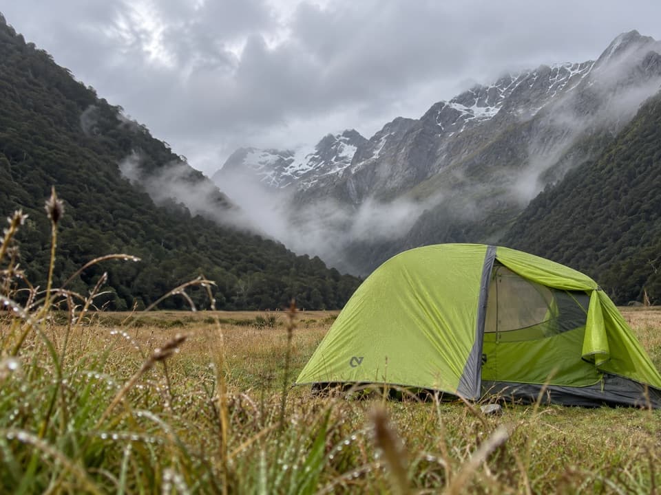
At the Dart–Beans Burn confluence, the entrance is about 100 m upstream on the Dart bank, where the track comes out of the trees. It is easy to walk to the confluence and start pushing up the wrong bank instead; the forest there gets thick quickly. If there is no obvious tread, stop and check your position before climbing through bush.

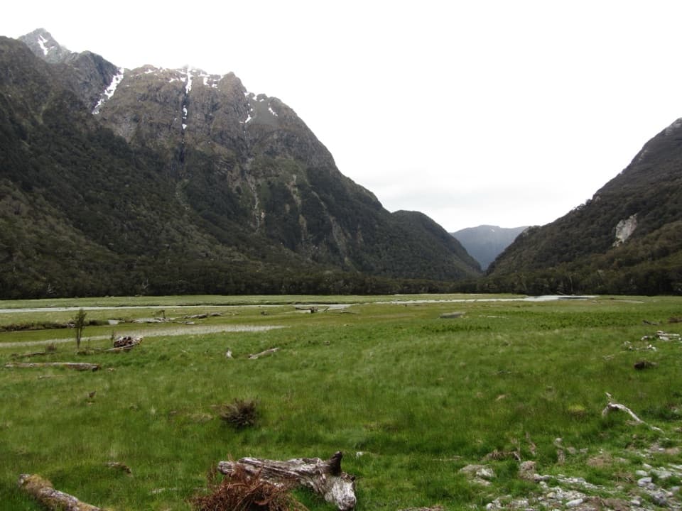
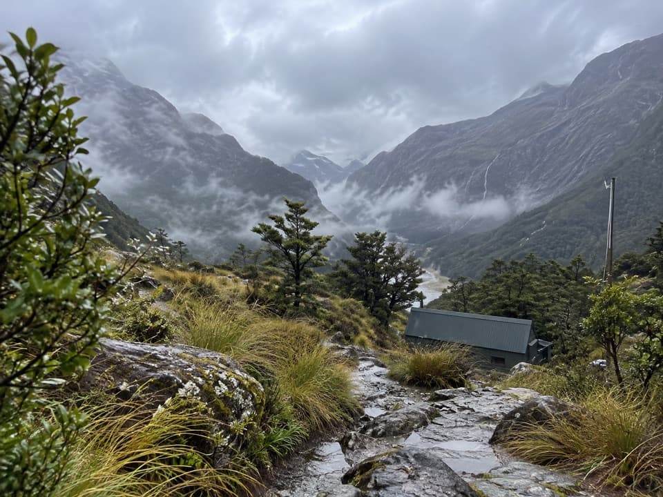
Once you find it, the route climbs gradually beside Beans Burn through lush beech forest. For a long stretch the walking is steady, with moss, roots and a river sound beside you. Where the valley narrows, the track sidles higher through rougher ground and progress slows.

The upper valley and Split RockFarther up, crown fern, tight gullies and fallen trees make the line less obvious.

Farther up, crown fern, tight gullies and fallen trees make the line less obvious. Wet roots can be slick under leaf cover, and a ribbon or cairn can be easy to miss in the scrub. The swing bridge crosses the burn near a striking gorge of turquoise water and moss-covered boulders; frame a foreground boulder with the water to show the scale of the channel.

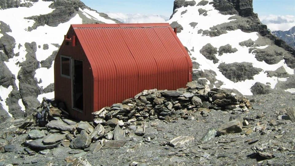
The track reaches Split Rock Biv, a grassy clearing beneath enormous rock overhangs. It is a natural shelter, not a serviced hut, and no facilities were confirmed. Beyond it, the line toward Fohn Saddle becomes a steep, unmarked backcountry route with rocky streambed travel and wading; that is the separate Five Passes continuation, not part of this walk.

Access and rulesRoad access is to Weka Flat on Routeburn–Kinloch Road.

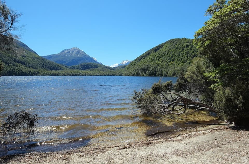
Road access is to Weka Flat on Routeburn–Kinloch Road. From there, DOC describes a foot approach via Lake Sylvan, the Dart terraces and the Rock Burn canyon bridge; the river mouth can also be reached by commercial jetboat from Glenorchy. The 8.2-mile return starts at the Beans Burn mouth and does not include that approach. Dogs are not allowed in this part of Mount Aspiring National Park, and there are no confirmed trailhead services.

Wildlife

Wildlife in Mount Aspiring

All Mount Aspiring wildlife maps

Sighting maps show where each species has been reported across Mount Aspiring. Wildlife moves, so no sighting is guaranteed.

Keep exploring

Near Beans Burn Track

See it all on the map

Trails that start nearby

Places near the trailhead

Parkwolf’s Mount Aspiring ranking

Top-rated trails in Mount Aspiring

All 50 trails
  1. 1Routeburn TrackChallenging · 33.1 km
  2. 2Rob Roy TrackModerate · 10 km
  3. 3Gillespie Pass CircuitChallenging · 56 km
  4. 4Rees-Dart TrackChallenging · 63 km
  5. 5Brewster TrackChallenging · 5.6 km
  6. 6Blue Pools TrackEasy · 3.2 km

Take Parkwolf to Mount Aspiring.

The audio tour guide for the drive, plus offline maps, trails, and wildlife heatmaps for when the signal drops.

4.7 from 8,600+ ratings

Download Parkwolf on the App StoreGet Parkwolf on Google Play