Moderate

Old Mine Trail

Short bike-and-hike to a fern-draped, gated historic mine
Old Mine Trail, Mount Rainier National Park
Distance2.9 mi
Typical time2 hr
DifficultyModerate
PetsNot allowed

Overview

A quick hit of Carbon River rainforest with a quirky payoff: a gated mine portal tucked into a mossy hillside. You’ll follow the former Carbon River Road (now a wide multi-use trail) for about 1.2 miles before tackling a short, very steep spur to the mine. Total distance is roughly 2.9 miles round-trip, out-and-back, including the approach.

Route and Difficulty

From the Carbon River Entrance, walk or bike the nearly flat road-trail for ~1.2 miles. Watch for the signed Old Mine Trail spur—easy to miss if you’re chatting—then grind up 0.3 miles of tight switchbacks and many steps to the mine entrance. Elevation gain concentrates here (about 300 feet). Most of the outing is easy; the finish is a short, punchy climb that can challenge little legs and anyone with knee issues.

What You’ll See

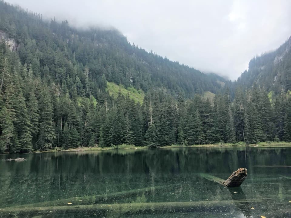
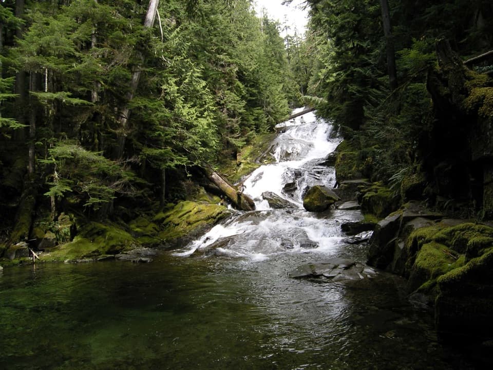
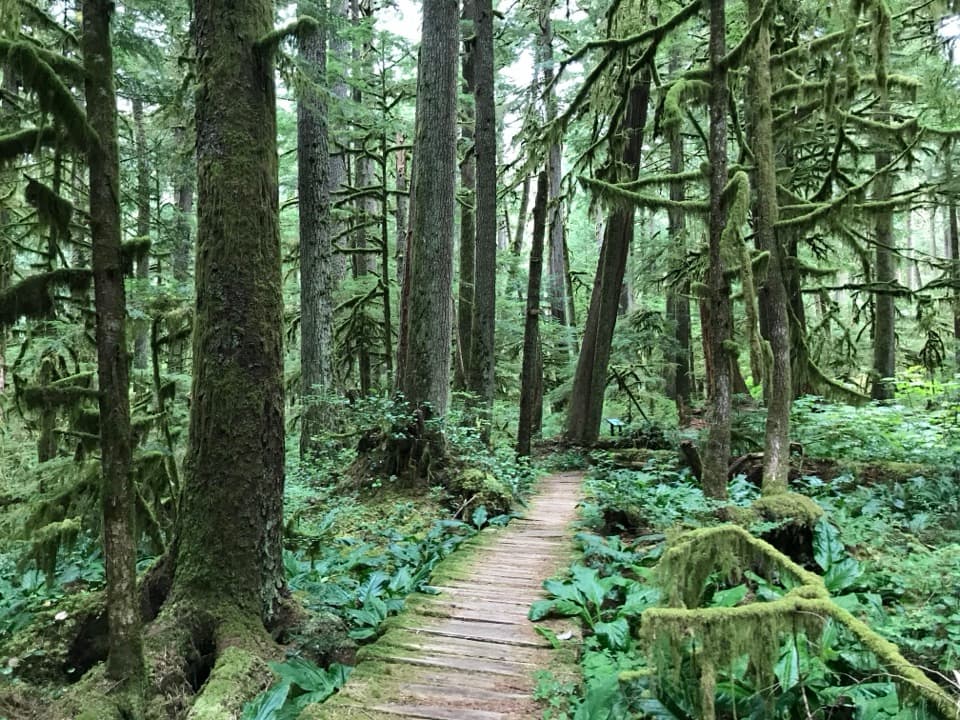
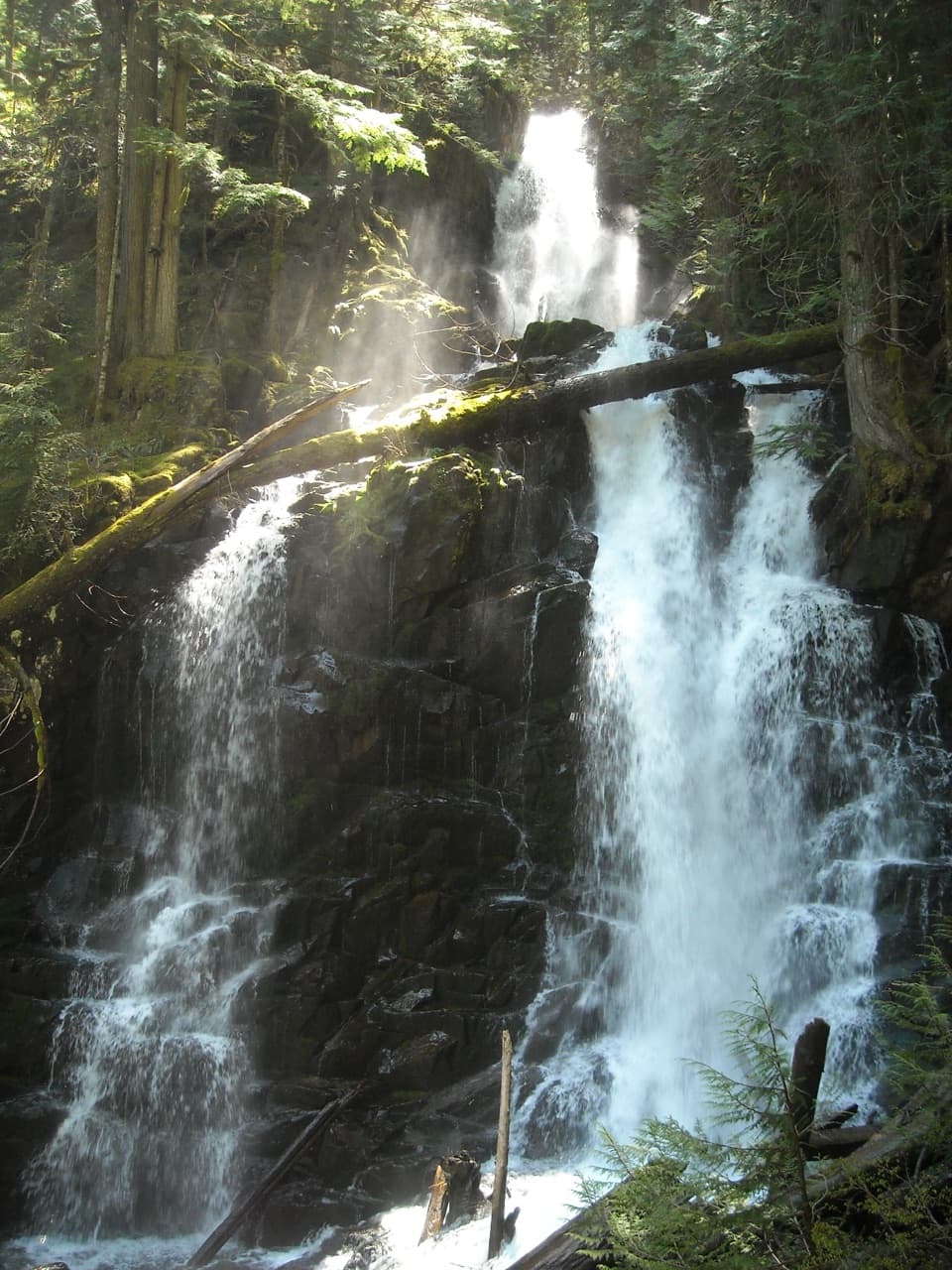
This corner of the park soaks up rain, and it shows. Expect towering western red cedar and Douglas fir, carpets of sword ferns, and thick moss everywhere. The Carbon River accompanies much of the approach with the white noise of fast water. At the end, a gated mine shaft peeks out from the hillside, with traces of old cart tracks and subtle signs of past structures. Historically, ore once traveled down an incline railway from here—fun to picture as you catch your breath at the gate.

Tips and Logistics

Bikes are allowed on the road-trail, making this an ideal bike-and-hike: spin the flat approach, then lock up and hike the steep spur. Parking at the Carbon River Trailhead is limited; on busy weekends you may be walking extra. There are no facilities at the mine—pack what you need and pack it out. Bring waterproof footwear; this corridor is often wet and muddy, and the steps can be slick.

Best Time to Hike

Open year-round, but it’s a rainforest experience. Winter and spring are wet and muddy, and washouts along the Carbon River corridor can affect travel—check conditions before you go. Late summer and early fall tend to be the driest and least messy. Weekday mornings are your best bet for easier parking and a quieter walk.

Is It For You?

If you like short, off-the-beaten-path outings with a clear destination and a dose of history, this is a satisfying side mission. If you’re after big views, skip it and head farther up the corridor to longer options like Green Lake or Chenuis Falls instead.

Pros

  • Easy bike-and-hike option on the flat Carbon River road-trail approach
  • Gated mine portal with remnant tracks adds a distinct historic payoff

Cons

  • Final 0.3-mile spur is extremely steep and slick when wet
  • Trail spur sign can be inconspicuous—easy to walk past on the approach

Parking

Limited parking at the Carbon River Trailhead near the park’s northwest entrance; overflow may require a longer walk. Display your park pass.

Caution

Short but very steep spur with many steps; surfaces are often wet and muddy and can be slippery. Occasional washouts affect the Carbon River corridor—check conditions. Be aware of bike traffic on the approach. The mine is gated; do not attempt to enter.

The Parkwolf tour guide sitting on a phone mounted in a car

Parkwolf Tour Guide

Like a tour guide in your car.

Bring Mount Rainier trail research into the car, with offline maps and stories that play as you drive.Download Parkwolf on the App Store