Parking
Start at the Carbon River Entrance parking area. It is a small lot with vault toilets; potable water is not available there. The named falls junction is about 3½ miles along the former road.
Mount Rainier National Park, WA
A reclaimed road leads to a rocky river crossing and falls.
Overview
Map & elevation
Plan your hike

The highest, rockiest slopes around here are a summer buffet for grizzly bears.
Mount Rainier Tour Guide
Parkwolf is a GPS audio tour guide for Mount Rainier National Park. As you drive, it chimes in with what’s ahead: hidden gems, upcoming stops, history, geology, and wildlife, right through your car’s speakers.
See the Mount Rainier audio tourRecorded for this area
An Alder's Underground Helpers“Red alders can get a start on rocky river margins where many other trees struggle. Part of their advantage is underground.”
Plays near this trailhead in the Parkwolf Mount Rainier Tour Guide.
More stories near here in the app
“Fantastic app with many points of information… It’s great to just turn on while you’re driving and it gives you an audio tour of the national Park. We love it!!!!”


Trail guide
Chenuis Falls Trail is a 7.4-mile out-and-back from Carbon River Entrance. Most of the distance follows the former Carbon River Road on a gentle grade; the last spur crosses a broad rocky riverbed, reaches a log footbridge, then climbs to a view above the falls. Plan on about 4.5 hours and roughly 400 feet of climb. Do it for the waterfall and the strange old road; skip it if you want a quick roadside falls stop.
For about 3½ miles, the route follows the old road through forest. The grade is easy, but the surface changes from dirt to rock and washouts can leave rough patches or debris to work around. It is a long, quiet approach before the trail turns toward the river, so the falls feel earned rather than immediate.
Leave the road at the Chenuis Falls junction. The path drops onto the Carbon River’s wide, stony floodplain, where cairns may be the clearest markers, then crosses a log footbridge and climbs toward the falls. Stay with the marked line through the rocks. The footlog is vulnerable to washouts; never attempt the river crossing if it is missing.
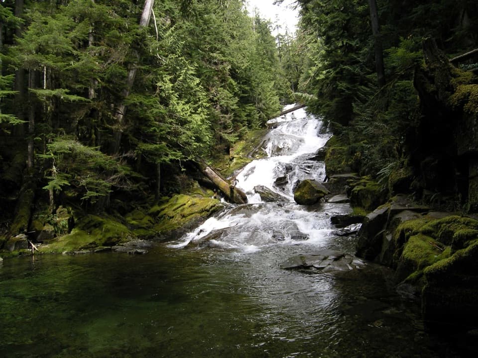
Chenuis Falls is a broad, rolling cascade over dark rock rather than one sheer plunge. The path continues uphill beyond the water for a view from above. That higher angle shows how the falls step through the forested ravine; it is the best place to take in the whole cascade instead of only the pool at its base.
Floods in 2006 and 2008 damaged the old Carbon River Road, and the park left it as a walking and bicycling corridor instead of rebuilding it. The Carbon River runs from Carbon Glacier, the deepest and longest glacier in the contiguous United States. This walk follows the river’s edge through the landscape that reshaped the road.
Park at Carbon River Entrance. The small lot has vault toilets, but potable water was not found at the entrance. You can bike the former road to the falls junction and lock your bike at the rack there; bicycles are not allowed on the hiking spur. Pets are not allowed on park trails.
Wildlife
 466 sightingsMountain GoatMost seen around 6 AMSighting map
 383 sightingsBlack BearMost seen around 7 PMSighting map
 10 sightingsWolverineMost seen around 6 AMSighting map
 58 sightingsElkMost seen around 6 AMSighting map
 574 sightingsMule DeerMost seen around 6 AMSighting map
 1,853 sightingsHoary MarmotMost seen around 6 AMSighting map
Sighting maps show where each species has been reported across Mount Rainier. Wildlife moves, so no sighting is guaranteed.
Keep exploring
 ChallengingCarbon Glacier and Moraine Park Trail21 mi · 11 hr · At the trailheadA glacier overlook and wildflower meadow reward a long river walk
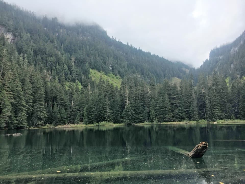 ModerateGreen Lake Trail10.5 mi · 5 hr · At the trailheadA rainforest walk to a 172-foot waterfall and a tucked-away lake.
 ModerateOld Mine Trail2.9 mi · 2 hr · At the trailheadA rainforest path to a steep spur and a gated historic mine.
 ChallengingBoundary Trail to Florence Peak8 mi · 7.5 hr · At the trailheadA steep rainforest climb ends at a rocky ridge and summit scramble.
 ModerateCarbon River Trail10 mi · 5 hr · At the trailheadA long rainforest road walk beside a restless glacial river
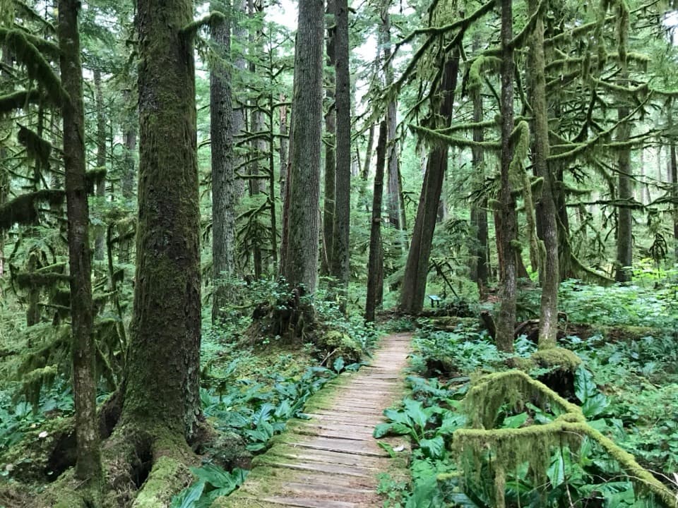 EasyCarbon River Rain Forest Nature Trail0.5 mi · 24 min · At the trailheadA mossy boardwalk through a rare inland rainforest.
 ChallengingWest Boundary Trail6 mi · 4 hr · At the trailheadA steep rainforest climb with waterfalls and a forested ridge.
 ChallengingLake James Trail25.9 mi · 14 hr · 0.2 mi awayA long backcountry climb through Windy Gap to a tucked-away lake.
 Sight · 1.2 mi awayCarbon River Old MineA fern-framed mine entrance from Rainier’s short mining boom.
 Ranger station · 2.2 mi awayCarbon River Ranger StationRanger help and permits from a remodeled farmhouse.
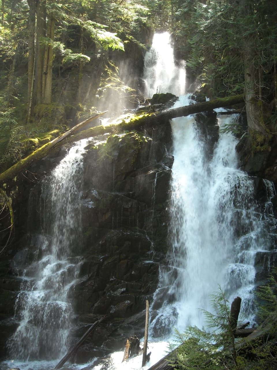 Sight · 3 mi awayRanger FallsThree tiers of falling water reward a long Green Lake walk.
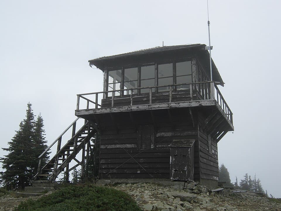 Sight · 3.1 mi awayTolmie Peak Fire LookoutRainier rises above Eunice Lake from this historic lookout's rocky perch.
 Sight · 3.5 mi awayChenuis FallsA 168-foot cascade at the end of a long riverside walk.
 Campground · 4.2 mi awayIpsut Creek CampgroundA backcountry camp that takes a 19-mile hike from Sunrise.
 Sight · 4.3 mi awayIpsut FallsA two-tier waterfall at the end of a long forest approach.
 Sight · 4.9 mi awayMowich LakeA wooded island, clear water, and trails into the quiet corner.
Parkwolf’s Mount Rainier ranking

The audio tour guide for the drive, plus offline maps, trails, and wildlife heatmaps for when the signal drops.