Winter access
The falls can be seen from the road year-round, but snow can cover the lower path and make it hazardous in winter. The bridge is narrow and busy, so watch for traffic when viewing or crossing it.

#8 of 61 sights in Mount Rainier
Sight · Mount Rainier National Park
The stone arch frames the lower falls from a short downhill path.
Overview
Map
Plan your stop

The highest, rockiest slopes around here are a summer buffet for grizzly bears.
Mount Rainier Tour Guide
Parkwolf is a GPS audio tour guide for Mount Rainier National Park. As you drive, it chimes in with what’s ahead: hidden gems, upcoming stops, history, geology, and wildlife, right through your car’s speakers.
See the Mount Rainier audio tourRecorded for this place
Christine Falls and Its Stone-Faced Bridge“You're nearing Christine Falls, where a stone-faced bridge frames the lower cascade. For that view, take the short paved path down from the roadside pullouts; from the road, you can see the upper water.”
Plays as you drive up to Christine Falls in the Parkwolf Mount Rainier Tour Guide.
More stories near here in the app
“Fantastic app with many points of information… It’s great to just turn on while you’re driving and it gives you an audio tour of the national Park. We love it!!!!”


Guide
Christine Falls is a roadside waterfall on Van Trump Creek, dropping through a narrow canyon beneath a stone-arch road bridge. The bridge frames the lower cascade, making this a memorable short stop on the Paradise road.
Small pullouts sit on both sides of the bridge. From the road you can see the upper water; a short paved path descends to an overlook below the bridge for a closer look at the lower fall. Parking is limited, especially when the road is busy.
The present bridge is a reinforced-concrete span faced with native stone, completed in 1928. It replaced earlier crossings: a wooden bridge stood downstream in 1907, then a new bridge was built here in 1915 as the road moved. The bridge was added to the National Register of Historic Places in 1991 and is part of the park's historic landmark district.
The creek runs through a narrow canyon between Rampart Ridge and Cushman Crest before reaching the Nisqually River. The falls are the most visible part of a landscape shaped around both the water and the road crossing.
The falls are named for Christine Van Trump, daughter of early Rainier climber P. B. Van Trump. Her name connects this roadside stop to the park's early climbing history.
For the classic view, take the short path to the overlook beneath the arch, where the bridge frames the lower cascade. The upper tier is easier to see from the road, so the two viewpoints show different parts of the falls.
Wildlife
 466 sightingsMountain GoatMost seen around 6 AMSighting map
 383 sightingsBlack BearMost seen around 7 PMSighting map
 10 sightingsWolverineMost seen around 6 AMSighting map
 58 sightingsElkMost seen around 6 AMSighting map
 574 sightingsMule DeerMost seen around 6 AMSighting map
 1,853 sightingsHoary MarmotMost seen around 6 AMSighting map
Sighting maps show where each species has been reported across Mount Rainier. Wildlife moves, so no sighting is guaranteed.
Keep exploring
 ChallengingComet Falls Trail3.8 mi · 3.5 hr · 0.2 mi awayA steep creekside climb to one of Rainier’s tallest waterfalls.
 ChallengingMildred Point Trail6.6 mi · 5.5 hr · 0.2 mi awayTwo waterfalls first, then a steep climb to the Kautz valley.
 ChallengingComet Falls and Van Trump Park Trail5.8 mi · 4.5 hr · 0.2 mi awayWaterfall spray gives way to open meadows and big Rainier views.
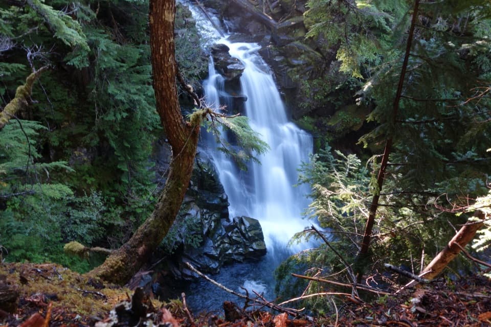 ModerateCarter and Madcap Falls Trail3 mi · 2.5 hr · 1.1 mi awayTwo waterfalls and old-growth forest beyond the Nisqually log bridge.
 EasyNisqually Vista Trail1.2 mi · 45 min · 1.8 mi awayShort paved loop, big glacier views, and a few rolling climbs.
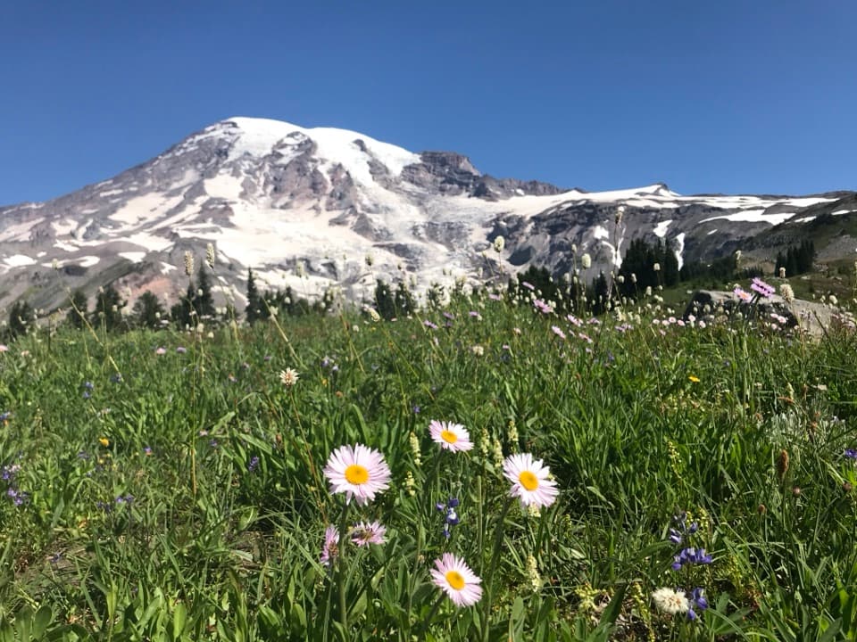 ModerateDeadhorse Creek and Moraine Trail2.5 mi · 2 hr · 1.8 mi awayWildflowers frame Rainier above the Nisqually Glacier.
 ModerateGlacier Vista Trail3.1 mi · 2.8 hr · 1.8 mi awayGet a clear look at the glacier’s icefall, crevasses and headwaters.
 ModerateParadise Glacier Trail5.1 mi · 3.5 hr · 2.1 mi awayFollow Skyline over flower meadows and steps to a glacier basin.
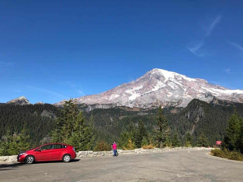 Sight · 0.8 mi awayRicksecker PointA one-third-mile loop pairs Rainier views with glacial geology.
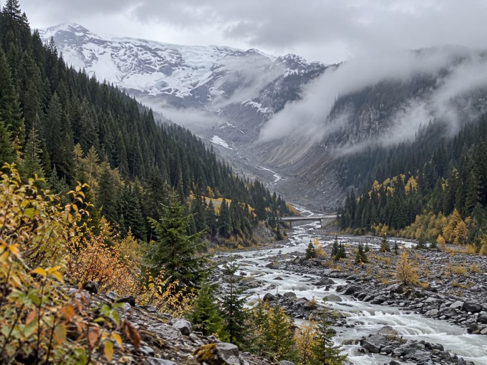 Sight · 0.8 mi awayGlacier BridgeA quick pause above the Nisqually River and its glacier-carved valley.
 Sight · 0.8 mi awayVan Trump FallsThree tiers and a footbridge break up the climb toward Comet Falls.
 Picnic area · 0.9 mi awayCougar Rock Picnic AreaA handy forest picnic stop, with grills and more than 30 tables.Sight · 1.1 mi awayComet FallsA waterfall over 300 feet high rewards the steep creekside climb.
 Campground · 1.1 mi awayCougar Rock CampgroundA forested base with the Wonderland Trail across the road.Sight · 1.2 mi awayCarter FallsCross a log bridge for Rainier views before the forest waterfall
 Sight · 1.3 mi awayMadcap FallsA 34-foot cascade on a short spur beyond Carter Falls.
Parkwolf’s Mount Rainier ranking

The audio tour guide for the drive, plus offline maps, trails, and wildlife heatmaps for when the signal drops.


