Parking
Use the roadside Carter Falls Trailhead pullout across from Cougar Rock Campground; it fits about 6 to 8 cars. If full, park at the Cougar Rock Picnic Area 0.1 mile uphill (about 50 spaces). Do not use campground spaces unless camping.
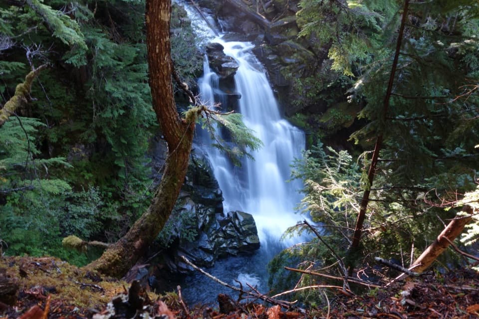
Mount Rainier National Park, WA
Two waterfalls and old-growth forest beyond the Nisqually log bridge.
Overview
Carter and Madcap Falls Trail is an out-and-back on the Wonderland Trail, about 3 miles round trip to both falls. Published estimates vary, so plan for the longer route. You cross the Nisqually gorge, then climb beside Paradise River through old-growth forest. Allow two to three hours and about 650 feet of climbing; the trail gets steeper near Carter Falls.
 Parkwolf’s verdictIs this the falls walk for you?
Map & elevation
Plan your hike

The highest, rockiest slopes around here are a summer buffet for grizzly bears.
Mount Rainier Tour Guide
Parkwolf is a GPS audio tour guide for Mount Rainier National Park. As you drive, it chimes in with what’s ahead: hidden gems, upcoming stops, history, geology, and wildlife, right through your car’s speakers.
See the Mount Rainier audio tourRecorded for this trailhead
Cougar Rock: A Picnic or a Waterfall Walk“You're coming up on the Cougar Rock area, with a campground and a separate day-use picnic area beside the Nisqually River.”
Plays as you drive up to this trailhead in the Parkwolf Mount Rainier Tour Guide.
More stories near here in the app
“Fantastic app with many points of information… It’s great to just turn on while you’re driving and it gives you an audio tour of the national Park. We love it!!!!”


Trail guide
From the pullout, follow the Wonderland Trail east and drop into the gorge to a log footbridge. This is the first payoff: Mount Rainier rises above the wide, rocky riverbed. The bridge has a substantial step, and the braided channels beyond it may call for a few rock hops. Fall and winter storms often wash the footbridge out, so check its status before crossing. If it is out, stay on the trailhead side; the riverbed still has the mountain view, but the falls are across the river.
Past the crossing, the path climbs through old Douglas-fir, western hemlock, and red cedar. It follows the Paradise River, with breaks in the canopy toward Eagle Peak. Around 0.7 mile from the trailhead, look for a large glacial boulder sitting in a stream. Huckleberries, sword ferns, vine maple, and Oregon-grape fill the understory. Trillium and wood violet bloom earlier in the season; pearly everlasting and foamflower show later.
Carter Falls comes first, a roughly 50-foot horsetail cascade. Continue along the Wonderland Trail to Madcap Falls, a shorter cascade about 34 feet high, then turn back. The trail keeps going toward Narada Falls and Paradise, so don't follow it onward unless you mean to make this a much longer hike. At Carter, keep some of the dark rock and forest around the white water in your photo; a tight crop hides the shape of the drop.
The roadside pullout across from Cougar Rock Campground holds about 6 to 8 cars. If it is full, use the Cougar Rock Picnic Area lot about 0.1 mile uphill; there is a privy there. Don't park in campground spaces unless you're camping. Pets aren't allowed on park trails or along the Nisqually River.
Wildlife
 466 sightingsMountain GoatMost seen around 6 AMSighting map
 383 sightingsBlack BearMost seen around 7 PMSighting map
 10 sightingsWolverineMost seen around 6 AMSighting map
 58 sightingsElkMost seen around 6 AMSighting map
 574 sightingsMule DeerMost seen around 6 AMSighting map
 1,853 sightingsHoary MarmotMost seen around 6 AMSighting map
Sighting maps show where each species has been reported across Mount Rainier. Wildlife moves, so no sighting is guaranteed.
Keep exploring
 ChallengingComet Falls and Van Trump Park Trail5.8 mi · 4.5 hr · 0.9 mi awayWaterfall spray gives way to open meadows and big Rainier views.
 ChallengingComet Falls Trail3.8 mi · 3.5 hr · 0.9 mi awayA steep creekside climb to one of Rainier’s tallest waterfalls.
 ChallengingMildred Point Trail6.6 mi · 5.5 hr · 0.9 mi awayTwo waterfalls first, then a steep climb to the Kautz valley.
 ChallengingWonderland Trail93 mi · 3.3 days · 1.5 mi awayA strenuous 93-mile circuit around Mount Rainier.
 ChallengingIndian Henry's Hunting Ground via Longmire13 mi · 8 hr · 1.5 mi awayA long climb to historic meadows and Mount Rainier views.
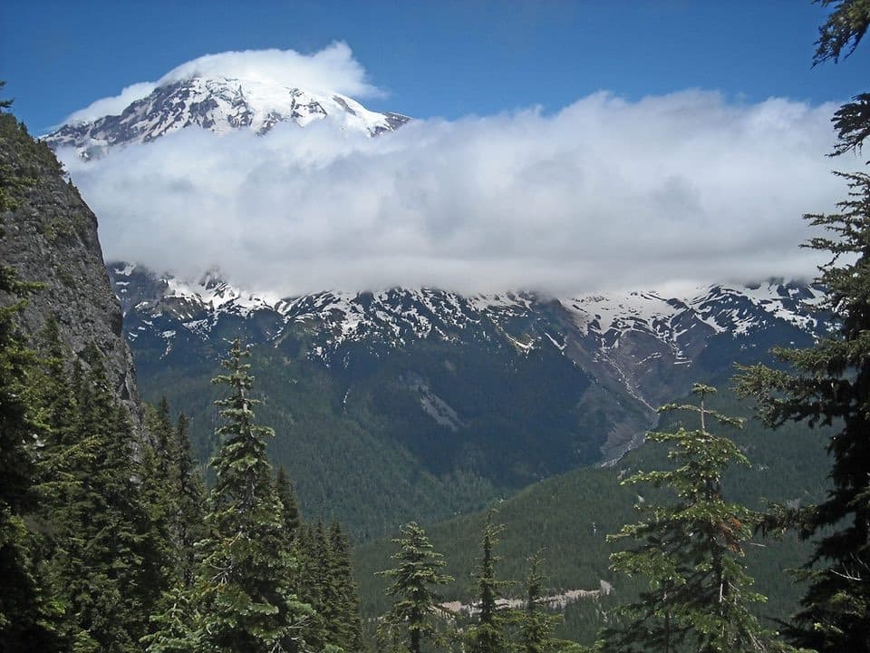 ChallengingEagle Peak Trail7.2 mi · 5 hr · 1.5 mi awayA steep forest climb earns a flowered saddle and Rainier views.
 EasyTrail of the Shadows0.7 mi · 30 min · 1.6 mi awayA short loop through Longmire’s springs and resort history
 ModerateRampart Ridge Trail4.6 mi · 2.5 hr · 1.6 mi awayA steep forest climb to a Rainier and glacier view.
 Campground · 0.1 mi awayCougar Rock CampgroundA forested base with the Wonderland Trail across the road.
 Picnic area · 0.2 mi awayCougar Rock Picnic AreaA handy forest picnic stop, with grills and more than 30 tables.
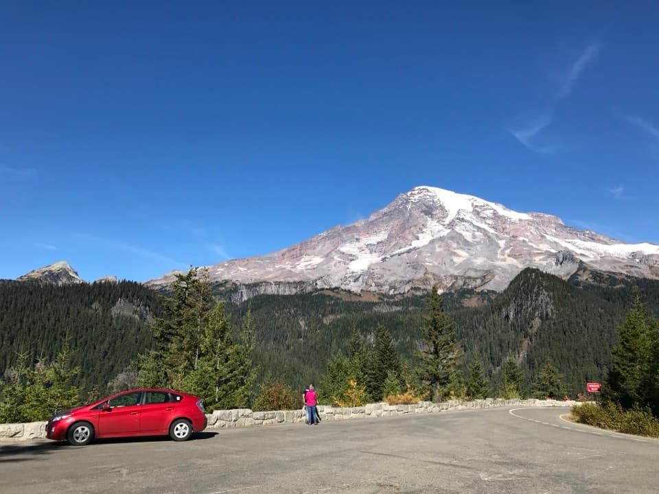 Sight · 0.5 mi awayRicksecker PointA one-third-mile loop pairs Rainier views with glacial geology.Sight · 1 mi awayCarter FallsCross a log bridge for Rainier views before the forest waterfall
 Sight · 1.1 mi awayChristine FallsThe stone arch frames the lower falls from a short downhill path.
 Sight · 1.3 mi awayMadcap FallsA 34-foot cascade on a short spur beyond Carter Falls.
 Sight · 1.4 mi awayElcaine Longmire CabinA small 1888 cabin from Longmire’s early settlement.
 Sight · 1.5 mi awayNisqually Suspension BridgeA historic timber bridge over the Nisqually, with Rainier in view.
Parkwolf’s Mount Rainier ranking
The audio tour guide for the drive, plus offline maps, trails, and wildlife heatmaps for when the signal drops.




