Parking
Start at Comet Falls Trailhead, about four miles east of Longmire on Paradise Road. Parking is limited and often full, with no additional parking nearby; have a backup hike in mind.

Mount Rainier National Park, WA
Waterfall spray gives way to open meadows and big Rainier views.
Overview
Map & elevation
Plan your hike

The highest, rockiest slopes around here are a summer buffet for grizzly bears.
Mount Rainier Tour Guide
Parkwolf is a GPS audio tour guide for Mount Rainier National Park. As you drive, it chimes in with what’s ahead: hidden gems, upcoming stops, history, geology, and wildlife, right through your car’s speakers.
See the Mount Rainier audio tourRecorded for this trailhead
Comet Falls: A Steep Waterfall Hike“Comet Falls trailhead is coming up, the start of a steep hike to a waterfall more than three hundred feet high.”
Plays as you drive up to this trailhead in the Parkwolf Mount Rainier Tour Guide.
More stories near here in the app
“Fantastic app with many points of information… It’s great to just turn on while you’re driving and it gives you an audio tour of the national Park. We love it!!!!”


Trail guide
Comet Falls and Van Trump Park Trail is the longer out-and-back from Comet Falls trailhead: 5.8 miles round trip, about 2,000 feet of climbing, and four to five hours. It pairs a 320-foot waterfall with the harder climb into open subalpine meadows. I’d choose it if you want both the falls and the high-country views; if you only want the waterfall, the shorter version turns around there.
The route follows Van Trump Creek through steep forest, with smaller falls and avalanche chutes along the way. Comet Falls drops into a narrow canyon about 1.8 miles from the trailhead. From there, steep switchbacks climb to a junction; take the right branch for Van Trump Park. The waterfall is a natural turnaround, but the meadow is the payoff for the longer hike.
The open slopes look north toward Mount Rainier and the Kautz and Van Trump glaciers, then south toward Mount Adams and Mount St. Helens. Watch the rocky slopes for marmots, pikas and mountain goats. Wildflowers may brighten the meadow in season, but stay on the tread: these are fragile high-country plants.
The park describes maintained tread for about half a mile beyond the junction, while the mapped named path ends sooner, around a quarter-mile past it. The listed 5.8-mile total and the park’s rounded segment distances also differ slightly. The route here follows the connected named trail to its mapped end; treat the last meadow stretch and exact turnaround as approximate, and don’t continue on an informal path.
This is a hard climb, especially after the falls. The park describes it as a summer hike for people in good condition and warns that steep early-season snow can make it a poor choice. Check current trail conditions before heading out. Pets are prohibited on park trails.
Van Trump Park is named for Philemon B. Van Trump, who joined Hazard Stevens on the 1870 ascent that became the first recorded successful climb of Mount Rainier by non-Native climbers. Indigenous people had traveled through this mountain landscape long before that recorded expedition.
Wildlife
 466 sightingsMountain GoatMost seen around 6 AMSighting map
 383 sightingsBlack BearMost seen around 7 PMSighting map
 10 sightingsWolverineMost seen around 6 AMSighting map
 58 sightingsElkMost seen around 6 AMSighting map
 574 sightingsMule DeerMost seen around 6 AMSighting map
 1,853 sightingsHoary MarmotMost seen around 6 AMSighting map
Sighting maps show where each species has been reported across Mount Rainier. Wildlife moves, so no sighting is guaranteed.
Keep exploring
 ChallengingComet Falls Trail3.8 mi · 3.5 hr · 0.1 mi awayA steep creekside climb to one of Rainier’s tallest waterfalls.
 ChallengingMildred Point Trail6.6 mi · 5.5 hr · 0.1 mi awayTwo waterfalls first, then a steep climb to the Kautz valley.
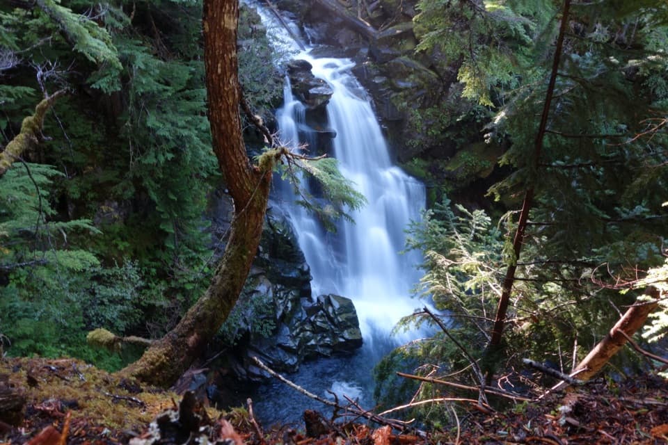 ModerateCarter and Madcap Falls Trail3 mi · 2.5 hr · 0.9 mi awayTwo waterfalls and old-growth forest beyond the Nisqually log bridge.
 EasyNisqually Vista Trail1.2 mi · 45 min · 2 mi awayShort paved loop, big glacier views, and a few rolling climbs.
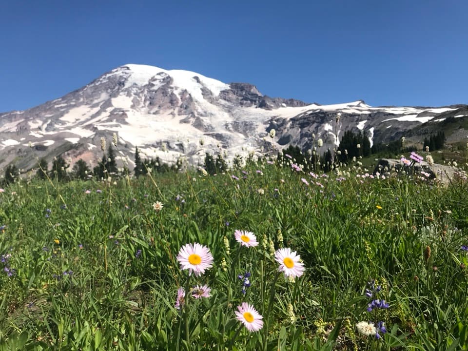 ModerateDeadhorse Creek and Moraine Trail2.5 mi · 2 hr · 2 mi awayWildflowers frame Rainier above the Nisqually Glacier.
 ModerateGlacier Vista Trail3.1 mi · 2.8 hr · 2 mi awayGet a clear look at the glacier’s icefall, crevasses and headwaters.
 ModerateParadise Glacier Trail5.1 mi · 3.5 hr · 2.3 mi awayFollow Skyline over flower meadows and steps to a glacier basin.
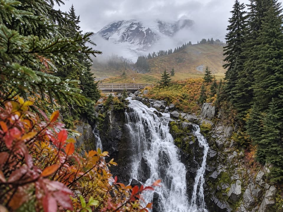 ModerateLakes Trail Loop via Mazama Ridge5.3 mi · 4 hr · 2.3 mi awayLink Reflection Lakes, Faraway Rock, Mazama Ridge, and Myrtle Falls.
 Sight · 0.2 mi awayChristine FallsThe stone arch frames the lower falls from a short downhill path.
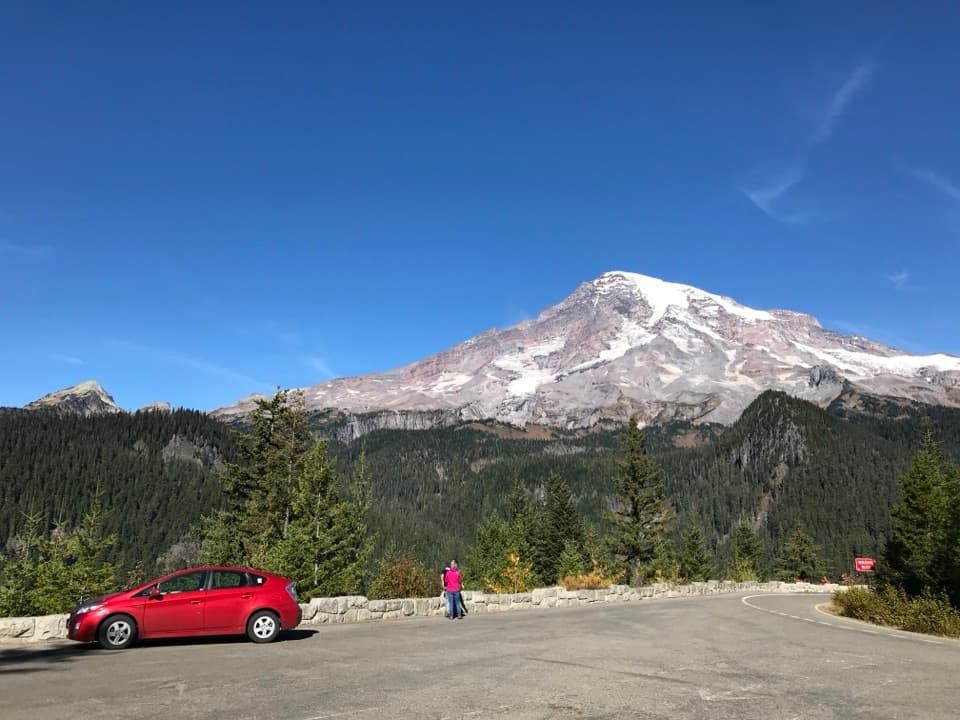 Sight · 0.6 mi awayRicksecker PointA one-third-mile loop pairs Rainier views with glacial geology.
 Picnic area · 0.7 mi awayCougar Rock Picnic AreaA handy forest picnic stop, with grills and more than 30 tables.
 Campground · 0.9 mi awayCougar Rock CampgroundA forested base with the Wonderland Trail across the road.
 Sight · 1 mi awayVan Trump FallsThree tiers and a footbridge break up the climb toward Comet Falls.
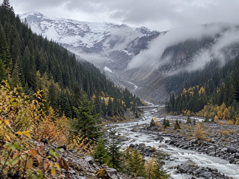 Sight · 1 mi awayGlacier BridgeA quick pause above the Nisqually River and its glacier-carved valley.Sight · 1.2 mi awayCarter FallsCross a log bridge for Rainier views before the forest waterfallSight · 1.2 mi awayComet FallsA waterfall over 300 feet high rewards the steep creekside climb.
Parkwolf’s Mount Rainier ranking

The audio tour guide for the drive, plus offline maps, trails, and wildlife heatmaps for when the signal drops.




