Parking
Park in the Longmire visitor area near the National Park Inn and museum. Cross Longmire Road to the Trail of the Shadows; the Rampart Ridge loop starts at its west end. Restrooms are in the Longmire area.

Mount Rainier National Park, WA
A steep forest climb to a Rainier and glacier view.
Overview
Rampart Ridge Trail is a 4.6-mile loop from Longmire: follow the Trail of the Shadows to the junction, climb Rampart Ridge, then return on the Wonderland Trail. Plan on about 2.5 hours and roughly 1,340 feet of climbing. The park calls it moderate; the sustained uphill makes this a real workout, especially if you are expecting a short Longmire stroll. Go clockwise, as the park recommends, so Mount Rainier stays ahead of you for more of the walk. At the Trail of the Shadows junction, take the marked Rampart Ridge branch rather than doing the separate interpretive loop.
 Parkwolf’s verdictThe loop and who it suits
Map & elevation
Plan your hike

The highest, rockiest slopes around here are a summer buffet for grizzly bears.
Mount Rainier Tour Guide
Parkwolf is a GPS audio tour guide for Mount Rainier National Park. As you drive, it chimes in with what’s ahead: hidden gems, upcoming stops, history, geology, and wildlife, right through your car’s speakers.
See the Mount Rainier audio tourRecorded for this trailhead
Longmire: A Museum, Mineral Springs and a Meal“You're nearing Longmire, the historic village that became park headquarters in eighteen ninety-nine.”
Plays as you drive up to this trailhead in the Parkwolf Mount Rainier Tour Guide.
More stories near here in the app
“Fantastic app with many points of information… It’s great to just turn on while you’re driving and it gives you an audio tour of the national Park. We love it!!!!”


Trail guide
The opening connector passes large trees and damp meadow ground, where skunk cabbage and horsetails grow. Then the route climbs steadily on switchbacks through old-growth forest. A curved tree arch makes a memorable landmark on the way up; look for mosses and lichens on the trunks, and keep an eye out for woodpeckers, grouse or deer without expecting a sighting. The climb is the main effort of the loop.
A signed 200-foot spur looks down over Longmire's buildings. Continue to the ridge crest for the broadest payoff: on a clear day, Mount Rainier and the Kautz Glacier rise above the forest, with views into the Nisqually River Valley. The route follows the ridge for about 1.3 miles, with several places to stop and look. This is the hike's signature view; cloud can hide the mountain, so the forest walk still needs to be worth your time on a gray day.
Near mile 2.9, turn east onto the Wonderland Trail for the return to Longmire. The ridge traverse eases before the route descends more steeply. Follow the Longmire direction at the junction, then use the short mapped paths through the visitor area to close the loop at the Trail of the Shadows start.
Rampart Ridge is the remnant of an ancient lava flow that began at Mount Rainier's summit. That long, forested spine is why this walk gives you two very different views: down over the historic Longmire complex and outward toward the volcano and its glaciers.
Wildlife
 466 sightingsMountain GoatMost seen around 6 AMSighting map
 383 sightingsBlack BearMost seen around 7 PMSighting map
 10 sightingsWolverineMost seen around 6 AMSighting map
 58 sightingsElkMost seen around 6 AMSighting map
 574 sightingsMule DeerMost seen around 6 AMSighting map
 1,853 sightingsHoary MarmotMost seen around 6 AMSighting map
Sighting maps show where each species has been reported across Mount Rainier. Wildlife moves, so no sighting is guaranteed.
Keep exploring
 EasyTrail of the Shadows0.7 mi · 30 min · At the trailheadA short loop through Longmire’s springs and resort history
 ChallengingWonderland Trail93 mi · 3.3 days · 0.1 mi awayA strenuous 93-mile circuit around Mount Rainier.
 ChallengingIndian Henry's Hunting Ground via Longmire13 mi · 8 hr · 0.1 mi awayA long climb to historic meadows and Mount Rainier views.
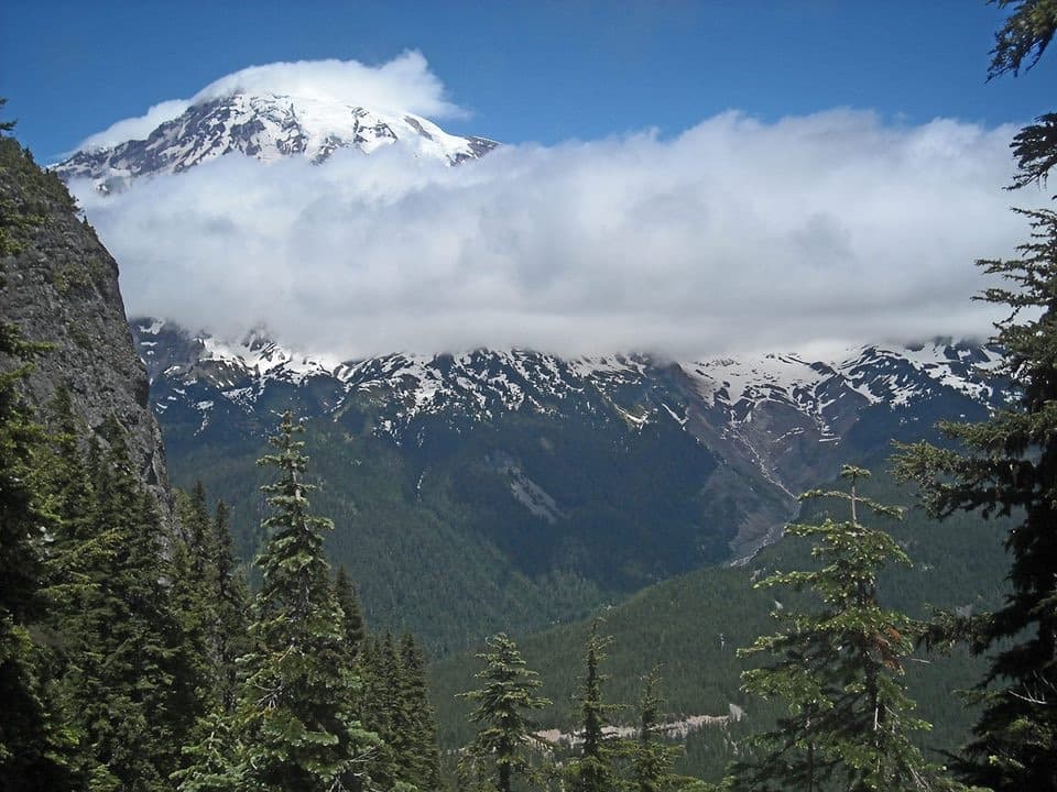 ChallengingEagle Peak Trail7.2 mi · 5 hr · 0.3 mi awayA steep forest climb earns a flowered saddle and Rainier views.
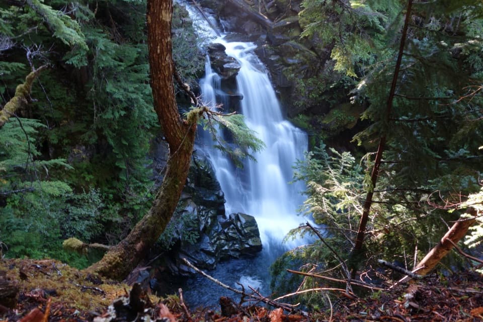 ModerateCarter and Madcap Falls Trail3 mi · 2.5 hr · 1.6 mi awayTwo waterfalls and old-growth forest beyond the Nisqually log bridge.
 EasyTwin Firs Loop Trail0.4 mi · 20 min · 1.6 mi awayA short loop among Douglas-firs, cedars, and hemlocks.
 ChallengingIndian Henry's Hunting Ground via Kautz Creek Trail11.5 mi · 7 hr · 2.2 mi awayA steep climb to a historic cabin in Rainier's wildflower meadows.
 ChallengingMirror Lakes Trail13.4 mi · 8.5 hr · 2.2 mi awayA signed lake spur waits beyond a steep climb into open meadows.
 Store · At the trailheadLongmire General StoreA 1911 log shop for snacks and trail supplies.
 Lodging · At the trailheadNational Park InnYear-round historic lodging in Longmire with a porch view of Rainier.
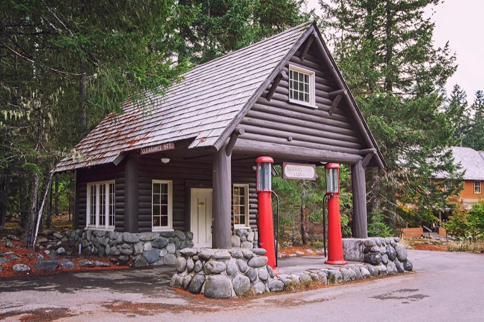 Sight · At the trailheadLongmire Service StationA 1929 roadside station turned into a park travel-history exhibit.
 Sight · At the trailheadLongmire Mineral SpringsRead the landscape through bubbles, mineral stains and a resort past.Sight · At the trailheadLongmire Transportation ExhibitRoad history told inside a landmark gas station
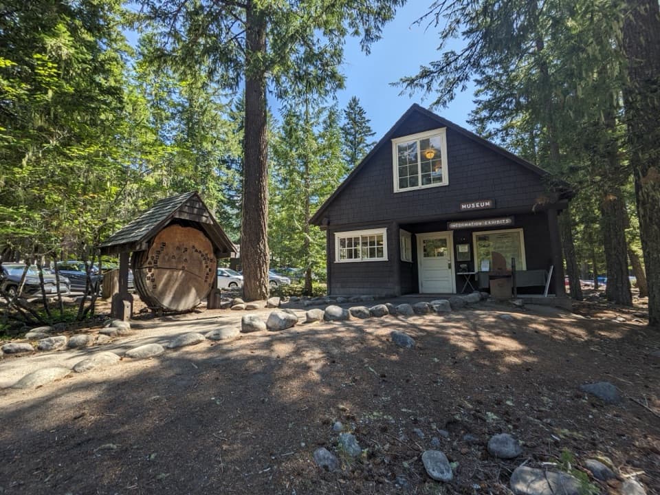 Sight · 0.1 mi awayLongmire MuseumOne historic room, a mountain lion, and the park’s early story
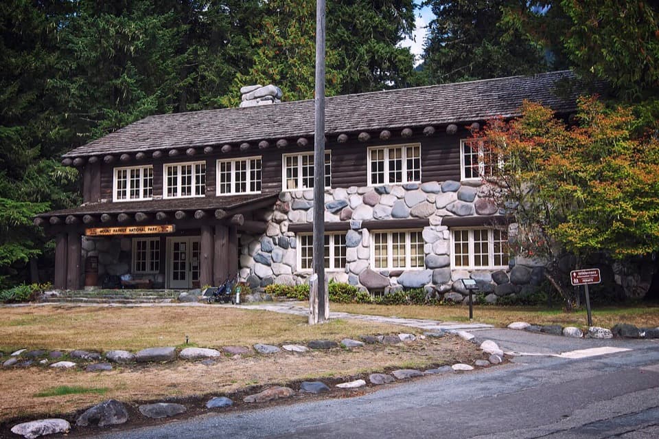 Visitor center · 0.1 mi awayLongmire Wilderness Information CenterPermits and ranger advice in Longmire’s historic log-and-stone building.
 Sight · 0.2 mi awayElcaine Longmire CabinA small 1888 cabin from Longmire’s early settlement.
Parkwolf’s Mount Rainier ranking
The audio tour guide for the drive, plus offline maps, trails, and wildlife heatmaps for when the signal drops.




