Nisqually Suspension Bridge in Mount Rainier National Park

Sight · Mount Rainier National Park

Nisqually Suspension Bridge

A historic timber bridge over the Nisqually, with Rainier in view.

Photo: National Park Service
Type
Sight
Nearest trail
0.1 mi
Audio stories
6 nearby
  • Scenic viewpoint

Hear the audio tour

Longmire: A Museum, Mineral Springs and a Meal

Overview

About Nisqually Suspension Bridge

Why stop

  • Historic timber span with Nisqually River and Mount Rainier views.

Heads up

  • No parking at the bridge; the short approach shares a road with cars.

Map

Where it is

Loading the Mount Rainier map
Full map
SightNisqually Suspension Bridge46.74898, -121.80774
Keep this map with you offline in the Parkwolf app

Plan your stop

Before you go

7 active Mount Rainier alerts

  • ClosureWildfire closures in the northern parkGrand Park 2 and Wonderland Complex fire closures affect trails, backcountry camps, and Sunrise access; stay out of closed areas.Official details
  • ClosureSR 165 bridge closed: no public access to Carbon River or Mowich LakeThe SR 165 Carbon River/Fairfax Bridge is closed to vehicles, bicycles, and pedestrians; there is no public access or alternate route to Carbon River or Mowich Lake.Official details

See all 7 alerts
A park ranger sits on a dash-mounted phone, talking, as Parkwolf’s Tour Guide plays “Army Cutworm Moths: A Grizzly Bear Buffet” on Grand Loop Road below Dunraven Pass in Yellowstone
Parkwolf Tour GuideThe highest, rockiest slopes around here are a summer buffet for grizzly bears.

Mount Rainier Tour Guide

Your drive to Nisqually Suspension Bridge, narrated.

Parkwolf is a GPS audio tour guide for Mount Rainier National Park. As you drive, it chimes in with what’s ahead: hidden gems, upcoming stops, history, geology, and wildlife, right through your car’s speakers.

See the Mount Rainier audio tour

Recorded for this place

Longmire: A Museum, Mineral Springs and a Meal
0:00 / 0:39
“You're nearing Longmire, the historic village that became park headquarters in eighteen ninety-nine.”

Plays as you drive up to Nisqually Suspension Bridge in the Parkwolf Mount Rainier Tour Guide.

More stories near here in the app

  • Fay Fuller’s Mountain Murmurs
  • Why Iron Mike Runs Rusty
  • Cougar Rock: A Picnic or a Waterfall Walk
  • Twin Firs: A Short Walk Among Old Trees
  • 77 audio storiesacross Mount Rainier’s roads, triggered by GPS as you drive
  • Wildlife heatmapsfor Mountain Goat, Black Bear, Wolverine, and 13 more
  • Works offlinemaps, 99 trails, 87 places, and audio download before you lose signal
  • CarPlay readysimple controls built for the drive
★★★★★
“Fantastic app with many points of information… It’s great to just turn on while you’re driving and it gives you an audio tour of the national Park. We love it!!!!”
JMJamesApp Store review
Download Parkwolf on the App StoreGet Parkwolf on Google Play

4.7 from 8,600+ ratings

Guide

More about Nisqually Suspension Bridge

A short stop in LongmireNisqually Suspension Bridge is a timber-and-steel suspension bridge over the Nisqually River in…

Nisqually Suspension Bridge is a timber-and-steel suspension bridge over the Nisqually River in the Longmire Historic District. Walk across to see its braced wooden towers and cables, the river below, and Mount Rainier in the view. If you are already at Longmire, it is an easy extra stop for the bridge's engineering and setting.

Park in Longmire and walkThere is no parking at the bridge.

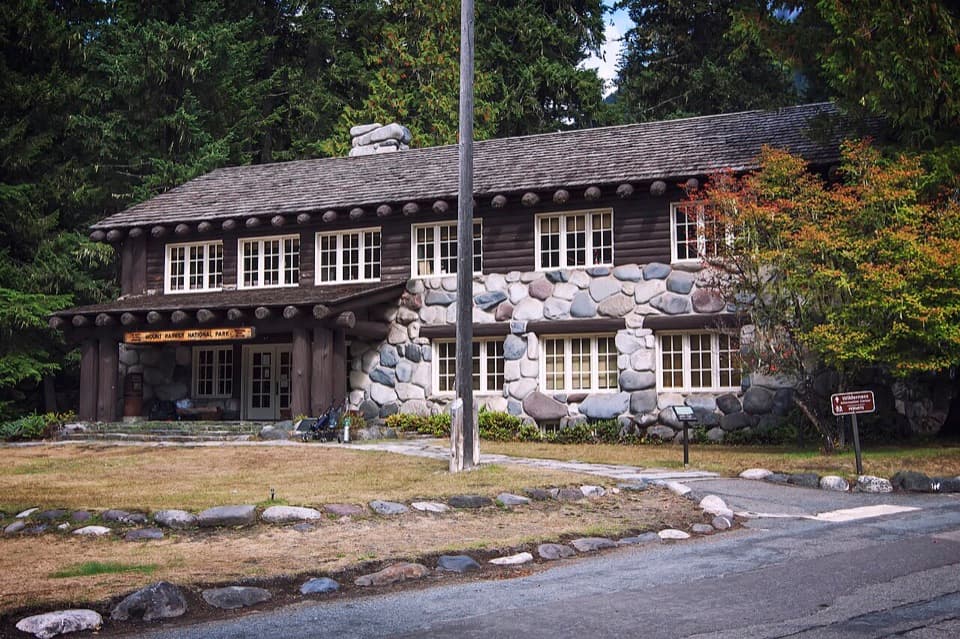
There is no parking at the bridge. Use the main Longmire parking area and walk from the Administration Building; the bridge is less than a quarter mile beyond it. The approach follows a road shared with vehicles, with an S-bend and slight incline, so stay alert as you walk. Passenger vehicles can cross, but the maximum weight is 3 tons (6,000 pounds); RVs, trucks, and vehicles towing campers must not cross. Check current park direction before driving over.

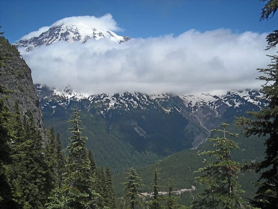
Frame the bridge, not just the riverThe span gives you views of the Nisqually River and Mount Rainier.

The span gives you views of the Nisqually River and Mount Rainier. For a phone photo, keep part of the timber structure in the frame above the rocky river channel; the bridge is what makes this view different from a general Longmire landscape.

Built for the motor ageA light pedestrian suspension bridge stood here by 1911.

A light pedestrian suspension bridge stood here by 1911. As automobile travel grew, the park planned a stronger crossing to reach a campground on the river's south bank. Construction finished in 1924, and the bridge opened to the public in August 1925. Portland contractor Monson-Trierweiler Co. was the sole bidder, and the design used large locally sourced logs as suspension supports.

Timber saved in the rebuildIn 1952, crews replaced the original log supports with dimensional-timber towers to handle…

In 1952, crews replaced the original log supports with dimensional-timber towers to handle heavier vehicles and updated safety standards. They saved and reused most of the earlier bridge's timber and hardware, while adding a lower safety railing. The bridge was reconstructed again in 2005 in keeping with its established materials and workmanship. Longmire itself grew from James Longmire's homestead, lodging, and mineral-springs resort into the park headquarters in 1899.

Useful stops nearbyThe nearest documented public restrooms are in Longmire, including a small restroom building…

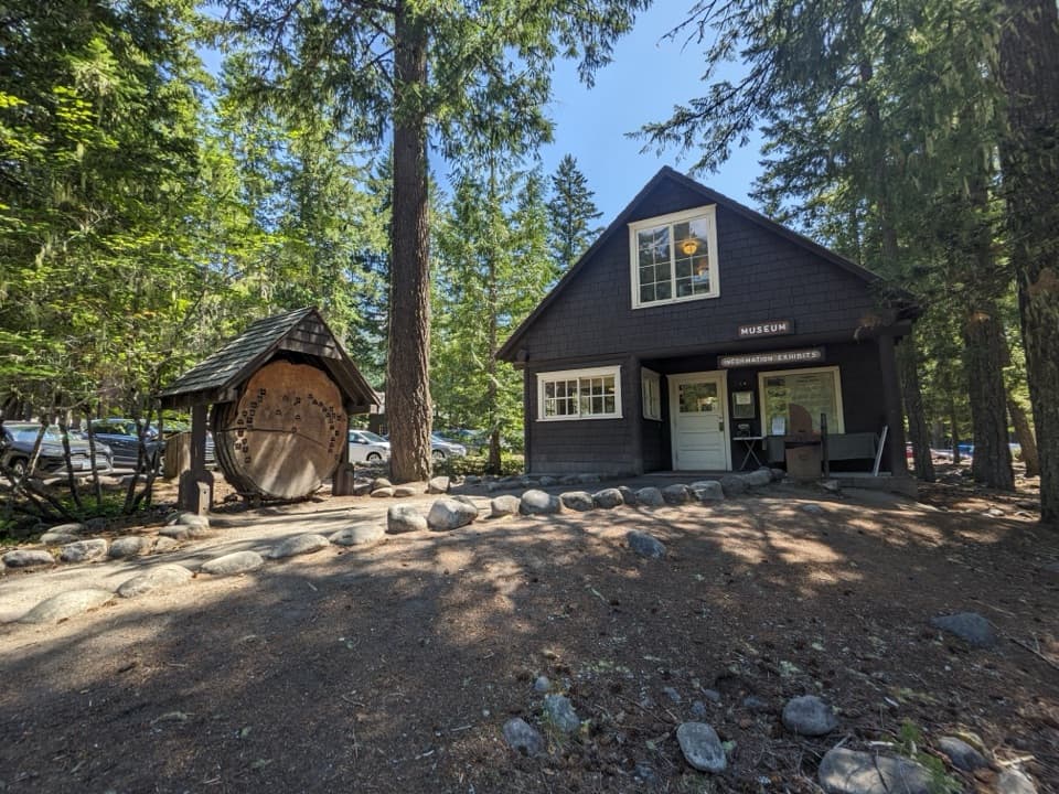
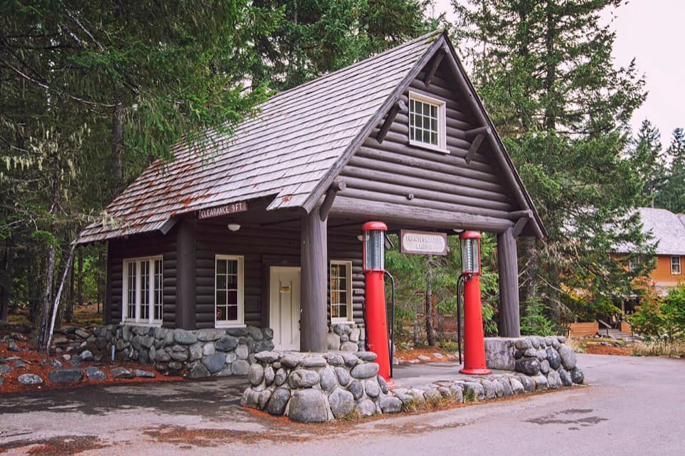
The nearest documented public restrooms are in Longmire, including a small restroom building between the museum and historic gas station. The National Park Inn has additional restrooms and a water-refill station in its basement, along with a separate restaurant and gift shop.

Wildlife

Wildlife in Mount Rainier

All Mount Rainier wildlife maps

Sighting maps show where each species has been reported across Mount Rainier. Wildlife moves, so no sighting is guaranteed.

Keep exploring

Near Nisqually Suspension Bridge

See it all on the map

Trails nearby

More stops nearby

Parkwolf’s Mount Rainier ranking

Top sights in Mount Rainier

All 87 places
  1. 1Reflection LakesSight
  2. 2Myrtle FallsSight
  3. 3Panorama PointSight
  4. 4Narada FallsSight
  5. 5Tipsoo LakeSight
  6. 6Sunrise Point OverlookSight

Take Parkwolf to Mount Rainier.

The audio tour guide for the drive, plus offline maps, trails, and wildlife heatmaps for when the signal drops.

4.7 from 8,600+ ratings

Download Parkwolf on the App StoreGet Parkwolf on Google Play