Parking
Park at Kautz Creek Picnic Area, about three miles beyond the Nisqually Entrance on Paradise Road; the trailhead is across the road. The lot has a vault toilet and picnic tables.

Mount Rainier National Park, WA
A signed lake spur waits beyond a steep climb into open meadows.
Overview
Map & elevation
Plan your hike

The highest, rockiest slopes around here are a summer buffet for grizzly bears.
Mount Rainier Tour Guide
Parkwolf is a GPS audio tour guide for Mount Rainier National Park. As you drive, it chimes in with what’s ahead: hidden gems, upcoming stops, history, geology, and wildlife, right through your car’s speakers.
See the Mount Rainier audio tourRecorded for this trailhead
Kautz Creek: A Short Walk Through a Flood-Shaped Valley“Kautz Creek is ahead, a quick stop where you can see how violently water has reshaped this valley.”
Plays as you drive up to this trailhead in the Parkwolf Mount Rainier Tour Guide.
More stories near here in the app
“Fantastic app with many points of information… It’s great to just turn on while you’re driving and it gives you an audio tour of the national Park. We love it!!!!”


Trail guide
Mirror Lakes is a strenuous out-and-back from Kautz Creek Picnic Area, climbing through forest and open meadows to a signed spur beside Indian Henry’s Hunting Ground. The full outing is roughly 13 to 14 miles round trip with about 3,800 feet of climbing; the mapped trail corridor is shorter, so mileage totals vary. Allow eight to ten hours and start with enough daylight. The Kautz Creek approach is steep and rough in places. Dogs are not allowed on Mount Rainier trails.
The trail follows Kautz Creek for about a mile, crosses it on a log bridge and enters old-growth forest. After another half mile it begins a sustained climb on switchbacks. The path is narrower and less built up than the Wonderland Trail, and the grade stays demanding through the woods. It eventually emerges along Mount Ararat’s south flank, crosses open meadows, climbs a final ridge and descends to the patrol cabin. On clear stretches, the trees give way to broad views of the surrounding peaks.
At Indian Henry’s, follow the Wonderland Trail north from the cabin to the signed Mirror Lakes junction, then turn east. The sign sits low and is easy to walk past. The lakes spur is short compared with the approach, with a brief boggy stretch and a meadow edge before the water. Stop at the lakes; a faint bootpath continues toward Pyramid Peak, but that rough continuation is a different hike and is not part of this route.
The destination is a small tarn beneath Rainier’s west-facing slopes. When the water is still and the mountain is visible, look across the lake for its reflection, with the grassy shore in the foreground. Paintbrush and valerian grow along the water’s edge. Treat stream water before drinking. A Longmire approach is also possible, but it is a different, longer approach and is not included in this route’s trailhead or distance.
Wildlife
 466 sightingsMountain GoatMost seen around 6 AMSighting map
 383 sightingsBlack BearMost seen around 7 PMSighting map
 10 sightingsWolverineMost seen around 6 AMSighting map
 58 sightingsElkMost seen around 6 AMSighting map
 574 sightingsMule DeerMost seen around 6 AMSighting map
 1,853 sightingsHoary MarmotMost seen around 6 AMSighting map
Sighting maps show where each species has been reported across Mount Rainier. Wildlife moves, so no sighting is guaranteed.
Keep exploring
 ChallengingIndian Henry's Hunting Ground via Kautz Creek Trail11.5 mi · 7 hr · At the trailheadA steep climb to a historic cabin in Rainier's wildflower meadows.
 EasyKautz Creek Nature Trail0.2 mi · 18 min · At the trailheadA short boardwalk turns a mudflow scar into a forest story.
 EasyTwin Firs Loop Trail0.4 mi · 20 min · 0.9 mi awayA short loop among Douglas-firs, cedars, and hemlocks.
 ModerateRampart Ridge Trail4.6 mi · 2.5 hr · 2.2 mi awayA steep forest climb to a Rainier and glacier view.
 EasyTrail of the Shadows0.7 mi · 30 min · 2.2 mi awayA short loop through Longmire’s springs and resort history
 ChallengingWonderland Trail93 mi · 3.3 days · 2.3 mi awayA strenuous 93-mile circuit around Mount Rainier.
 ChallengingIndian Henry's Hunting Ground via Longmire13 mi · 8 hr · 2.3 mi awayA long climb to historic meadows and Mount Rainier views.
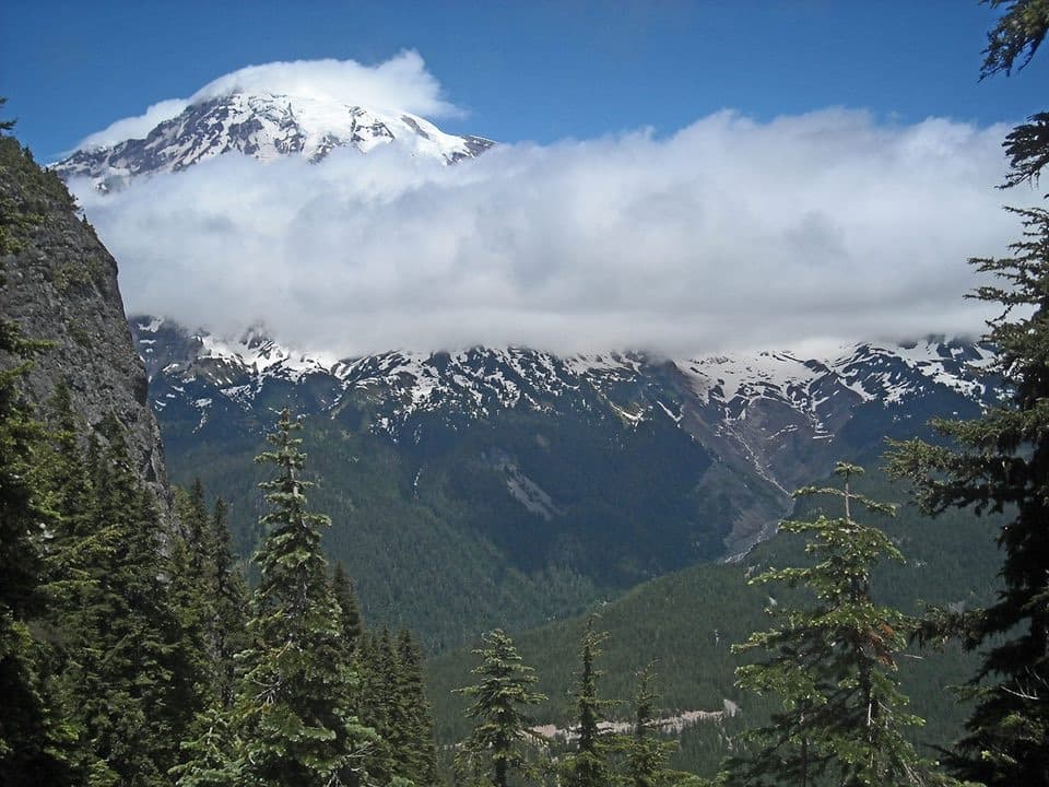 ChallengingEagle Peak Trail7.2 mi · 5 hr · 2.4 mi awayA steep forest climb earns a flowered saddle and Rainier views.
 Sight · At the trailheadKautz CreekA short boardwalk to a mountain overlook and a glacier flood story.
 Store · 2.2 mi awayLongmire General StoreA 1911 log shop for snacks and trail supplies.
 Lodging · 2.2 mi awayNational Park InnYear-round historic lodging in Longmire with a porch view of Rainier.
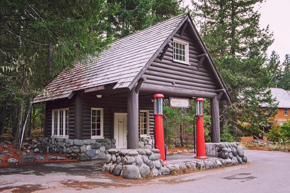 Sight · 2.2 mi awayLongmire Service StationA 1929 roadside station turned into a park travel-history exhibit.
 Sight · 2.2 mi awayLongmire Mineral SpringsRead the landscape through bubbles, mineral stains and a resort past.Sight · 2.2 mi awayLongmire Transportation ExhibitRoad history told inside a landmark gas station
 Sight · 2.2 mi awayValor MemorialEight basalt columns honor four people who died while helping others.
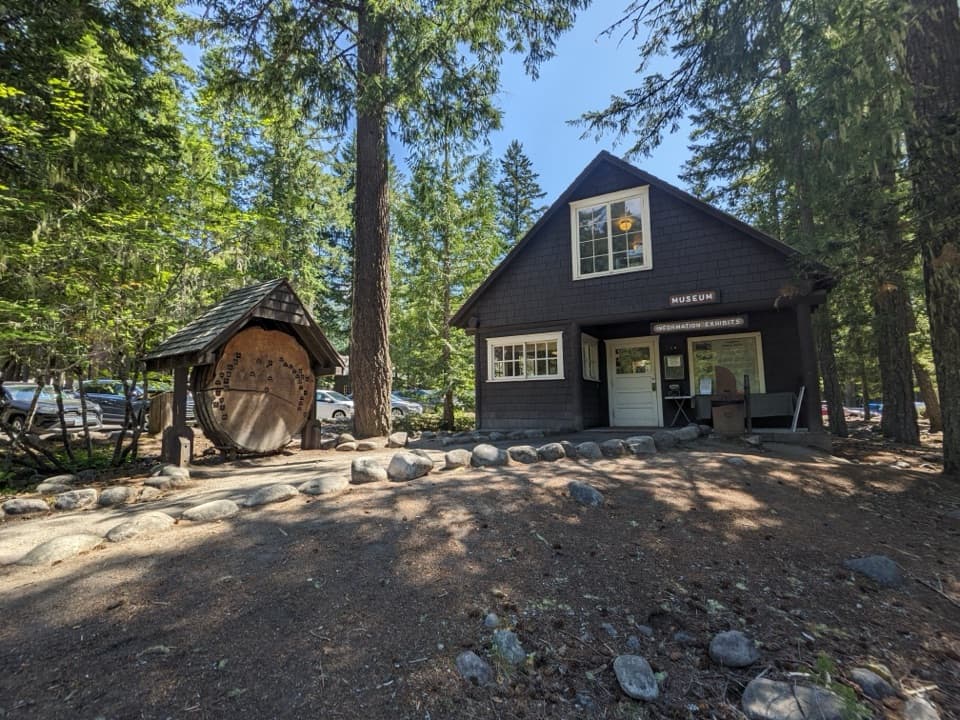 Sight · 2.3 mi awayLongmire MuseumOne historic room, a mountain lion, and the park’s early story
Parkwolf’s Mount Rainier ranking

The audio tour guide for the drive, plus offline maps, trails, and wildlife heatmaps for when the signal drops.




