North Puyallup River Trail in Mount Rainier National Park

Mount Rainier National Park, WA

North Puyallup River Trail

Follow a mossy old roadbed to a remote river camp.

Photo: National Park Service
Length
5.4mi
Time
3hr
Elev. change
725ft
Difficulty
Moderate
  • No dogs
  • High point 4,114 ft
Parkwolf audio tour77 stories across Mount Rainier’s roads

Overview

About North Puyallup River Trail

Why go

  • Mossy retaining walls, a river gorge and Tokaloo Rock at the finish.

Heads up

  • Dry Creek is 9.2 road miles from the actual trailhead.

Map & elevation

The route

Loading the Mount Rainier map
Full map
Elevation3,389–4,114 ft
TrailheadKlapatche Point at the end of Westside Road46.84835, -121.91931
Keep this map with you offline in the Parkwolf app

Plan your hike

Before you go

Parking

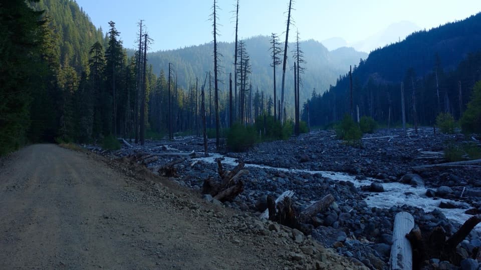
Use the small Dry Creek parking area and park south of the barricade because of rockfall danger. Klapatche Point is another 9.2 miles along Westside Road; reach it on foot or bicycle, since vehicles cannot drive that stretch. Access is usually seasonal from May through November; check current road conditions.

Safety

Expect repeated feeder-stream crossings and narrow, partly overgrown tread in places. There is no food or potable-water service at Klapatche Point. Pets are prohibited on Mount Rainier trails. Reaching the trailhead from Dry Creek also requires a 9.2-mile one-way road approach on foot or bicycle.

7 active Mount Rainier alerts

  • CautionWestside Road rockfall hazard and vehicle restrictionMentions Westside Road, referenced in this guideWestside Road is open but lies in an active geohazard zone with rockfall danger; vehicles must park south of the Dry Creek barricade.Official details
  • ClosureWildfire closures in the northern parkGrand Park 2 and Wonderland Complex fire closures affect trails, backcountry camps, and Sunrise access; stay out of closed areas.Official details
See all 7 alerts
A park ranger sits on a dash-mounted phone, talking, as Parkwolf’s Tour Guide plays “Army Cutworm Moths: A Grizzly Bear Buffet” on Grand Loop Road below Dunraven Pass in Yellowstone
Parkwolf Tour GuideThe highest, rockiest slopes around here are a summer buffet for grizzly bears.

Mount Rainier Tour Guide

Your drive to North Puyallup River Trail, narrated.

Parkwolf is a GPS audio tour guide for Mount Rainier National Park. As you drive, it chimes in with what’s ahead: hidden gems, upcoming stops, history, geology, and wildlife, right through your car’s speakers.

See the Mount Rainier audio tour

More stories near here in the app

  • Dry Creek: The Long Approach to Gobblers Knob
  • When Cars Were an Experiment
  • Paul Peak: Downhill Into the Forest
  • 77 audio storiesacross Mount Rainier’s roads, triggered by GPS as you drive
  • Wildlife heatmapsfor Mountain Goat, Black Bear, Wolverine, and 13 more
  • Works offlinemaps, 99 trails, 87 places, and audio download before you lose signal
  • CarPlay readysimple controls built for the drive
★★★★★
“Fantastic app with many points of information… It’s great to just turn on while you’re driving and it gives you an audio tour of the national Park. We love it!!!!”
JMJamesApp Store review
Download Parkwolf on the App StoreGet Parkwolf on Google Play

4.7 from 8,600+ ratings

Trail guide

Hiking North Puyallup River Trail

A quiet spur that takes planningNorth Puyallup River Trail is a 5.

North Puyallup River Trail is a 5.4-mile out-and-back between Klapatche Point and North Puyallup River Group Camp, following a mostly gentle old roadbed through forest to the Wonderland Trail. Allow about three hours for the named trail. The catch is getting to the start: Klapatche Point is 9.2 miles from Dry Creek along Westside Road. Walking that approach both ways turns the outing into about 23.8 miles total; a bicycle can shorten the road portion, but must stay at the rack because bikes are not allowed on park trails. This is a quiet river-camp spur for visitors already planning around Westside Road or a backcountry route.

Along the unfinished roadFrom Klapatche Point the path heads east across forested Klapatche Ridge on an unfinished road…

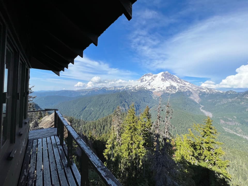
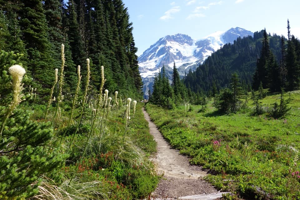
From Klapatche Point the path heads east across forested Klapatche Ridge on an unfinished road grade. In places the tread is narrow and partly overgrown, and moss has taken hold on stone retaining walls. It loses elevation gently, passes several feeder streams, then rises again as it turns north toward the river. Expect a quiet woods walk with occasional river-valley openings rather than a continuous viewpoint route.

At North Puyallup River CampThe route ends at the group camp on the old roadbed, beside the river gorge and close to the…

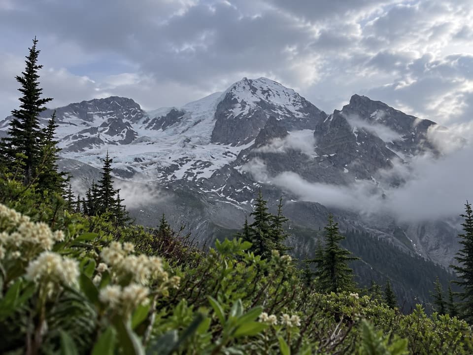
The route ends at the group camp on the old roadbed, beside the river gorge and close to the Wonderland Trail junction. Stonework from the unfinished road and the bridge abutment are the clearest reminders that this line was meant to continue farther. The standout view is Tokaloo Rock beyond the rocky river channel; include that channel in a photo to show the scale of the setting. Turn back at camp if this is your destination; continuing follows the Wonderland Trail and becomes a different trip.

Make the approach workThe small Dry Creek parking area is south of a barricade; do not park beyond it because of…

The small Dry Creek parking area is south of a barricade; do not park beyond it because of rockfall danger. Past Dry Creek, Westside Road is closed to vehicles, and access is usually seasonal from May through November, so check current conditions before traveling. There are no restrooms along Westside Road and no food or potable-water service at Klapatche Point; carry what you need. Pets are prohibited on Mount Rainier trails.

Wildlife

Wildlife in Mount Rainier

All Mount Rainier wildlife maps

Sighting maps show where each species has been reported across Mount Rainier. Wildlife moves, so no sighting is guaranteed.

Keep exploring

Near North Puyallup River Trail

See it all on the map

Trails that start nearby

Places near the trailhead

Parkwolf’s Mount Rainier ranking

Top-rated trails in Mount Rainier

All 99 trails
  1. 1Wonderland TrailChallenging · 93 mi
  2. 2Skyline Trail LoopChallenging · 5.5 mi
  3. 3Mount Fremont Lookout TrailModerate · 5.6 mi
  4. 4Burroughs Mountain TrailModerate · 6.2 mi
  5. 5Summerland TrailModerate · 8.4 mi
  6. 6Naches Peak Loop TrailModerate · 3.5 mi

Take Parkwolf to Mount Rainier.

The audio tour guide for the drive, plus offline maps, trails, and wildlife heatmaps for when the signal drops.

4.7 from 8,600+ ratings

Download Parkwolf on the App StoreGet Parkwolf on Google Play