Place · 2 mi away
Moderate

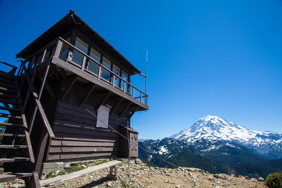
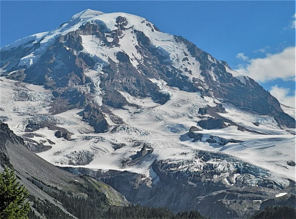
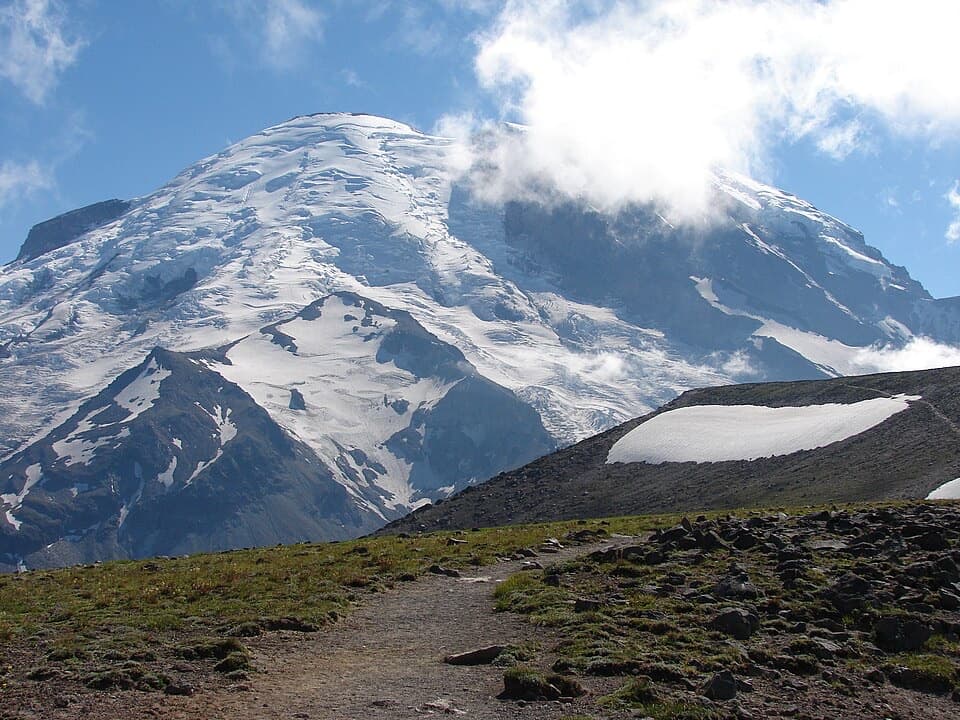
If you want a quieter alternative to Rainier’s headline hikes, Paul Peak delivers a calm, old-growth forest walk with selective peeks at the mountain’s northwest face. The trail’s calling card is its reverse profile: you start by going downhill and finish with the climb back to the car. The standard out-and-back is about 6.2 miles total, commonly extended to 7+ miles if you push past the Wonderland Trail junction toward the river.
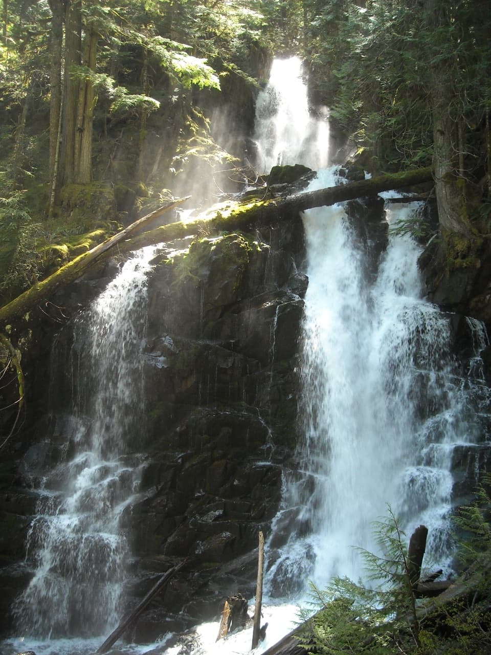
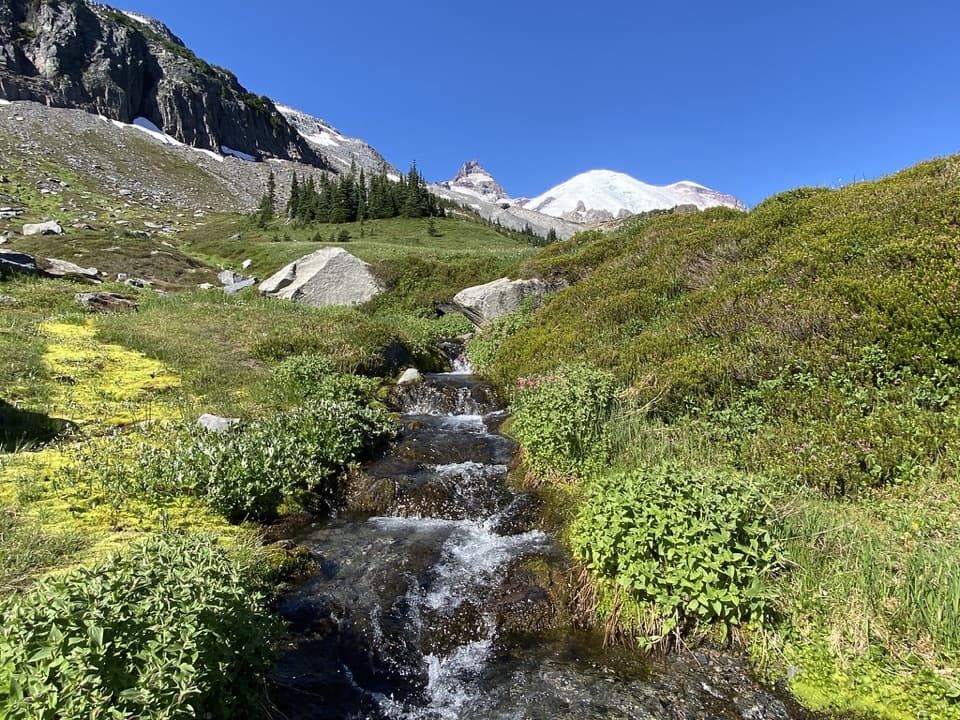
From the signed trailhead along Mowich Lake Road, the path descends gently through cool, mossy old-growth fir and hemlock. You’ll cross lively Meadow Creek on a sturdy log bridge, then contour along the flank of Paul Peak (the maintained trail never actually summits). Expect soft tread, switchbacks, and intermittent windows where Rainier pops through the trees—especially beyond the creek. The typical turnaround is the Wonderland Trail junction, but continuing down to the South Mowich River makes a great, scenic lunch add-on if you’ve got the legs for the climb back.
This is a moderate hike by numbers, but that uphill finish can feel punchy when you’re tired. Reported elevation gain ranges roughly 1,100–1,600 feet depending on your turnaround. The tread is well-groomed with minimal obstacles, making for efficient forest miles and a good “flowy” rhythm. It’s an ideal choice when you’re craving old-growth ambience and solitude over nonstop views.
Late spring through fall is the sweet spot. Spring and early summer bring trillium and other woodland blooms under the canopy; mornings often deliver the prettiest filtered light through the trees. The Mowich Lake Road can be snow-affected in winter—access may be limited or require walking portions of the road—so check conditions and be ready to adjust.
Yes—if you value a peaceful, old-growth hike with a few unique angles on Rainier and minimal crowds. If you need constant panoramas or a true summit from the maintained trail, pick a different objective.
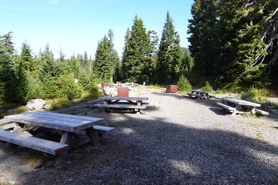
Small signed trailhead just inside the Mowich Lake entrance on Mowich Lake Road with space for roughly 8–10 cars, toilets, and trash/recycling; no potable water.
Reverse-profile hike: you descend first and must climb back out. Road access can be snow-affected in winter. Expect a log bridge at Meadow Creek and a few steeper sections.