Parking
Use the signed roadside Twin Firs Trailhead pullout, about 2 miles west of Longmire between the Nisqually Entrance and Longmire. Trailhead parking can fill; the park does not permit overflow parking.

Mount Rainier National Park, WA
A short loop among Douglas-firs, cedars, and hemlocks.
Overview
Map & elevation
Plan your hike

The highest, rockiest slopes around here are a summer buffet for grizzly bears.
Mount Rainier Tour Guide
Parkwolf is a GPS audio tour guide for Mount Rainier National Park. As you drive, it chimes in with what’s ahead: hidden gems, upcoming stops, history, geology, and wildlife, right through your car’s speakers.
See the Mount Rainier audio tourRecorded for this trailhead
Twin Firs: A Short Walk Among Old Trees“You're coming up on Twin Firs trailhead, where a four-tenths-of-a-mile loop takes you among old Douglas-firs, hemlocks and cedars.”
Plays as you drive up to this trailhead in the Parkwolf Mount Rainier Tour Guide.
More stories near here in the app
“Fantastic app with many points of information… It’s great to just turn on while you’re driving and it gives you an audio tour of the national Park. We love it!!!!”


Trail guide
The Twin Firs Loop Trail is a 0.4-mile circuit through lowland old-growth forest, two miles west of Longmire. Allow about 20 to 30 minutes. Come for the big conifers and a short forest walk, not a mountain view or a long outing. If you want another easy forest stroll nearby, the separate Trail of the Shadows loop starts in Longmire.
The dirt tread is softened by forest litter and crossed by large roots. One section climbs steeply up a hillside, then the route crosses a creek on a narrow log footbridge before descending toward the trailhead. Take that uneven stretch slowly, especially when snow covers the trail.
The original twin firs that gave the walk its name are gone, but the loop still passes large Douglas-firs, western hemlocks, and western red cedars. Fallen trunks and root balls make room for seedlings and ferns. Western trillium, vanilla leaf, and bunchberry bloom in summer; vine maples add orange-red color in fall.
Start at the signed roadside Twin Firs Trailhead pullout, between the Nisqually Entrance and Longmire. The trailhead is about two miles west of Longmire. Parking can fill, and the park does not allow overflow parking. There is no toilet at this trailhead, and pets are not allowed on park trails. Snow can cover the route in winter.
Wildlife
 466 sightingsMountain GoatMost seen around 6 AMSighting map
 383 sightingsBlack BearMost seen around 7 PMSighting map
 10 sightingsWolverineMost seen around 6 AMSighting map
 58 sightingsElkMost seen around 6 AMSighting map
 574 sightingsMule DeerMost seen around 6 AMSighting map
 1,853 sightingsHoary MarmotMost seen around 6 AMSighting map
Sighting maps show where each species has been reported across Mount Rainier. Wildlife moves, so no sighting is guaranteed.
Keep exploring
 ChallengingIndian Henry's Hunting Ground via Kautz Creek Trail11.5 mi · 7 hr · 0.8 mi awayA steep climb to a historic cabin in Rainier's wildflower meadows.
 EasyKautz Creek Nature Trail0.2 mi · 18 min · 0.8 mi awayA short boardwalk turns a mudflow scar into a forest story.
 ChallengingMirror Lakes Trail13.4 mi · 8.5 hr · 0.9 mi awayA signed lake spur waits beyond a steep climb into open meadows.
 ModerateRampart Ridge Trail4.6 mi · 2.5 hr · 1.6 mi awayA steep forest climb to a Rainier and glacier view.
 EasyTrail of the Shadows0.7 mi · 30 min · 1.7 mi awayA short loop through Longmire’s springs and resort history
 ChallengingWonderland Trail93 mi · 3.3 days · 1.7 mi awayA strenuous 93-mile circuit around Mount Rainier.
 ChallengingIndian Henry's Hunting Ground via Longmire13 mi · 8 hr · 1.7 mi awayA long climb to historic meadows and Mount Rainier views.
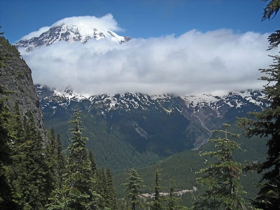 ChallengingEagle Peak Trail7.2 mi · 5 hr · 1.8 mi awayA steep forest climb earns a flowered saddle and Rainier views.
 Sight · 0.9 mi awayKautz CreekA short boardwalk to a mountain overlook and a glacier flood story.
 Sight · 1.6 mi awayValor MemorialEight basalt columns honor four people who died while helping others.
 Store · 1.6 mi awayLongmire General StoreA 1911 log shop for snacks and trail supplies.
 Lodging · 1.6 mi awayNational Park InnYear-round historic lodging in Longmire with a porch view of Rainier.
 Sight · 1.6 mi awayLongmire Community Building ViewpointA glacier-fed river, a 1927 park building, and a strong Rainier view.
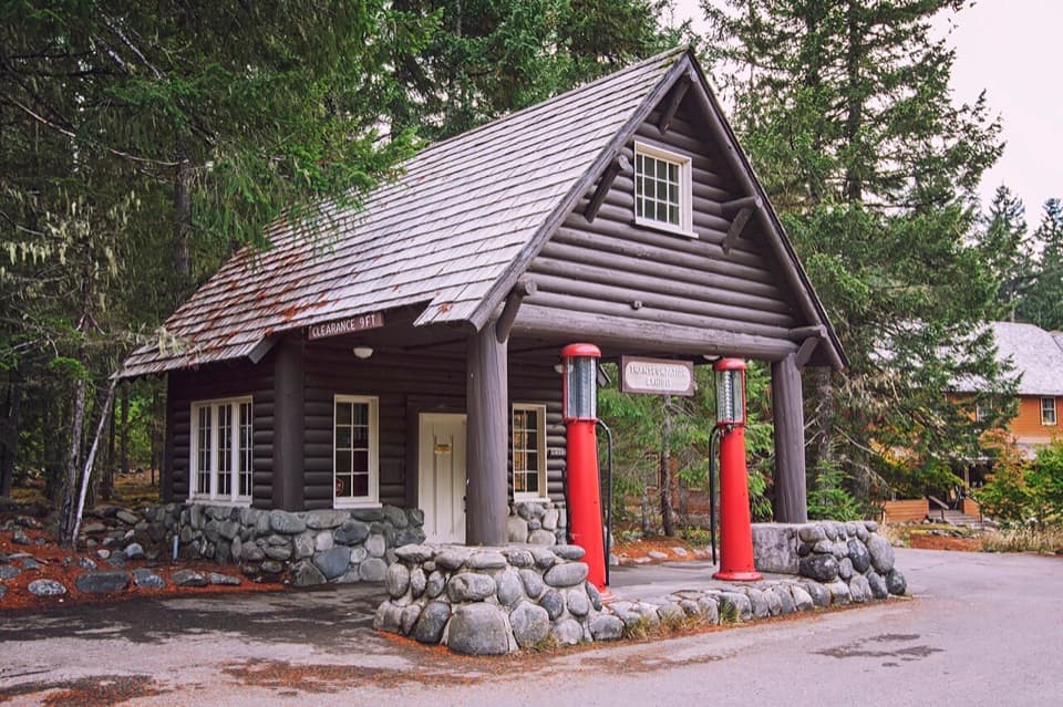 Sight · 1.6 mi awayLongmire Service StationA 1929 roadside station turned into a park travel-history exhibit.Sight · 1.6 mi awayLongmire Transportation ExhibitRoad history told inside a landmark gas station
 Sight · 1.7 mi awayLongmire Mineral SpringsRead the landscape through bubbles, mineral stains and a resort past.
Parkwolf’s Mount Rainier ranking

The audio tour guide for the drive, plus offline maps, trails, and wildlife heatmaps for when the signal drops.




