Place
Easy
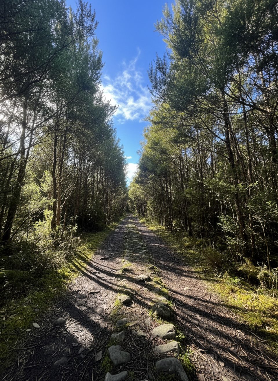
Anglers Walk is a gentle riverside track on the true right (north) bank of the Buller River, immediately below Lake Rotoiti near St Arnaud. It’s an easy, family‑friendly option when you want fresh air without committing to a big climb or hours on the trail.
Plan on roughly 2 km one way and about 45 minutes in that direction, or around 4 km total (about 2.5 miles) if you return the same way in 1–1.5 hours at an easy pace. Some walkers finish at SH63 and use the roadside to create a simple loop; otherwise, treat it as an out‑and‑back.
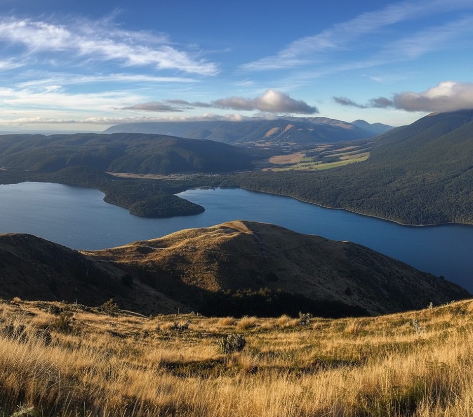
This is a river walk, not a summit hike. Expect the soothing rush of the Buller close to its lake source, with frequent spurs leading to the water for anglers. The vegetation is classic mānuka/kānuka scrub—pioneer species that signal historic fire and ongoing native‑forest regeneration. Don’t come for big alpine panoramas; come for the peaceful forest‑and‑river ambiance.
It’s walkable year‑round, but this is an alpine region—cold snaps and wet weather can hit any month. Summer brings long daylight and warm temps, yet also the highest sandfly activity. Wasps are notably common from roughly December through April. For soft light and fewer people, aim for early morning or late afternoon on weekdays.
Pick your start point to suit your plans: the classic access is Buller Bridge on Mt Robert Road near West Bay, with the western end meeting SH63. If you want to stretch things, link with the adjacent Moraine Walk and return via SH63 for variety—note the glacial landforms are on the Moraine Walk, not on Anglers Walk itself.
Carry a warm layer and a waterproof, even for short outings. Pack insect repellent; sandflies and seasonal wasps can be fierce. Leave valuables out of sight at trailheads—isolated car parks have occasional break‑ins. A permit is required for drone use on public conservation land. If you intend to fish, you’ll need a valid licence, and eel fishing is prohibited.
Park at Buller Bridge on Mt Robert Road near West Bay; the western end meets SH63 (Upper Buller Bridge). There’s also access from the West Bay campground area.
Alpine weather any time of year; bring warm and waterproof layers. Sandflies are persistent and wasps are common December–April—carry repellent. Keep valuables out of cars at isolated trailheads. Drone use requires a permit; fishing needs a licence and eel fishing is prohibited.
Challenging
Challenging
Challenging
Moderate

Parkwolf Tour Guide