Pros & cons
PROS
- Panoramic views of Ross Lake and surrounding peaks from atop the dam
- Short, rewarding hike with a waterfall and the chance to walk the dam
CONS
- Steep climb back to the car with some loose rock underfoot
- Trailhead parking along Hwy 20 fills fast in peak season
Overview
Ross Dam is a dramatic Skagit River hydroelectric dam with big payoffs for a relatively short effort. From the top, you get sweeping views of blue-green Ross Lake and jagged North Cascades peaks. The dam is a substantial structure—about 540 feet tall and roughly 1,300 feet long—so the scale and scenery both impress. Expect it to be windy on the crest, which only adds to the sense of exposure and grandeur.
The Hike In
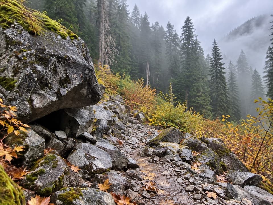
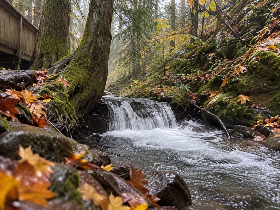
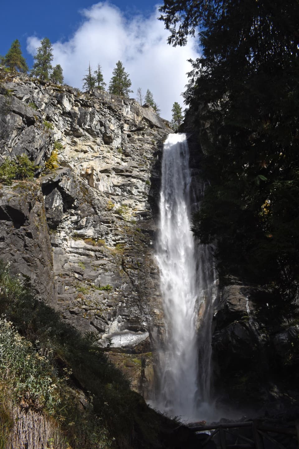
The Ross Dam Trail runs about 1.4–1.6 miles round-trip, dropping roughly 360–500 feet from Highway 20 to the dam. It’s an easy descent on the way down, but the return is a steady uphill that will get your heart rate up. The path is mostly straightforward with a few looser, gravelly sections—watch your footing. You’ll pass a small waterfall and get teasing lake views before reaching the dam.
What You’ll See
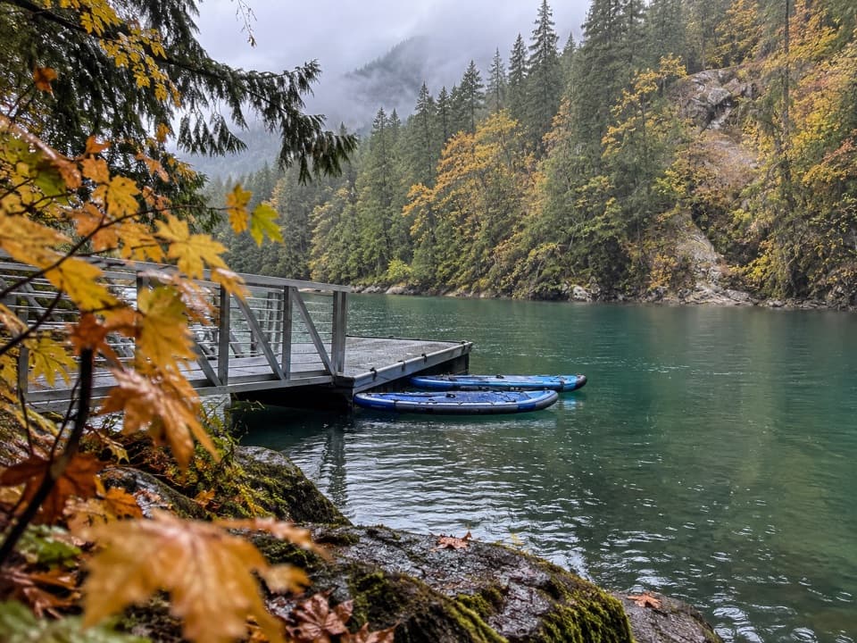
From the dam, look out over the long, fjord-like sweep of Ross Lake and the serrated skyline beyond. You can usually walk the span end to end for different angles. Look across to spot the floating Ross Lake Resort tucked along the shore. On clear days the color of the water is striking—great for photos when the light hits it right.
Getting There
The trailhead sits off Highway 20 between mileposts 134 and 135. This is the main foot access to the dam and a common route used to reach Ross Lake Resort by trail. Parking is limited and popular on summer weekends—arrive early or come later in the day to avoid circling.
Logistics and Amenities
Don’t count on amenities here. Restroom availability at small pullouts along Highway 20 is inconsistent and often seasonal; plan bathroom stops at larger hubs before you arrive. There’s no reliable potable water at the trailhead—bring what you need. Dogs are allowed on leash on this trail within the Ross Lake National Recreation Area, but rules are much stricter in most of the surrounding park complex.
Best Time to Visit
June through August offer the most reliable trail conditions and the best shot at those vivid lake colors. Shoulder seasons can be lovely but variable. In winter, Highway 20 often closes near the Ross Dam parking area for months; when it’s closed, services are essentially nonexistent. For fewer people and easier parking, aim for early mornings on weekdays.
Tips for a Smooth Visit
- It’s frequently breezy on the dam—secure hats and loose items.
- Bring extra water; the uphill return is short but stout.
- If the lot is full, don’t improvise parking—continue to another pullout and circle back.
- Check current road and trail conditions in spring and fall when snow and blowdowns are possible.
- Treat this corridor gently—pack out all trash and stick to established paths.
Where it is
48.7323, -121.0677Tips for Ross Dam
- 01Arrive early; the small Highway 20 lot fills quickly on summer weekends.
- 02Carry plenty of water—the return hike climbs 360–500 feet.
- 03Secure hats and small items; it’s often windy on the dam.
- 04Check Highway 20 seasonal closures before you go, especially in winter.
- 05If parking is full, move on to the next safe pullout and try again later.
Amenities
Near Ross Dam
All places →All trails →
0.4 mi awayRoss Dam TrailShort, steep drop to big views of Ross Lake and the dam.Moderate · 1.5 mi · 48 min
0.6 mi awayRoss Lake ResortFloating cabins on alpine Ross Lake with boat rentalsLodging · Parking
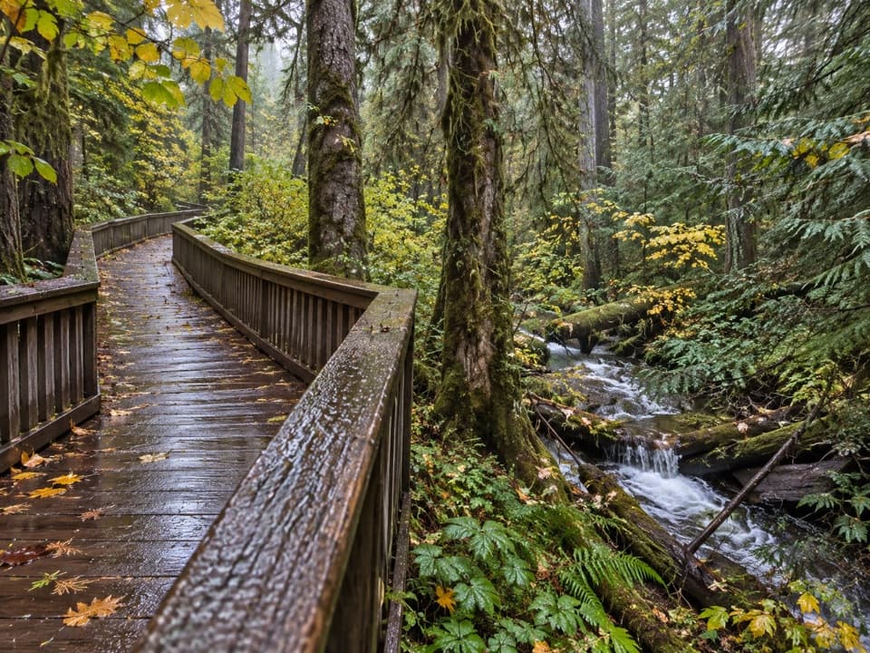
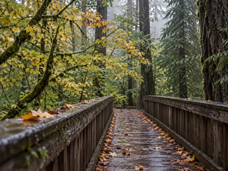
0.6 mi awayHappy Creek Forest WalkMossy boardwalk loop with an optional steep spur to a seasonal fallsEasy · 0.3 mi · 15 min
0.6 mi awayHappy Creek Forest WalkShaded old-growth boardwalk with optional steep spur to a fallsTrailhead · Restroom
1.2 mi awayRoss Lake OverlookQuick roadside stop with partial views toward Ross LakePullout · Parking
2 mi awaySourdough Mountain LookoutHistoric fire lookout with big views over Diablo LakeScenic Viewpoint
2.5 mi awayDiablo Lake TrailForest-to-dam traverse with gorge drama and turquoise waterModerate · 7.6 mi · 4 hr
3.2 mi awayThunder Knob TrailShort, steady climb to Diablo Lake’s turquoise panoramaEasy · 3.6 mi · 1.7 hr