Parking
Ross Dam Trailhead parking area on SR 20 near milepost 134. Ross Lake Resort water taxi can serve Big Beaver or Little Beaver landings as alternate access; arrange it in advance.
North Cascades National Park, WA
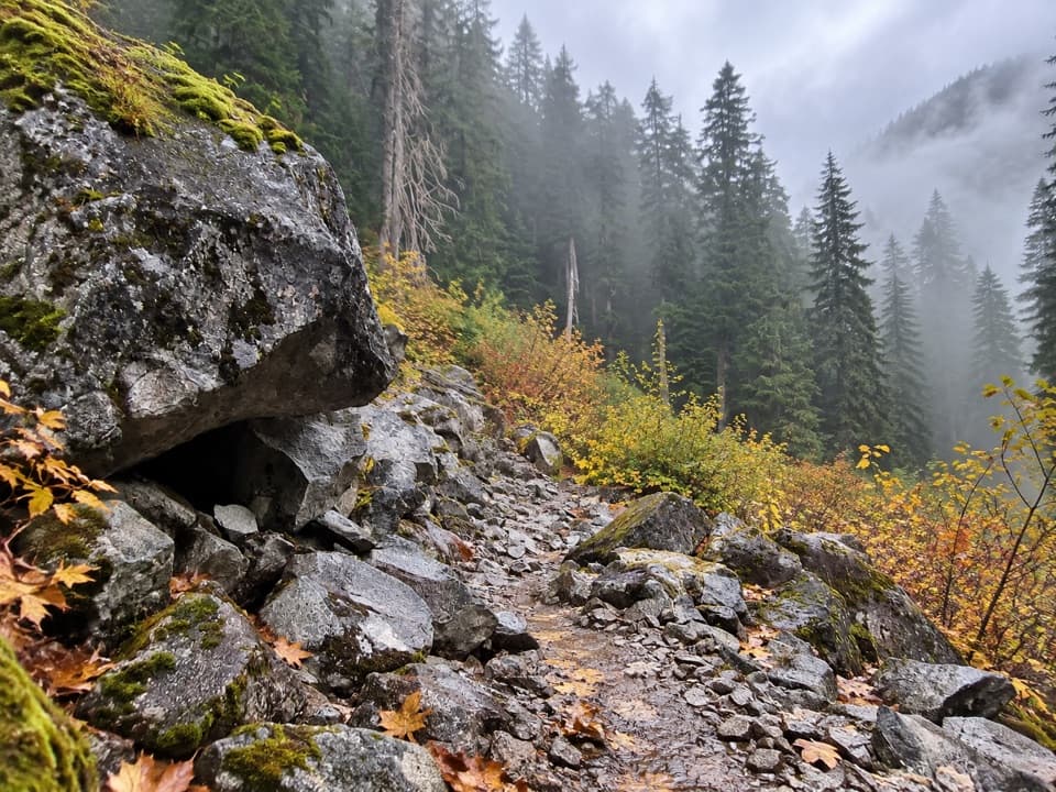
A long valley traverse past ancient cedars and beaver marshes.
Overview
Map & elevation
Plan your hike

The highest, rockiest slopes around here are a summer buffet for grizzly bears.
North Cascades Tour Guide
Parkwolf is a GPS audio tour guide for North Cascades National Park. As you drive, it chimes in with what’s ahead: hidden gems, upcoming stops, history, geology, and wildlife, right through your car’s speakers.
See the North Cascades audio tourRecorded for this trailhead
Ross Dam and the Floating Resort“You're nearing Ross Dam Trailhead, the walking access to Ross Dam and Ross Lake Resort. For the dam, allow about two hours for the two-and-a-half-mile round trip, with a steep climb back to the highway.”
Plays as you drive up to this trailhead in the Parkwolf North Cascades Tour Guide.
More stories near here in the app
“Fantastic app with many points of information… It’s great to just turn on while you’re driving and it gives you an audio tour of the national Park. We love it!!!!”


Trail guide
Big Beaver Trail is a 24.6-mile, one-way point-to-point hike from Ross Dam Trailhead on State Route 20 to the Little Beaver Trail junction. It follows Ross Lake’s west shore, turns up Big Beaver Creek valley, climbs to Beaver Pass, then descends toward Little Beaver Creek. Plan it as a wilderness backpack: the park describes one-to-four-day itineraries, depending on pace and camp stops. Its route figures include about 500 feet of descent and 2,000 feet of climbing. The main commitment is the distance and remote exit logistics. If you want a short taste, Ross Dam is 1.3 miles each way from the trailhead, though the steep descent makes the climb back out demanding.
From Ross Dam Trailhead, the path drops about 0.8 mile to a gravel service road. Turn left briefly, then follow the incline down to the top of Ross Dam. Cross the dam and head north along the lake’s west shore. It’s about six miles to Big Beaver Creek, with several small creek crossings and occasional lake glimpses through lodgepole pine and Douglas-fir. Pierce Creek is a memorable stop on this stretch: it tumbles out of a narrow gorge under the footbridge and drops into the lake. The route also passes through forest that still shows signs of a large 1926 fire.
Cross Big Beaver Creek on the steel bridge. A short spur east reaches the stock and boat camps; the main route continues up the valley. About three miles above the bridge, it enters an old-growth western redcedar grove. Some of those trees are more than 15 feet in diameter and over a thousand years old. Beyond them, the trail skirts active beaver ponds and marshes, where patient hikers may spot beavers, otters, ducks, deer or marsh birds. Sightings aren’t guaranteed, and the wetlands can be buggy. The marsh was designated a research natural area in 1991, so pass through with care.
Seven miles above Ross Lake, the McMillan Creek gorge opens a view toward McMillan Cirque and McMillan Spires. The route’s high point is Beaver Pass, a broad, forested saddle at 3,654 feet, about 13 miles from Ross Lake. John McMillan arrived in the valley in 1884 and made a home here with his wife, Emma, living by trapping, prospecting and packing. He was buried beside Big Beaver Creek in 1922; the place names recall a human history that predates the long wilderness route.
From Beaver Pass, steep switchbacks drop about 2.9 miles to Stillwell Camp on Little Beaver Creek. The Little Beaver junction is about another mile downstream. A boat-assisted semi-loop continues ten more miles down Little Beaver to the Ross Lake landing, but you need to arrange a water taxi in advance; no trail connects the landing to a road. Otherwise, plan your return logistics before setting out. Campsites are no more than about five miles apart, and a backcountry permit is required for every overnight stay; permits are limited. Pets are prohibited west of 39 Mile Camp. The route’s low elevation can make it useful in the early or late season, but its length and remote exit logistics still call for a careful itinerary.
Wildlife
 101 sightingsMountain GoatMost seen around 6 PMSighting map
 70 sightingsBlack BearMost seen around 8 PMSighting map
 20 sightingsMule DeerMost seen around 7 PMSighting map
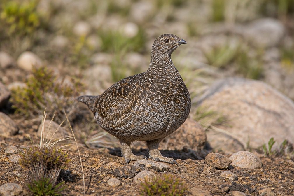 77 sightingsSooty GrouseMost seen around 6 AMSighting map
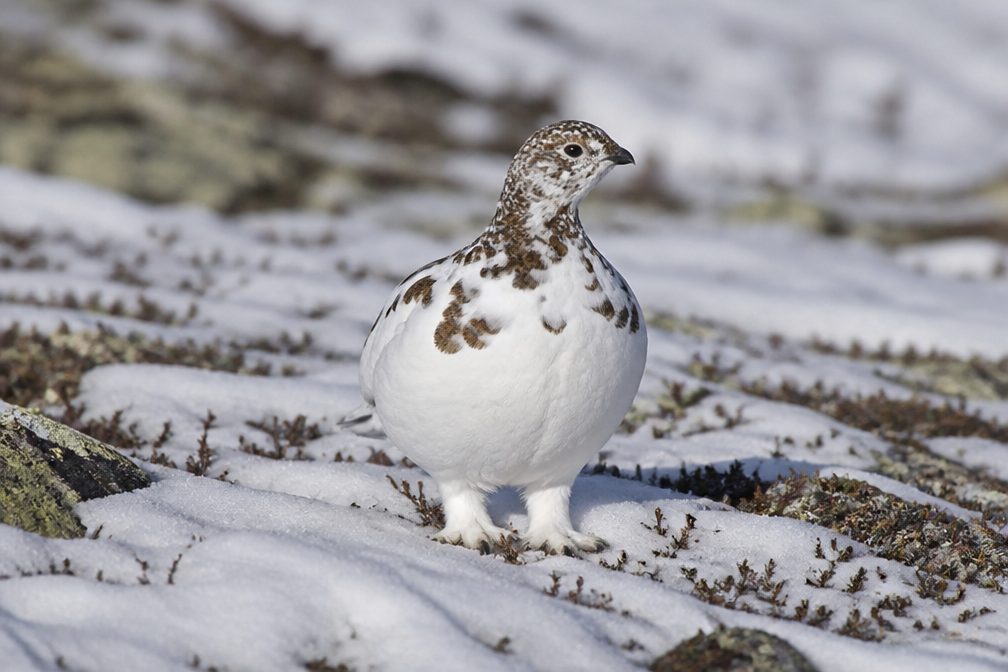 23 sightingsWhite-tailed PtarmiganMost seen around 6 PMSighting map
 75 sightingsWestern ToadMost seen around 8 PMSighting map
Sighting maps show where each species has been reported across North Cascades. Wildlife moves, so no sighting is guaranteed.
Keep exploring
 ModerateRoss Dam Trail2.5 mi · 2 hr · At the trailheadWalk through forest to Ross Dam, then climb back to SR 20.
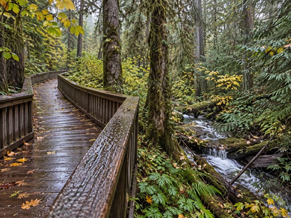 EasyHappy Creek Forest Walk0.3 mi · 15 min · 0.3 mi awayA short boardwalk loop beside Happy Creek and old-growth trees.
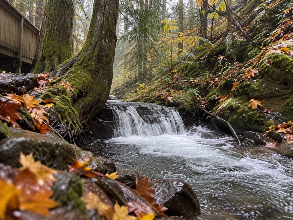 ModerateHappy Creek Falls Trail2.6 mi · 2.5 hr · 0.3 mi awayOld sawmill relics and stepped falls reward a steep creekside climb.
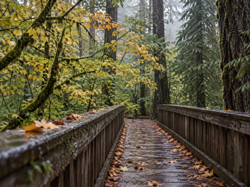 EasyDeer Creek Loop0.3 mi · 15 min · 2.5 mi awayA quarter-mile loop winds beside Deer Creek Shelter.
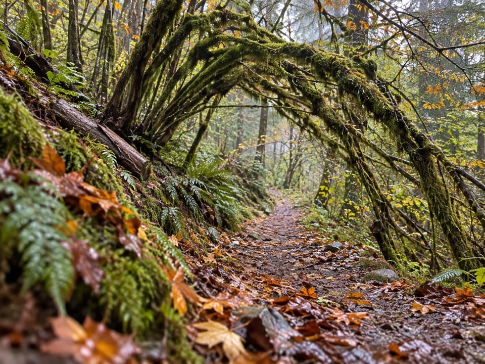 ModerateSourdough Creek Trail3.5 mi · 2.8 hr · 2.6 mi awayA forest path to Sourdough Creek Falls, with a rocky finish.
 ModerateDiablo Lake Trail7.6 mi · 4.5 hr · 2.7 mi awayA long forest climb earns a high bridge over Diablo Lake
 ModerateThunder Knob Trail3.8 mi · 2.5 hr · 3 mi awayTake the steady climb for broad views over turquoise Diablo Lake.
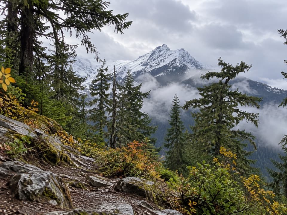 ChallengingFourth of July Pass via Thunder Creek10.4 mi · 7 hr · 3.2 mi awayA shady creek walk gives way to steep climbing and glacier views.
 Sight · 0.4 mi awayRoss DamWalk a concrete dam between Ross Lake and the Skagit gorge.
 Lodging · 0.8 mi awayRoss Lake ResortA floating Ross Lake resort reached by boat or a mile-long hike.
 Campground · 0.9 mi awayGreen Point CampA small boat-in camp for a quiet Ross Lake night.
 Sight · 1 mi awayRoss Lake OverlookA quick Ross Lake view from a wooded Highway 20 pullout.
 Campground · 1.8 mi awayBuster Brown CampA lake camp reached by water, with its own boat dock.
 Sight · 2 mi awayDiablo Lake OverlookA quick roadside view of glacial turquoise beneath the Cascades.
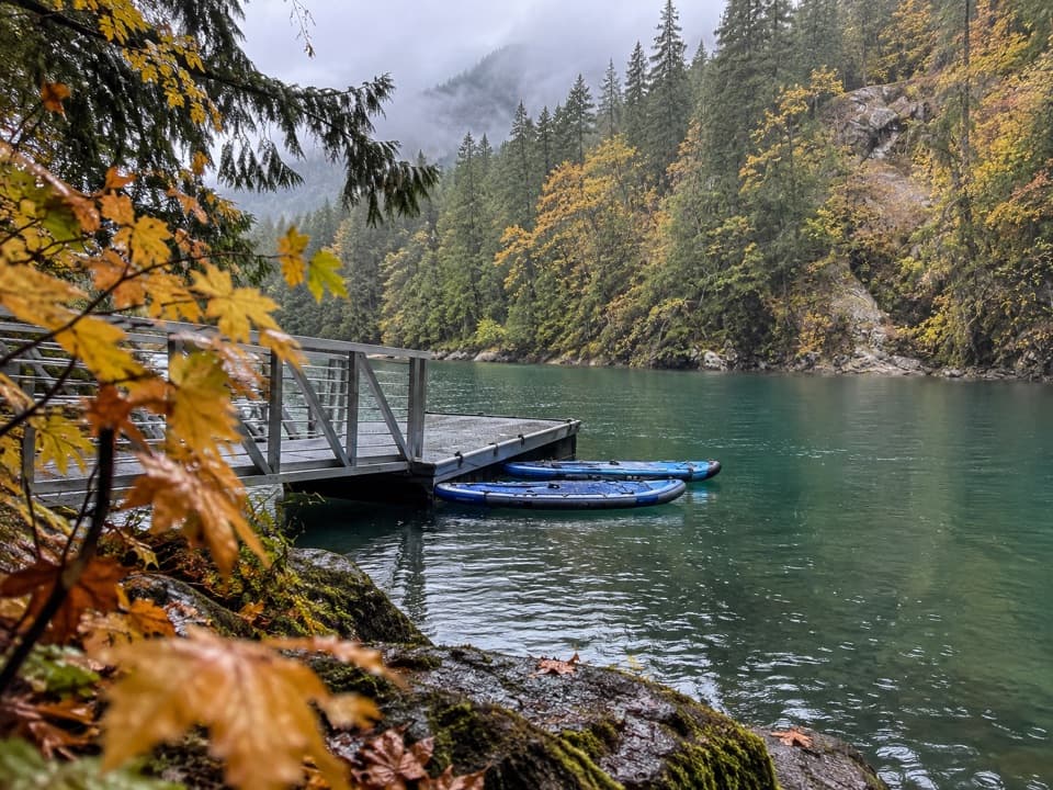 Campground · 2.1 mi awayHidden Cove CampA single-site camp with a sheltered dock, reached only by boat.
 Campground · 2.3 mi awayThunder Point CampA quiet three-site boat-in camp on Diablo Lake.
Parkwolf’s North Cascades ranking

The audio tour guide for the drive, plus offline maps, trails, and wildlife heatmaps for when the signal drops.