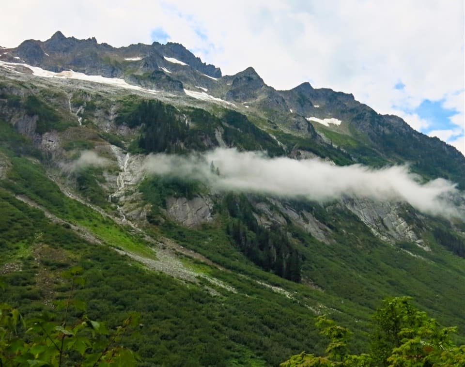
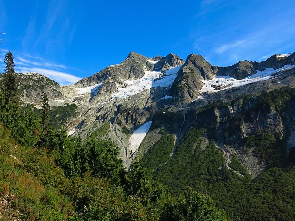
Baker River Trail 606 in North Cascades National Park

North Cascades National Park, WA

Baker River Trail 606

A gentle 5.2-mile river walk to Sulphide Creek Camp.

Length
5.2mi
Time
2.5hr
Elev. change
121ft
Difficulty
Moderate
  • No dogs
  • High point 896 ft
  • #31 of 88 in North Cascades
Parkwolf audio tour83 stories across North Cascades’s roads

Overview

About Baker River Trail 606

Why go

  • Massive cedars, mossy boulders, and a close-up river walk
  • A worthwhile bridge viewpoint makes a good shorter outing

Heads up

  • The Lake Creek crossing is unbridged and can be unsafe in high runoff

Map & elevation

The route

Loading the North Cascades map
Full map
Elevation775–896 ft
TrailheadBaker River Trailhead / Baker River Trail 60648.75038, -121.55577
Keep this map with you offline in the Parkwolf app

Plan your hike

Before you go

Parking

Baker River Trailhead is at the end of Forest Service Road 11 (Baker Lake Road); the final six miles are gravel. The large lot has a vault toilet. A valid recreation pass is required; Northwest Forest and America the Beautiful passes are accepted.

Safety

Lake Creek's old footbridge is washed out; logs have been used to cross, and high runoff can make the creek too deep and fast to cross safely. Check current conditions and turn back if the crossing is unsafe. Dogs are prohibited in the North Cascades National Park portion. An NPS backcountry permit is required for an overnight at Sulphide Creek Camp.

7 active North Cascades alerts

  • ClosureWildfire closures and Stehekin fire advisoryWildfire-related closures remain in effect; stay out of all closed trails, camps, and areas.Official details
  • CautionCampfires banned across the park complexCampfires and other ash-producing fires are banned throughout the North Cascades National Park Service Complex.Official details
See all 7 alerts
A park ranger sits on a dash-mounted phone, talking, as Parkwolf’s Tour Guide plays “Army Cutworm Moths: A Grizzly Bear Buffet” on Grand Loop Road below Dunraven Pass in Yellowstone
Parkwolf Tour GuideThe highest, rockiest slopes around here are a summer buffet for grizzly bears.

North Cascades Tour Guide

Your drive to Baker River Trail 606, narrated.

Parkwolf is a GPS audio tour guide for North Cascades National Park. As you drive, it chimes in with what’s ahead: hidden gems, upcoming stops, history, geology, and wildlife, right through your car’s speakers.

See the North Cascades audio tour
  • 83 audio storiesacross North Cascades’s roads, triggered by GPS as you drive
  • Wildlife heatmapsfor Mountain Goat, Black Bear, Mule Deer, and 10 more
  • Works offlinemaps, 88 trails, 76 places, and audio download before you lose signal
  • CarPlay readysimple controls built for the drive
★★★★★
“Fantastic app with many points of information… It’s great to just turn on while you’re driving and it gives you an audio tour of the national Park. We love it!!!!”
JMJamesApp Store review
Download Parkwolf on the App StoreGet Parkwolf on Google Play

4.7 from 8,600+ ratings

Trail guide

Hiking Baker River Trail 606

What this walk isBaker River Trail 606 is a 5.

Baker River Trail 606 is a 5.2-mile round-trip out-and-back from Baker River Trailhead to Sulphide Creek Camp, where Sulphide Creek meets Baker River. It gains about 300 feet and usually takes 2 to 2.5 hours when the creek crossing is passable. Most of the walk is gentle, low-elevation forest beside the river; the crossing at Lake Creek is the part to judge carefully. The trail starts on Forest Service land and continues into North Cascades National Park.

Access and a shorter outingThe trailhead is at the end of Forest Service Road 11, also called Baker Lake Road.

The trailhead is at the end of Forest Service Road 11, also called Baker Lake Road. The last six miles are gravel; there is a large parking area and a vault toilet. A valid recreation pass is required. At about 0.6 mile, the Baker Lake Trail crosses the Baker River on a suspension bridge. It’s a worthwhile short detour for the open river and Baker Lake view; return to the junction and follow the Baker River Trail sign to continue toward camp. The bridge spur is also the best shorter version of this hike.

The river and forestThe route alternates flatter stretches above the river with brief rocky, rooty rises and dips.

The route alternates flatter stretches above the river with brief rocky, rooty rises and dips. Look for massive cedars and a pair of moss-covered boulders; one has a small cave. The suspension bridge gives the broadest view, while the rest of the trail keeps you close to the wooded river valley. A photo from the bridge can frame the water through the span and show how the river sits below the surrounding slopes.

Lake Creek and beyondJust over a mile in, the old footbridge at Lake Creek is washed out.

Just over a mile in, the old footbridge at Lake Creek is washed out. Hikers have used logs to cross, but during high runoff the creek can be too deep and fast to wade safely. Check current conditions before setting out and turn back if the water doesn’t look safe; the crossing can change after high water. After the creek, the path leaves the river for a stretch, passes a beaver-made pond and berry shrubs, and opens to views south toward the Noisy-Diobsud Wilderness. When leaves are down, waterfalls show on the cliffs behind the trail.

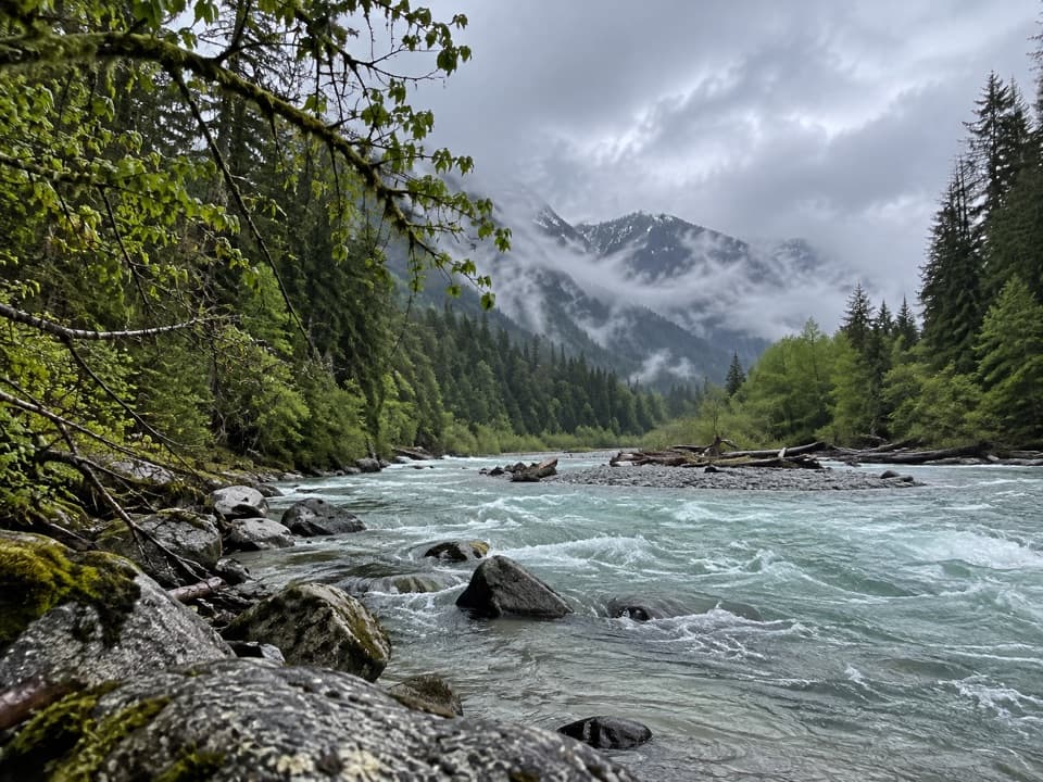
Sulphide Creek CampThe final mile in the park is a mossy forest walk to Sulphide Creek Camp at the confluence.

The final mile in the park is a mossy forest walk to Sulphide Creek Camp at the confluence. Mount Shuksan may appear from the camp on a clear day. Dogs are not allowed in the national park portion, so a dog can’t accompany the full route. An NPS backcountry permit is required to stay overnight at camp; treat all water before drinking.

Wildlife

Wildlife in North Cascades

All North Cascades wildlife maps

Sighting maps show where each species has been reported across North Cascades. Wildlife moves, so no sighting is guaranteed.

Parkwolf’s North Cascades ranking

Top-rated trails in North Cascades

All 88 trails
  1. 1Sahale Arm TrailChallenging · 11.8 mi
  2. 2Cascade Pass TrailModerate · 7.4 mi
  3. 3Heather–Maple Pass LoopChallenging · 7.2 mi
  4. 4Hidden Lake TrailChallenging · 9 mi
  5. 5Copper Ridge / Chilliwack River LoopChallenging · 33.5 mi
  6. 6Thunder Knob TrailModerate · 3.8 mi

Take Parkwolf to North Cascades.

The audio tour guide for the drive, plus offline maps, trails, and wildlife heatmaps for when the signal drops.

4.7 from 8,600+ ratings

Download Parkwolf on the App StoreGet Parkwolf on Google Play