Challenging

Chilliwack River Trail

Remote valley trek with a cable car crossing and big loop connections
Chilliwack River Trail, North Cascades National Park
Distance11 mi
Typical time7 hr
DifficultyChallenging
PetsNot allowed

Overview

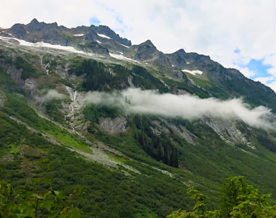
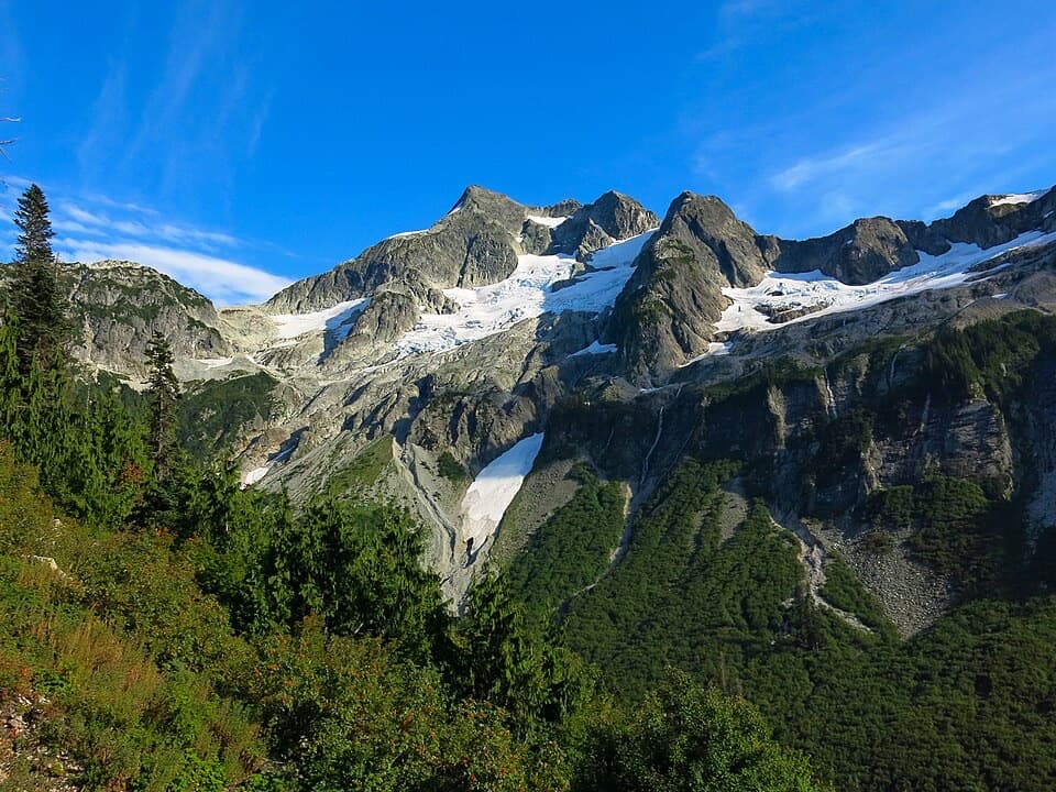
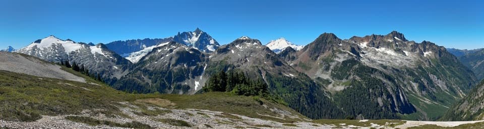
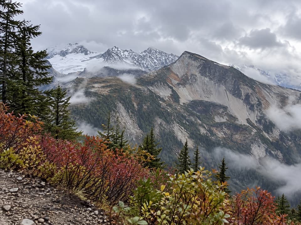
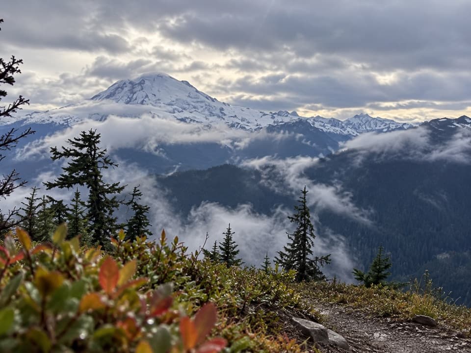
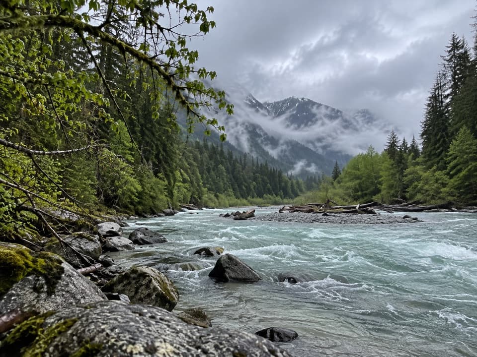
The Chilliwack River Trail is the quiet, rugged heart of the classic Copper Ridge/Chilliwack backpacking experience—more wilderness connector than headline hike, but absolutely worth it if you like solitude and a little grit. Expect old‑growth forest, a memorable cable car river crossing, and a deep‑valley feel that contrasts with the airy heights of Copper Ridge. It’s remote and can be brushy, so come prepared for slower miles and self‑reliant travel.

Route and Distance

Most hikers reach the Chilliwack River Trail from the Hannegan Pass Trailhead, climbing to Hannegan Pass and descending to Boundary Camp at the park boundary. From the official start at the boundary, the Chilliwack River Trail runs roughly 10–11 miles to its end, with mostly gentle grades once in the valley. Key waypoints include the Chilliwack River cable car crossing (about 5 miles in from the boundary), the Brush Creek junction (toward Whatcom Pass and Ross Lake), and the Copper Ridge junction; the trail ends shortly after. Add roughly 5 miles of approach from the trailhead to reach the boundary. If you fold in Copper Ridge or Whatcom Pass, expect big climbs and a very different, high‑alpine character.

Camping and Permits

A backcountry permit is required for all overnight stays, and summer permits are competitive due to the popularity of the Copper/Chilliwack loop. Established camps along the valley include Boundary (no fires), Copper Creek, and U.S. Cabin. Bear Creek and Little Chilliwack camps remain closed due to the 2021 Bear Creek Fire. Copper Creek has two toilets and is a comfortable stop in the valley. Note that campfire rules change with conditions; as of recent guidance, campfires are banned throughout the park complex—plan to cook on a stove only.

Hazards and Seasonal Conditions

The signature obstacle is the Chilliwack River crossing. In lower water (typically late July–August), some parties ford; otherwise, a cable car provides a safer crossing—bring gloves to protect your hands while pulling the rope. Signage can be easy to miss near the crossing, and sections of trail can be overgrown with blowdowns and faint tread. Wildlife (including bears) is common; store food properly and stay alert. Bugs can be intense in mid‑summer. Higher up on Copper Ridge, lingering snow into July isn’t unusual; check current conditions if your itinerary includes the ridge. If you’re considering approaches from the Canadian side of the range, know that the Hozomeen Gate is closed to both vehicle and foot traffic—you must use a designated port of entry.

Best Time to Hike

July through September generally offer the best balance of low river levels, melted‑out high country (if you’re adding Copper Ridge/Whatcom Pass), and long daylight. Earlier in the season brings colder, higher fords and more lingering snow on the ridge. Weekdays see fewer parties competing for permits and camps, and the valley itself remains quieter than the ridge even in peak summer.

Tips

  • Carry gloves for the cable car and trekking poles for fords. Long pants help with brush.
  • Download a GPX and carry a paper map/compass—pink flagging sometimes marks the line, but don’t count on it.
  • Build margin into your daily mileage; valley brush and blowdowns often slow progress more than you’d expect.
  • If you want bigger views with similar logistics, add Copper Ridge; if you want a longer traverse, use Brush Creek to reach Whatcom Pass and continue toward Ross Lake via Little or Big Beaver.

Pros

  • Unique cable car river crossing that adds safe passage and a fun challenge
  • Direct connections to Brush Creek, Whatcom Pass, and Ross Lake for creative itineraries

Cons

  • Brushy, faint tread with blowdowns can make miles slower than expected
  • High summer permit demand for Copper/Chilliwack zones complicates trip planning

Parking

Park at Hannegan Pass Trailhead via Mt. Baker Highway and Hannegan Road (USFS 32) to its end; a Northwest Forest Pass or federal recreation pass is required.

Caution

Expect a cable car or ford at the Chilliwack River, brushy sections with blowdowns, plentiful bears and bugs, and lingering early-season snow if adding Copper Ridge. Check for current fire restrictions and camp/zone closures.

The Parkwolf tour guide sitting on a phone mounted in a car

Parkwolf Tour Guide

Like a tour guide in your car.

Bring North Cascades trail research into the car, with offline maps and stories that play as you drive.Download Parkwolf on the App Store